Wrakendike
Heritage Site in Durham
England
Wrakendike
Wrakendike is a historic heritage site located in Durham, England. Situated near the River Wear, it holds significant archaeological and historical importance. The name "Wrakendike" derives from the Old English word "wracu" meaning "wreckage" or "debris," indicating the presence of ruins at the site.
The site is believed to have been occupied since the Roman period, with evidence of Roman pottery and coins discovered during excavations. It later became a settlement during the Anglo-Saxon era, as indicated by the presence of Saxon artifacts. The remains of a medieval village have also been unearthed, including foundations of houses and a church.
One of the most notable features of Wrakendike is the presence of an ancient defensive ditch. The ditch, thought to date back to the 11th century, served as a defensive barrier and reflects the strategic significance of the site during turbulent times. The ditch is still visible today and serves as a reminder of the site's rich history.
Wrakendike is currently a protected heritage site, managed by a local preservation society. It offers visitors the opportunity to explore the remains of the medieval village and the defensive ditch. Interpretive signage provides historical context and information about the site's significance.
The site is accessible to the public and is a popular destination for history enthusiasts, archaeologists, and tourists interested in exploring Durham's rich heritage. Wrakendike serves as a window into the past, providing valuable insights into the region's history and the lives of its inhabitants throughout the ages.
If you have any feedback on the listing, please let us know in the comments section below.
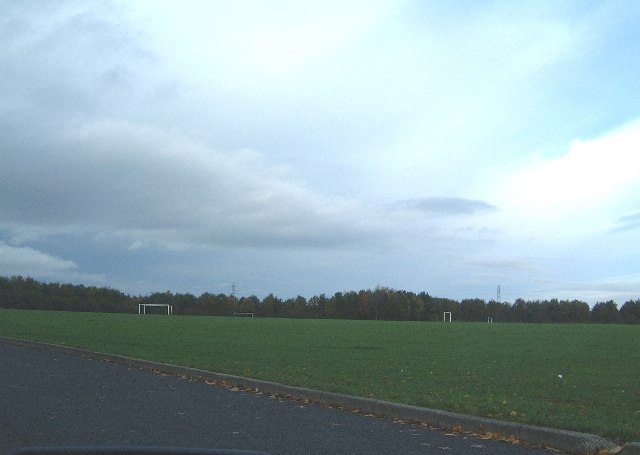
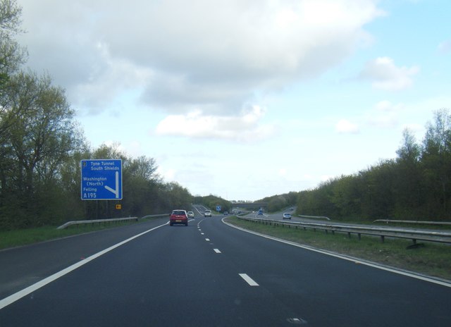
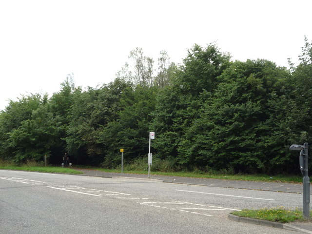
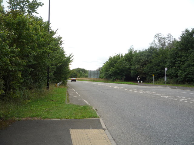
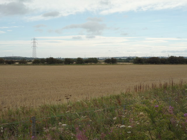
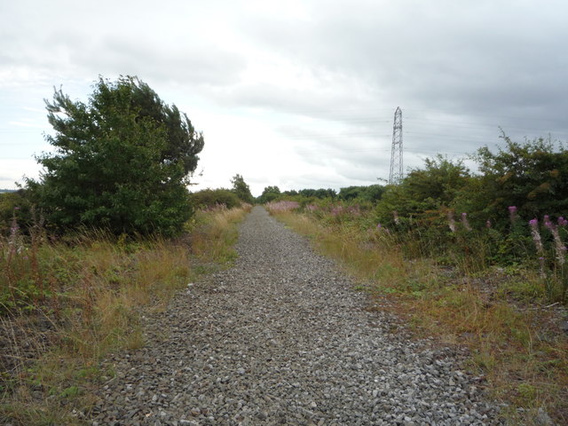
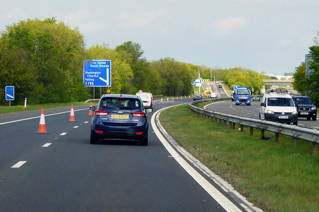
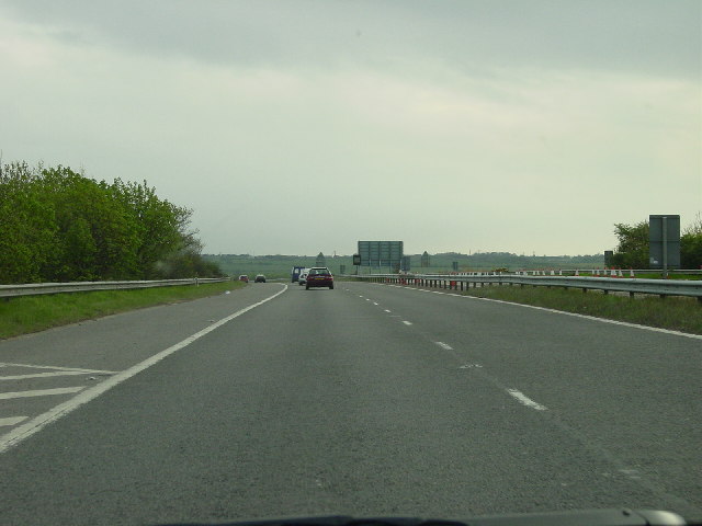
Wrakendike Images
Images are sourced within 2km of 54.947/-1.523 or Grid Reference NZ3061. Thanks to Geograph Open Source API. All images are credited.

Wrakendike is located at Grid Ref: NZ3061 (Lat: 54.947, Lng: -1.523)
Unitary Authority: Gateshead
Police Authority: Northumbria
What 3 Words
///lure.insert.cuddled. Near Hebburn, Tyne & Wear
Nearby Locations
Related Wikis

Bill Quay
Bill Quay is a residential area in Gateshead, located around 4 miles (6.4 km) from Newcastle upon Tyne, 12 miles (19 km) from Sunderland, and 17 miles...
Wardley, Gateshead
Wardley is a residential area in Gateshead, located around 4 miles (6.4 km) from Newcastle upon Tyne, 10 miles (16 km) from Sunderland, and 15 miles (24...
Springwell railway station
Springwell railway station served Springwell Village, Tyne and Wear, England, from 1844 to 1871 on the Durham Coast Line. == History == The station opened...
Pelaw
Pelaw () is a residential area in Gateshead, located around 3.5 miles (5.6 km) from Newcastle upon Tyne, 11 miles (18 km) from Sunderland, and 17 miles...
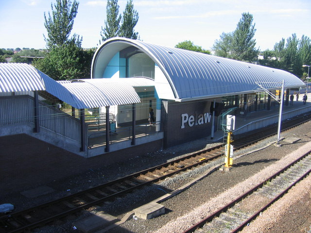
Pelaw Metro station
Pelaw is a Tyne and Wear Metro station, serving the suburbs of Bill Quay, Pelaw and Wardley, Gateshead in Tyne and Wear, England. It joined the network...
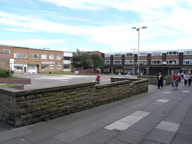
Leam Lane Estate
Leam Lane Estate is a housing estate in Gateshead, built in the 1950s and early 60's. Originally made up solely of council-built accommodation and housing...

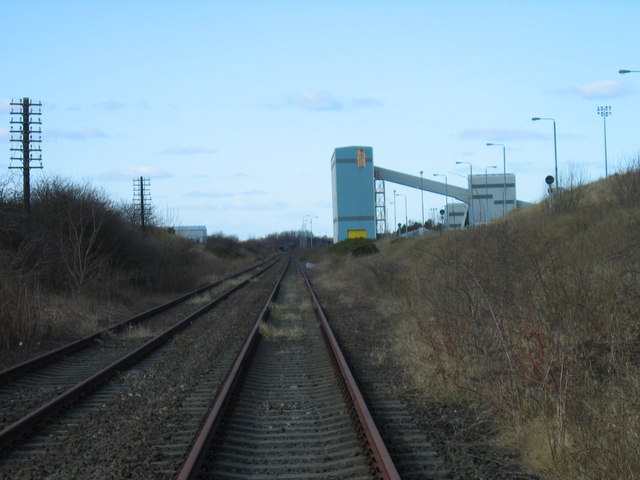
Monkton Coke Works
Monkton Coke Works was a coking plant near Hebburn, Tyne and Wear, England. == History == The works were constructed in 1936, as the government's response...
St Joseph's Catholic Academy
St Joseph's Catholic Academy (formerly St Joseph's RC Comprehensive School) is a coeducational Roman Catholic secondary school with academy status, located...
Nearby Amenities
Located within 500m of 54.947,-1.523Have you been to Wrakendike ?
Leave your review of Wrakendike below (or comments, questions and feedback).