Wraysholme Tower

Heritage Site in Lancashire

England

Wraysholme Tower

West side of Humphrey Head, looking inland
West side of Humphrey Head, looking inland Credit: Stephen Dawson

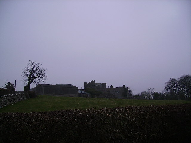
Wraysholme Tower is a historic structure located in Lancashire, England. This tower, also known as Wraysholme Peel, is a Grade I listed building and is recognized as a heritage site due to its architectural and historical significance.

The tower dates back to the 14th century and was initially constructed as a defensive structure, serving as a fortified manor house. It was built with thick stone walls and small windows, designed to withstand attacks and protect its inhabitants. Over the years, the tower has undergone several modifications and additions, resulting in the unique architectural blend of different time periods.

Wraysholme Tower is a three-story structure, featuring a rectangular plan with a tower at one corner. The tower is topped with a crenellated parapet, giving it a distinctive look and emphasizing its defensive nature. The interior of the tower has been restored and preserved, providing visitors with a glimpse into the past. The ground floor contains a kitchen and a pantry, while the upper floors house living quarters and bedrooms.

Today, Wraysholme Tower stands as a testament to Lancashire's medieval history and serves as a popular tourist attraction. It offers visitors the opportunity to explore its rich heritage, learn about its architectural evolution, and discover the daily lives of the people who once inhabited it. Its strategic location amidst picturesque countryside adds to its charm, making it a must-visit destination for history enthusiasts and architecture admirers.

If you have any feedback on the listing, please let us know in the comments section below.

Wraysholme Tower Images

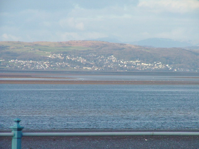
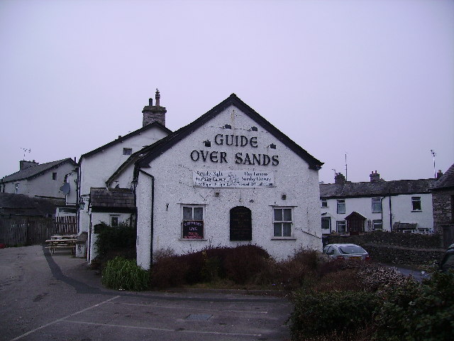
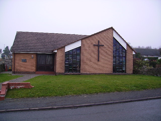
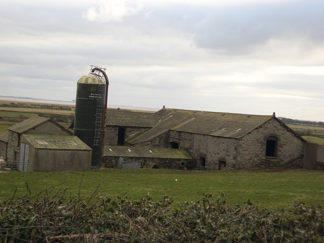
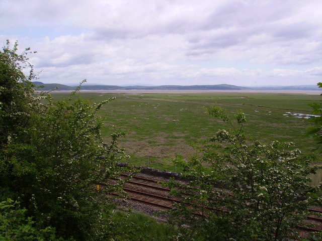
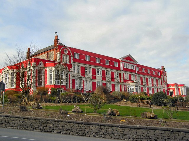
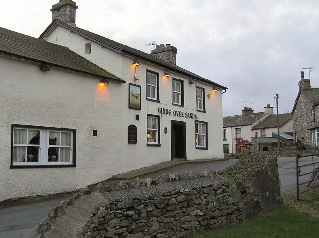
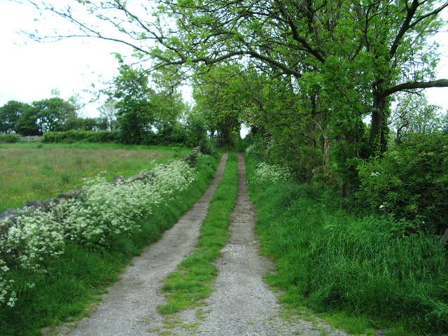
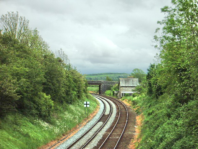
Images are sourced within 2km of 54.172/-2.942 or Grid Reference SD3875. Thanks to Geograph Open Source API. All images are credited.

West side of Humphrey Head, looking inland
Rougholme Point from Humphrey Head From Humphrey Head (approx. <a href="https://www.geograph.org.uk/gridref/SD390742">SD390742</a>) looking east. A path leads along the crest of Humphrey Head from north to south.
Rougholme Point from Humphrey Head
From Humphrey Head (approx. SD390742) looking east. A path leads along the crest of Humphrey Head from north to south.
Kents Bank, Cumbria Kents Bank and Hampsfield Fell across Morecambe Bay
Kents Bank, Cumbria
Kents Bank and Hampsfield Fell across Morecambe Bay
Guide Over Sands Allithwaite Perhaps not a good idea for a guide to visit the pub before crossing Morecambe Bay's notorious sands.
Guide Over Sands Allithwaite
Perhaps not a good idea for a guide to visit the pub before crossing Morecambe Bay's notorious sands.
Wrysholme Tower A farm near Kents Bank
Wrysholme Tower
A farm near Kents Bank
St. Cuthbert's Church, Flookburgh A relatively modern church.
St. Cuthbert's Church, Flookburgh
A relatively modern church.
Farm On the road between Allithwaite and Flookborough
Farm
On the road between Allithwaite and Flookborough
Morecambe Bay from Kents Bank Rail Line and foreshore with some tasty 'salt marsh lamb' just visible.
Morecambe Bay from Kents Bank
Rail Line and foreshore with some tasty 'salt marsh lamb' just visible.
Humphrey Head Humphrey Head is a limestone outcrop which juts into the sea at the entrance to the Kent estuary and is allegedly the place where the last wolf in England was killed in the 14th century. This shot is taken from north of the trig pillar looking inland towards the village of Allithwaite.
Humphrey Head
Humphrey Head is a limestone outcrop which juts into the sea at the entrance to the Kent estuary and is allegedly the place where the last wolf in England was killed in the 14th century. This shot is taken from north of the trig pillar looking inland towards the village of Allithwaite.
Miners' Convalescent Home Now serving as a nursing home. Still retaining its splendid form, gardens and colourful facade which can be seen from miles away across Morecambe Bay with binoculars. Its striking presence is noticed as you approach round the corner and up the hill on the B5277 Grange to Flookburgh road.
Miners' Convalescent Home
Now serving as a nursing home. Still retaining its splendid form, gardens and colourful facade which can be seen from miles away across Morecambe Bay with binoculars. Its striking presence is noticed as you approach round the corner and up the hill on the B5277 Grange to Flookburgh road.
Cark Airfield Home to the NW civilian parachute school. On a still day you can hear the cries of 'Geronimo' as the parachutists exit the plane. (Apparently the exhalation of breath when shouting at the top of your voice quells the fear of what lies ahead). It's all in the head anyway!
Cark Airfield
Home to the NW civilian parachute school. On a still day you can hear the cries of 'Geronimo' as the parachutists exit the plane. (Apparently the exhalation of breath when shouting at the top of your voice quells the fear of what lies ahead). It's all in the head anyway!
Guide Over Sands
Guide Over Sands
Footpath to Applebury Hill Farm
Lancaster to Barrow Railway Looking south east towards Grange-over-Sands
Lancaster to Barrow Railway
Looking south east towards Grange-over-Sands
New housing, Ella's Orchard
Humphrey Head Rams Sheltering from the sun on a hot July day.
Humphrey Head Rams
Sheltering from the sun on a hot July day.
Kents Bank railway station, on the Furness Line This railway station marks the end of the Morecambe Bay cross-bay walk from Arnside to Kents Bank. This dangerous crossing should only be undertaken when led by the Queen's Sand Pilot, Cedric Robinson; he has held this position for over forty years.
Kents Bank railway station, on the Furness Line
This railway station marks the end of the Morecambe Bay cross-bay walk from Arnside to Kents Bank. This dangerous crossing should only be undertaken when led by the Queen's Sand Pilot, Cedric Robinson; he has held this position for over forty years.
Crown Inn, Flookburgh
Show me another place!

Wraysholme Tower is located at Grid Ref: SD3875 (Lat: 54.172, Lng: -2.942)

What 3 Words

///snake.bulge.flip. Near Grange-over-Sands, Cumbria

Nearby Locations

Wraysholme Tower

Related Wikis

Wraysholme Halt railway station

Wraysholme Halt was a railway station on the Furness Railway in the Furness exclave of Lancashire. Situated between Cark and Cartmel and Kents Bank the...

Allithwaite

Allithwaite is a village in Cumbria, England, located roughly 1.2 miles (1.9 km) west of Grange-over-Sands. Within the boundaries of the historic county...

Lower Allithwaite

Lower Allithwaite is a civil parish in the South Lakeland district of the English county of Cumbria. It includes the villages of Allithwaite and Cartmel...
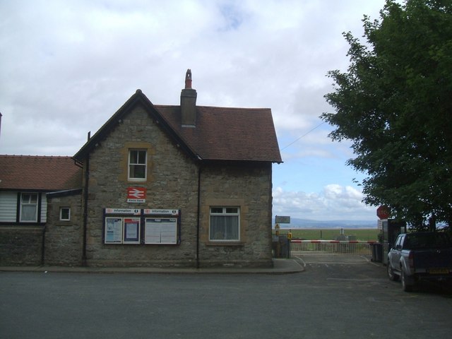
Kents Bank

Kents Bank is a small village in Cumbria, England, so named for its proximity to the River Kent estuary. Part of the historic County Palatine of Lancashire...

Nearby Amenities

Located within 500m of 54.172,-2.942
Controlled: no
Crossing Barrier: half
Gate: no
Railway: level_crossing
Lat/Long: 54.1700557/-2.9485362
Railway: level_crossing
Lat/Long: 54.1700289/-2.9485552
Barrier: stile
Bicycle: no
Foot: yes
Horse: no
Motor Vehicle: no
Lat/Long: 54.1749702/-2.9399667
Barrier: stile
Bicycle: no
Foot: yes
Horse: no
Motor Vehicle: no
Lat/Long: 54.1739871/-2.939095
Barrier: kissing_gate
Foot: yes
Lat/Long: 54.1729024/-2.9377688
Barrier: stile
Bicycle: no
Foot: yes
Horse: no
Motor Vehicle: no
Lat/Long: 54.1729341/-2.9379152
Barrier: stile
Bicycle: no
Foot: yes
Horse: no
Motor Vehicle: no
Lat/Long: 54.1690095/-2.9365014
Ice Cream
Wraysholme Creamery
Addr City: Flookburgh
Addr Housename: Wraysholme Tower Farm
Addr Postcode: LA11 7LZ
Addr Street: Wraysholme Lane
Phone: +44 7535427659
Website: https://www.wraysholmecreamery.co.uk/
Lat/Long: 54.1711278/-2.9463938
Power: pole
Lat/Long: 54.1695618/-2.9371508
Power: pole
Lat/Long: 54.1697746/-2.9385723
Power: pole
Lat/Long: 54.1701218/-2.9409595
Power: pole
Lat/Long: 54.1693594/-2.9396839
Power: pole
Lat/Long: 54.1686302/-2.9392369
Power: pole
Lat/Long: 54.1699911/-2.9400714
Power: pole
Lat/Long: 54.170183/-2.9424795
Power: pole
Lat/Long: 54.1702423/-2.9439517
Power: pole
Lat/Long: 54.170354/-2.9465236
Power: pole
Lat/Long: 54.1705703/-2.9481598
Power: pole
Lat/Long: 54.1702933/-2.9451261
The data included in this document is from www.openstreetmap.org. The data is made available under ODbL.

Have you been to Wraysholme Tower?

Leave your review of Wraysholme Tower below (or comments, questions and feedback).