Wardley, South
Settlement in Durham
England
Wardley, South
Wardley is a small village located in South Durham, England. Situated approximately 5 miles south of Gateshead, it falls within the metropolitan borough of Gateshead and the ceremonial county of Tyne and Wear. The village sits on the southern bank of the River Tyne, offering picturesque views of the surrounding countryside.
Historically, Wardley was a mining village, with coal mining being the primary industry in the area. However, like many other mining communities, it experienced a decline in the late 20th century due to the closure of local collieries. Today, the village has diversified its economy, with a mix of residential, commercial, and industrial areas.
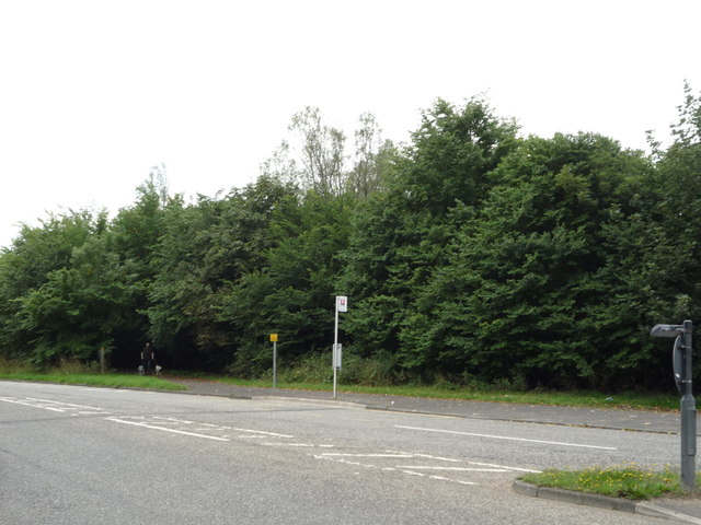
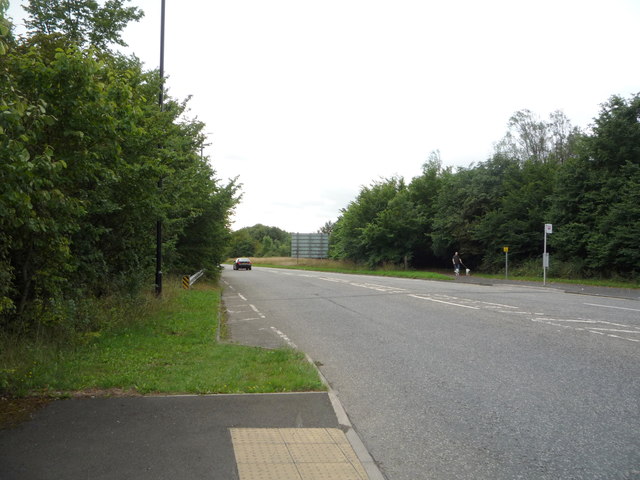
Wardley is well-connected to neighboring areas, with good transport links. The A184 road passes through the village, providing easy access to nearby towns and cities. There are also several bus routes that serve the area, connecting Wardley to Gateshead and Newcastle upon Tyne.
In terms of amenities, Wardley offers a range of facilities for its residents. These include a primary school, local shops, and a community center. The village is also surrounded by green spaces, such as Wardley Park, which provides recreational opportunities for residents and visitors.
Overall, Wardley is a small but vibrant village in South Durham, with a rich industrial heritage and a close-knit community.
If you have any feedback on the listing, please let us know in the comments section below.
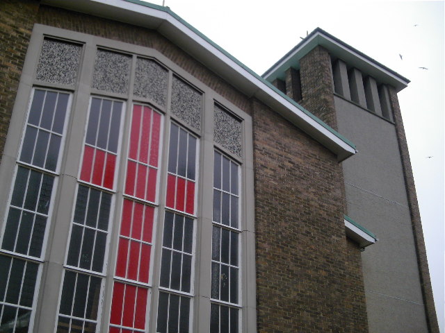
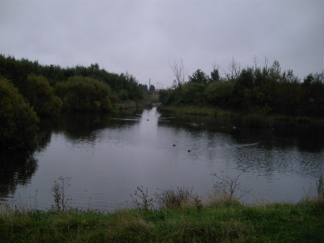
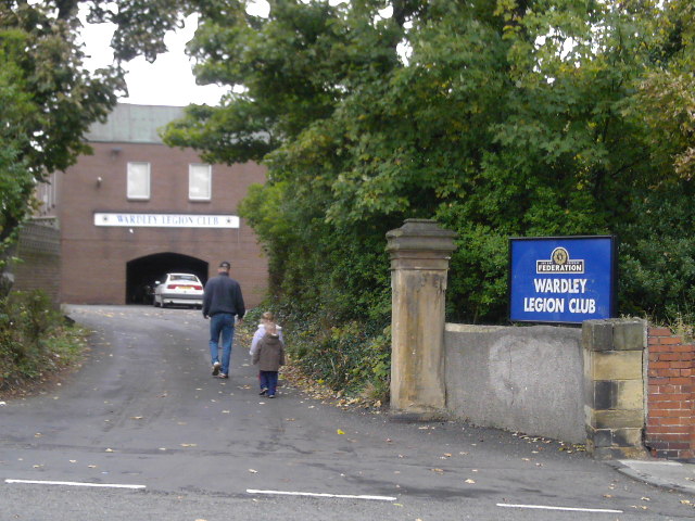
Wardley, South Images
Images are sourced within 2km of 54.949477/-1.520647 or Grid Reference NZ3061. Thanks to Geograph Open Source API. All images are credited.


Wardley, South is located at Grid Ref: NZ3061 (Lat: 54.949477, Lng: -1.520647)
Unitary Authority: Gateshead
Police Authority: Northumbria
What 3 Words
///sing.signified.frail. Near Hebburn, Tyne & Wear
Nearby Locations
Related Wikis

Bill Quay
Bill Quay is a residential area in Gateshead, located around 4 miles (6.4 km) from Newcastle upon Tyne, 12 miles (19 km) from Sunderland, and 17 miles...
Wardley, Gateshead
Wardley is a residential area in Gateshead, located around 4 miles (6.4 km) from Newcastle upon Tyne, 10 miles (16 km) from Sunderland, and 15 miles (24...
Springwell railway station
Springwell railway station served Springwell Village, Tyne and Wear, England, from 1844 to 1871 on the Durham Coast Line. == History == The station opened...

Monkton Coke Works
Monkton Coke Works was a coking plant near Hebburn, Tyne and Wear, England. == History == The works were constructed in 1936, as the government's response...
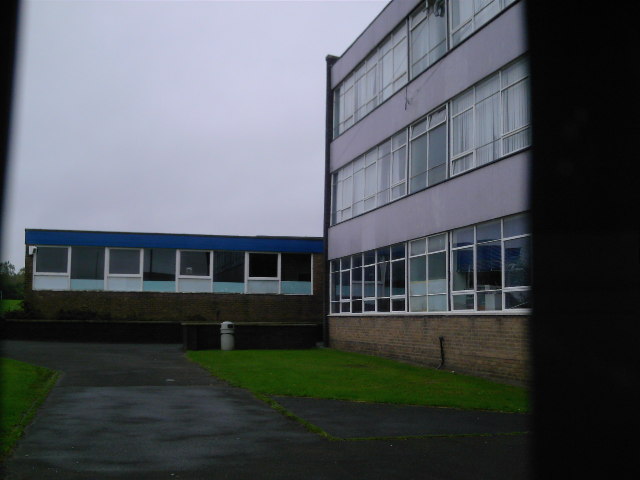
St Joseph's Catholic Academy
St Joseph's Catholic Academy (formerly St Joseph's RC Comprehensive School) is a coeducational Roman Catholic secondary school with academy status, located...
Pelaw
Pelaw () is a residential area in Gateshead, located around 3.5 miles (5.6 km) from Newcastle upon Tyne, 11 miles (18 km) from Sunderland, and 17 miles...

A194 road
The A194 road is a road in Tyne and Wear, England. It runs northeast from its start at junction 65 of the A1(M) near Washington, and the first 3 miles...
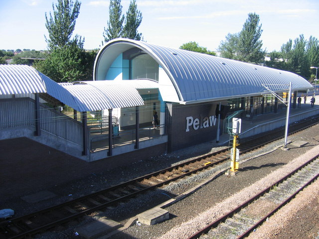
Pelaw Metro station
Pelaw is a Tyne and Wear Metro station, serving the suburbs of Bill Quay, Pelaw and Wardley, Gateshead in Tyne and Wear, England. It joined the network...
Nearby Amenities
Located within 500m of 54.949477,-1.520647Have you been to Wardley, South?
Leave your review of Wardley, South below (or comments, questions and feedback).