Mill Hill
Settlement in Sussex Wealdon
England
Mill Hill
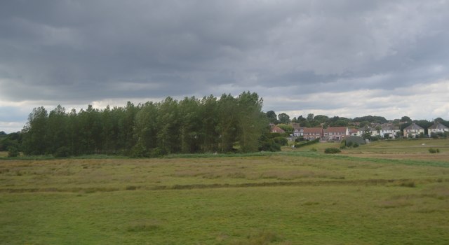
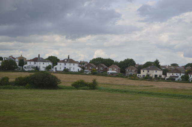
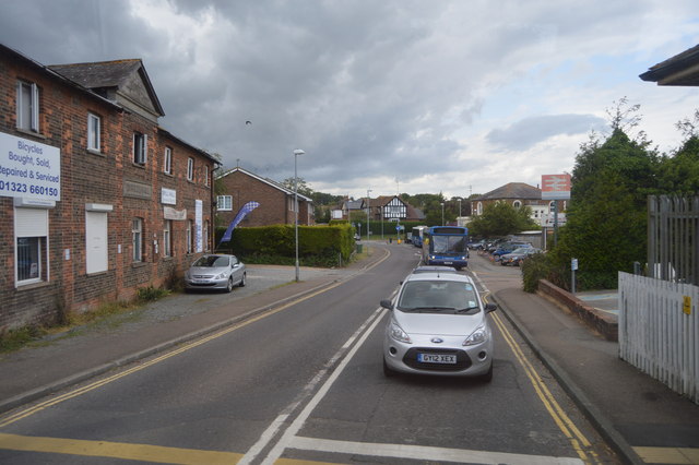
Mill Hill is a charming village located in the county of Sussex, England. Situated on the outskirts of the larger town of Crowborough, it offers a peaceful and picturesque setting for its residents. The village is nestled amidst rolling hills and lush greenery, providing breathtaking views of the surrounding countryside.
Mill Hill is known for its close-knit community and friendly atmosphere, making it an ideal place for families and individuals seeking a quiet and safe environment. The village is primarily residential, with a mix of traditional cottages and modern houses, giving it a unique blend of old-world charm and contemporary living.
Although small in size, Mill Hill offers a range of amenities to cater to the needs of its residents. There is a local primary school, ensuring quality education for the younger population. The village also boasts a cozy pub, where locals can gather for a drink and socialize. Additionally, there are a few small shops and businesses catering to daily needs, along with a post office and a village hall that hosts various community events.
Nature lovers will find themselves in paradise in Mill Hill. The village is surrounded by beautiful countryside, offering plenty of opportunities for outdoor activities such as hiking, cycling, and horseback riding. The nearby Ashdown Forest, a designated Area of Outstanding Natural Beauty, provides a stunning backdrop for leisurely walks and picnics.
Overall, Mill Hill is a delightful village that combines a tranquil setting with a strong sense of community. Its idyllic location and range of amenities make it an appealing place to call home for those seeking a peaceful and picturesque lifestyle.
If you have any feedback on the listing, please let us know in the comments section below.
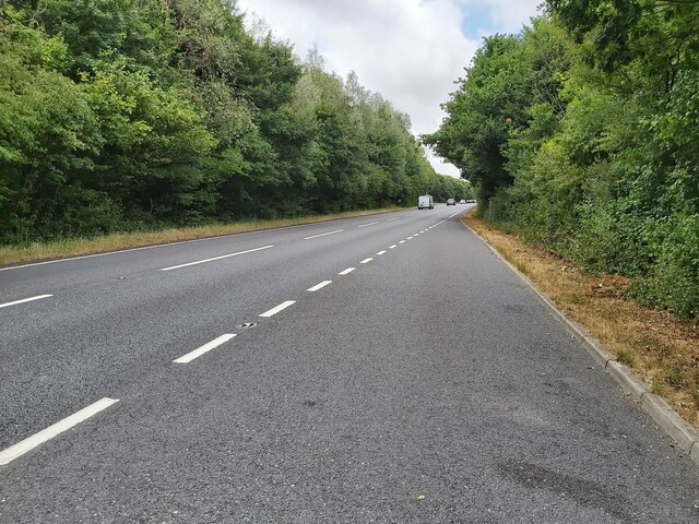
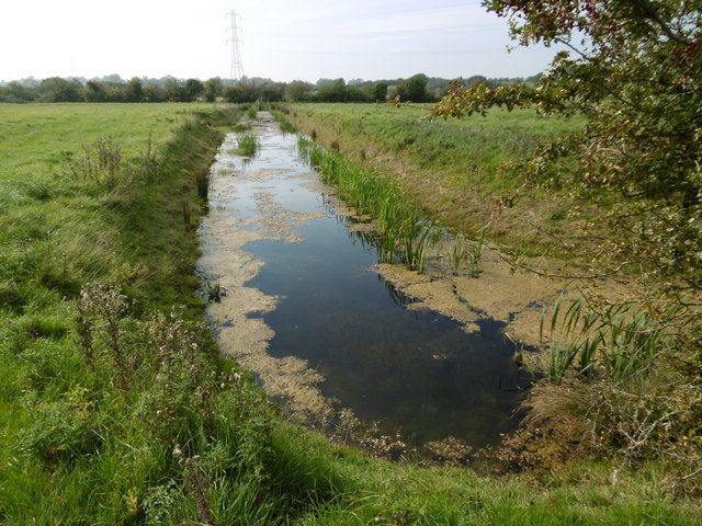
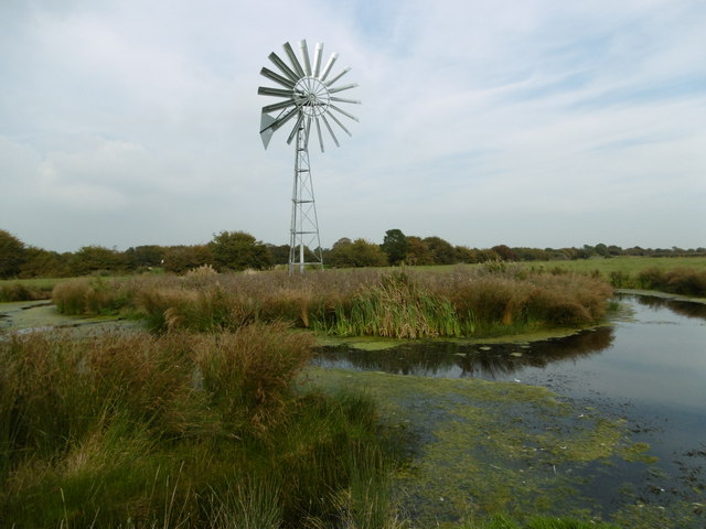
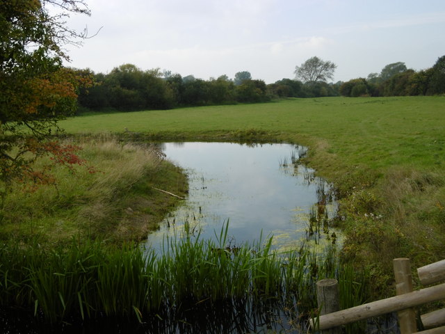
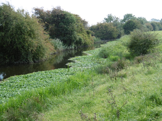
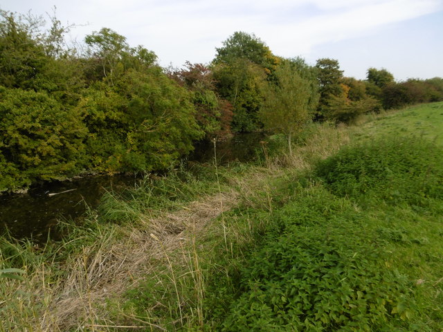
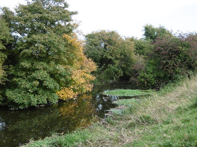
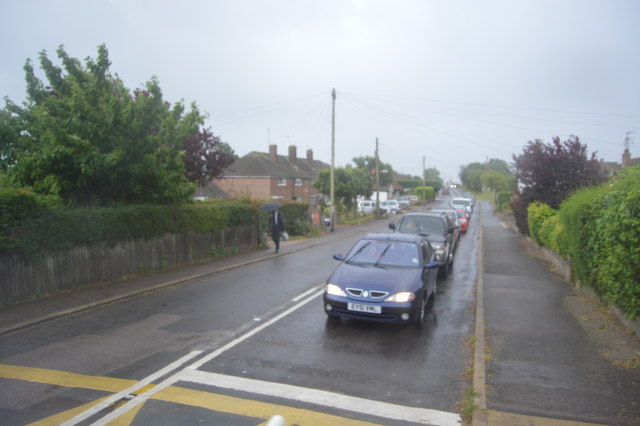
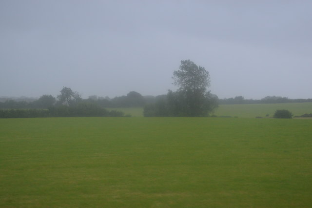
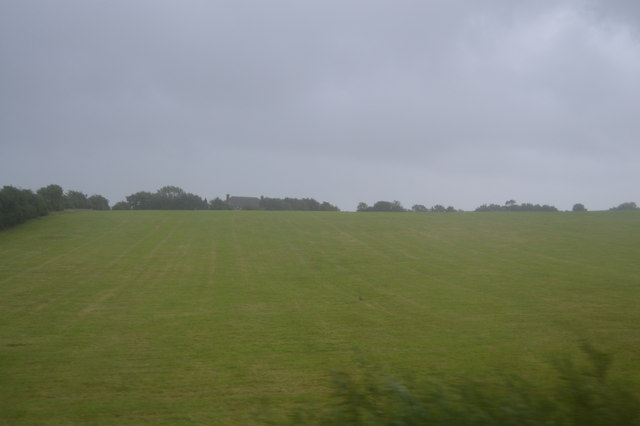
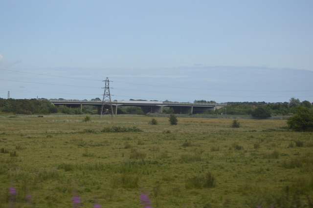
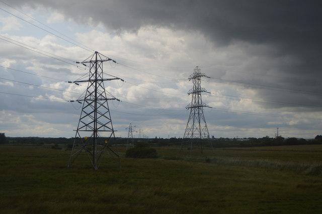
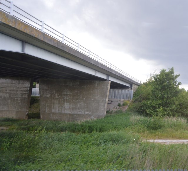
Mill Hill Images
Images are sourced within 2km of 50.821884/0.2985864 or Grid Reference TQ6205. Thanks to Geograph Open Source API. All images are credited.
Mill Hill is located at Grid Ref: TQ6205 (Lat: 50.821884, Lng: 0.2985864)
Administrative County: East Sussex
District: Wealdon
Police Authority: Sussex
What 3 Words
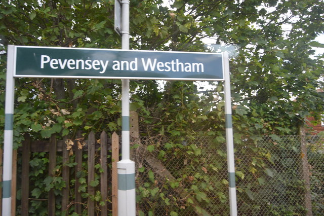
///monday.shot.belt. Near Pevensey, East Sussex
Nearby Locations
Related Wikis
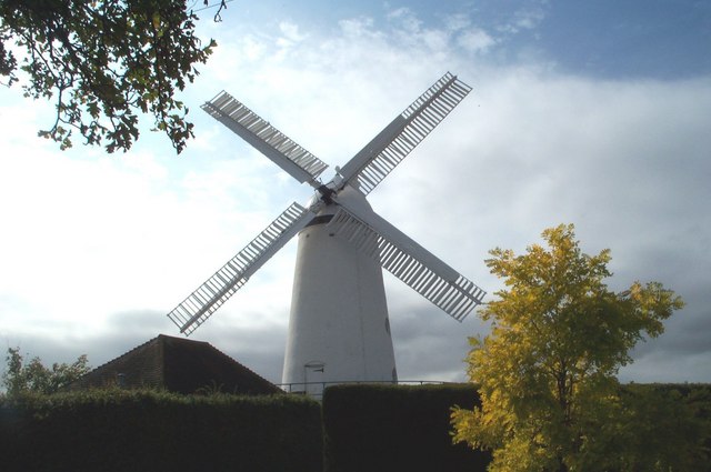
Stone Cross Windmill
Stone Cross Windmill is a grade II* listed tower mill at Stone Cross, East Sussex, England which has been restored and is open to the public. The mill...

Stone Cross Halt railway station
Stone Cross Halt railway station served Stone Cross, in the district of Wealden, East Sussex, England from 1905 to 1935 on the East Coastway Line. ��2...
Westham
Westham is a large village and civil parish in the Wealden District of East Sussex, England. The village is adjacent to Pevensey five miles (8 km) north...
The Turing School
The Turing School is a coeducational secondary school located within the Shinewater/Langney areas of Eastbourne, East Sussex, England. It was previously...
Nearby Amenities
Located within 500m of 50.821884,0.2985864Have you been to Mill Hill?
Leave your review of Mill Hill below (or comments, questions and feedback).