Jenkins' Green
Downs, Moorland in Sussex Wealden
England
Jenkins' Green
Jenkins' Green is a picturesque village located in the heart of Sussex, England. Nestled amidst the serene and breathtaking landscape of the South Downs, this small village offers a charming and idyllic setting for residents and visitors alike.
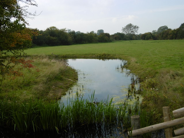
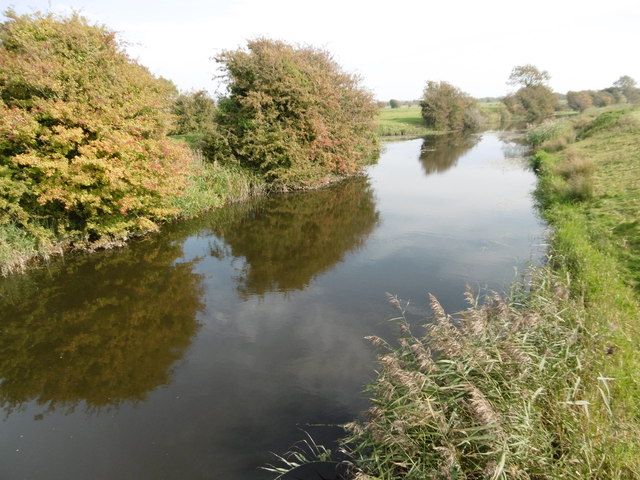
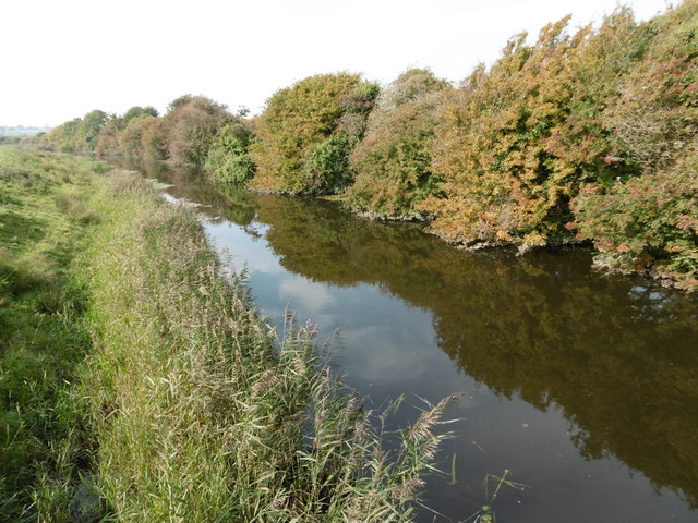
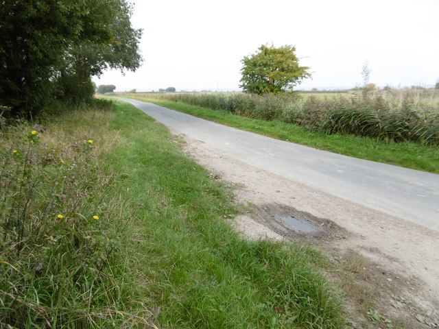
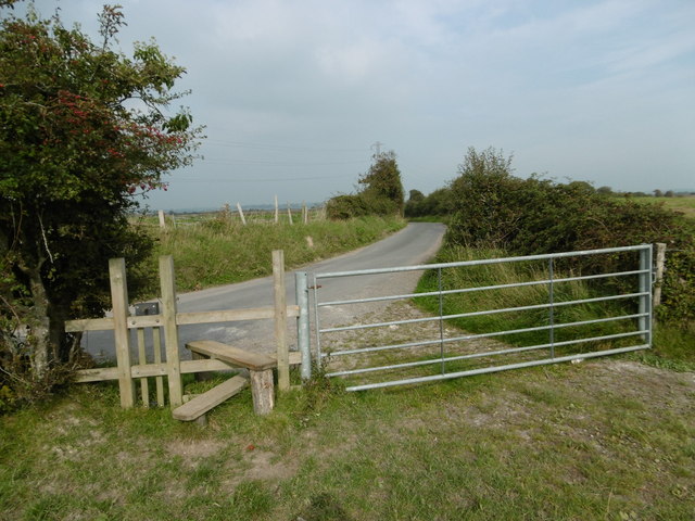
Surrounded by lush greenery and rolling hills, Jenkins' Green is renowned for its stunning vistas of the Sussex Downs. The Downs, with their undulating terrain and expansive meadows, provide an ideal backdrop for outdoor enthusiasts and nature lovers. Hiking and cycling trails crisscross the area, allowing visitors to explore the stunning countryside at their leisure.
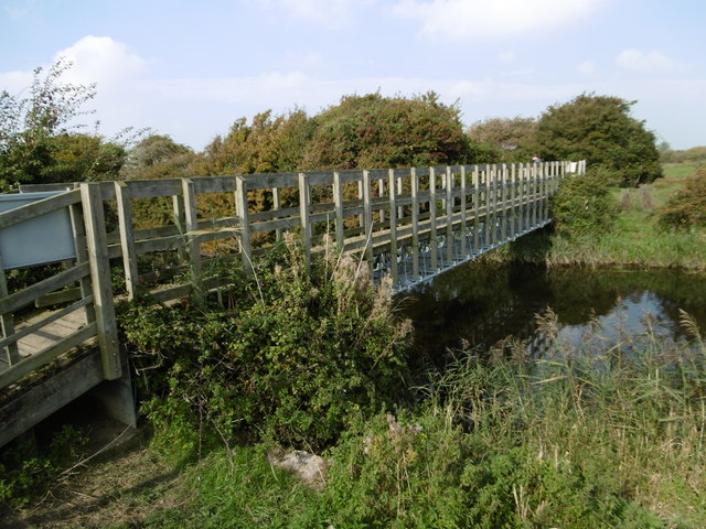
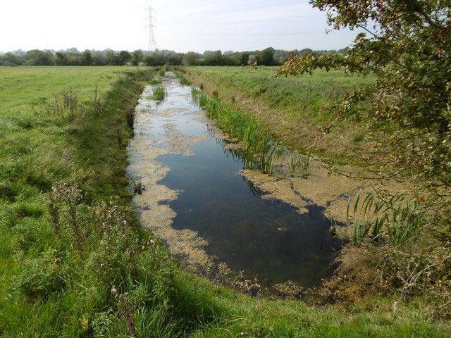
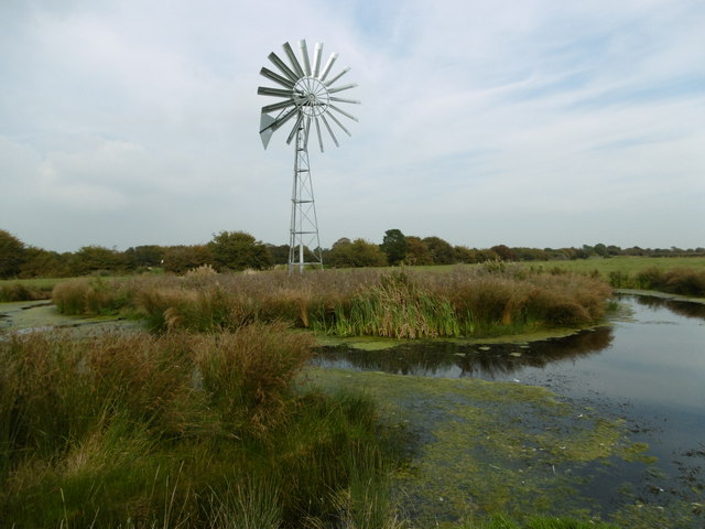
In addition to the Downs, Jenkins' Green also boasts a unique moorland area. Home to a variety of rare and protected species, the moorland offers an opportunity for wildlife enthusiasts to spot birds, reptiles, and other native creatures in their natural habitat. The moorland is carefully preserved and protected, ensuring the conservation of this valuable ecosystem.
The village itself exudes a quaint and traditional charm, with its historic cottages, thatched roofs, and charming village green. The community is close-knit and welcoming, with a strong sense of community spirit evident in the various local events and gatherings throughout the year.
For those seeking a peaceful and tranquil escape from the bustling city life, Jenkins' Green is the perfect destination. Its natural beauty, combined with its friendly and welcoming community, make it a truly special place to visit or call home.
If you have any feedback on the listing, please let us know in the comments section below.
Jenkins' Green Images
Images are sourced within 2km of 50.826484/0.30433621 or Grid Reference TQ6205. Thanks to Geograph Open Source API. All images are credited.
![Westham houses [6] Tudor Court, High Street was built in the 17th century or, possibly, earlier. Timber framed, restored and refronted with stucco on ground floor and tile-hung above under a hipped tile roof. The extension on the right is 20th century. Listed, grade II, with details at: <span class="nowrap"><a title="https://historicengland.org.uk/listing/the-list/list-entry/1028494" rel="nofollow ugc noopener" href="https://historicengland.org.uk/listing/the-list/list-entry/1028494">Link</a><img style="margin-left:2px;" alt="External link" title="External link - shift click to open in new window" src="https://s1.geograph.org.uk/img/external.png" width="10" height="10"/></span>
The village of Westham is adjacent to the village of Pevensey some five miles (8 km) northeast of Eastbourne. The village is located on a spur of land that was a peninsula that projected into a tidal lagoon, now reclaimed marshland. The village is part of the Greater Eastbourne conurbation, and much recent expansion has taken place. Today it is a commuter village.](https://s3.geograph.org.uk/geophotos/07/21/63/7216319_761ba778.jpg)
![Westham houses [7] Old Oak House, number 84 High Street, was built in the 15th century. Timber framed, close-studded with plaster infill, jettied to the street, all under a hipped tile roof. Two first floor windows have original wooden mullions. The gable walls are tile-hung. Listed, grade II*, with details at: <span class="nowrap"><a title="https://historicengland.org.uk/listing/the-list/list-entry/1184666" rel="nofollow ugc noopener" href="https://historicengland.org.uk/listing/the-list/list-entry/1184666">Link</a><img style="margin-left:2px;" alt="External link" title="External link - shift click to open in new window" src="https://s1.geograph.org.uk/img/external.png" width="10" height="10"/></span>
The village of Westham is adjacent to the village of Pevensey some five miles (8 km) northeast of Eastbourne. The village is located on a spur of land that was a peninsula that projected into a tidal lagoon, now reclaimed marshland. The village is part of the Greater Eastbourne conurbation, and much recent expansion has taken place. Today it is a commuter village.](https://s1.geograph.org.uk/geophotos/07/21/63/7216337_0b0f885c.jpg)
![Westham houses [8] The Dial House, number 82 High Street, is a restored 15th century house. The first floor is timber framed, close-studded with cement infill. Originally jettied to the street but the ground floor has been underbuilt and refaced with cement. All under a hipped tile roof. There is one original oriel window on the first floor. Listed, grade II*, with details at: <span class="nowrap"><a title="https://historicengland.org.uk/listing/the-list/list-entry/1028496" rel="nofollow ugc noopener" href="https://historicengland.org.uk/listing/the-list/list-entry/1028496">Link</a><img style="margin-left:2px;" alt="External link" title="External link - shift click to open in new window" src="https://s1.geograph.org.uk/img/external.png" width="10" height="10"/></span>
The village of Westham is adjacent to the village of Pevensey some five miles (8 km) northeast of Eastbourne. The village is located on a spur of land that was a peninsula that projected into a tidal lagoon, now reclaimed marshland. The village is part of the Greater Eastbourne conurbation, and much recent expansion has taken place. Today it is a commuter village.](https://s3.geograph.org.uk/geophotos/07/21/63/7216391_d7fcced6.jpg)
![Westham buildings [1] Numbers 76 and 76A High Street and Old George House, number 78 High Street (nearer the camera) were built in the 17th century or possibly earlier. The building has been refronted with stucco and imitation timber framing above. All under a tile roof. Listed, grade II, with details at: <span class="nowrap"><a title="https://historicengland.org.uk/listing/the-list/list-entry/1353470" rel="nofollow ugc noopener" href="https://historicengland.org.uk/listing/the-list/list-entry/1353470">Link</a><img style="margin-left:2px;" alt="External link" title="External link - shift click to open in new window" src="https://s1.geograph.org.uk/img/external.png" width="10" height="10"/></span>
The village of Westham is adjacent to the village of Pevensey some five miles (8 km) northeast of Eastbourne. The village is located on a spur of land that was a peninsula that projected into a tidal lagoon, now reclaimed marshland. The village is part of the Greater Eastbourne conurbation, and much recent expansion has taken place. Today it is a commuter village.](https://s3.geograph.org.uk/geophotos/07/21/64/7216403_c9cd2bd0.jpg)
![Westham houses [9] Preston Cottage, number 74 High Street, was built in the early 19th century. Constructed of cobbles with brick dressings and quoins, now all painted, under a tile. Listed, grade II, with details at: <span class="nowrap"><a title="https://historicengland.org.uk/listing/the-list/list-entry/1028495" rel="nofollow ugc noopener" href="https://historicengland.org.uk/listing/the-list/list-entry/1028495">Link</a><img style="margin-left:2px;" alt="External link" title="External link - shift click to open in new window" src="https://s1.geograph.org.uk/img/external.png" width="10" height="10"/></span>
The village of Westham is adjacent to the village of Pevensey some five miles (8 km) northeast of Eastbourne. The village is located on a spur of land that was a peninsula that projected into a tidal lagoon, now reclaimed marshland. The village is part of the Greater Eastbourne conurbation, and much recent expansion has taken place. Today it is a commuter village.](https://s1.geograph.org.uk/geophotos/07/21/64/7216409_14ea94ae.jpg)
![Westham buildings [2] This range, number 33 High Street, was built in the 18th century. Constructed of stuccoed brick under a hipped tile roof. The nearer ground floor section, now used as offices, was formerly the Midland Bank. Listed, grade II, with details at: <span class="nowrap"><a title="https://historicengland.org.uk/listing/the-list/list-entry/1028493" rel="nofollow ugc noopener" href="https://historicengland.org.uk/listing/the-list/list-entry/1028493">Link</a><img style="margin-left:2px;" alt="External link" title="External link - shift click to open in new window" src="https://s1.geograph.org.uk/img/external.png" width="10" height="10"/></span>
The village of Westham is adjacent to the village of Pevensey some five miles (8 km) northeast of Eastbourne. The village is located on a spur of land that was a peninsula that projected into a tidal lagoon, now reclaimed marshland. The village is part of the Greater Eastbourne conurbation, and much recent expansion has taken place. Today it is a commuter village.](https://s2.geograph.org.uk/geophotos/07/21/64/7216414_e9370158.jpg)
Jenkins' Green is located at Grid Ref: TQ6205 (Lat: 50.826484, Lng: 0.30433621)
Administrative County: East Sussex
District: Wealden
Police Authority: Sussex
What 3 Words
///truck.hosts.fingernails. Near Pevensey, East Sussex
Nearby Locations
Related Wikis
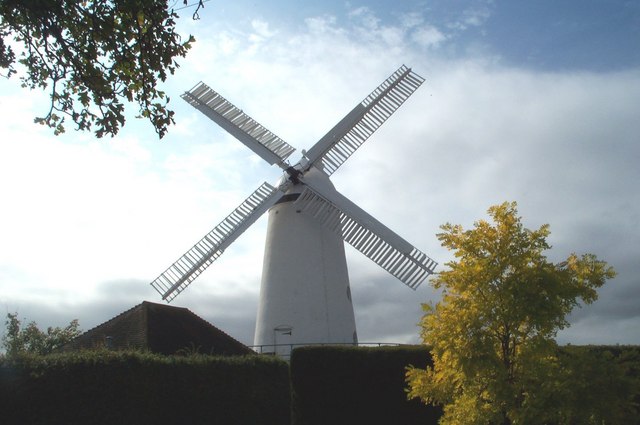
Stone Cross Windmill
Stone Cross Windmill is a grade II* listed tower mill at Stone Cross, East Sussex, England which has been restored and is open to the public. The mill...
Westham
Westham is a large village and civil parish in the Wealden District of East Sussex, England. The village is adjacent to Pevensey five miles (8 km) north...

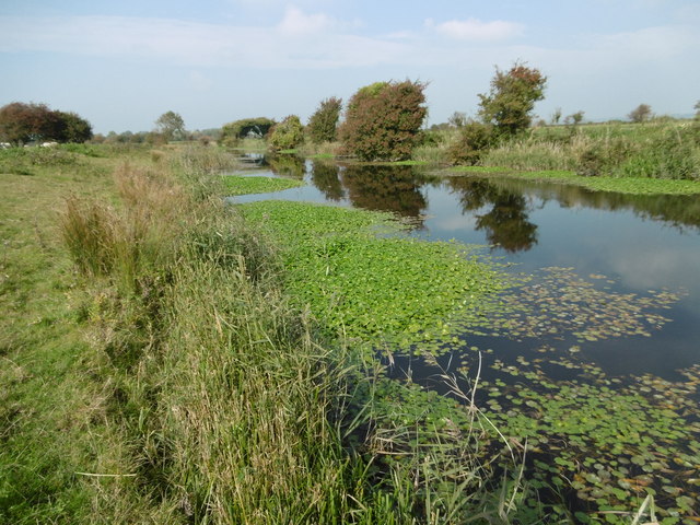
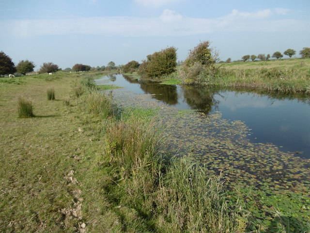
Glynleigh Sewer
Glynleigh Sewer is a river in Hailsham, Wealden District, East Sussex, England. Located partly in the Pevensey Levels, Glynleigh Sewer joins Hurst Haven...

Hurst Haven
Hurst Haven is a 10.2-kilometre (6.3 mi) long river in Hailsham, Wealden District, East Sussex, England. Located partly in the Pevensey Levels, Hurst Haven...
Nearby Amenities
Located within 500m of 50.826484,0.30433621Have you been to Jenkins' Green?
Leave your review of Jenkins' Green below (or comments, questions and feedback).