Montague Wood
Wood, Forest in Sussex Wealden
England
Montague Wood

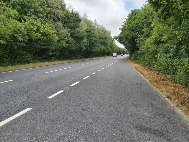
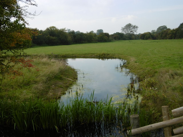
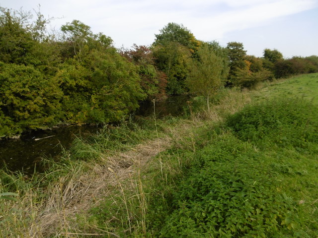
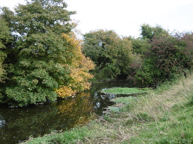
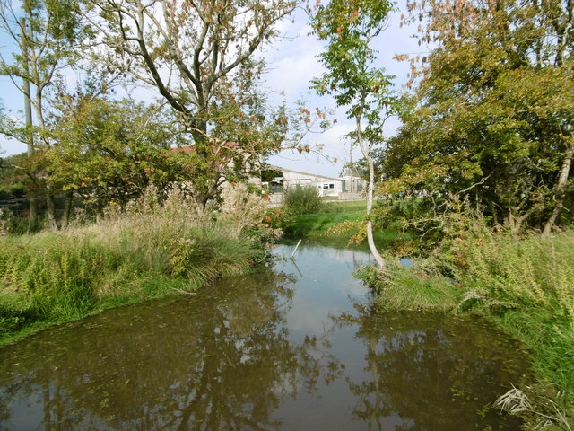
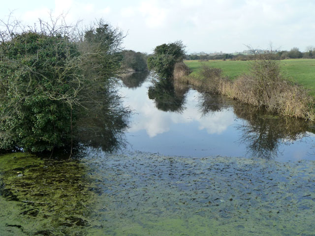
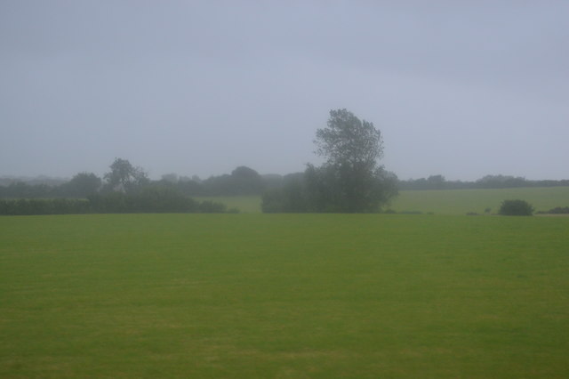
Montague Wood is a picturesque forest located in Sussex, England. Covering an area of approximately 500 acres, it provides a tranquil and serene escape for nature enthusiasts and outdoor lovers alike. The woodland is predominantly made up of oak and beech trees, creating a dense and lush canopy that offers shade and shelter to a diverse range of flora and fauna.
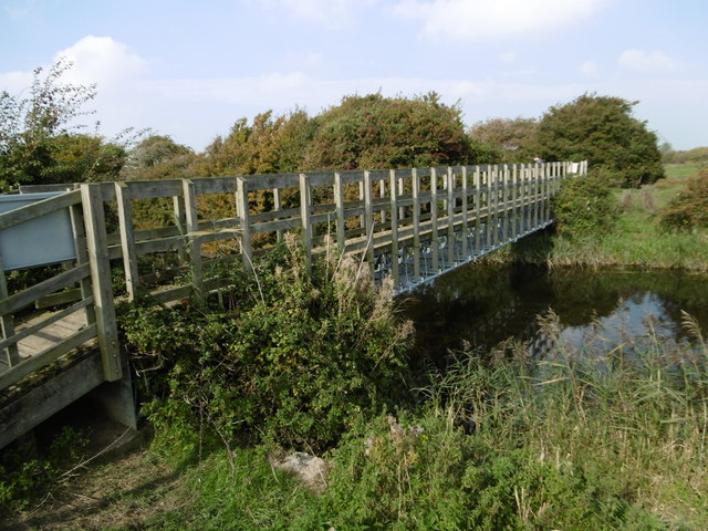
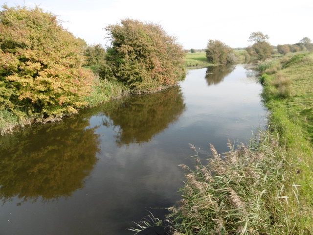
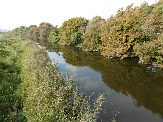
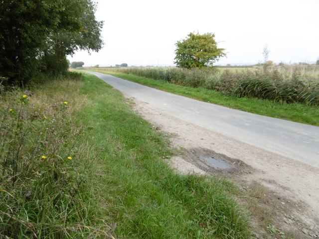
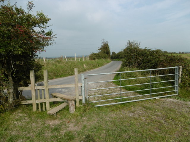
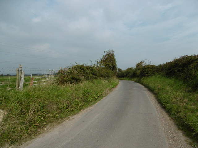
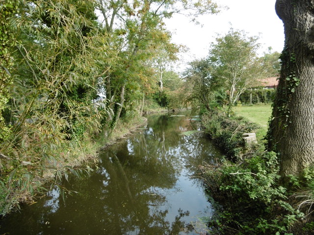
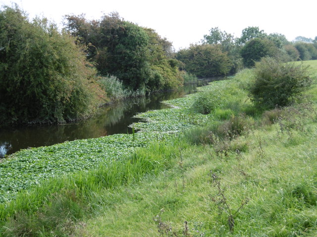
The forest boasts an extensive network of trails and footpaths, allowing visitors to explore its beauty at their own pace. These trails wind through the woodland, leading to hidden clearings, babbling brooks, and enchanting meadows. Along the way, hikers may encounter various wildlife species such as deer, foxes, and a variety of bird species.
Montague Wood is not only a haven for nature lovers but also a popular destination for photographers and artists. The changing seasons transform the forest into a kaleidoscope of colors, with vibrant hues of green in spring and summer, and a breathtaking display of reds, oranges, and yellows in the autumn months.
Visitors to Montague Wood can also enjoy a range of recreational activities such as picnicking, birdwatching, and even camping in designated areas. The forest is well-maintained, with proper facilities and signage to ensure a safe and enjoyable experience for all.
Overall, Montague Wood is a natural gem nestled in the heart of Sussex, offering a peaceful retreat from the hustle and bustle of everyday life.
If you have any feedback on the listing, please let us know in the comments section below.
Montague Wood Images
Images are sourced within 2km of 50.828775/0.30126805 or Grid Reference TQ6205. Thanks to Geograph Open Source API. All images are credited.
Montague Wood is located at Grid Ref: TQ6205 (Lat: 50.828775, Lng: 0.30126805)
Administrative County: East Sussex
District: Wealden
Police Authority: Sussex
What 3 Words
///verse.shapes.stop. Near Pevensey, East Sussex
Nearby Locations
Related Wikis

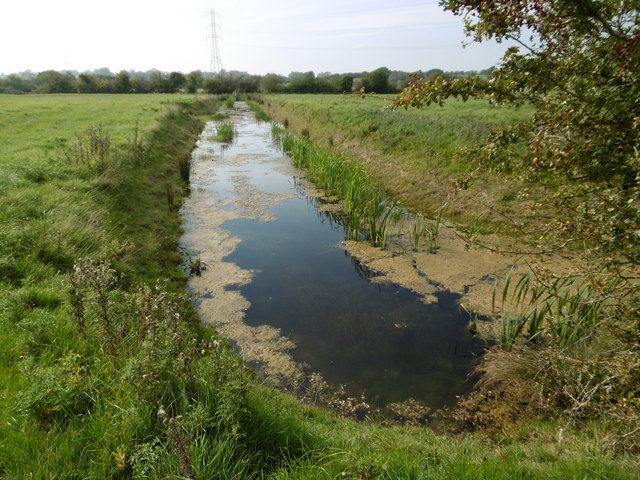
Drockmill Hill Gut
Drockmill Hill Gut is a 3.1-kilometre (1.9 mi) long river in the Wealden District of East Sussex, England, that is a tributary to Glynleigh Sewer. It is...

Glynleigh Sewer
Glynleigh Sewer is a river in Hailsham, Wealden District, East Sussex, England. Located partly in the Pevensey Levels, Glynleigh Sewer joins Hurst Haven...

Hurst Haven
Hurst Haven is a 10.2-kilometre (6.3 mi) long river in Hailsham, Wealden District, East Sussex, England. Located partly in the Pevensey Levels, Hurst Haven...

Down Sewer
Down Sewer is a 1.3-kilometre (0.81 mi) long river in the Wealden District of East Sussex, England, that is a tributary to Hurst Haven. Located in the...
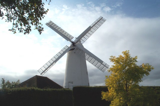
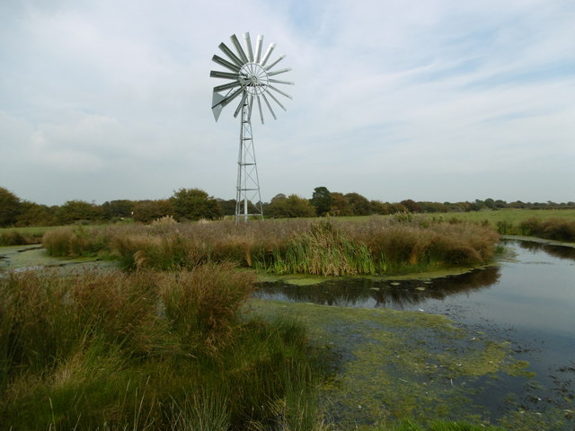
Stone Cross Windmill
Stone Cross Windmill is a grade II* listed tower mill at Stone Cross, East Sussex, England which has been restored and is open to the public. The mill...
Westham
Westham is a large village and civil parish in the Wealden District of East Sussex, England. The village is adjacent to Pevensey five miles (8 km) north...

Chilley Stream
Chilley Stream is a minor, 3.41-kilometre (2.12 mi) long stream (brook) of the Pevensey Levels in Hailsham, in the Wealden District of East Sussex, England...

Stone Cross Halt railway station
Stone Cross Halt railway station served Stone Cross, in the district of Wealden, East Sussex, England from 1905 to 1935 on the East Coastway Line. ��2...
Nearby Amenities
Located within 500m of 50.828775,0.30126805Have you been to Montague Wood?
Leave your review of Montague Wood below (or comments, questions and feedback).