Four Pit Plantation
Wood, Forest in Norfolk King's Lynn and West Norfolk
England
Four Pit Plantation
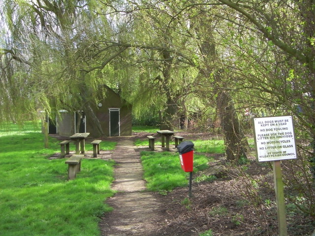
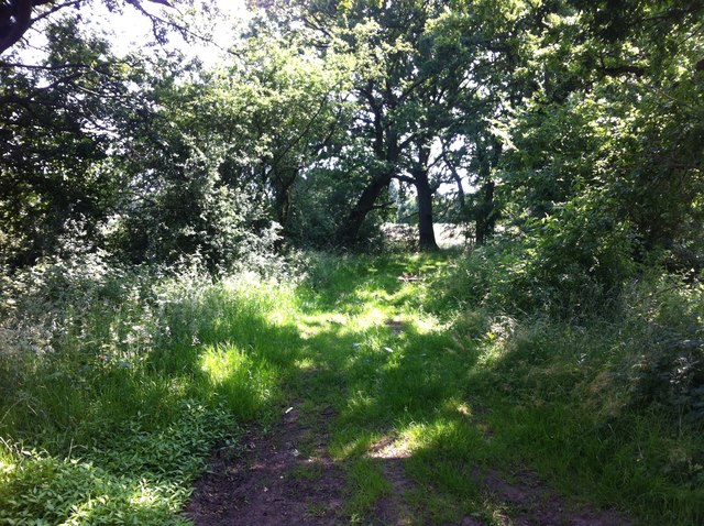
Four Pit Plantation is a woodland located in the county of Norfolk, England. Spanning over an area of approximately 50 hectares, it is situated near the village of Wood and is part of the larger Forest of Norfolk. The plantation is well-known for its diverse collection of trees, making it a popular destination for nature enthusiasts and hikers.
The woodland is predominantly composed of native broadleaf trees, including oak, beech, birch, and sycamore. These trees provide a rich and diverse habitat for various species of birds, insects, and small mammals. The plantation also boasts a network of well-maintained footpaths and trails, making it an ideal location for leisurely walks and exploration.
Four Pit Plantation is named after the four quarry pits that were once active in the area. These pits were used for extracting gravel and sand, but have since been filled and reclaimed by nature, blending seamlessly with the surrounding woodland. As a result, the plantation now features several small ponds and wetland areas, which further enhance its ecological value.
Visitors to Four Pit Plantation can enjoy the tranquil atmosphere and scenic beauty of the woodland, as well as the opportunity to observe and appreciate the diverse flora and fauna that thrive within its boundaries. The site is managed by the local forestry authority, ensuring the preservation and conservation of this natural treasure for future generations to enjoy.
If you have any feedback on the listing, please let us know in the comments section below.
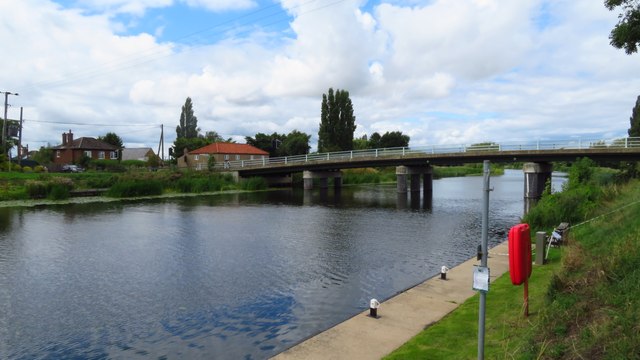
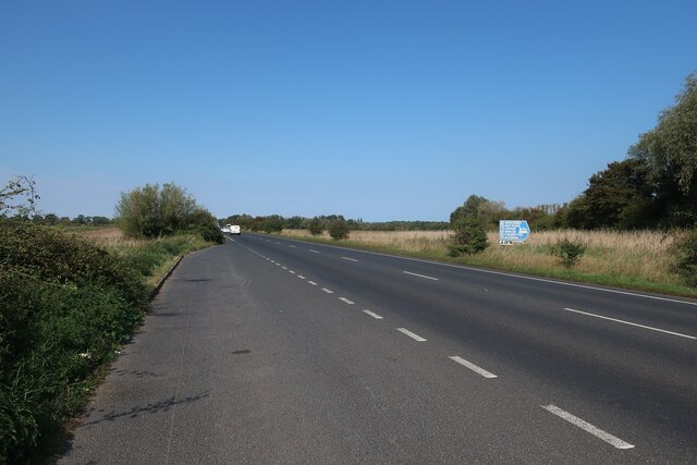
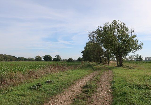
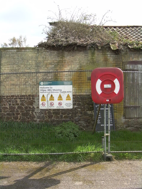
Four Pit Plantation Images
Images are sourced within 2km of 52.546806/0.39010591 or Grid Reference TL6297. Thanks to Geograph Open Source API. All images are credited.


Four Pit Plantation is located at Grid Ref: TL6297 (Lat: 52.546806, Lng: 0.39010591)
Administrative County: Norfolk
District: King's Lynn and West Norfolk
Police Authority: Norfolk
What 3 Words
///haven.chucked.else. Near Southery, Norfolk
Nearby Locations
Related Wikis

Hilgay
Hilgay is a village and civil parish in Norfolk, England, 4 miles (6.4 km) from Downham Market. It covers an area of 33.38 km2 (12.89 sq mi) and had a...

Modeney Priory
Modeney Priory—also spelled Modney and Modeny—was a Benedictine priory in the civil parish of Hilgay, Norfolk, England. Located less than a mile east of...

1974 Norfolk mid-air collision
The 1974 Norfolk mid-air collision happened on 9 August 1974 at Fordham Fen, Norfolk, England when a Royal Air Force McDonnell-Douglas F-4M Phantom FGR...

Southery
Southery is a village and civil parish in Norfolk, England, which covers an area of 18.12 km2 (7.00 sq mi) and had a population of 1,324 at the 2011 Census...

Hilgay Heronry
Hilgay Heronry is a 1.8-hectare (4.4-acre) biological Site of Special Scientific Interest south of Downham Market in Norfolk.This small wood has a nationally...

St Mary's Church, Fordham
St Mary's Church is located to the south of the village of Fordham, Norfolk, England. It is a redundant Anglican parish church in the care of the Friends...
Fordham, Norfolk
Fordham is a small village and civil parish in the English county of Norfolk. The village is located 2.2 miles (3.5 km) north of Downham Market and 39...
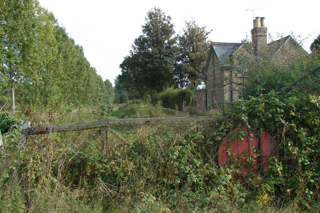
Ryston railway station
Ryston railway station was a railway station serving Fordham, Norfolk. It was on a branch line from Denver. == History == The Downham and Stoke Ferry Railway...
Nearby Amenities
Located within 500m of 52.546806,0.39010591Have you been to Four Pit Plantation?
Leave your review of Four Pit Plantation below (or comments, questions and feedback).