Mill Hill

Settlement in Middlesex

England

Mill Hill

Subway on Watford Way, Hendon
Subway on Watford Way, Hendon Credit: David Howard

Mill Hill is a suburban area located in the borough of Barnet in Middlesex, England. Situated approximately 9 miles northwest of central London, it is known for its picturesque landscapes, historic landmarks, and vibrant community.

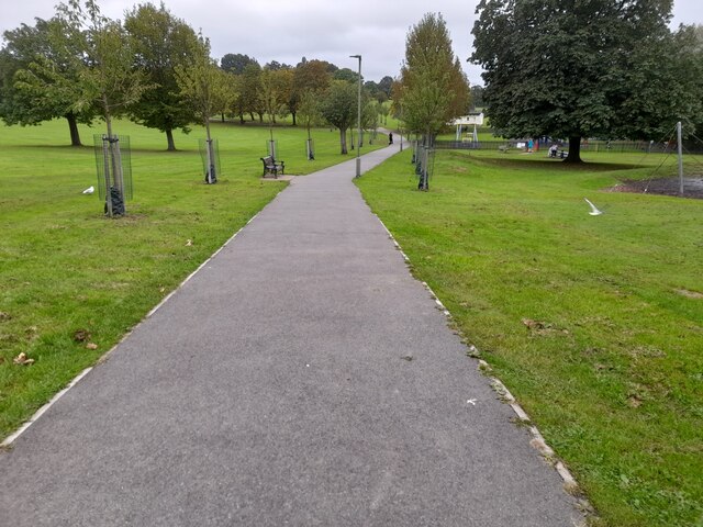
The area is primarily residential, characterized by a mix of elegant detached houses, terraced cottages, and modern apartment complexes. Mill Hill's housing market appeals to a diverse range of residents, including families, professionals, and retirees. The area offers a peaceful and tranquil environment, with several green spaces and parks, such as Mill Hill Park and Arrandene Open Space, providing opportunities for outdoor activities and leisurely walks.

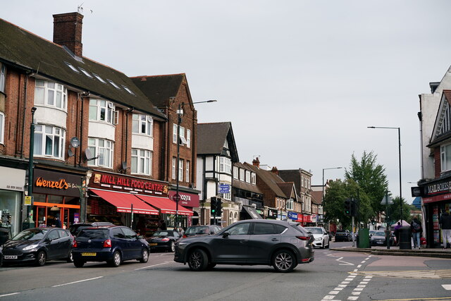
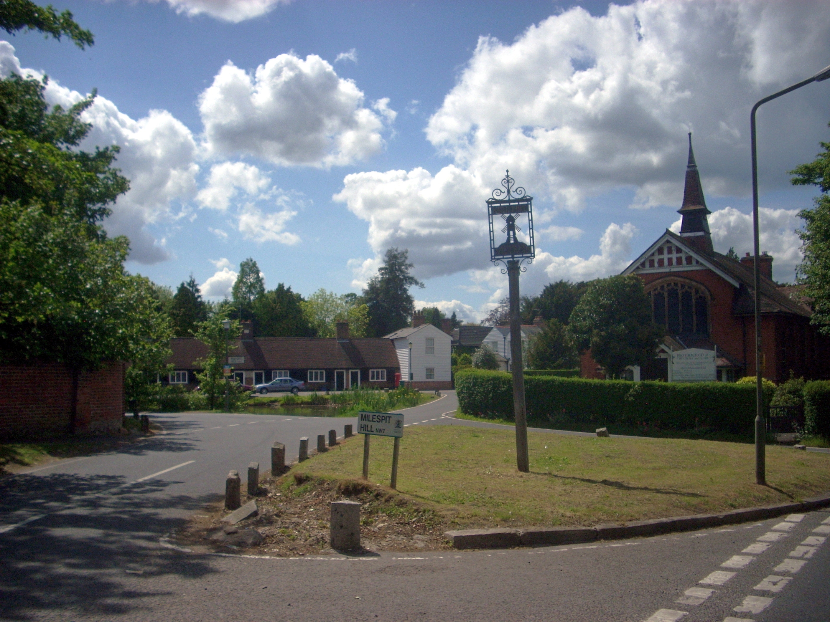
Mill Hill is home to various historical sites, including the Grade II-listed Mill Hill School, established in 1807, and the 13th-century St. Mary's Church, known for its striking architecture. The area also boasts a vibrant high street, known as The Broadway, which is lined with an array of shops, boutiques, restaurants, and cafes, catering to the needs and preferences of the local community.

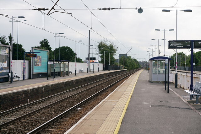
Transport links in Mill Hill are well-developed, with Mill Hill Broadway station providing regular train services to London's King's Cross and Thameslink services to St. Pancras International. Numerous bus routes also serve the area, ensuring easy access to neighboring towns and the wider London area.

Overall, Mill Hill offers a charming blend of history, nature, and community spirit, making it a desirable place to live and visit within Middlesex.

If you have any feedback on the listing, please let us know in the comments section below.
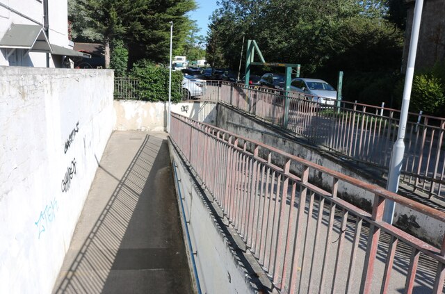
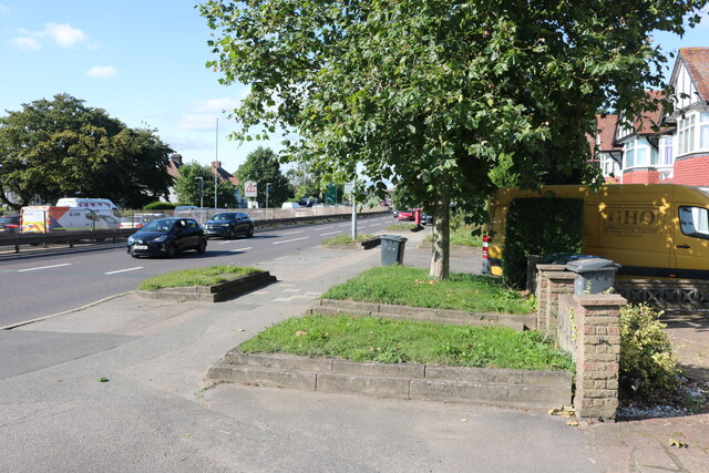
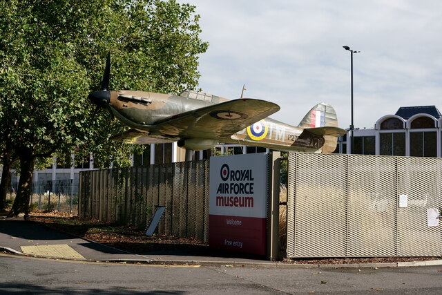
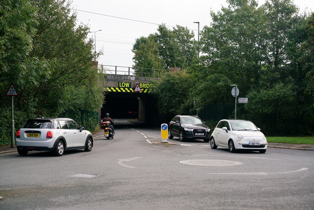
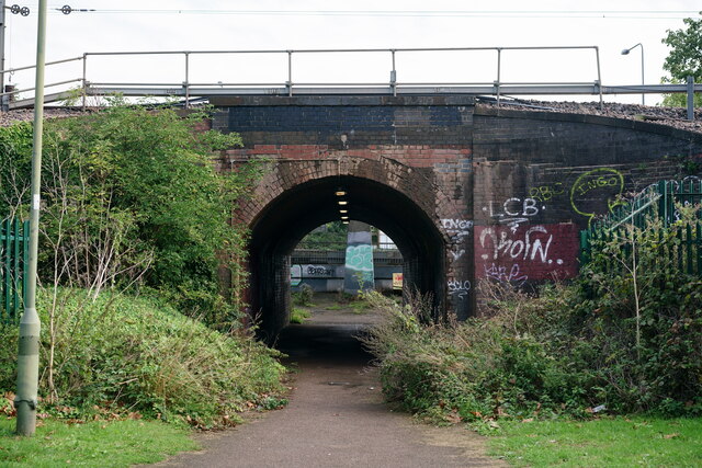
Mill Hill Images

Images are sourced within 2km of 51.616187/-0.234223 or Grid Reference TQ2292. Thanks to Geograph Open Source API. All images are credited.

Subway on Watford Way, Hendon
Watford Way, Hendon
Watford Way, Hendon
Watford Way, Hendon
Watford Way, Hendon
RAF Museum The gatekeeper, a replica Hurricane.
RAF Museum
The gatekeeper, a replica Hurricane.
RAF Museum The gatekeeper, a replica Hurricane.
RAF Museum
The gatekeeper, a replica Hurricane.
Mill Hill Broadway View towards the northwest, from the island platforms.
Mill Hill Broadway
View towards the northwest, from the island platforms.
Mill Hill Broadway View towards the southeast, from the island platforms.
Mill Hill Broadway
View towards the southeast, from the island platforms.
Mill Hill Broadway Bus stand, beside the railway station and beneath the M1 motorway.
Mill Hill Broadway
Bus stand, beside the railway station and beneath the M1 motorway.
Mill Hill A5100, The Broadway.
Mill Hill
A5100, The Broadway.
Mill Hill The gap between the two railway bridges, on the A5100, immediately north of the station
Mill Hill
The gap between the two railway bridges, on the A5100, immediately north of the station
Mill Hill The A5100, immediately north of the railway station. There are two railway bridges, plus a third which carries the M1 motorway.
Mill Hill
The A5100, immediately north of the railway station. There are two railway bridges, plus a third which carries the M1 motorway.
Mill Hill Bunn's Lane.
Mill Hill
Bunn's Lane.
Mill Hill Footpath under the railway line.
Mill Hill
Footpath under the railway line.
Mill Hill Footpath under the railway line.
Mill Hill
Footpath under the railway line.
Hendon Halt Motor Company, Avion Crescent.
Hendon
Halt Motor Company, Avion Crescent.
Sunnyhill Park, Hendon
Path through Sunnyhill Park, Hendon It's built on hills and has some amazing views to the north and west of London
Path through Sunnyhill Park, Hendon
It's built on hills and has some amazing views to the north and west of London
Show me another place!

Mill Hill is located at Grid Ref: TQ2292 (Lat: 51.616187, Lng: -0.234223)

Unitary Authority: Barnet

Police Authority: Metropolitan

What 3 Words

///help.tribes.beam. Near Hendon, London

Related Wikis

Mill Hill School

Mill Hill School is a 13–18 co-educational private, day and boarding school in Mill Hill, London, England that was established in 1807. It is a member...

Arrandene Open Space and Featherstone Hill

Arrandene Open Space and Featherstone Hill is a 25 hectare Site of Metropolitan Importance for Nature Conservation in Mill Hill in the London Borough of...

Mill Hill Park

Mill Hill Park is a large (14.3 hectare) public park in Mill Hill in the London Borough of Barnet. It one of Barnet's premier parks and it has been given...

Mill Hill

Mill Hill is a suburb in the London Borough of Barnet, England. It is situated around 10 miles (16 km) northwest of Charing Cross. It was in the historic...

Nearby Amenities

Located within 500m of 51.616187,-0.234223
Access: private
Barrier: swing_gate
Foot: private
Material: steel
Wheelchair: no
Lat/Long: 51.61571/-0.2333163
Mill Hill
Place: suburb
Wikidata: Q149688
Wikipedia: en:Mill Hill
Lat/Long: 51.6154423/-0.2330675
Recycling
Created By: Potlatch 0.7b
Lat/Long: 51.6150991/-0.2399024
Bus Stop
Birkbeck Road
Naptan AtcoCode: 490004031E
Naptan Bearing: N
Naptan CommonName: Birkbeck Road
Naptan Verified: no
Public Transport: platform
Ref: 55077
Lat/Long: 51.6156435/-0.2395957
Bus Stop
Birkbeck Road
Naptan AtcoCode: 490004031W
Naptan Bearing: W
Naptan CommonName: Birkbeck Road
Naptan Indicator: Stop
Naptan Verified: no
Public Transport: platform
Ref: 54224
Lat/Long: 51.6156018/-0.2404213
Bus Stop
Mill Hill School
Bench: yes
Naptan AtcoCode: 490009907N
Naptan Bearing: N
Naptan CommonName: Mill Hill School
Naptan Verified: no
Operator: Transport for London
Public Transport: platform
Ref: 75022
Shelter: yes
Lat/Long: 51.618611/-0.2291875
Bus Stop
Mill Hill School
Bench: yes
Naptan AtcoCode: 490009907S
Naptan Bearing: N
Naptan CommonName: Mill Hill School
Naptan Verified: no
Operator: Transport for London
Public Transport: platform
Ref: 75907
Shelter: yes
Wikidata: Q6858340
Wikipedia: en:Mill Hill School
Lat/Long: 51.6188238/-0.2292529
Bus Stop
Shakespeare Road
Naptan AtcoCode: 490012035N
Naptan Bearing: N
Naptan CommonName: Shakespeare Rd Hammers Lane
Naptan Verified: no
Public Transport: platform
Ref: 50664
Lat/Long: 51.6189145/-0.2359134
Bus Stop
Shakespeare Road
Naptan AtcoCode: 490012035S
Naptan Bearing: N
Naptan CommonName: Shakespeare Rd Hammers Lane
Naptan Verified: no
Public Transport: platform
Ref: 71764
Lat/Long: 51.6179803/-0.236076
Bus Stop
Wise Lane
Naptan AtcoCode: 490014791W
Naptan Bearing: W
Naptan CommonName: Wise Lane (NW7)
Naptan Verified: no
Public Transport: platform
Ref: 53870
Lat/Long: 51.615302/-0.237487
Bus Stop
Wise Lane
Naptan AtcoCode: 490014797N
Naptan Bearing: N
Naptan CommonName: Wise Lane Hammers Lane
Naptan Indicator: Stop
Naptan Verified: no
Public Transport: platform
Ref: 49798
Lat/Long: 51.6159155/-0.2366495
Post Box
Operator: Royal Mail
Operator Wikidata: Q638098
Ref: NW7 101
Lat/Long: 51.6156024/-0.2408212
Post Box
Operator: Royal Mail
Operator Wikidata: Q638098
Ref: NW7 10
Lat/Long: 51.6156234/-0.2408196
Post Box
Operator: Royal Mail
Operator Wikidata: Q638098
Ref: NW7 7
Lat/Long: 51.6172293/-0.237493
Post Box
Operator: Royal Mail
Operator Wikidata: Q638098
Ref: NW7 11
Lat/Long: 51.6184904/-0.2359312
Chalet Estate
Landuse: residential
Lat/Long: 51.6198121/-0.2370621
Marshall Estate
Landuse: residential
Lat/Long: 51.6182274/-0.2349818
Crossing
Crossing: uncontrolled
Crossing Island: yes
Crossing Ref: zebra
Tactile Paving: yes
Lat/Long: 51.6156296/-0.2400758
Rosebank Quaker Meeting House
Historic: memorial
Memorial: plaque
Openplaques Id: 10578
Source: http://www.geograph.org.uk/photo/2710576
Lat/Long: 51.6182575/-0.2279509
Crossing
Lat/Long: 51.6178892/-0.2291186
Historic: memorial
Lat/Long: 51.6203728/-0.2317944
Bench
Backrest: yes
Lat/Long: 51.6135872/-0.2385952
Waste Basket
Lat/Long: 51.6133585/-0.2384739
Bench
Backrest: yes
Lat/Long: 51.6136079/-0.2378806
Waste Basket
Lat/Long: 51.6136764/-0.2377774
Bench
Backrest: yes
Lat/Long: 51.6136314/-0.2376665
Bench
Backrest: yes
Lat/Long: 51.6135061/-0.2375935
Cafe
Mill Hill Park Cafe
Lat/Long: 51.614163/-0.2392938
Waste Basket
Lat/Long: 51.6156344/-0.2396486
Telephone
Booth: K6
Covered: booth
Listed Status: Grade II
Lat/Long: 51.6181541/-0.2282958
Bench
Lat/Long: 51.6181116/-0.2282314
Crossing
Crossing: uncontrolled
Crossing Island: no
Crossing Markings: zebra
Tactile Paving: no
Lat/Long: 51.6163915/-0.2305272
Crossing
Lat/Long: 51.6157341/-0.2334264
Crossing
Lat/Long: 51.6179685/-0.2290687
Crossing
Crossing: uncontrolled
Crossing Island: no
Crossing Markings: zebra
Tactile Paving: no
Lat/Long: 51.6163804/-0.2305706
Crossing
Lat/Long: 51.6163843/-0.2305551
Bicycle Parking
Bicycle Parking: stands
Capacity: 4
Ref GB Tflcid: RWG281080
Lat/Long: 51.615718/-0.2405482
Crossing
Crossing: uncontrolled
Crossing Island: no
Crossing Markings: zebra;dots
Crossing Ref: zebra
Tactile Paving: no
Lat/Long: 51.6184053/-0.2287175
Crossing
Lat/Long: 51.6189688/-0.2297468
Crossing
Lat/Long: 51.6194489/-0.2305584
Crossing
Bicycle: no
Button Operated: yes
Crossing: traffic_signals
Crossing Island: no
Crossing Ref: pelican
Traffic Signals Sound: yes
Lat/Long: 51.620106/-0.231265
Barrier: kissing_gate
Lat/Long: 51.6178061/-0.2361931
Noexit: yes
Lat/Long: 51.6155059/-0.2400208
The data included in this document is from www.openstreetmap.org. The data is made available under ODbL.

Have you been to Mill Hill?

Leave your review of Mill Hill below (or comments, questions and feedback).