West Tump
Heritage Site in Gloucestershire Tewkesbury
England
West Tump
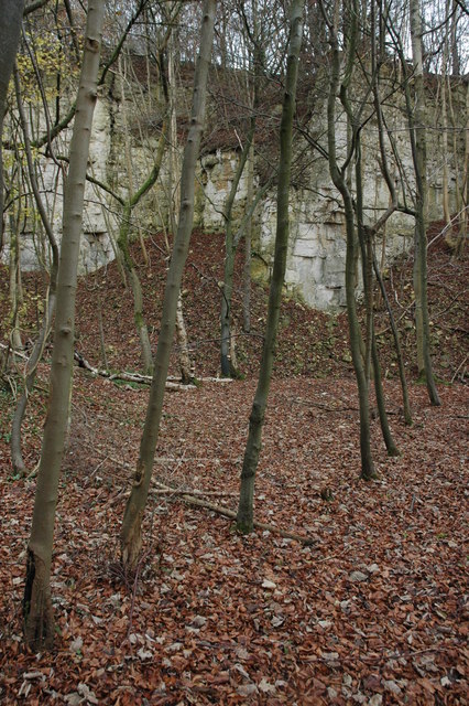
West Tump is a heritage site located in the county of Gloucestershire, England. It is situated in the charming rural village of West Tump and holds great historical and cultural significance. The site is known for its well-preserved ancient burial mound, which is believed to date back to the Neolithic period, around 4000-2500 BCE.
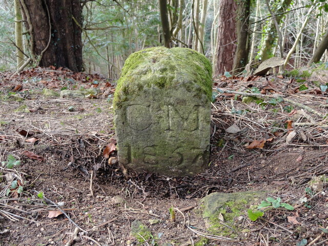
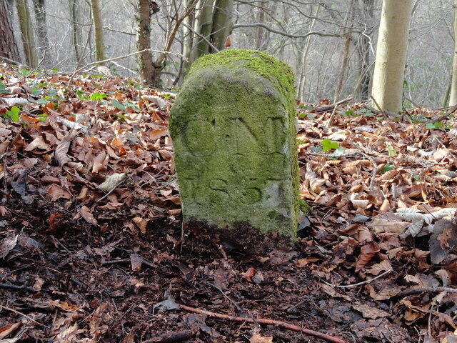
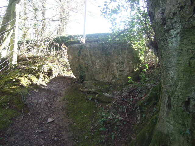
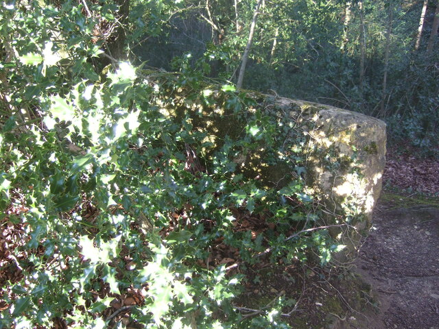
The burial mound at West Tump is a circular earthwork, approximately 30 meters in diameter and 3 meters high. It is surrounded by a ditch, which was likely constructed for defensive purposes or as a symbolic boundary. The mound itself is made up of layers of earth, stones, and possibly human remains, indicating its function as a burial site.
Archaeological excavations have revealed various artifacts and remains within the burial mound, including pottery fragments, flint tools, and human bones. These findings provide valuable insights into the burial practices and lifestyles of the ancient inhabitants of West Tump.
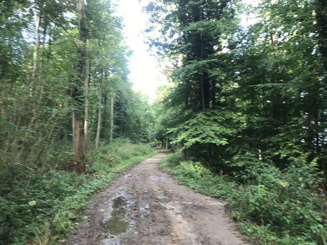
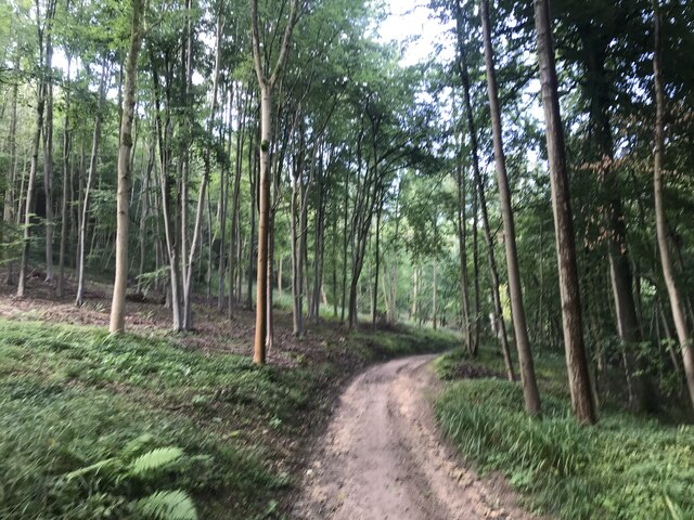
The site also offers picturesque views of the surrounding countryside, with rolling hills and lush green fields. It attracts visitors who are interested in exploring the region's rich history and experiencing its tranquil ambiance.
West Tump is managed and protected by the local authorities, ensuring its preservation for future generations. Interpretive panels and information boards have been installed at the site, offering visitors detailed historical information and context.
Overall, West Tump is a fascinating heritage site that provides a glimpse into the ancient past of Gloucestershire. It is a significant archaeological site and a testament to the rich cultural heritage of the region.
If you have any feedback on the listing, please let us know in the comments section below.
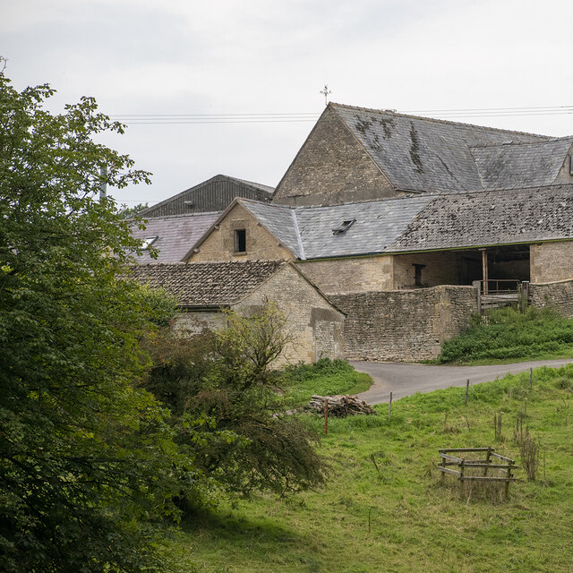
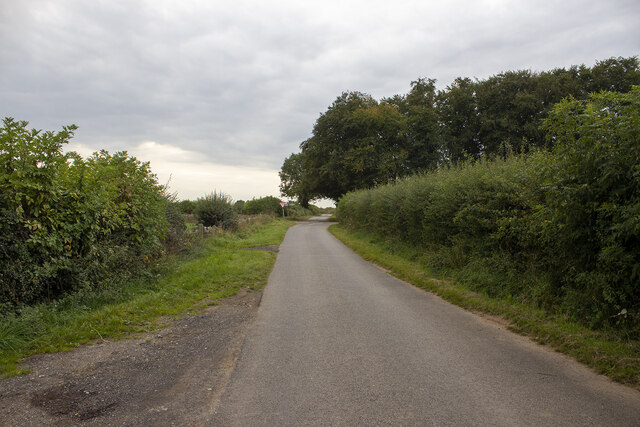
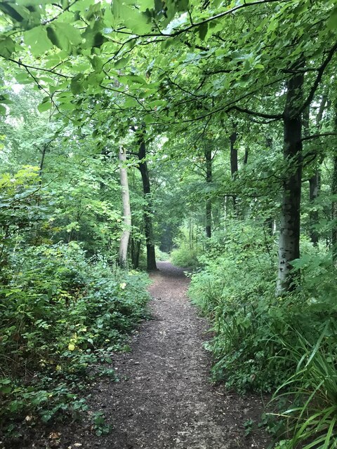
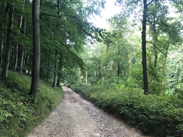
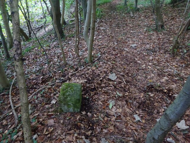
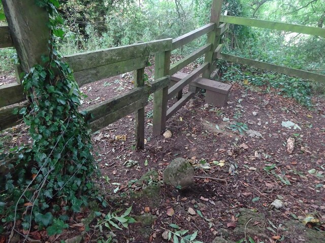
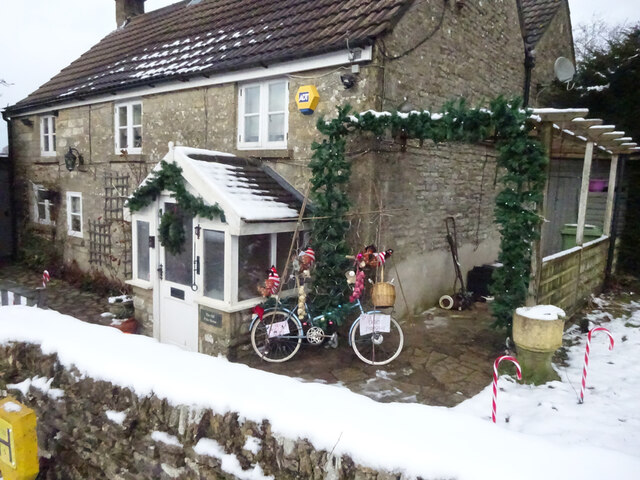
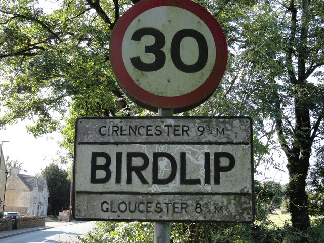
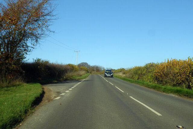
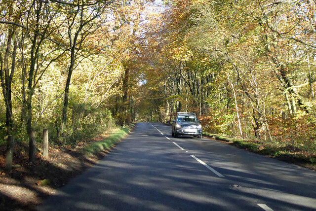
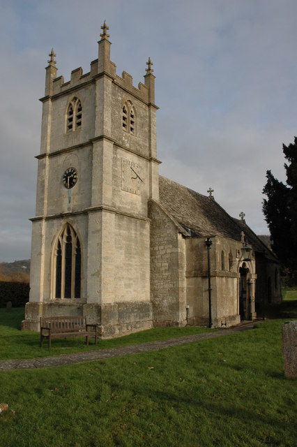
West Tump Images
Images are sourced within 2km of 51.82/-2.123 or Grid Reference SO9113. Thanks to Geograph Open Source API. All images are credited.
West Tump is located at Grid Ref: SO9113 (Lat: 51.82, Lng: -2.123)
Administrative County: Gloucestershire
District: Tewkesbury
Police Authority: Gloucestershire
What 3 Words
///dolls.trousers.camps. Near Shurdington, Gloucestershire
Nearby Locations
Related Wikis
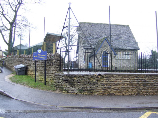
Birdlip
Birdlip is a village and civil parish, in the Cotswold district, in the county of Gloucestershire, England. It is in the Cotswolds Area of Outstanding...
Great Witcombe
Great Witcombe is a village and civil parish 5 miles (8 km) south east of Gloucester, in the Tewkesbury district, in the county of Gloucestershire, England...

Barrow Wake
Barrow Wake is a scenic view in Gloucestershire, near Birdlip, England. Barrow Wake was used as the location for the music video "Wytches" by Pagan Rock...
Knap House Quarry, Birdlip
Knap House Quarry, Birdlip (grid reference SO925147) is a 1.80-hectare (4.4-acre) geological Site of Special Scientific Interest in Gloucestershire, notified...

Cotswold Commons and Beechwoods
Cotswold Commons and Beechwoods (grid reference SO900130) is a 665.5-hectare (1,644-acre) biological Site of Special Scientific Interest in Gloucestershire...
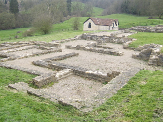
Great Witcombe Roman Villa
Great Witcombe Roman Villa was a villa built during the Roman occupation of Britain. It is located on a hillside at Great Witcombe, near Gloucester in...

Cranham, Gloucestershire
Cranham is a village in the English county of Gloucestershire. Forming part of the district of Stroud it is to be found a mile or so east of the A46 road...

Brimpsfield Priory
Brimpsfield Priory was a Benedictine monastic foundation in Brimpsfield, Gloucestershire, England, a cell or grange of the Abbey of Saint-Wandrille in...
Nearby Amenities
Located within 500m of 51.82,-2.123Have you been to West Tump?
Leave your review of West Tump below (or comments, questions and feedback).