Buckle Wood
Wood, Forest in Gloucestershire Cotswold
England
Buckle Wood
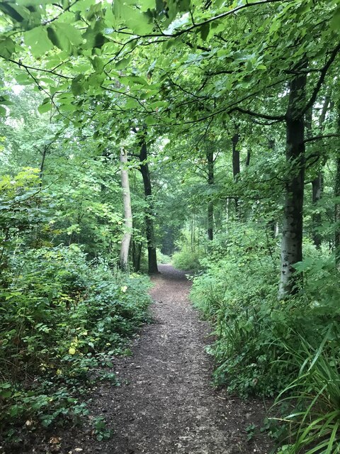
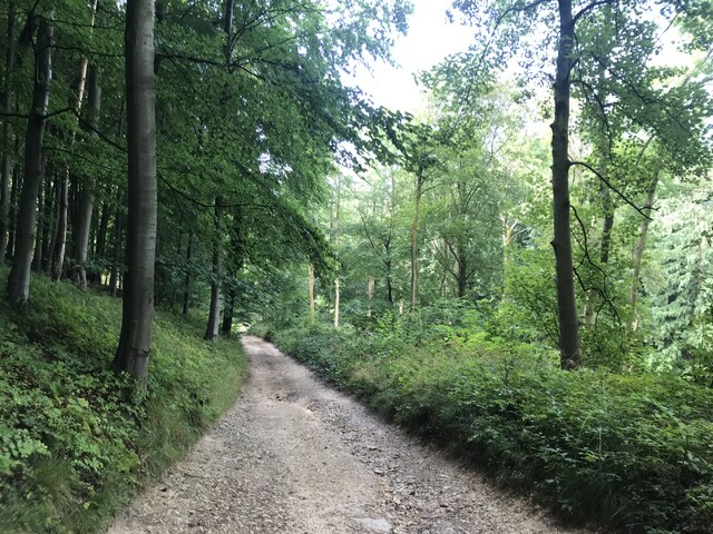
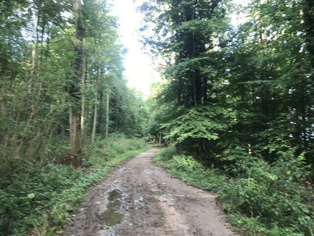
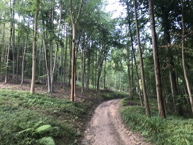
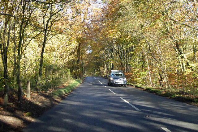
Buckle Wood is a picturesque forest located in the county of Gloucestershire, England. Spread across a vast area, this woodland is known for its natural beauty, diverse flora, and tranquil atmosphere. Nestled amidst the rolling hills of the Cotswolds, Buckle Wood offers a serene escape from the hustle and bustle of modern life.
The forest is predominantly composed of broadleaf trees, including oak, beech, and ash, creating a rich and vibrant canopy. Throughout the seasons, the woodland showcases a stunning display of colors, with vibrant greens in the spring and summer, transforming into a tapestry of reds, oranges, and golds during autumn.
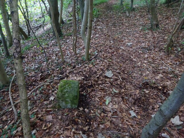
Buckle Wood is a haven for nature enthusiasts and wildlife lovers. It provides a habitat for various woodland creatures, such as deer, badgers, foxes, and an array of bird species. The forest floor is covered in a carpet of mosses, ferns, and wildflowers, adding to its enchanting allure.
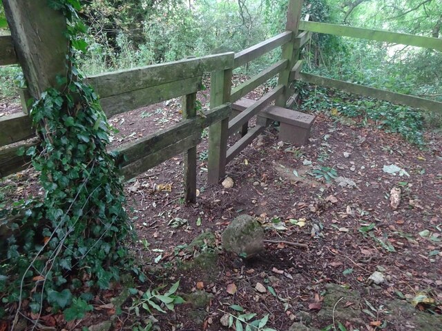
Visitors to Buckle Wood can explore its numerous walking trails, offering a chance to immerse themselves in the tranquil surroundings and appreciate the natural wonders. The forest is also home to a variety of fungi, making it a popular spot for foraging enthusiasts.
Managed by local conservation organizations, Buckle Wood strives to preserve its ecological integrity and offers educational programs to raise awareness about the importance of woodland conservation. It welcomes visitors of all ages and provides a perfect setting for leisurely walks, picnics, and nature photography.
Whether it is the vibrant colors of autumn or the peaceful ambiance of spring, Buckle Wood, Gloucestershire, is a place where visitors can connect with nature and experience the tranquility of a truly enchanting forest.
If you have any feedback on the listing, please let us know in the comments section below.
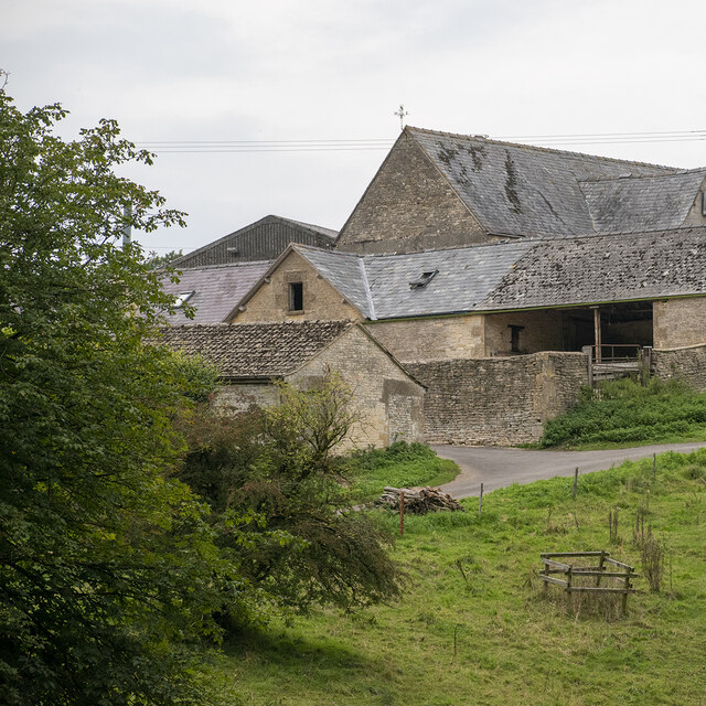
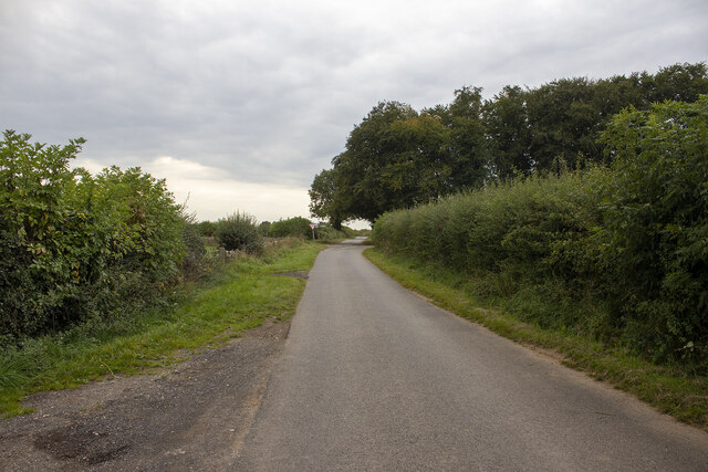
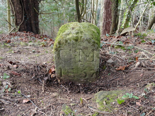
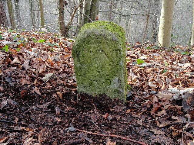
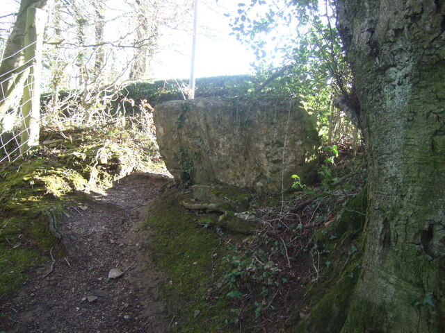
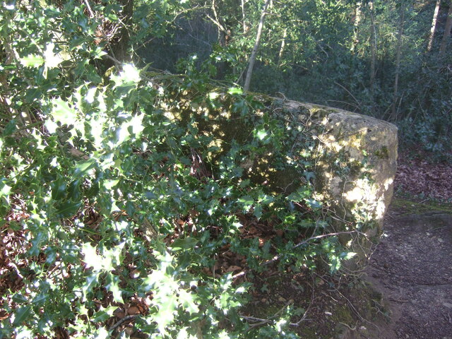
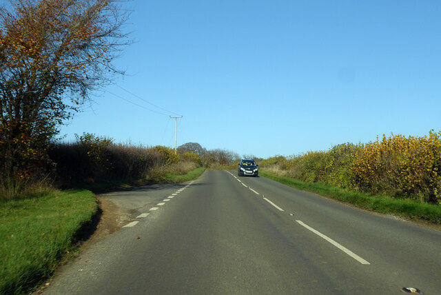
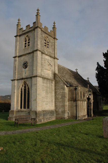
Buckle Wood Images
Images are sourced within 2km of 51.819022/-2.1275044 or Grid Reference SO9113. Thanks to Geograph Open Source API. All images are credited.
Buckle Wood is located at Grid Ref: SO9113 (Lat: 51.819022, Lng: -2.1275044)
Administrative County: Gloucestershire
District: Cotswold
Police Authority: Gloucestershire
What 3 Words
///retraced.devalued.monks. Near Shurdington, Gloucestershire
Nearby Locations
Related Wikis

Cotswold Commons and Beechwoods
Cotswold Commons and Beechwoods (grid reference SO900130) is a 665.5-hectare (1,644-acre) biological Site of Special Scientific Interest in Gloucestershire...
Great Witcombe
Great Witcombe is a village and civil parish 5 miles (8 km) south east of Gloucester, in the Tewkesbury district, in the county of Gloucestershire, England...
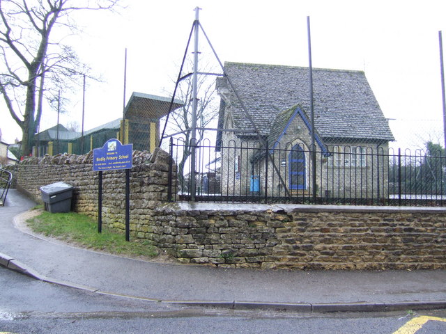
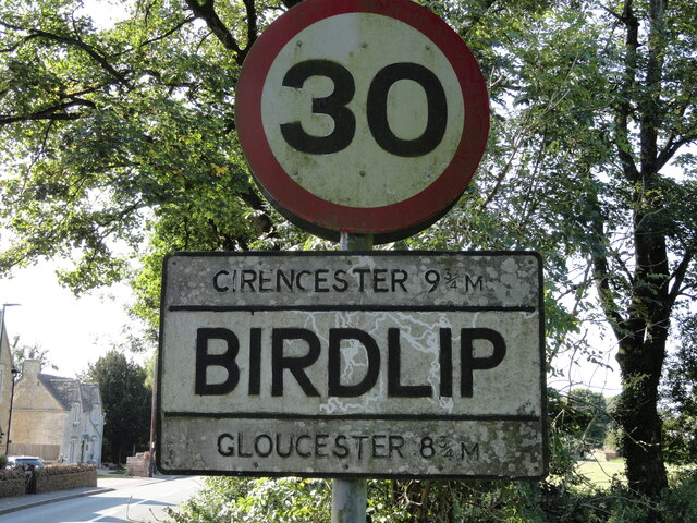
Birdlip
Birdlip is a village and civil parish, in the Cotswold district, in the county of Gloucestershire, England. It is in the Cotswolds Area of Outstanding...
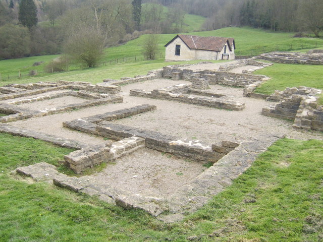
Great Witcombe Roman Villa
Great Witcombe Roman Villa was a villa built during the Roman occupation of Britain. It is located on a hillside at Great Witcombe, near Gloucester in...
Related Videos

Walking in the English Countryside on the Last of the Winter Snow
So, today we are out and about walking (and a bit of running - not through choice!) in the countryside within the location of Birdlip ...

Visiting the Great Witcombe Roman Villa
We had a fun day out exploring the fantastic 250AD Roman Villa in Great Witcombe, which is found right next to the Cotswold Way ...
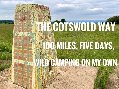
Cotswold Way - five days, on my own and wild camping.
This is a video following my walk on the Cotswold Way In late June 2021. I took five days and wild camped three out of the four ...

Cotswold Way Day 3, Cleeve Hill to Birdlip, @caminojohn3240
August 26th, 2022. My walk from Cleeve Hill to Birdlip. The following music was used for this media project: Music: Seven Seas by ...
Nearby Amenities
Located within 500m of 51.819022,-2.1275044Have you been to Buckle Wood?
Leave your review of Buckle Wood below (or comments, questions and feedback).