Horse Coppice
Wood, Forest in Dorset
England
Horse Coppice
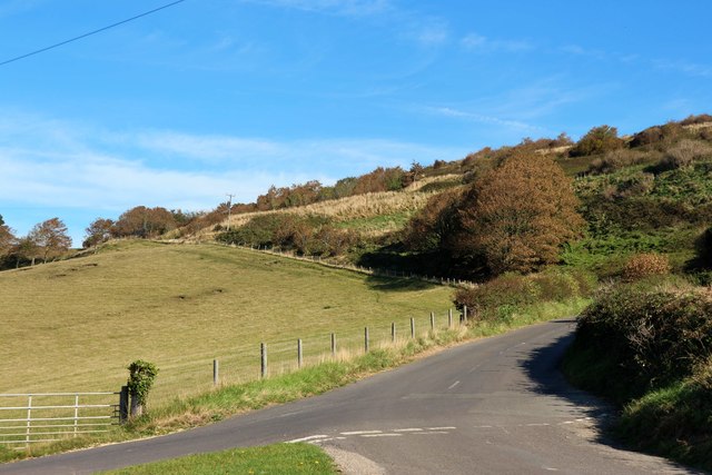
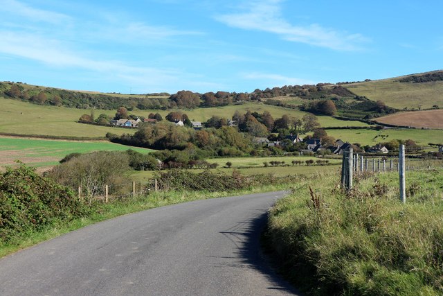
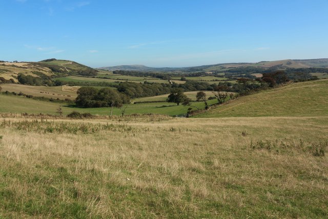
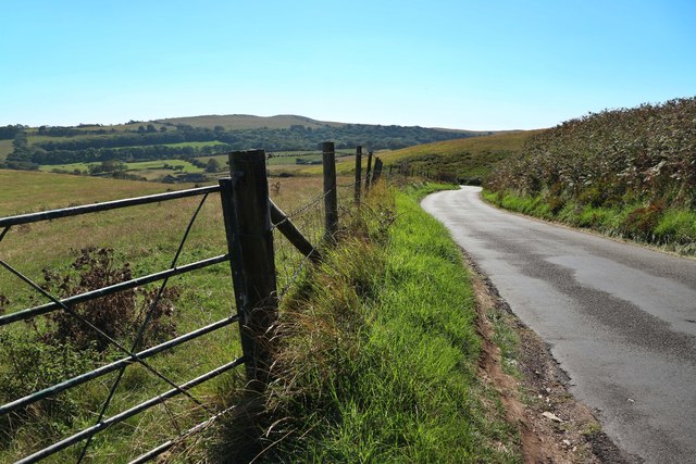
Horse Coppice is a picturesque woodland located in the county of Dorset, England. Covering an area of approximately 50 hectares, this enchanting forest is a haven for nature lovers and outdoor enthusiasts alike.
The woodland is predominantly made up of a mix of broadleaf trees, including oak, beech, and ash, which create a dense and lush canopy overhead. The forest floor is adorned with a diverse array of flora, such as bluebells, wild garlic, and wood sorrel, adding bursts of color to the woodland landscape throughout the year.
Horse Coppice is home to a wide variety of wildlife, making it a popular spot for birdwatchers and wildlife photographers. Visitors may be lucky enough to spot species such as woodpeckers, tawny owls, and deer, which can often be seen gracefully moving among the trees.
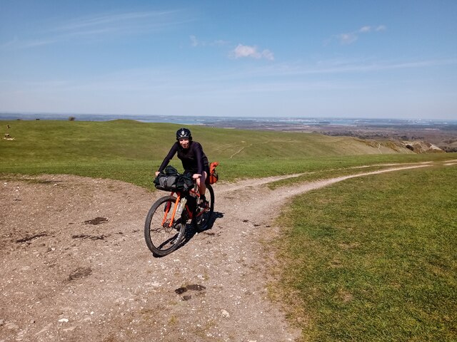
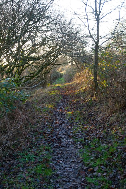
Tranquility and serenity are the hallmarks of this forest, making it an ideal destination for those seeking a peaceful retreat from the hustle and bustle of daily life. There are several well-maintained footpaths and trails that crisscross through the woodland, allowing visitors to explore its beauty at their own pace. These paths offer opportunities for leisurely walks, jogging, or even horse riding, providing a range of activities for outdoor enthusiasts.
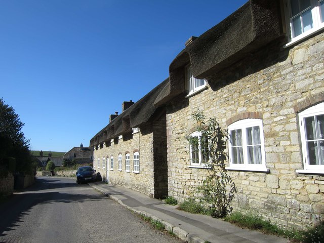
Horse Coppice is easily accessible, located just a short drive from the nearby town of Dorchester. It offers ample parking facilities and has picnic areas where visitors can relax and enjoy a packed lunch amidst the natural beauty of the forest.
If you have any feedback on the listing, please let us know in the comments section below.
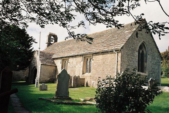
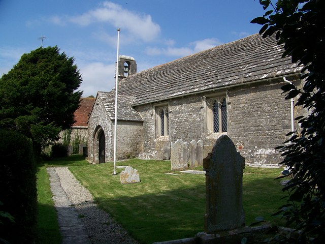
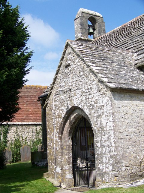
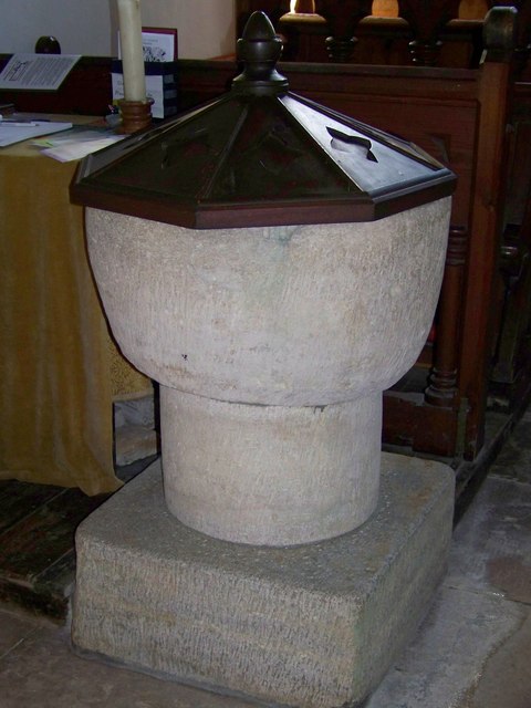
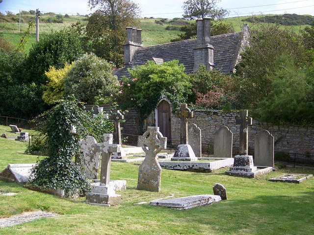
Horse Coppice Images
Images are sourced within 2km of 50.631079/-2.124257 or Grid Reference SY9181. Thanks to Geograph Open Source API. All images are credited.
Horse Coppice is located at Grid Ref: SY9181 (Lat: 50.631079, Lng: -2.124257)
Unitary Authority: Dorset
Police Authority: Dorset
What 3 Words
///irritate.reporter.ally. Near Corfe Castle, Dorset
Nearby Locations
Related Wikis

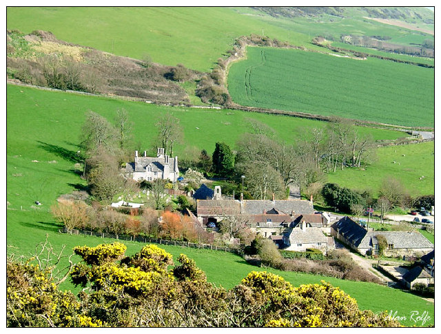
Steeple, Dorset
Steeple is a hamlet and former civil parish, now in the civil parish of Steeple with Tyneham, in the Purbeck district of the English county of Dorset....

Grange Arch
Grange Arch, also known as Creech Folly, is an 18th-century folly that is located near the second highest point of the Purbeck Hills, Ridgeway Hill (199...

Ridgeway Hill
Ridgeway Hill, also referred to as Grange Hill or Steeple Hill, is the third highest point of the Purbeck Hills in the county of Dorset standing at 199...

Purbeck Hills
The Purbeck Hills, also called the Purbeck Ridge or simply the Purbecks, are a ridge of chalk downs in Dorset, England. It is formed by the structure known...

Creech Grange
Creech Grange is a country house in Steeple, south of Wareham in Dorset at the foot of the Purbeck Hills. Historic England designate it as a Grade I listed...

St Nicholas's Church, Kimmeridge
St Nicholas's Church is a parish church in Kimmeridge, Dorset. It is dedicated to St Nicholas of Myra. The church is in the Archdeaconry of Dorset, in...

The Etches Collection
The Etches Collection (also known as the Museum of Jurassic Marine Life) is an independent fossil museum located in the village of Kimmeridge, Dorset,...

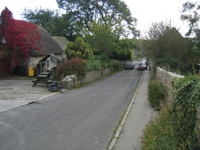
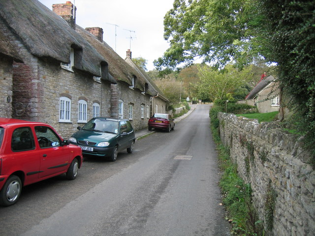
Kimmeridge
Kimmeridge ( ) is a small village and civil parish on the Isle of Purbeck, a peninsula on the English Channel coast in Dorset, England. It is situated...
Nearby Amenities
Located within 500m of 50.631079,-2.124257Have you been to Horse Coppice?
Leave your review of Horse Coppice below (or comments, questions and feedback).