Bottom Coppice
Wood, Forest in Dorset
England
Bottom Coppice
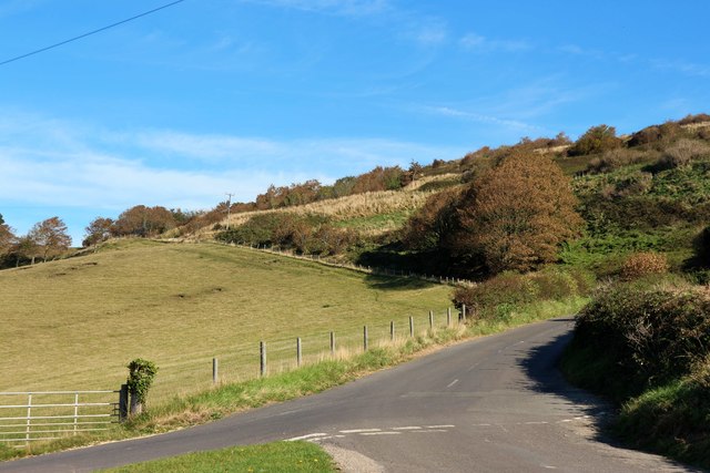
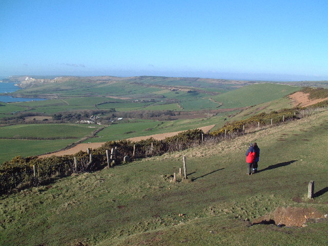
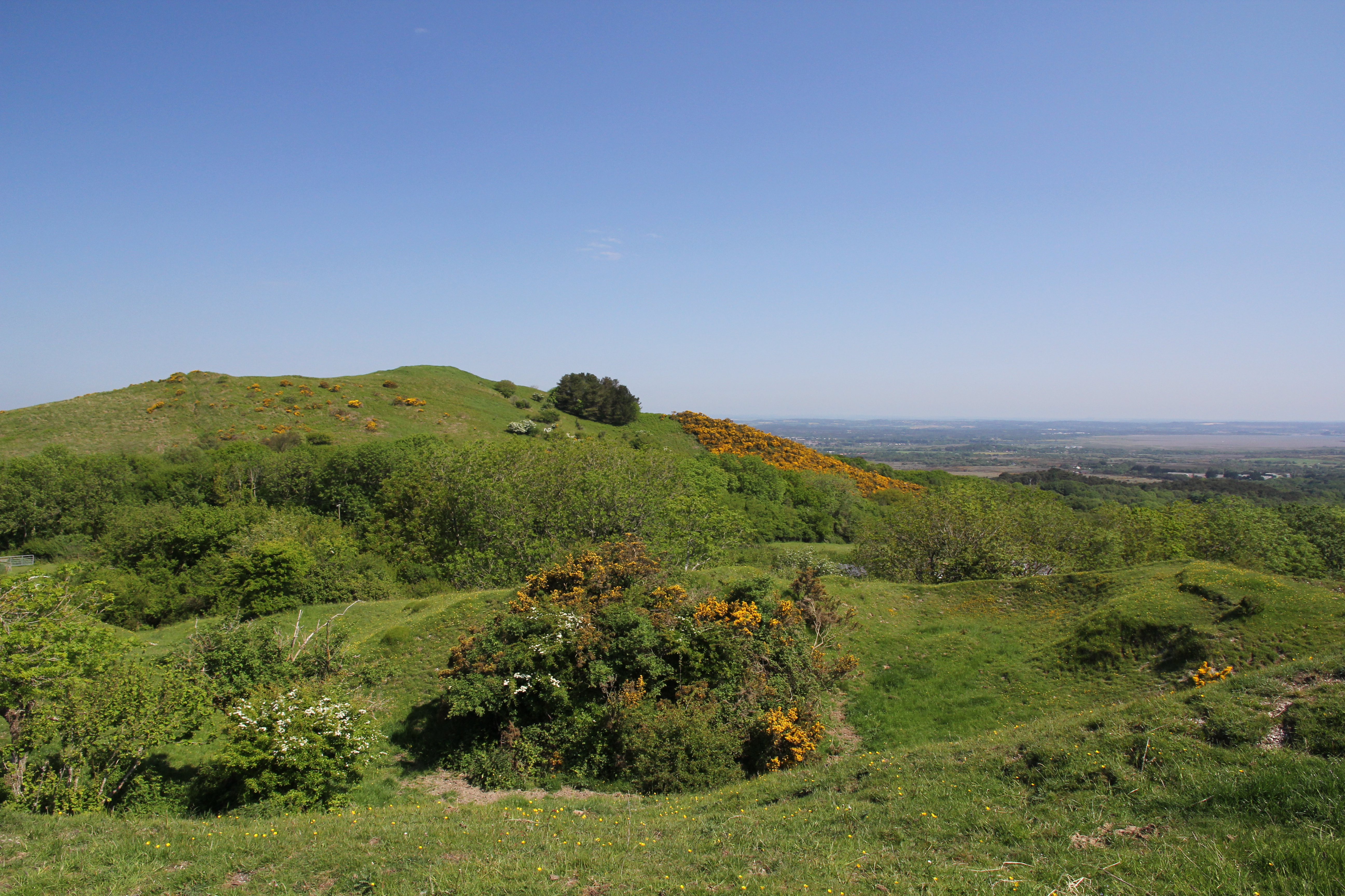
Bottom Coppice is a picturesque woodland located in the county of Dorset, England. Covering an area of approximately 50 hectares, it is nestled within the beautiful countryside, making it a popular destination for nature lovers and outdoor enthusiasts.
The woodland consists mainly of broadleaf trees, including oak, ash, and beech, creating a diverse and vibrant ecosystem. The canopy of trees provides ample shade, creating a cool and tranquil atmosphere for visitors to enjoy. The forest floor is adorned with a variety of flora, such as bluebells, wood anemones, and wild garlic, adding bursts of color to the landscape.
Bottom Coppice has a rich history, dating back to medieval times when it was managed as a coppice woodland for its timber production. Today, it is managed by the local authorities for conservation purposes, ensuring the preservation of its natural beauty and wildlife. The woodland is home to a wide range of wildlife, including deer, badgers, foxes, and a plethora of bird species, making it a haven for wildlife enthusiasts and birdwatchers.
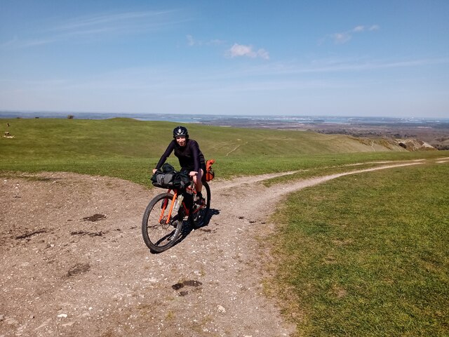
There are several well-maintained trails that wind their way through the wood, allowing visitors to explore and appreciate its natural wonders. These paths provide a peaceful setting for walkers, joggers, and cyclists to enjoy the serenity of the forest. The woodland also boasts a picnic area, providing the perfect spot for families and friends to relax and enjoy a meal surrounded by nature.
Overall, Bottom Coppice in Dorset is a true gem of natural beauty, offering a peaceful retreat for those seeking solace in the great outdoors.
If you have any feedback on the listing, please let us know in the comments section below.
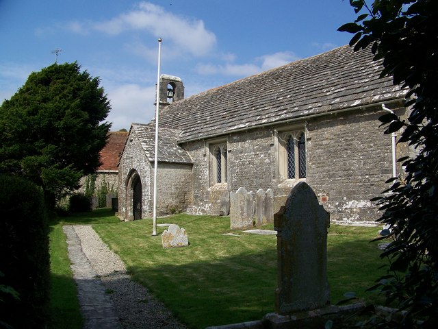
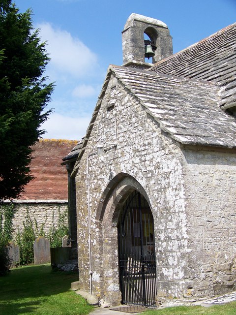
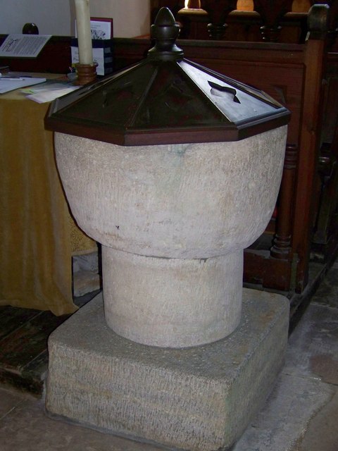
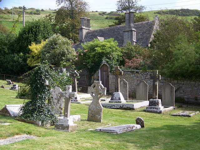
Bottom Coppice Images
Images are sourced within 2km of 50.632239/-2.1159462 or Grid Reference SY9181. Thanks to Geograph Open Source API. All images are credited.
Bottom Coppice is located at Grid Ref: SY9181 (Lat: 50.632239, Lng: -2.1159462)
Unitary Authority: Dorset
Police Authority: Dorset
What 3 Words
///lawyer.smoke.begun. Near Corfe Castle, Dorset
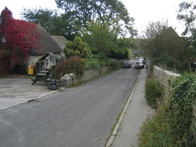
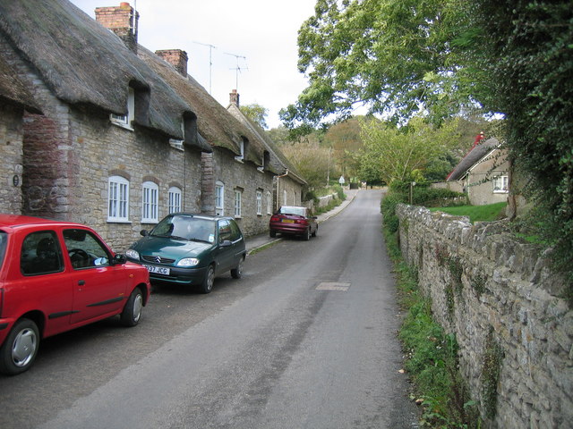
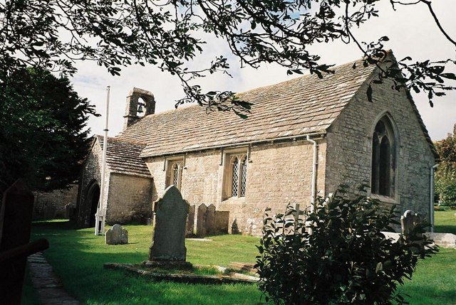
Nearby Locations
Related Wikis

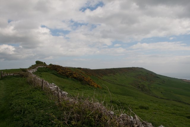
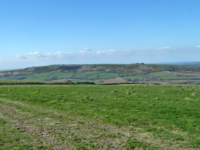
Purbeck Hills
The Purbeck Hills, also called the Purbeck Ridge or simply the Purbecks, are a ridge of chalk downs in Dorset, England. It is formed by the structure known...

Ridgeway Hill
Ridgeway Hill, also referred to as Grange Hill or Steeple Hill, is the third highest point of the Purbeck Hills in the county of Dorset standing at 199...

Grange Arch
Grange Arch, also known as Creech Folly, is an 18th-century folly that is located near the second highest point of the Purbeck Hills, Ridgeway Hill (199...

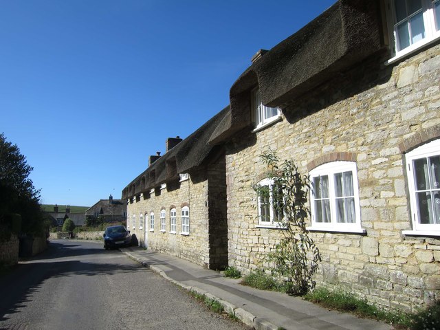
Steeple, Dorset
Steeple is a hamlet and former civil parish, now in the civil parish of Steeple with Tyneham, in the Purbeck district of the English county of Dorset....

Stonehill Down Nature Reserve
The Stonehill Down Nature Reserve is a downland nature reserve on the Purbeck Hills in the county of Dorset, England. It is managed by the Dorset Wildlife...
Creech Barrow Hill
Creech Barrow Hill is a steep, conical hill, 193 metres (633 ft) (one source 637 feet) high, near the coast of Dorset, England, and the highest point of...

Barnston Manor
Barnston Manor is a 13th-century manor house and farm near Church Knowle in Dorset, England. The house is a Grade I listed building, and some farm buildings...

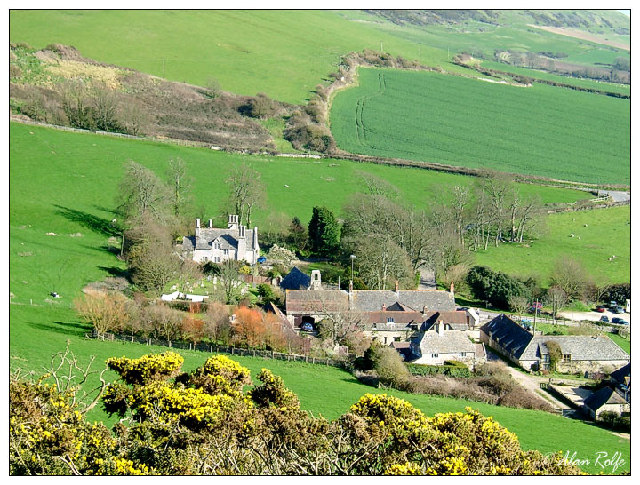
Creech Grange
Creech Grange is a country house in Steeple, south of Wareham in Dorset at the foot of the Purbeck Hills. Historic England designate it as a Grade I listed...
Nearby Amenities
Located within 500m of 50.632239,-2.1159462Have you been to Bottom Coppice?
Leave your review of Bottom Coppice below (or comments, questions and feedback).