Witcombe Wood
Wood, Forest in Gloucestershire Tewkesbury
England
Witcombe Wood
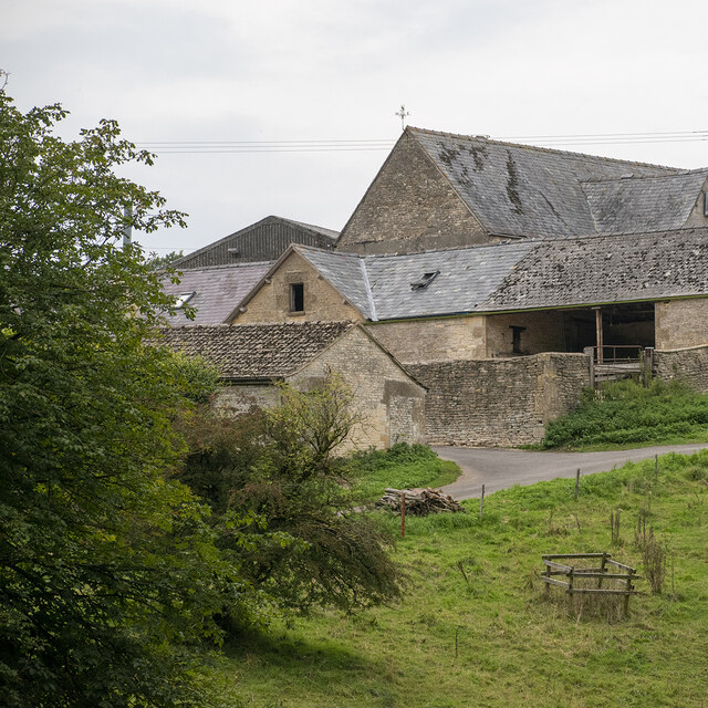
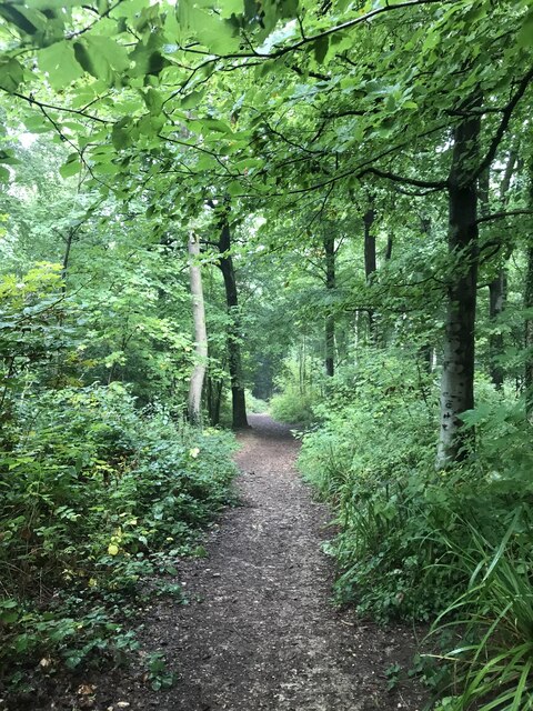
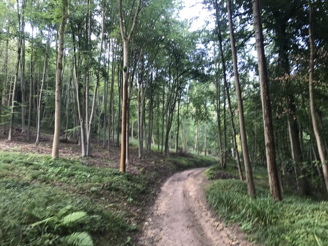
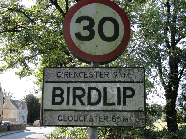
Witcombe Wood is a picturesque woodland located in the county of Gloucestershire, England. Covering an area of approximately 200 hectares, the wood is nestled in the scenic Cotswold Hills, offering visitors a peaceful and serene atmosphere. It is situated near the village of Birdlip, just a short distance from the larger towns of Gloucester and Cheltenham.
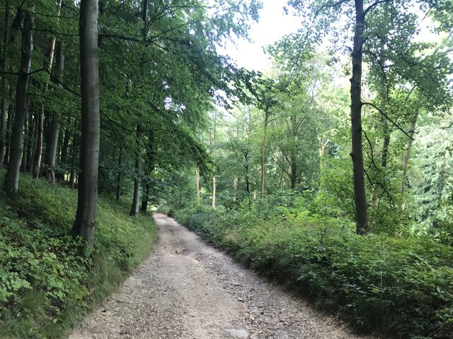
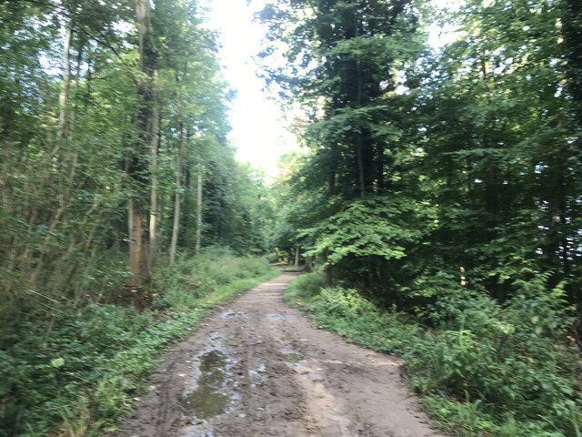
The wood is primarily composed of deciduous trees, including oak, beech, and ash, which create a vibrant and diverse ecosystem. It is a designated Site of Special Scientific Interest (SSSI), recognized for its rich biodiversity and important wildlife habitats. Visitors can expect to encounter a variety of bird species, such as woodpeckers and nightingales, as well as small mammals like foxes and badgers.
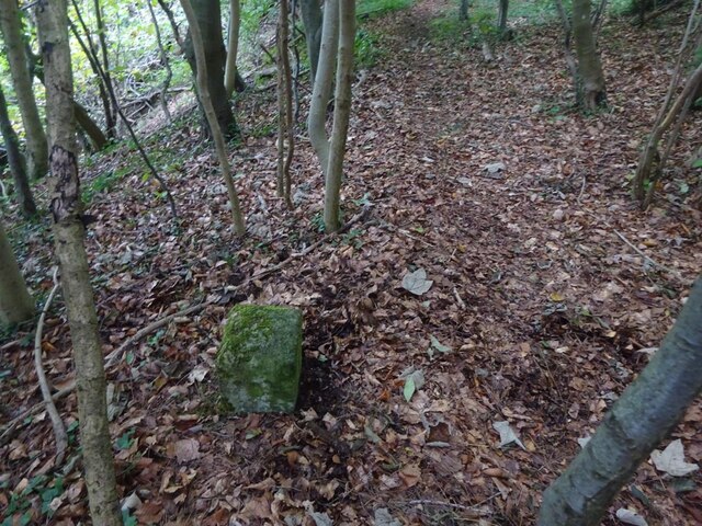
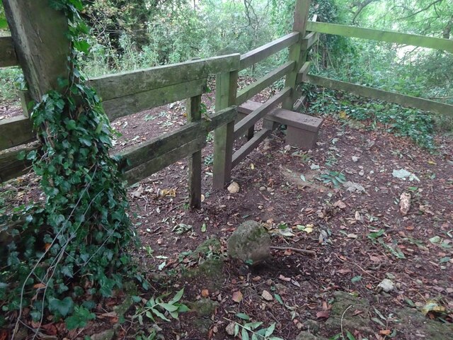
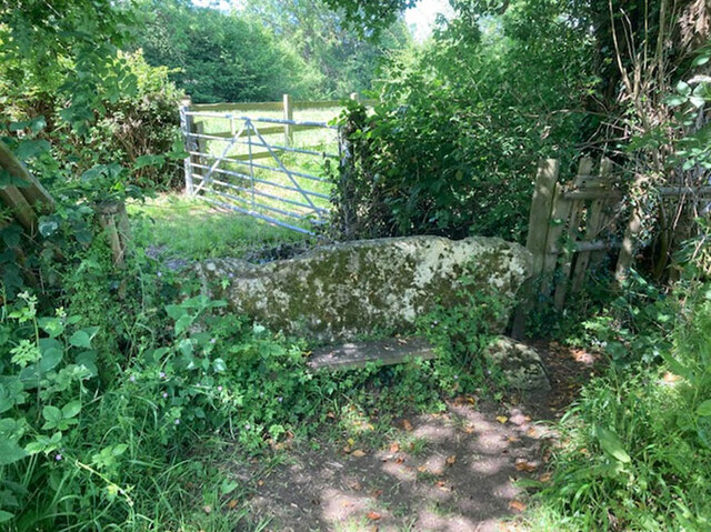
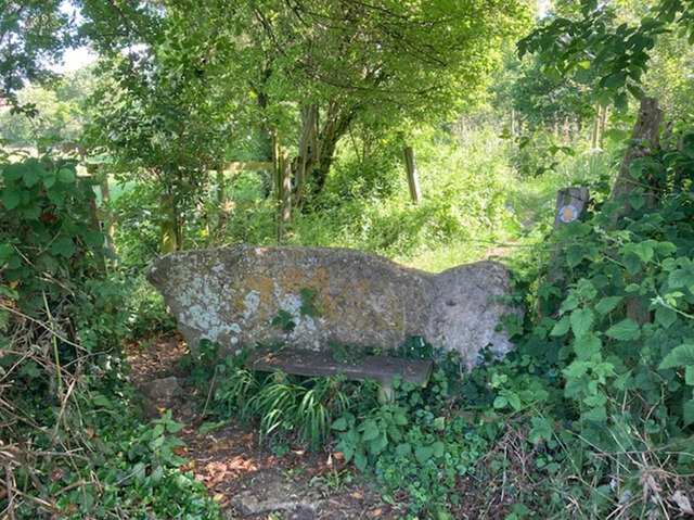
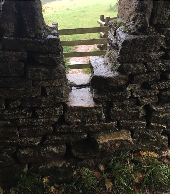
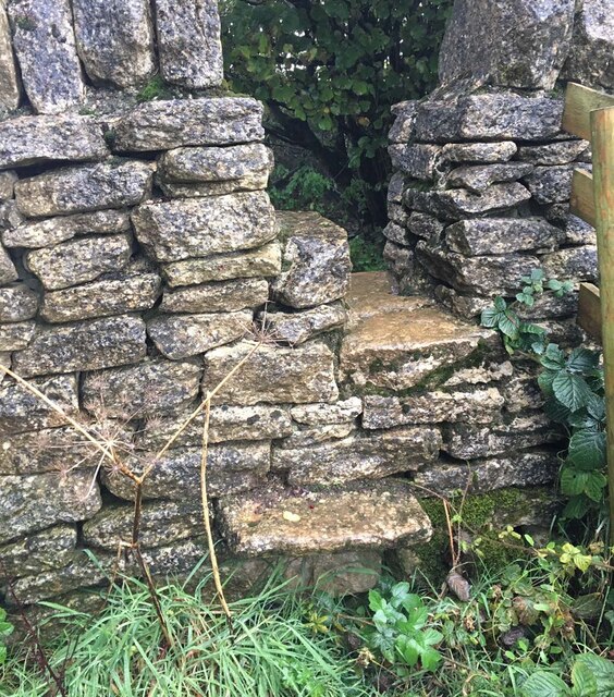
Witcombe Wood is a popular destination for nature enthusiasts and outdoor lovers. The wood offers a network of well-maintained footpaths and trails, allowing visitors to explore its beauty on foot. There are also designated picnic areas and benches where visitors can relax and enjoy the surroundings.
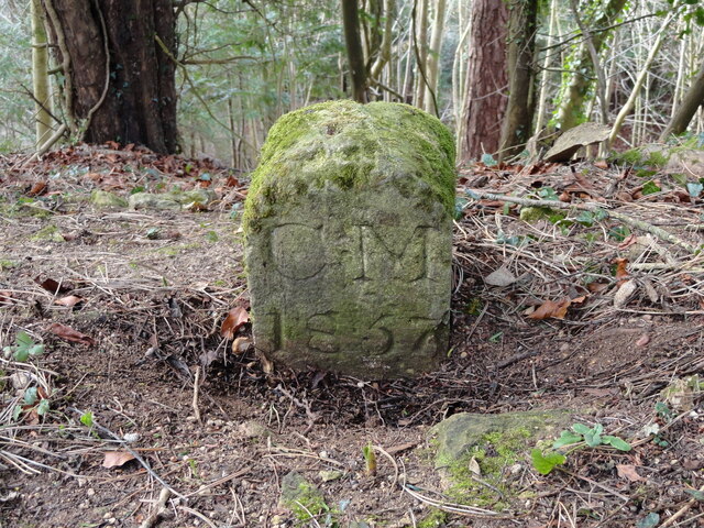
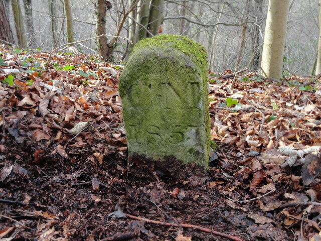
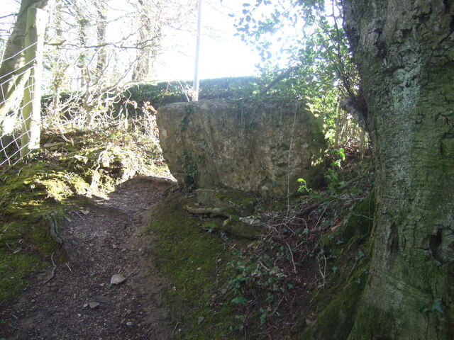
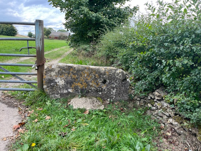
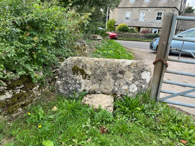
In addition to its natural beauty, Witcombe Wood has a rich historical significance. The area has evidence of human activity dating back to the Bronze Age, with several ancient burial mounds and earthworks still visible within the wood. These historical features add an extra layer of intrigue and fascination for those interested in the region's past.
Overall, Witcombe Wood is a stunning natural gem in Gloucestershire, offering a tranquil escape from urban life and providing a haven for wildlife and outdoor enthusiasts alike.
If you have any feedback on the listing, please let us know in the comments section below.
Witcombe Wood Images
Images are sourced within 2km of 51.82283/-2.1313455 or Grid Reference SO9113. Thanks to Geograph Open Source API. All images are credited.
Witcombe Wood is located at Grid Ref: SO9113 (Lat: 51.82283, Lng: -2.1313455)
Administrative County: Gloucestershire
District: Tewkesbury
Police Authority: Gloucestershire
What 3 Words
///roof.backfired.shifters. Near Shurdington, Gloucestershire
Nearby Locations
Related Wikis
Great Witcombe
Great Witcombe is a village and civil parish 5 miles (8 km) south east of Gloucester, in the Tewkesbury district, in the county of Gloucestershire, England...
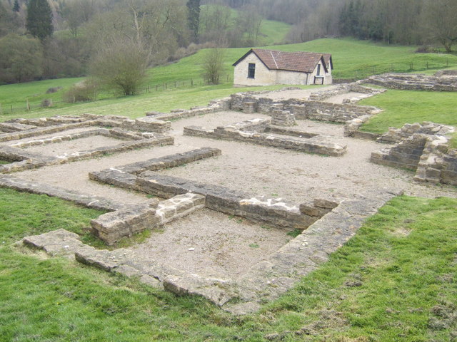
Great Witcombe Roman Villa
Great Witcombe Roman Villa was a villa built during the Roman occupation of Britain. It is located on a hillside at Great Witcombe, near Gloucester in...

Cotswold Commons and Beechwoods
Cotswold Commons and Beechwoods (grid reference SO900130) is a 665.5-hectare (1,644-acre) biological Site of Special Scientific Interest in Gloucestershire...
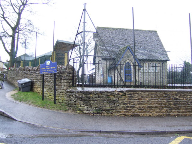
Birdlip
Birdlip is a village and civil parish, in the Cotswold district, in the county of Gloucestershire, England. It is in the Cotswolds Area of Outstanding...
Related Videos

A Breathtaking Walk in a Cotswold Village with Dramatic Views
So, today we are out and about walking in the small Cotswold village of Sheepscombe which is located approximately 10 km (6.5 ...

Walking in the English Countryside on the Last of the Winter Snow
So, today we are out and about walking (and a bit of running - not through choice!) in the countryside within the location of Birdlip ...
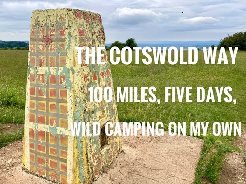
Cotswold Way - five days, on my own and wild camping.
This is a video following my walk on the Cotswold Way In late June 2021. I took five days and wild camped three out of the four ...

ROAD TRIP: Down Birdlip Hill Gloucestershire: 17th NOVEMBER 2023! 🚗🚗🚗 #travel #car #cars
Created by InShot:https://inshotapp.page.link/YTShare.
Nearby Amenities
Located within 500m of 51.82283,-2.1313455Have you been to Witcombe Wood?
Leave your review of Witcombe Wood below (or comments, questions and feedback).