West Wood

Wood, Forest in Wiltshire

England

West Wood

Entering Chicklade on the A303 The A303 is a main trunk road running 92 miles between Basingstoke and Honiton. Along with the A30 and M3 it forms a major route between London and the South West. Much of the road is dual carriageway, but some stretches remain single and prone to congestion.

Wikipedia: <span class="nowrap"><a title="http://en.wikipedia.org/wiki/A303_road" rel="nofollow ugc noopener" href="http://en.wikipedia.org/wiki/A303_road">Link</a><img style="margin-left:2px;" alt="External link" title="External link - shift click to open in new window" src="https://s1.geograph.org.uk/img/external.png" width="10" height="10"/></span>
Entering Chicklade on the A303 Credit: N Chadwick

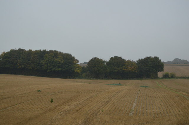
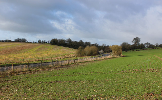
West Wood is a large forest located in the county of Wiltshire, England. Covering an area of approximately 4.5 square kilometers, it is known for its dense woodland and diverse wildlife. The forest is situated near the village of Lockeridge, just south of the Marlborough Downs.

As one of the largest remaining areas of ancient woodland in Wiltshire, West Wood holds great ecological significance. The forest is dominated by a mix of broadleaf trees, including oak, beech, and ash, which create a stunning canopy above the forest floor. This rich and varied habitat supports a wide range of flora and fauna, including rare species such as the lesser spotted woodpecker and the silver-washed fritillary butterfly.

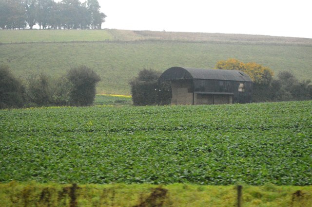
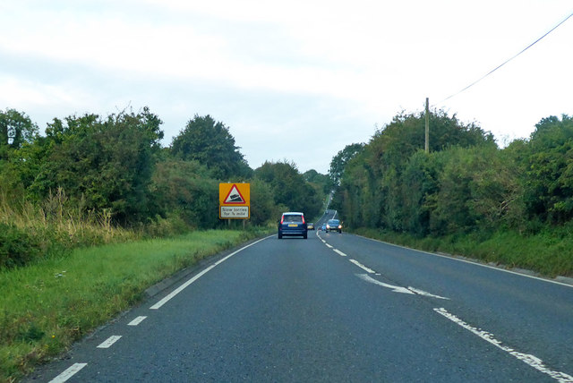
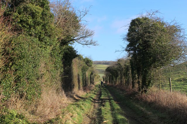
The forest is crisscrossed by a network of footpaths and trails, making it a popular destination for walking and hiking enthusiasts. The paths wind through the woodland, offering visitors the chance to immerse themselves in the tranquility of nature and enjoy the beauty of their surroundings. West Wood also attracts birdwatchers and nature lovers, who come to observe the diverse array of bird species and other wildlife that call the forest home.

Additionally, West Wood has a long history, with archaeological evidence suggesting human activity in the area dating back to the Neolithic period. The forest is dotted with ancient earthworks, burial mounds, and remnants of old settlements, providing a fascinating glimpse into the past.

Overall, West Wood is a captivating natural environment that offers both recreational opportunities and ecological importance. Its picturesque woodland, diverse wildlife, and historical significance make it a cherished part of the Wiltshire landscape.

If you have any feedback on the listing, please let us know in the comments section below.

West Wood Images

Images are sourced within 2km of 51.123382/-2.1296053 or Grid Reference ST9136. Thanks to Geograph Open Source API. All images are credited.

Entering Chicklade on the A303 The A303 is a main trunk road running 92 miles between Basingstoke and Honiton. Along with the A30 and M3 it forms a major route between London and the South West. Much of the road is dual carriageway, but some stretches remain single and prone to congestion.

Wikipedia: <span class="nowrap"><a title="http://en.wikipedia.org/wiki/A303_road" rel="nofollow ugc noopener" href="http://en.wikipedia.org/wiki/A303_road">Link</a><img style="margin-left:2px;" alt="External link" title="External link - shift click to open in new window" src="https://s1.geograph.org.uk/img/external.png" width="10" height="10"/></span>
Entering Chicklade on the A303
The A303 is a main trunk road running 92 miles between Basingstoke and Honiton. Along with the A30 and M3 it forms a major route between London and the South West. Much of the road is dual carriageway, but some stretches remain single and prone to congestion. Wikipedia: LinkExternal link
A303, Chicklade The A303 is a main trunk road running 92 miles between Basingstoke and Honiton. Along with the A30 and M3 it forms a major route between London and the South West. Much of the road is dual carriageway, but some stretches remain single and prone to congestion.

Wikipedia: <span class="nowrap"><a title="http://en.wikipedia.org/wiki/A303_road" rel="nofollow ugc noopener" href="http://en.wikipedia.org/wiki/A303_road">Link</a><img style="margin-left:2px;" alt="External link" title="External link - shift click to open in new window" src="https://s1.geograph.org.uk/img/external.png" width="10" height="10"/></span>
A303, Chicklade
The A303 is a main trunk road running 92 miles between Basingstoke and Honiton. Along with the A30 and M3 it forms a major route between London and the South West. Much of the road is dual carriageway, but some stretches remain single and prone to congestion. Wikipedia: LinkExternal link
Murco filling station, A303 The A303 is a main trunk road running 92 miles between Basingstoke and Honiton. Along with the A30 and M3 it forms a major route between London and the South West. Much of the road is dual carriageway, but some stretches remain single and prone to congestion.

Wikipedia: <span class="nowrap"><a title="http://en.wikipedia.org/wiki/A303_road" rel="nofollow ugc noopener" href="http://en.wikipedia.org/wiki/A303_road">Link</a><img style="margin-left:2px;" alt="External link" title="External link - shift click to open in new window" src="https://s1.geograph.org.uk/img/external.png" width="10" height="10"/></span>
Murco filling station, A303
The A303 is a main trunk road running 92 miles between Basingstoke and Honiton. Along with the A30 and M3 it forms a major route between London and the South West. Much of the road is dual carriageway, but some stretches remain single and prone to congestion. Wikipedia: LinkExternal link
A303, eastbound The A303 is a main trunk road running 92 miles between Basingstoke and Honiton. Along with the A30 and M3 it forms a major route between London and the South West. Much of the road is dual carriageway, but some stretches remain single and prone to congestion.

Wikipedia: <span class="nowrap"><a title="http://en.wikipedia.org/wiki/A303_road" rel="nofollow ugc noopener" href="http://en.wikipedia.org/wiki/A303_road">Link</a><img style="margin-left:2px;" alt="External link" title="External link - shift click to open in new window" src="https://s1.geograph.org.uk/img/external.png" width="10" height="10"/></span>
A303, eastbound
The A303 is a main trunk road running 92 miles between Basingstoke and Honiton. Along with the A30 and M3 it forms a major route between London and the South West. Much of the road is dual carriageway, but some stretches remain single and prone to congestion. Wikipedia: LinkExternal link
Murco filling station The A303 is a main trunk road running 92 miles between Basingstoke and Honiton. Along with the A30 and M3 it forms a major route between London and the South West. Much of the road is dual carriageway, but some stretches remain single and prone to congestion.

Wikipedia: <span class="nowrap"><a title="http://en.wikipedia.org/wiki/A303_road" rel="nofollow ugc noopener" href="http://en.wikipedia.org/wiki/A303_road">Link</a><img style="margin-left:2px;" alt="External link" title="External link - shift click to open in new window" src="https://s1.geograph.org.uk/img/external.png" width="10" height="10"/></span>
Murco filling station
The A303 is a main trunk road running 92 miles between Basingstoke and Honiton. Along with the A30 and M3 it forms a major route between London and the South West. Much of the road is dual carriageway, but some stretches remain single and prone to congestion. Wikipedia: LinkExternal link
Barn by the A303
Barn by the A303
Trees by Chicklade Dairy
By the A303
By the A303
Crops south of the A303
Barn, Berwick Down
Barn, Berwick Down
Cold Berwick Hill
Cold Berwick Hill
Minor road off the A303, Chicklade
Chicklade Service Station It has been rebuilt in the last year or so
Chicklade Service Station
It has been rebuilt in the last year or so
The A303, Chicklade By the service station
The A303, Chicklade
By the service station
A303 heading west, Chicklade The former school is on the left.
A303 heading west, Chicklade
The former school is on the left.
A303 heading west Slow lorries for 3/4 mile.
A303 heading west
Slow lorries for 3/4 mile.
A303, Chicklade Bottom As seen from the Wessex Ridgeway, after crossing the A303
A303, Chicklade Bottom
As seen from the Wessex Ridgeway, after crossing the A303
Ox Drove Adopted by the Wessex Ridgeway at this point, as it descends to Chicklade Bottom.
As the name suggests, this is an old cattle drove road - although the actual route is much more ancient than that.
Ox Drove
Adopted by the Wessex Ridgeway at this point, as it descends to Chicklade Bottom. As the name suggests, this is an old cattle drove road - although the actual route is much more ancient than that.
Show me another place!

West Wood is located at Grid Ref: ST9136 (Lat: 51.123382, Lng: -2.1296053)

Unitary Authority: Wiltshire

Police Authority: Wiltshire

What 3 Words

///path.rules.mole. Near Chicklade, Wiltshire

Related Wikis

1963 BAC One-Eleven test crash

The 1963 BAC One-Eleven test crash was a fatal accident of a British Aircraft Corporation prototype aircraft on 22 October 1963, near Chicklade in Wiltshire...

Chicklade

Chicklade is a small village and civil parish in Wiltshire, South West England. The village is on the A303 road, about 7 miles (11 km) south of Warminster...

Great Ridge Wood

Great Ridge Wood, formerly also known as Chicklade Wood, is one of the largest woodlands in southern Wiltshire, England. Mostly within the parishes of...

Tytherington Down

Tytherington Down (grid reference ST912385) is a 5.9 hectares (15 acres) biological Site of Special Scientific Interest in Wiltshire, England, notified...

Have you been to West Wood?

Leave your review of West Wood below (or comments, questions and feedback).