Terrace Wood
Wood, Forest in Wiltshire
England
Terrace Wood
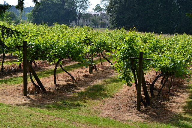
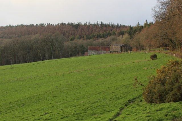
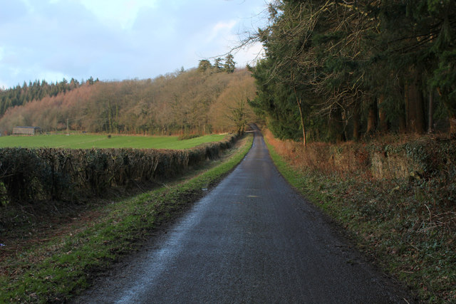
Terrace Wood is a picturesque forest located in the county of Wiltshire, England. Situated near the charming village of Terrace, this woodland covers an area of approximately 100 acres. It is a popular destination for nature enthusiasts, walkers, and families seeking a peaceful retreat.
The wood is primarily composed of a mixture of deciduous and coniferous trees, including oak, beech, pine, and silver birch. This diversity of tree species creates a rich and varied ecosystem, providing a habitat for a wide range of animal and plant life. Visitors can expect to encounter an array of wildlife, such as deer, foxes, badgers, and numerous bird species.
The forest is crisscrossed by a network of well-maintained trails, making it accessible for hikers of all abilities. These paths offer visitors the opportunity to explore the wood's enchanting beauty, providing glimpses of babbling brooks, hidden glades, and vibrant wildflowers. Additionally, there are several picnic areas and benches scattered throughout the wood, allowing visitors to relax and enjoy the tranquil surroundings.
Terrace Wood is also home to a diverse range of flora, with patches of bluebells, primroses, and wood anemones carpeting the forest floor during springtime. This explosion of color attracts many photographers and nature lovers, who flock to the wood to capture its natural beauty.
Overall, Terrace Wood in Wiltshire is a captivating and idyllic forest, offering visitors a chance to connect with nature and escape the hustle and bustle of everyday life. Whether it's a leisurely stroll, a family picnic, or wildlife spotting, this woodland provides a serene and enchanting retreat for all who visit.
If you have any feedback on the listing, please let us know in the comments section below.
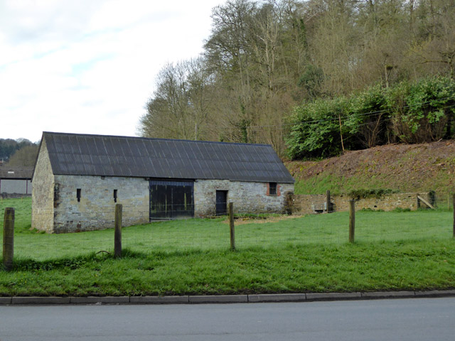
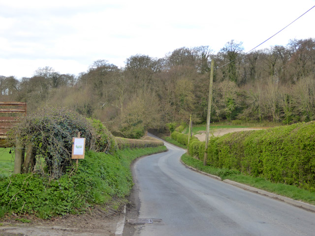
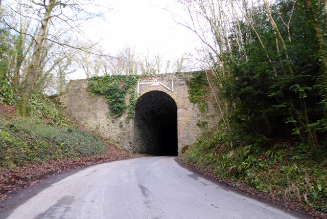
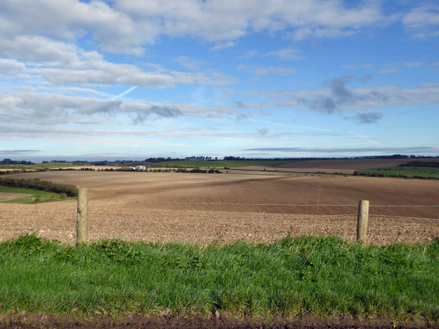
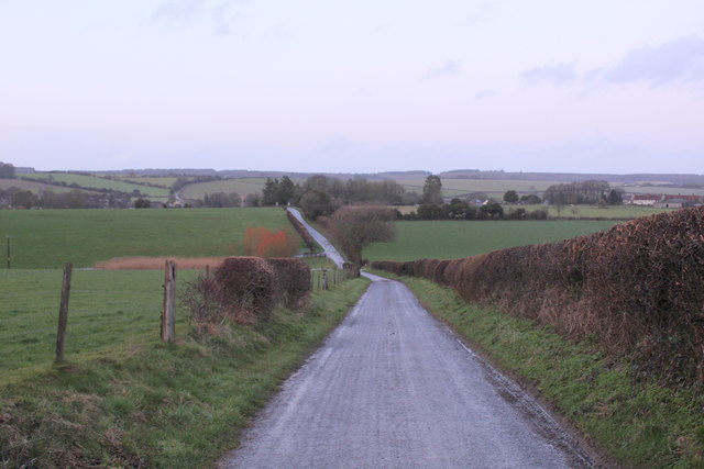
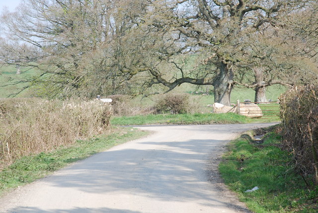
Terrace Wood Images
Images are sourced within 2km of 51.084114/-2.1295525 or Grid Reference ST9131. Thanks to Geograph Open Source API. All images are credited.


Terrace Wood is located at Grid Ref: ST9131 (Lat: 51.084114, Lng: -2.1295525)
Unitary Authority: Wiltshire
Police Authority: Wiltshire
What 3 Words
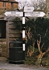
///starring.lunching.complains. Near Hindon, Wiltshire
Nearby Locations
Related Wikis
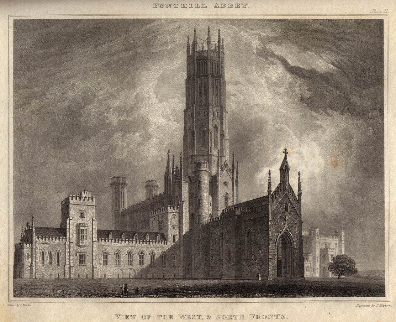
Fonthill Abbey
Fonthill Abbey—also known as Beckford's Folly—was a large Gothic Revival country house built between 1796 and 1813 at Fonthill Gifford in Wiltshire, England...

Hindon, Wiltshire
Hindon is a village and civil parish in Wiltshire, England, about 16 miles (26 km) west of Salisbury and 9.6 miles (15.4 km) south of Warminster. It is...
Fonthill Gifford
Fonthill Gifford is a village and civil parish in Wiltshire, England, to the north of the Nadder valley, 14 miles (23 km) west of Salisbury. == History... ==

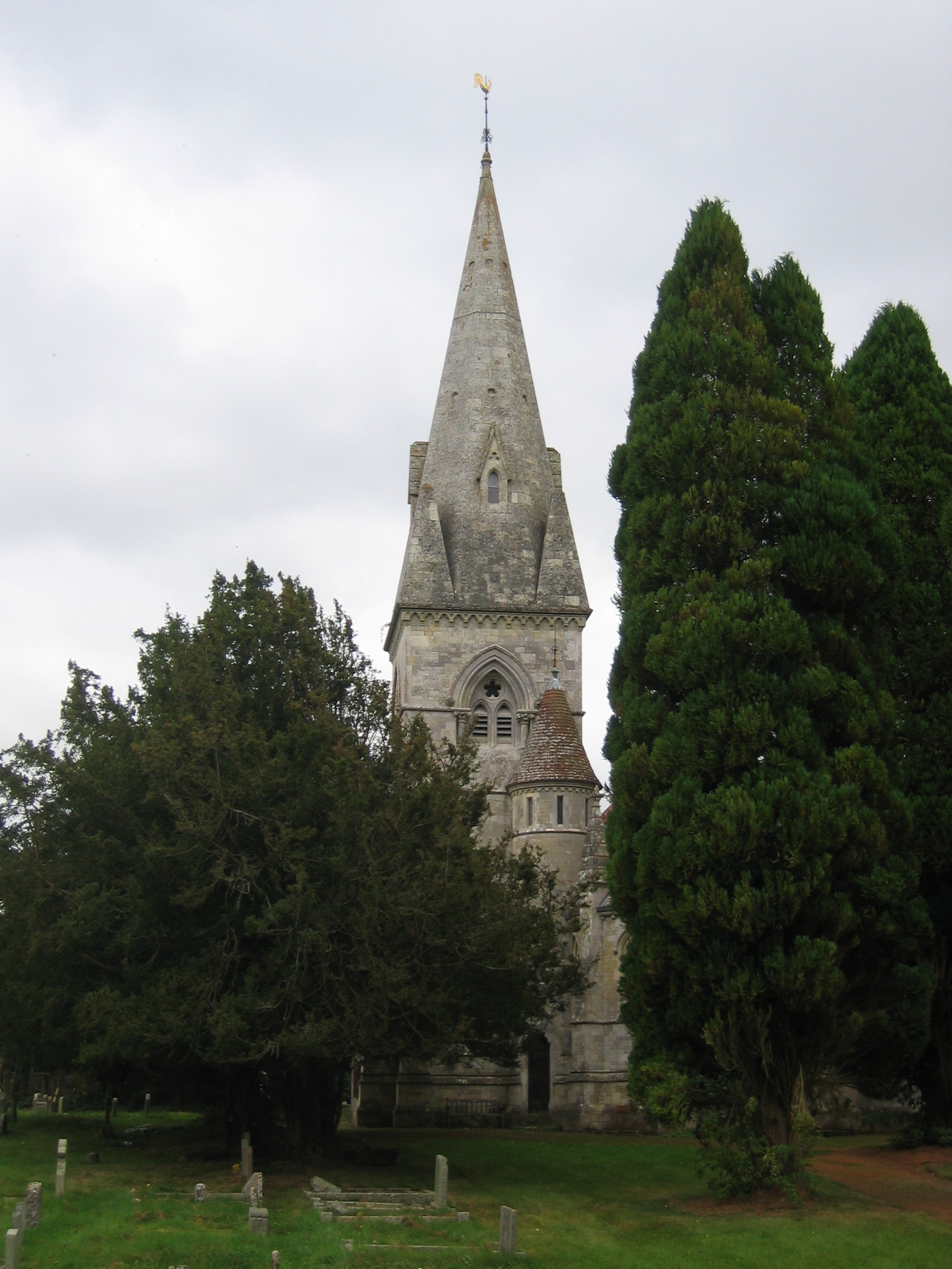
St Leonard's Church, Berwick St Leonard
St Leonard's Church in Berwick St Leonard, Wiltshire, England, was built in the 12th century. It is recorded in the National Heritage List for England...

Berwick St Leonard
Berwick St Leonard is a small village and civil parish in Wiltshire, England, about 8 miles (13 km) southeast of Warminster and 14 miles (23 km) west of...

Fonthill Lake
Fonthill Lake (grid reference ST933319) is a lake in southwest Wiltshire, England. It lies just to the south of the village of Fonthill Bishop, east of...
West Tisbury, Wiltshire
West Tisbury is a civil parish in southwest Wiltshire, England. The parish takes in the southwestern quarter of the village of Tisbury and extends about...

Fonthill Bishop
Fonthill Bishop is a small village and civil parish in Wiltshire, England, to the north of the Nadder valley and 9 miles (14 km) south of Warminster. The...
Have you been to Terrace Wood?
Leave your review of Terrace Wood below (or comments, questions and feedback).