Stanton Hall

Heritage Site in Derbyshire Derbyshire Dales

England

Stanton Hall

Leaning oak Wind-blown on Stanton Moor.
Leaning oak Credit: David Lally

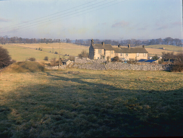
Stanton Hall, located in Derbyshire, England, is a historical monument and a prominent heritage site that attracts numerous visitors every year. Originally built in the 17th century, the hall stands as a testament to the architectural brilliance of its time.

The hall is a fine example of Elizabethan architecture, characterized by its symmetrical design, impressive stone façade, and ornate detailing. The exterior of the building is adorned with elegant carvings and intricate stonework, showcasing the craftsmanship of the era. The hall's large windows allow ample natural light to flood the interior, creating a warm and inviting atmosphere.

Inside Stanton Hall, visitors can explore its well-preserved rooms, each reflecting the grandeur and opulence of the past. The hall features a magnificent Great Hall, adorned with impressive tapestries, antique furniture, and a stunning fireplace. The Drawing Room boasts beautiful plasterwork and an exquisite collection of artwork.

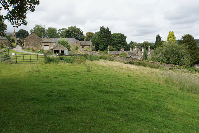
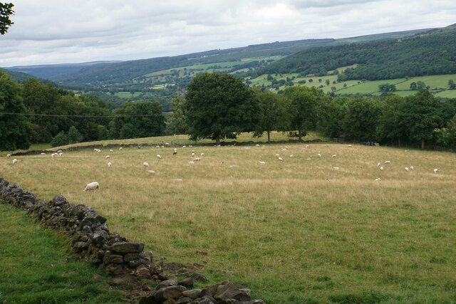
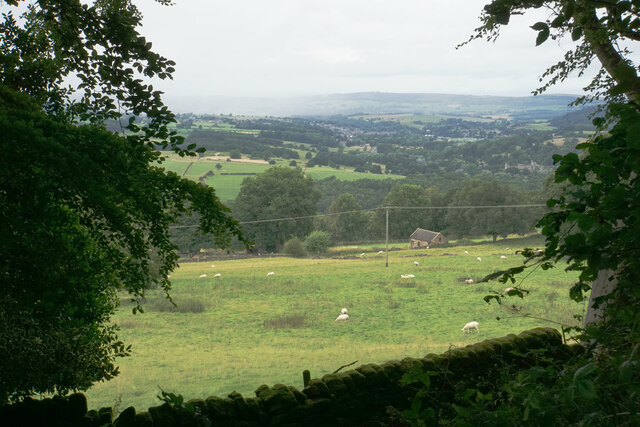
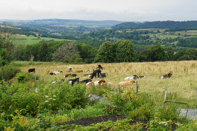
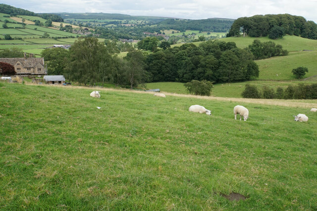
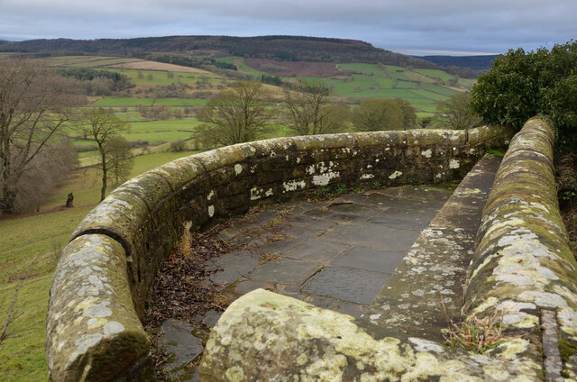
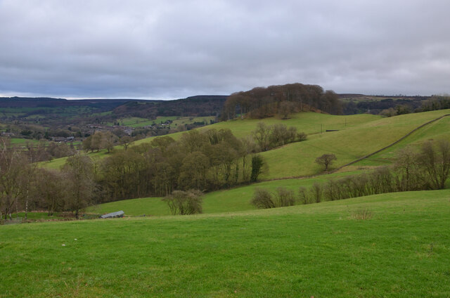
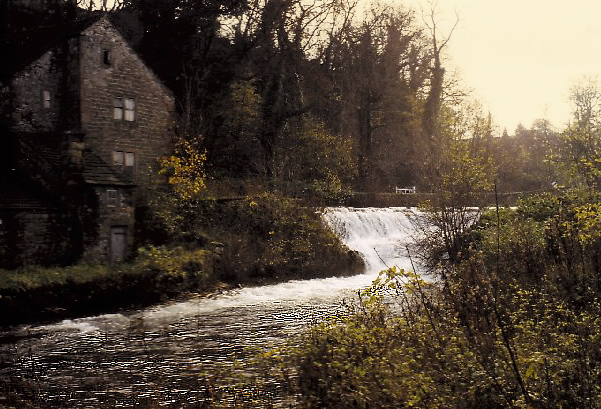
The gardens surrounding Stanton Hall are equally awe-inspiring. With well-manicured lawns, vibrant flowerbeds, and picturesque pathways, the gardens provide a serene and tranquil setting. Visitors can take leisurely strolls, enjoying the beauty of the landscape and taking in the breathtaking views of the surrounding countryside.

Stanton Hall is not only a visual delight but also a significant historical landmark. It has witnessed centuries of events and has been home to notable figures throughout its existence. With its rich history, architectural splendor, and stunning natural surroundings, Stanton Hall offers visitors a captivating glimpse into the past and a truly unforgettable experience.

If you have any feedback on the listing, please let us know in the comments section below.
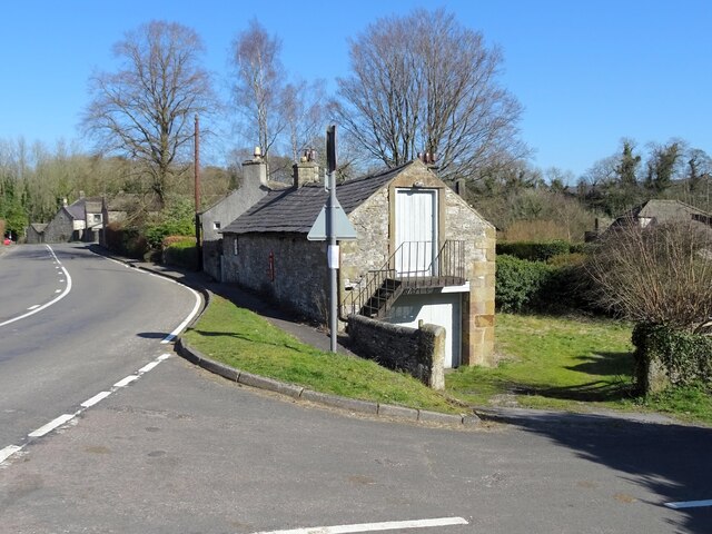
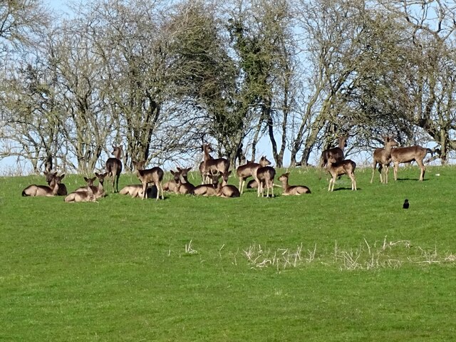
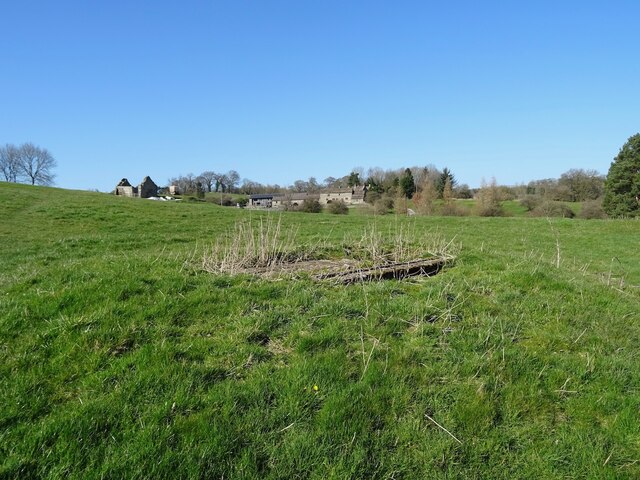
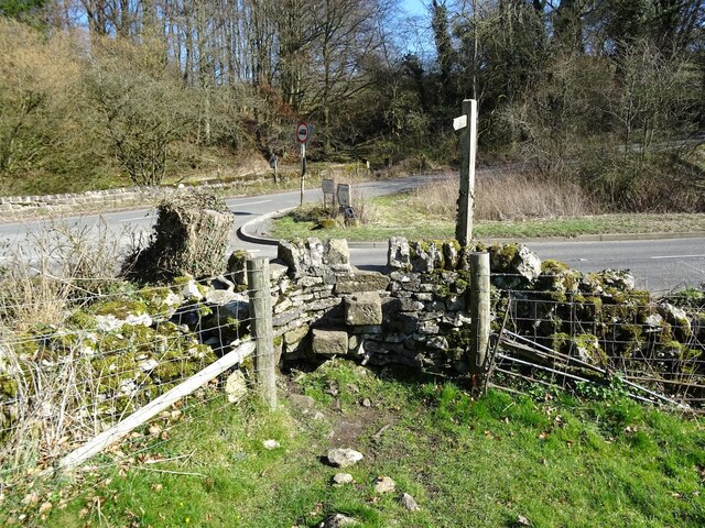
Stanton Hall Images

Images are sourced within 2km of 53.177/-1.648 or Grid Reference SK2364. Thanks to Geograph Open Source API. All images are credited.

Leaning oak Wind-blown on Stanton Moor.
Leaning oak
Wind-blown on Stanton Moor.
Broadmeadow Shaft Adjacent to the cottages here, which were once the offices of the Alport Mining Company, can be seen a large mound which marks the site of the Broadmeadow Shaft on the Alport mines. This company was an amalgamation of various separate mining concerns and operated the very rich lead mines of this area. They were classed as the most heavily watered mines in the country and suffered from inflows of more than 6000 gallons a minute. Consequently, heavy pumping was necessary, chiefly by water pressure engines which used a column of water to power them. The well known Cornish engineer, Richard Trevithick was consulted and he was responsible for the first of many such underground machines within this region. Water to power the engine in this shaft was taken from the River Lathkill and over Alport village in wooden launders and then by a tunnel to the shaft. All the pumped water, along with that used by the engines (of which there were upwards of seven scattered throughout the workings) was drained away by the deep Hillcarr Sough, a tunnel driven from the River Derwent near Darley Dale.
Broadmeadow Shaft
Adjacent to the cottages here, which were once the offices of the Alport Mining Company, can be seen a large mound which marks the site of the Broadmeadow Shaft on the Alport mines. This company was an amalgamation of various separate mining concerns and operated the very rich lead mines of this area. They were classed as the most heavily watered mines in the country and suffered from inflows of more than 6000 gallons a minute. Consequently, heavy pumping was necessary, chiefly by water pressure engines which used a column of water to power them. The well known Cornish engineer, Richard Trevithick was consulted and he was responsible for the first of many such underground machines within this region. Water to power the engine in this shaft was taken from the River Lathkill and over Alport village in wooden launders and then by a tunnel to the shaft. All the pumped water, along with that used by the engines (of which there were upwards of seven scattered throughout the workings) was drained away by the deep Hillcarr Sough, a tunnel driven from the River Derwent near Darley Dale.
Stanton Woodhouse A manor house and farm in the Haddon estate.
Stanton Woodhouse
A manor house and farm in the Haddon estate.
Sheep above Stanton Woodhouse Looking up the Derwent valley.
Sheep above Stanton Woodhouse
Looking up the Derwent valley.
Cottages in Stanton in Peak A long thin village climbing the hillside. A shower is passing a couple of miles to the north.
Cottages in Stanton in Peak
A long thin village climbing the hillside. A shower is passing a couple of miles to the north.
Field near Stanton in Peak A view from the top of the village, which is off to the left.
Field near Stanton in Peak
A view from the top of the village, which is off to the left.
Cottages in Stanton in Peak Near the bottom of the long thin village.
Cottages in Stanton in Peak
Near the bottom of the long thin village.
Field at Stanton in Peak Right at the bottom of the village.
Field at Stanton in Peak
Right at the bottom of the village.
Stanton in Peak From the bottom of the village looking up. The spire of Holy Trinity Church is seen but the village continues quite a long way past that.
Stanton in Peak
From the bottom of the village looking up. The spire of Holy Trinity Church is seen but the village continues quite a long way past that.
Stanton in Peak The village pub, the Flying Childers, is straight ahead, and the spire of Holy Trinity Church is behind.
Stanton in Peak
The village pub, the Flying Childers, is straight ahead, and the spire of Holy Trinity Church is behind.
Allotments and cattle at Stanton in Peak Looking down on the valley of the River Wye where Haddon Hall can be seen.
Allotments and cattle at Stanton in Peak
Looking down on the valley of the River Wye where Haddon Hall can be seen.
Sheep above Congreave Looking towards Rowsley down the Wye valley.
Sheep above Congreave
Looking towards Rowsley down the Wye valley.
Viewpoint by Pilhough Lane, near Stanton, Derbyshire A viewing point over the lower valley of the River Wye in the Derbyshire Peak District.
Viewpoint by Pilhough Lane, near Stanton, Derbyshire
A viewing point over the lower valley of the River Wye in the Derbyshire Peak District.
Pastures at Congreave, near Rowsley, Derbyshire
Old barn on the edge of Alport Not yet converted into a luxury residence.
Old barn on the edge of Alport
Not yet converted into a luxury residence.
A herd of deer
A herd of deer
Old lead shaft capped with concrete Harthill Hall is in the background
Old lead shaft capped with concrete
Harthill Hall is in the background
Step stile and fingerpost Off the B5056 at the junction with Birchover Road.
Step stile and fingerpost
Off the B5056 at the junction with Birchover Road.
Show me another place!

Stanton Hall is located at Grid Ref: SK2364 (Lat: 53.177, Lng: -1.648)

Administrative County: Derbyshire

District: Derbyshire Dales

Police Authority: Derbyshire

What 3 Words

///dripping.squashes.rural. Near Youlgreave, Derbyshire

Related Wikis

Stanton in Peak

Stanton in Peak (also written as Stanton-in-Peak) is a village in the Derbyshire Dales district of Derbyshire, It is about seven miles north-west of Matlock...

Holy Trinity Church, Stanton-in-Peak

Holy Trinity Church, Stanton-in-Peak is a Grade II listed parish church in the Church of England in Stanton in Peak, Derbyshire. == History == The church...

Stanton Hall, Stanton in Peak

Stanton Hall is a privately owned country house at Stanton in Peak in the Derbyshire Peak District, the home of the Davie-Thornhill family. It is a Grade...

Harthill Hall

Harthill Hall was formerly the Manor House of a great 13th century Estate, and the hall is now a Grade II listed building within the civil parish of Harthill...

River Lathkill

The River Lathkill is a river in the Peak District National Park in Derbyshire, England. First recorded in 1280, the name "Lathkill" possibly has Scandinavian...

Alport

Alport is a hamlet in the White Peak area of Derbyshire, England. It lies east of Youlgreave, at the confluence of the River Bradford and the River Lathkill...

Harthill, Derbyshire

Harthill is a civil parish within the Derbyshire Dales district, in the county of Derbyshire, England. Largely rural, along with parts of the neighbouring...
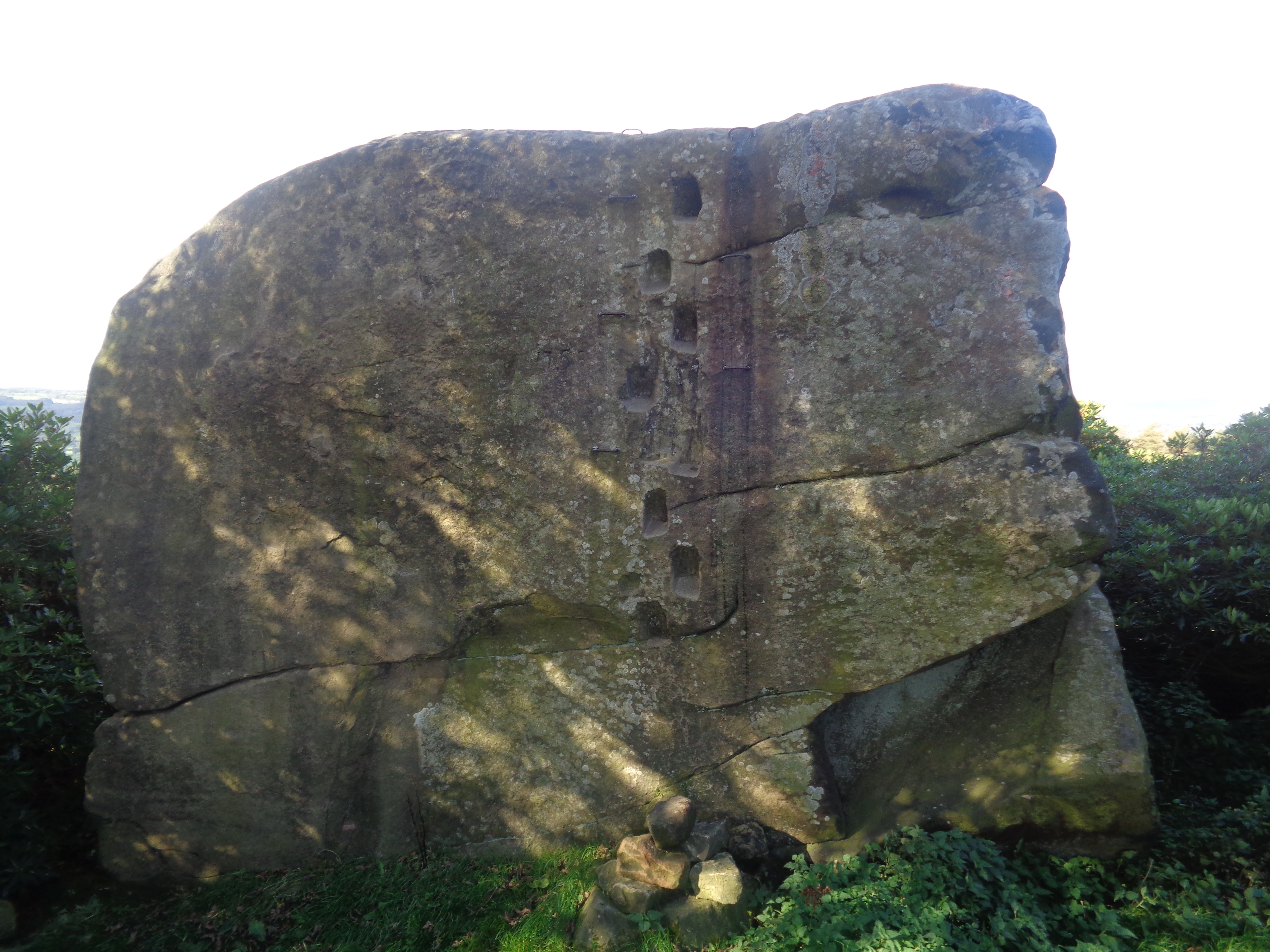
Andle Stone

The Andle Stone is a large gritstone boulder on Stanton Moor in Derbyshire. The stone block is 6m long, 4m high and lies within a low, circular, dry stone...

Nearby Amenities

Located within 500m of 53.177,-1.648
Pub
Flying Childers
Addr City: Matlock
Addr Postcode: DE4 2LW
Addr Street: Main Road
Addr Village: Stanton-in-Peak
Dog: yes
Fhrs Id: 1626313
Lunch: We-Su 12:00-14:00
Opening Hours: Mo-Tu 19:00-23:00; We-Fr 12:00-14:00, 19:00-23:00; Sa-Su 12:00-15:00, 19:00-23:00
Outdoor Seating: yes
Real Ale: yes
Website: https://flyingchilders.com
Wikidata: Q26619629
Lat/Long: 53.1753378/-1.6416433
Post Box
Operator: Royal Mail
Post Box Type: lamp
Ref: DE4 980
Royal Cypher: EIIR
Royal Cypher Wikidata: Q33102113
Lat/Long: 53.1754449/-1.6410091
Barrier: stile
Material: wood
Source: survey;gps
Stile: stepover
Lat/Long: 53.1756602/-1.6470111
Addr Housename: Hawthorn House
Lat/Long: 53.1755132/-1.641458
Bench: yes
Bus: yes
Public Transport: stop_position
Shelter: yes
Lat/Long: 53.1754483/-1.6410344
The data included in this document is from www.openstreetmap.org. The data is made available under ODbL.

Have you been to Stanton Hall?

Leave your review of Stanton Hall below (or comments, questions and feedback).