Shiningbank Wood
Wood, Forest in Derbyshire Derbyshire Dales
England
Shiningbank Wood
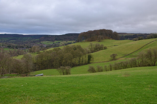
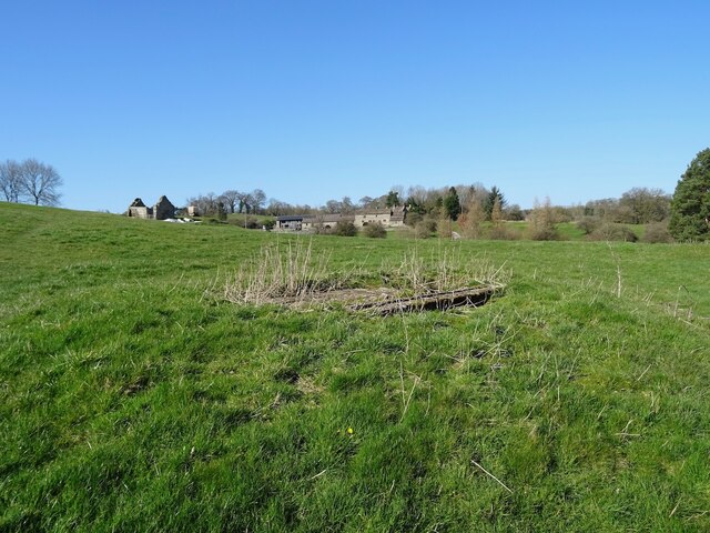
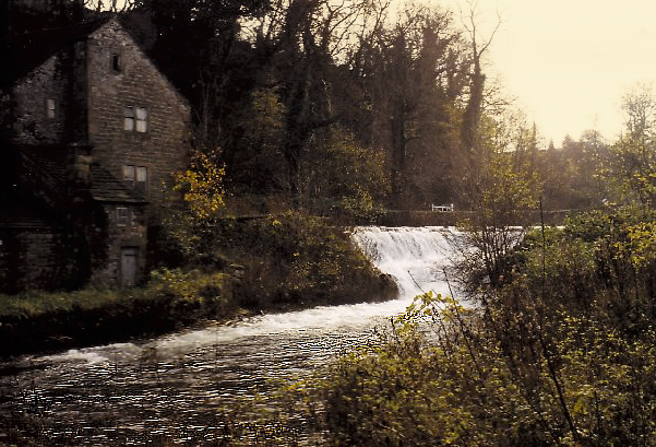
Shiningbank Wood is a picturesque woodland located in Derbyshire, England. Covering an area of approximately 50 hectares, it is a popular destination for nature enthusiasts, hikers, and birdwatchers alike. The wood is situated on a gentle slope, with the River Dove flowing nearby, creating a tranquil and serene atmosphere.
The woodland is dominated by a mix of broadleaf trees, including oak, birch, and beech, which provide a dense canopy that filters sunlight, creating a dappled effect on the forest floor. The understory consists of various shrubs, ferns, and wildflowers, adding to the diversity of the ecosystem.
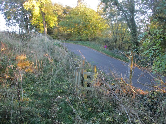
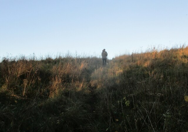
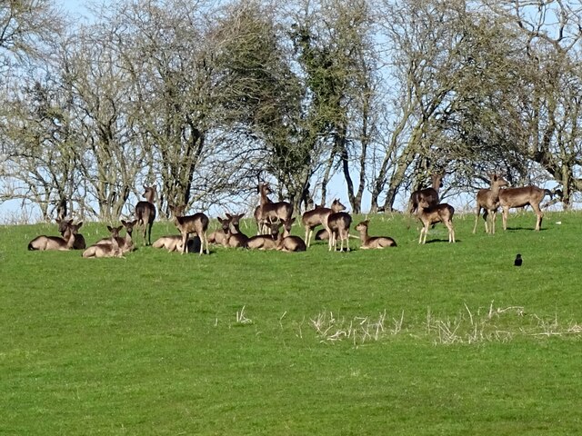
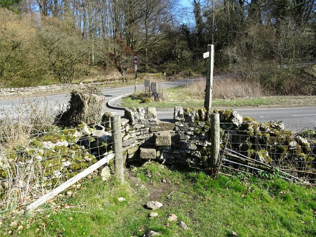
A network of well-maintained footpaths and trails wind their way through the wood, allowing visitors to explore its natural beauty. Along these paths, one can encounter a variety of wildlife, including squirrels, foxes, and a wide array of bird species. Birdwatchers may be particularly delighted to spot the elusive Eurasian jay or the colorful great spotted woodpecker.
Shiningbank Wood also holds historical significance, as it was once part of the ancient Needwood Forest, which covered a vast area of Staffordshire and Derbyshire. Today, it stands as a remnant of this ancient forest and provides a glimpse into the region's rich ecological and cultural heritage.
With its idyllic scenery, abundant wildlife, and historical value, Shiningbank Wood offers a peaceful retreat for nature lovers and a perfect opportunity to immerse oneself in the beauty of Derbyshire's natural landscape.
If you have any feedback on the listing, please let us know in the comments section below.
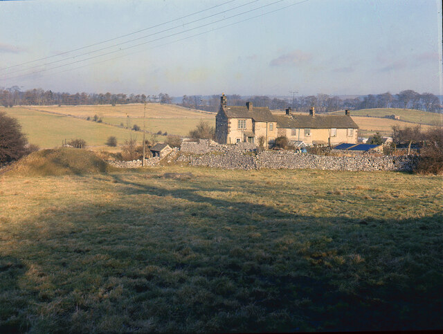
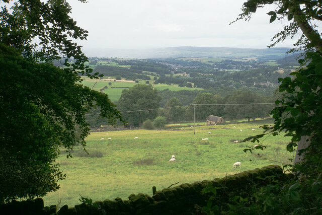
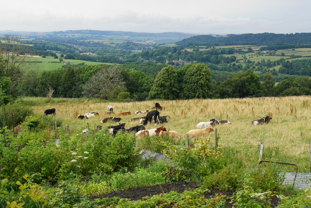
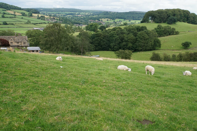
Shiningbank Wood Images
Images are sourced within 2km of 53.18093/-1.6564683 or Grid Reference SK2364. Thanks to Geograph Open Source API. All images are credited.


Shiningbank Wood is located at Grid Ref: SK2364 (Lat: 53.18093, Lng: -1.6564683)
Administrative County: Derbyshire
District: Derbyshire Dales
Police Authority: Derbyshire
What 3 Words
///ever.dignify.calm. Near Youlgreave, Derbyshire
Nearby Locations
Related Wikis

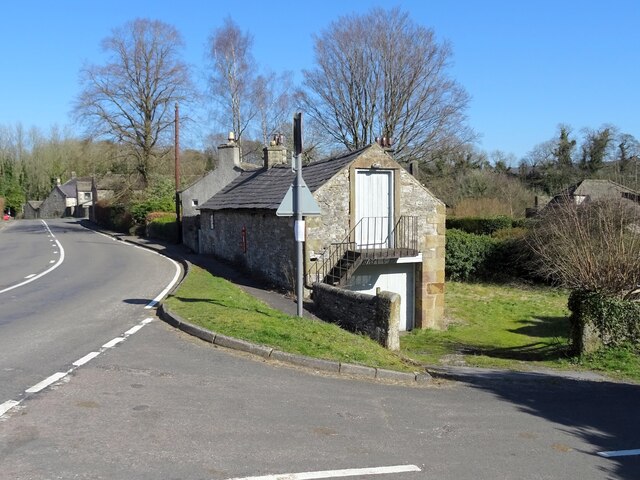
Harthill Hall
Harthill Hall was formerly the Manor House of a great 13th century Estate, and the hall is now a Grade II listed building within the civil parish of Harthill...
Alport
Alport is a hamlet in the White Peak area of Derbyshire, England. It lies east of Youlgreave, at the confluence of the River Bradford and the River Lathkill...

River Bradford
The River Bradford is a river in the Peak District National Park in Derbyshire. Its source is on Gratton Moor and after passing below Youlgreave it joins...

Stanton in Peak
Stanton in Peak (also written as Stanton-in-Peak) is a village in the Derbyshire Dales district of Derbyshire, It is about seven miles north-west of Matlock...

Holy Trinity Church, Stanton-in-Peak
Holy Trinity Church, Stanton-in-Peak is a Grade II listed parish church in the Church of England in Stanton in Peak, Derbyshire. == History == The church...

Stanton Hall, Stanton in Peak
Stanton Hall is a privately owned country house at Stanton in Peak in the Derbyshire Peak District, the home of the Davie-Thornhill family. It is a Grade...
Nether Haddon
Nether Haddon is a sparsely populated village and civil parish in Derbyshire, England. It is immediately downstream along the River Wye from the small...

River Lathkill
The River Lathkill is a river in the Peak District National Park in Derbyshire, England. First recorded in 1280, the name "Lathkill" possibly has Scandinavian...
Nearby Amenities
Located within 500m of 53.18093,-1.6564683Have you been to Shiningbank Wood?
Leave your review of Shiningbank Wood below (or comments, questions and feedback).