Smithy Wood

Wood, Forest in Derbyshire Derbyshire Dales

England

Smithy Wood

Leaning oak Wind-blown on Stanton Moor.
Leaning oak Credit: David Lally

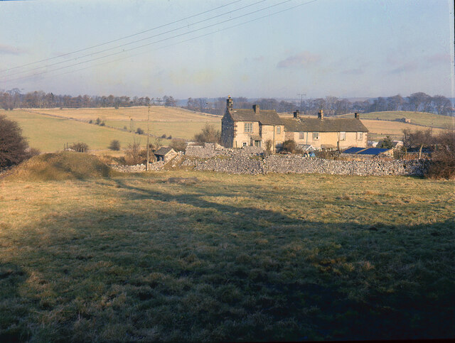
Smithy Wood is a dense and ancient woodland located in the county of Derbyshire, England. Spread over an area of approximately 50 acres, it is a cherished natural site that has been preserved for centuries. The wood is situated near the village of Chapeltown, on the outskirts of Sheffield.

This woodland is known for its rich biodiversity and is home to a diverse range of flora and fauna. The canopy of the wood is dominated by towering oak and beech trees, which provide a lush and green habitat for various species. Underneath the canopy, a carpet of wildflowers, including bluebells and primroses, bloom during the spring season, adding to the wood's charm and beauty.

Smithy Wood has a long history, with evidence of human activity dating back to the Iron Age. The name "Smithy Wood" originates from the presence of a blacksmith's forge in the area during medieval times. The wood was traditionally used for timber and charcoal production, as well as for grazing livestock.

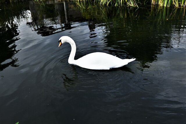
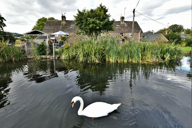
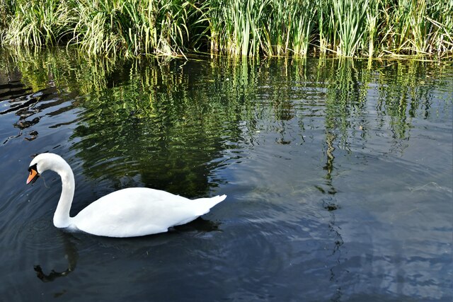
Today, Smithy Wood is a popular destination for nature enthusiasts, hikers, and wildlife photographers. It offers numerous trails and pathways that allow visitors to explore its enchanting landscapes and discover its hidden treasures. The wood is also an important habitat for a variety of bird species, including woodpeckers, owls, and songbirds.

Efforts have been made to protect Smithy Wood from development and ensure its preservation for future generations. Local conservation organizations work tirelessly to maintain the wood's unique ecosystem and educate the public about its significance.

If you have any feedback on the listing, please let us know in the comments section below.
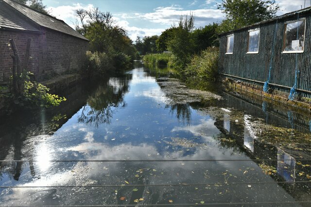
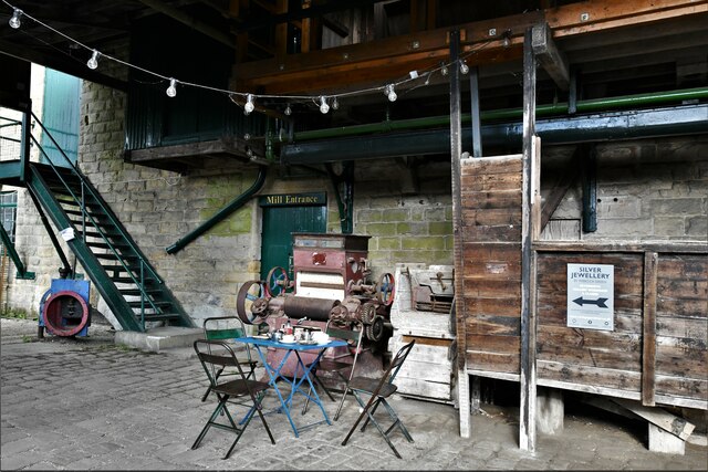
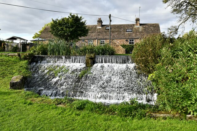
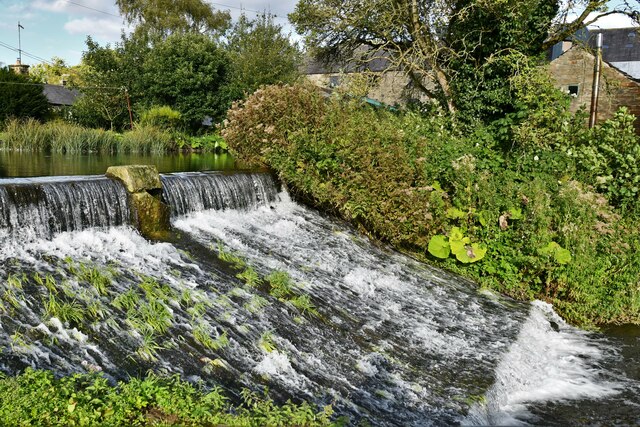
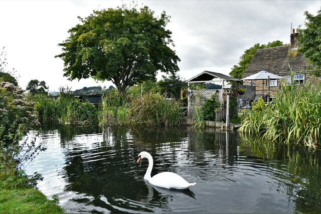
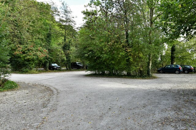
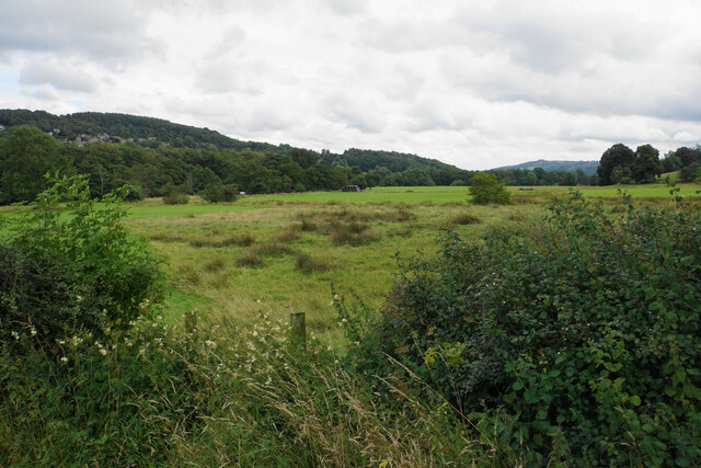
Smithy Wood Images

Images are sourced within 2km of 53.178121/-1.6426208 or Grid Reference SK2364. Thanks to Geograph Open Source API. All images are credited.

Leaning oak Wind-blown on Stanton Moor.
Leaning oak
Wind-blown on Stanton Moor.
Broadmeadow Shaft Adjacent to the cottages here, which were once the offices of the Alport Mining Company, can be seen a large mound which marks the site of the Broadmeadow Shaft on the Alport mines. This company was an amalgamation of various separate mining concerns and operated the very rich lead mines of this area. They were classed as the most heavily watered mines in the country and suffered from inflows of more than 6000 gallons a minute. Consequently, heavy pumping was necessary, chiefly by water pressure engines which used a column of water to power them. The well known Cornish engineer, Richard Trevithick was consulted and he was responsible for the first of many such underground machines within this region. Water to power the engine in this shaft was taken from the River Lathkill and over Alport village in wooden launders and then by a tunnel to the shaft. All the pumped water, along with that used by the engines (of which there were upwards of seven scattered throughout the workings) was drained away by the deep Hillcarr Sough, a tunnel driven from the River Derwent near Darley Dale.
Broadmeadow Shaft
Adjacent to the cottages here, which were once the offices of the Alport Mining Company, can be seen a large mound which marks the site of the Broadmeadow Shaft on the Alport mines. This company was an amalgamation of various separate mining concerns and operated the very rich lead mines of this area. They were classed as the most heavily watered mines in the country and suffered from inflows of more than 6000 gallons a minute. Consequently, heavy pumping was necessary, chiefly by water pressure engines which used a column of water to power them. The well known Cornish engineer, Richard Trevithick was consulted and he was responsible for the first of many such underground machines within this region. Water to power the engine in this shaft was taken from the River Lathkill and over Alport village in wooden launders and then by a tunnel to the shaft. All the pumped water, along with that used by the engines (of which there were upwards of seven scattered throughout the workings) was drained away by the deep Hillcarr Sough, a tunnel driven from the River Derwent near Darley Dale.
Rowsley, Caudwell's Mill: Entrance
Rowsley, Caudwell's Mill: Shop interior 1
Rowsley, Caudwell's Mill: Shop interior 2
Rowsley, Caudwell's Mill: Shop interior 3
Rowsley, Caudwell's Mill: Shop interior 4, products of the mill
Rowsley, Caudwell's Mill: The mill stream
Rowsley, Caudwell's Mill: Entrance to the mill itself
Rowsley, Caudwell's Mill: Outflow from the mill stream
Rowsley, Caudwell's Mill: Swan on the mill head race
Rowsley, Caudwell's Mill: Swan on the mill head race and a three cottage terrace
Rowsley, Caudwell's Mill: The mill head race
Rowsley, Caudwell's Mill: Swan on the mill head race
Rowsley, Caudwell's Mill: Swan on the mill head race and a three cottage terrace
Rowsley, Caudwell's Mill: Large visitors car park
Valley bottom of the River Derwent Part of the flood plain of the Derwent near Rowsley, a little below its confluence with the Wye.
Valley bottom of the River Derwent
Part of the flood plain of the Derwent near Rowsley, a little below its confluence with the Wye.
Show me another place!

Smithy Wood is located at Grid Ref: SK2364 (Lat: 53.178121, Lng: -1.6426208)

Administrative County: Derbyshire

District: Derbyshire Dales

Police Authority: Derbyshire

What 3 Words

///noun.adjusted.hazel. Near Youlgreave, Derbyshire

Related Wikis

Stanton in Peak

Stanton in Peak (also written as Stanton-in-Peak) is a village in the Derbyshire Dales district of Derbyshire, It is about seven miles north-west of Matlock...

Holy Trinity Church, Stanton-in-Peak

Holy Trinity Church, Stanton-in-Peak is a Grade II listed parish church in the Church of England in Stanton in Peak, Derbyshire. == History == The church...

Stanton Hall, Stanton in Peak

Stanton Hall is a privately owned country house at Stanton in Peak in the Derbyshire Peak District, the home of the Davie-Thornhill family. It is a Grade...

Harthill Hall

Harthill Hall was formerly the Manor House of a great 13th century Estate, and the hall is now a Grade II listed building within the civil parish of Harthill...

River Lathkill

The River Lathkill is a river in the Peak District National Park in Derbyshire, England. First recorded in 1280, the name "Lathkill" possibly has Scandinavian...

Nine Ladies

The Nine Ladies is a stone circle located on Stanton Moor in Derbyshire in the English East Midlands. The Nine Ladies is part of a tradition of stone circle...
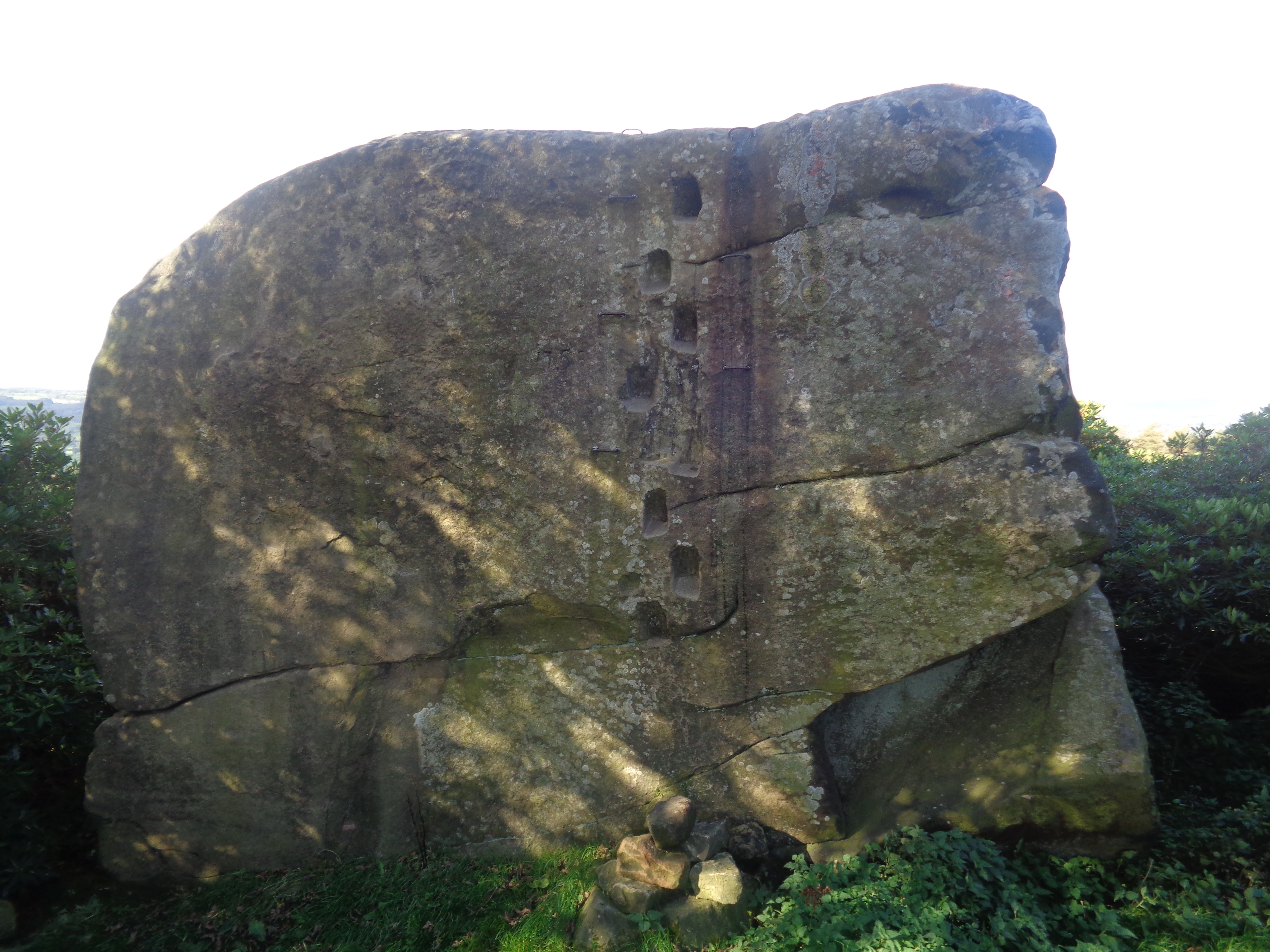
Andle Stone

The Andle Stone is a large gritstone boulder on Stanton Moor in Derbyshire. The stone block is 6m long, 4m high and lies within a low, circular, dry stone...

Nether Haddon

Nether Haddon is a sparsely populated village and civil parish in Derbyshire, England. It is immediately downstream along the River Wye from the small...

Nearby Amenities

Located within 500m of 53.178121,-1.6426208
Stanton-in-Peak
Is In: Derbyshire, England, UK
Place: village
Wikidata: Q280623
Wikipedia: en:Stanton in Peak
Lat/Long: 53.1749317/-1.6400286
Pub
Flying Childers
Addr City: Matlock
Addr Postcode: DE4 2LW
Addr Street: Main Road
Addr Village: Stanton-in-Peak
Dog: yes
Fhrs Id: 1626313
Lunch: We-Su 12:00-14:00
Opening Hours: Mo-Tu 19:00-23:00; We-Fr 12:00-14:00, 19:00-23:00; Sa-Su 12:00-15:00, 19:00-23:00
Outdoor Seating: yes
Real Ale: yes
Website: https://flyingchilders.com
Wikidata: Q26619629
Lat/Long: 53.1753378/-1.6416433
Post Box
Operator: Royal Mail
Ref: DE4 996
Lat/Long: 53.1740247/-1.6397815
Post Box
Operator: Royal Mail
Post Box Type: lamp
Ref: DE4 980
Royal Cypher: EIIR
Royal Cypher Wikidata: Q33102113
Lat/Long: 53.1754449/-1.6410091
Entrance: yes
Lat/Long: 53.1755247/-1.638988
Barrier: stile
Material: wood
Source: survey;gps
Stile: stepover
Lat/Long: 53.1756602/-1.6470111
Addr Housename: Hawthorn House
Lat/Long: 53.1755132/-1.641458
Barrier: stile
Source: survey
Stile: squeezer
Lat/Long: 53.1785354/-1.6372812
Barrier: stile
Material: stone
Source: survey;gps
Stile: squeezer
Lat/Long: 53.1792092/-1.6371399
Defibrillator
Access: yes
Defibrillator Location: The Green, Stanton-in-Peak
Emergency: defibrillator
Indoor: no
Lat/Long: 53.174889/-1.6396579
Bench
Source: bing
Lat/Long: 53.1752908/-1.6408642
Waste Basket
Lat/Long: 53.1752506/-1.640832
Bench
Source: bing
Lat/Long: 53.175261/-1.6408467
Historic: memorial
Memorial: war_memorial
Lat/Long: 53.1752743/-1.6408635
Bench: yes
Bus: yes
Public Transport: stop_position
Shelter: yes
Lat/Long: 53.1754483/-1.6410344
The data included in this document is from www.openstreetmap.org. The data is made available under ODbL.

Have you been to Smithy Wood?

Leave your review of Smithy Wood below (or comments, questions and feedback).