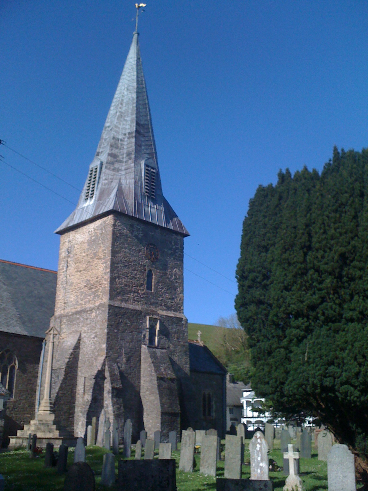
St Michael's Chapel
Heritage Site in Devon North Devon
England
St Michael's Chapel
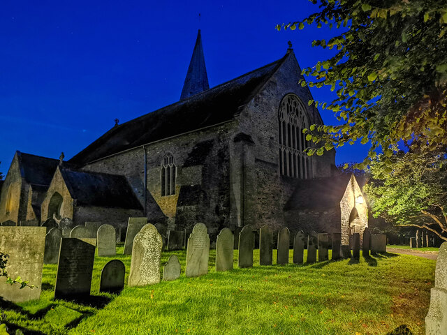
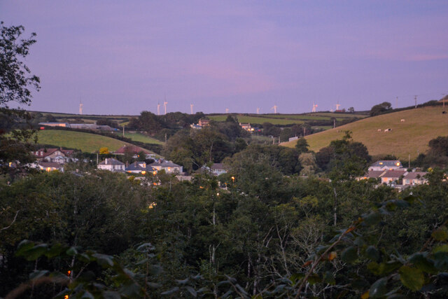
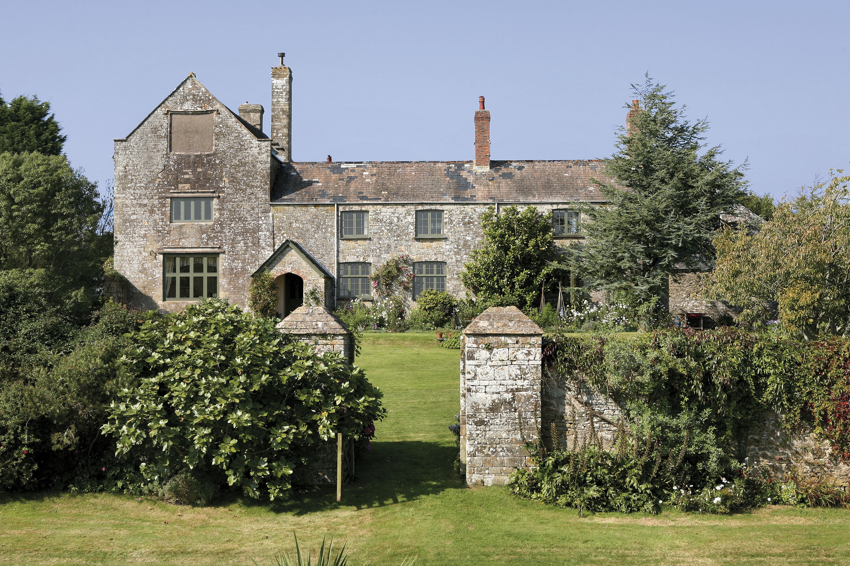
St Michael's Chapel is a historic heritage site located in Devon, England. Situated on a hilltop overlooking the picturesque village of Brentor, this chapel holds immense cultural and historical significance in the region.
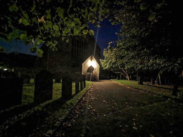
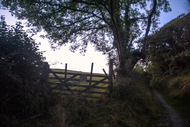
The construction of St Michael's Chapel dates back to the 12th century, making it an ancient religious structure. Built entirely of granite, the chapel stands as a testament to the architectural prowess of the time. Its location on a rocky outcrop adds to its charm and provides visitors with breathtaking panoramic views of the surrounding landscape.
The chapel is dedicated to St Michael the Archangel, known as the protector against evil. Its original purpose was to serve as a place of worship for the local community and a pilgrimage site for religious devotees. Today, it continues to be used for religious ceremonies, particularly during important Christian festivals.
One of the chapel's distinctive features is its small bell tower, which houses a medieval bell. This bell, known as the "Chapel Bell," has survived for centuries and still rings out, adding a touch of tradition and authenticity to the site.
St Michael's Chapel is open to visitors throughout the year, attracting history enthusiasts, architecture admirers, and those seeking a peaceful retreat. The chapel offers a serene atmosphere, allowing visitors to immerse themselves in the rich heritage and spirituality that it embodies.
In conclusion, St Michael's Chapel is a treasured heritage site in Devon, England. Its age-old construction, stunning location, and religious significance make it a must-visit destination for anyone interested in history, architecture, or spirituality.
If you have any feedback on the listing, please let us know in the comments section below.
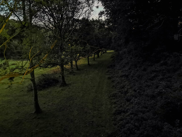
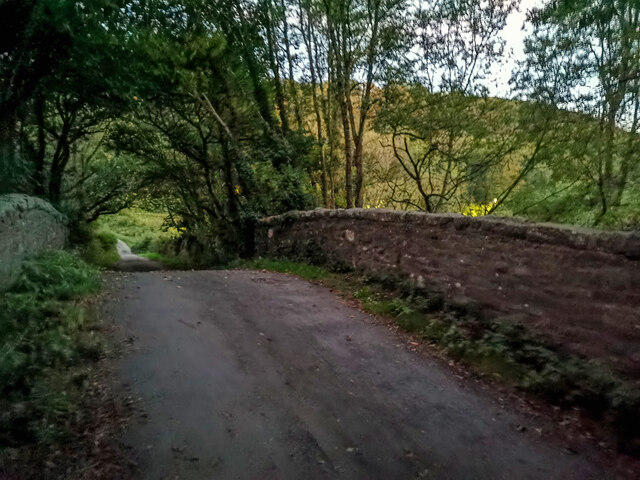
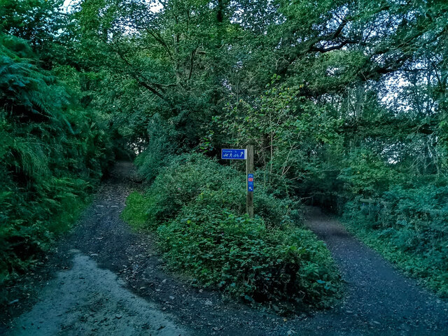
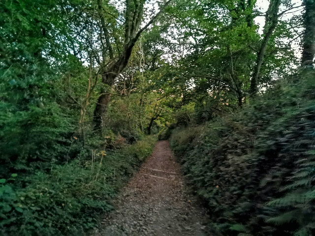
St Michael's Chapel Images
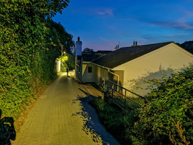
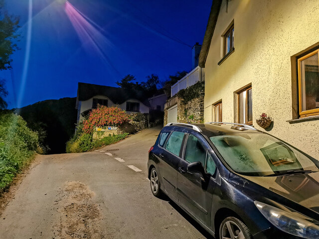
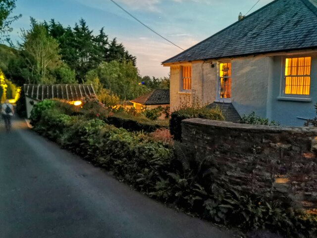
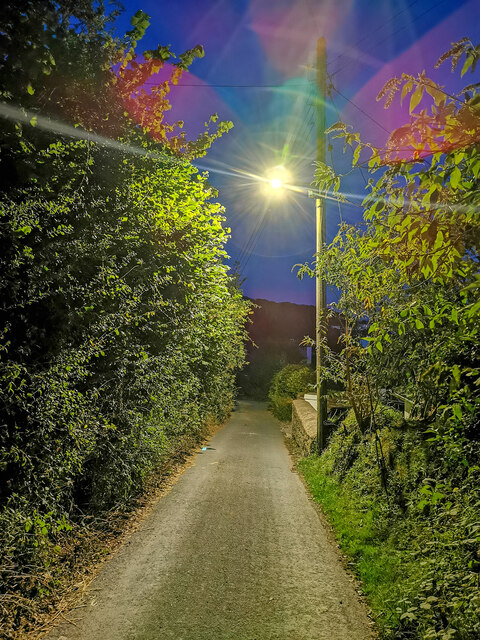
Images are sourced within 2km of 51.117/-4.15 or Grid Reference SS4937. Thanks to Geograph Open Source API. All images are credited.
St Michael's Chapel is located at Grid Ref: SS4937 (Lat: 51.117, Lng: -4.15)
Administrative County: Devon
District: North Devon
Police Authority: Devon and Cornwall
What 3 Words
///rooms.winds.trash. Near Braunton, Devon
Nearby Locations
Related Wikis

Boode
Boode is a small hamlet in North Devon, England. A large dairy farm is situated there. The farm won the Farmers Weekly 'Dairy Farmer of the Year' award...
St Brannock's Church, Braunton
St Brannock's Church is a medieval Church of England church in Braunton, Devon, England. According to legend it was founded by Saint Brannock, a 6th-century...

Lee Wood
Lee Wood is the location of an Iron Age enclosure or hill fort situated near to Braunton and Barnstaple in Devon, England. The enclosure is situated on...

Knowle, Devon
Knowle is a village near Braunton located on the A361 road between Ilfracombe and Barnstaple in North Devon, England. It is in the civil parish of Braunton...

Braunton
Braunton is a large village, civil parish, ecclesiastical parish and former manor in Devon. The village is situated 5 miles (8 km) west of Barnstaple....
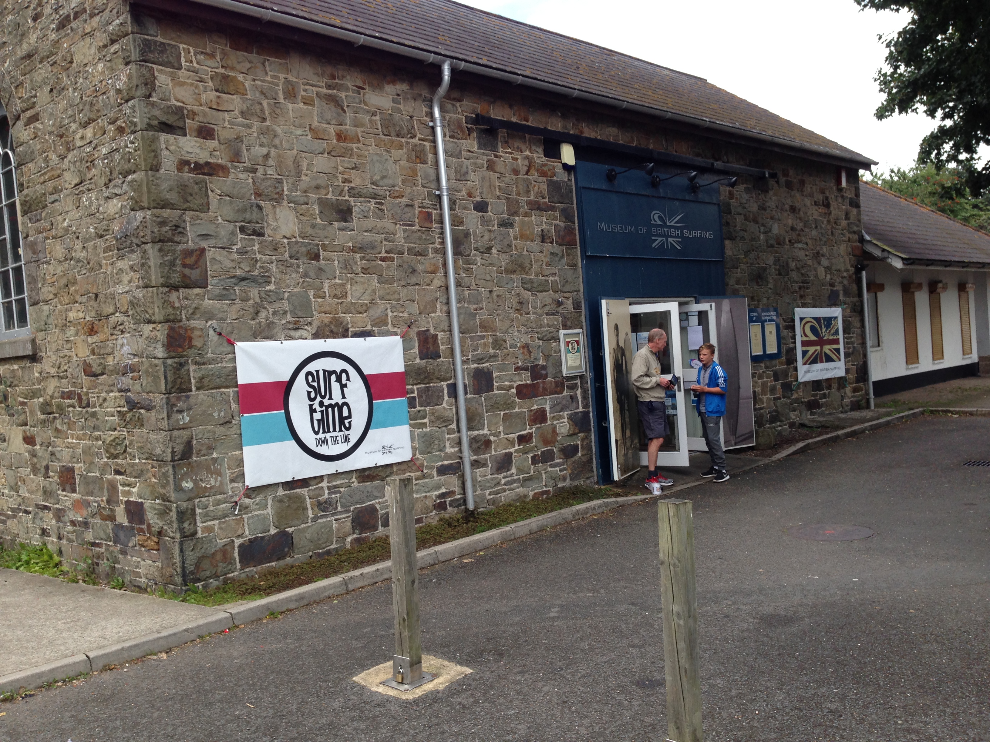
Museum of British Surfing
The Museum of British Surfing is a Museum based in Braunton, Devon; the museum contains exhibits relating to the history of surfing in the United Kingdom...
Knowle Hill Castle
Knowle Hill Castle is an Iron Age hill fort situated close to Braunton in Devon, England. The fort is situated on a hillside forming a promontory above...
Ash, Braunton
Ash in the parish of Braunton in North Devon is a historic estate listed in the Domesday Book. The present mansion, known as The Ash Barton estate is a...
Nearby Amenities
Located within 500m of 51.117,-4.15Have you been to St Michael's Chapel?
Leave your review of St Michael's Chapel below (or comments, questions and feedback).