Kittywell Plantation

Wood, Forest in Devon North Devon

England

Kittywell Plantation

Braunton : Deans Bridge House A house on Church Street.
Braunton : Deans Bridge House Credit: Lewis Clarke

The requested URL returned error: 429 Too Many Requests

If you have any feedback on the listing, please let us know in the comments section below.

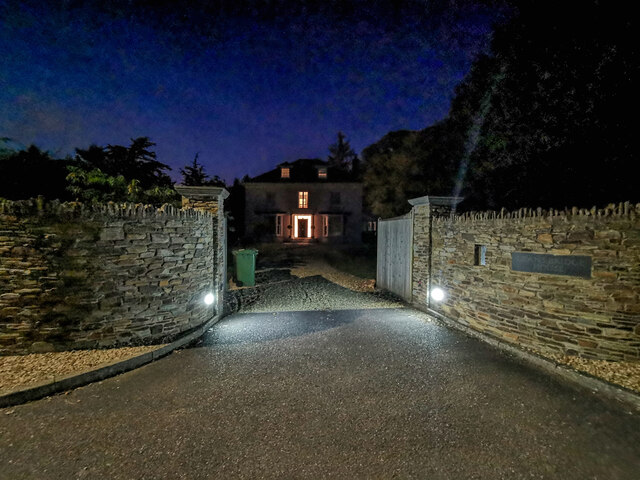
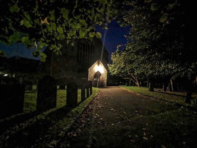
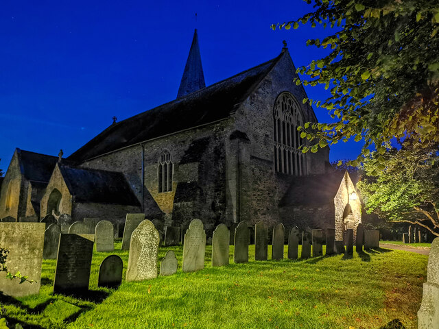
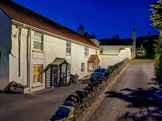
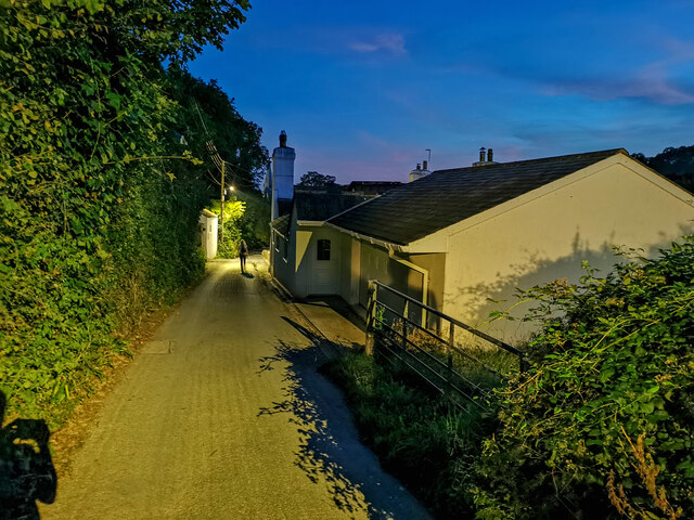
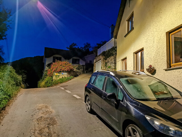
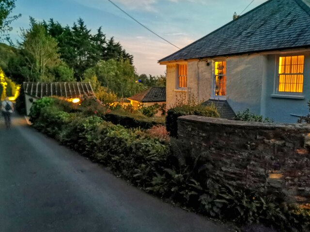
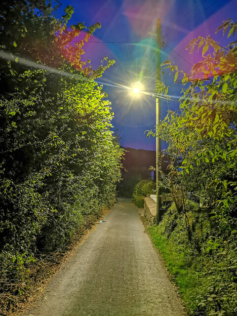
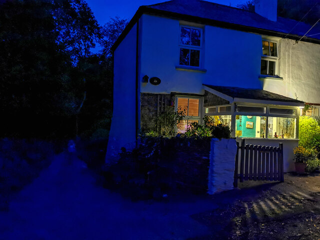
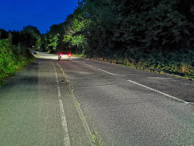
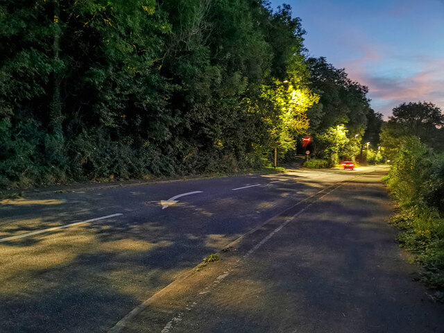
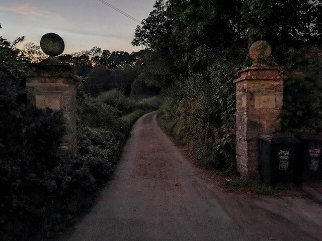
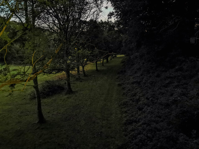
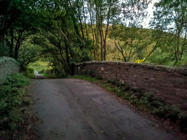
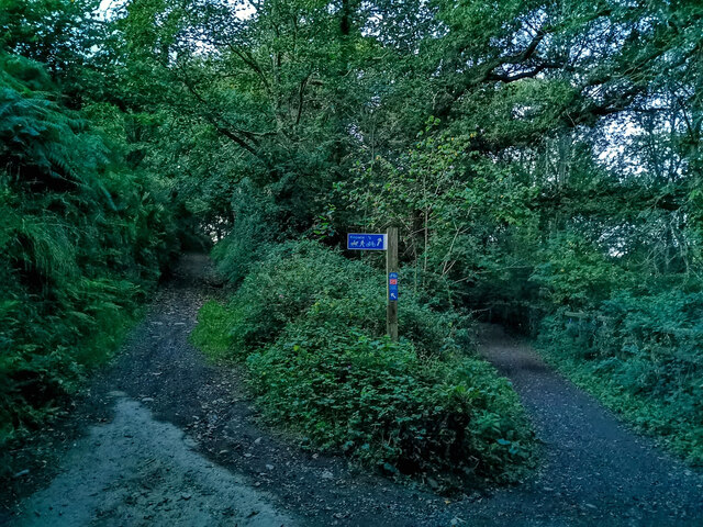
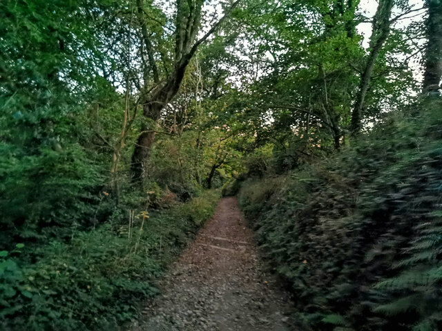
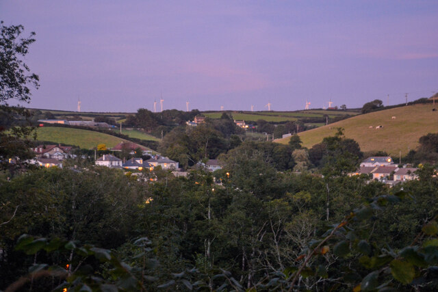
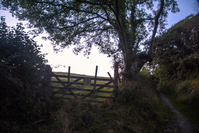
Kittywell Plantation Images

Images are sourced within 2km of 51.120503/-4.156102 or Grid Reference SS4937. Thanks to Geograph Open Source API. All images are credited.

Braunton : Deans Bridge House A house on Church Street.
Braunton : Deans Bridge House
A house on Church Street.
Braunton : St Brannock's Church The present church dates from the 13th century although there were earlier churches on the site from the time of St Brannock.
Braunton : St Brannock's Church
The present church dates from the 13th century although there were earlier churches on the site from the time of St Brannock.
Braunton : St Brannock's Church The Church owes its foundation to Brannock, a missionary who came across the Bristol Channel from Wales (some authorities claim he came from Ireland) to bring Christianity and improved agriculture to the area. According to legend he attempted to build a church on a hill above the settlement but it kept falling down. He then had a vision and was told to build his church at a spot where he would find a sow and piglets. This legend is commemorated on a highly coloured roof boss immediately above the font. A similar boss can also be found in Exeter cathedral.
Braunton : St Brannock's Church
The Church owes its foundation to Brannock, a missionary who came across the Bristol Channel from Wales (some authorities claim he came from Ireland) to bring Christianity and improved agriculture to the area. According to legend he attempted to build a church on a hill above the settlement but it kept falling down. He then had a vision and was told to build his church at a spot where he would find a sow and piglets. This legend is commemorated on a highly coloured roof boss immediately above the font. A similar boss can also be found in Exeter cathedral.
Braunton : Silver Street Looking along Silver Street.
Braunton : Silver Street
Looking along Silver Street.
Braunton : Silver Street Looking along Silver Street in Braunton.
Braunton : Silver Street
Looking along Silver Street in Braunton.
Braunton : Silver Street Looking along Silver Street.
Braunton : Silver Street
Looking along Silver Street.
Braunton : Corilhead Road Looking along the road.
Braunton : Corilhead Road
Looking along the road.
Braunton : Corilhead Road Looking along Corilhead Road.
Braunton : Corilhead Road
Looking along Corilhead Road.
Braunton : Corilhead Road Passing Quarry Cottage.
Braunton : Corilhead Road
Passing Quarry Cottage.
Braunton : A361 Looking along the A361.
Braunton : A361
Looking along the A361.
Braunton : A361 Looking along the A361.
Braunton : A361
Looking along the A361.
Braunton : Castle Lane Looking along Castle Lane in Braunton.
Braunton : Castle Lane
Looking along Castle Lane in Braunton.
Braunton : Grassy Field Looking down towards a field.
Braunton : Grassy Field
Looking down towards a field.
Braunton : Castle Lane Looking along Castle Lane.
Braunton : Castle Lane
Looking along Castle Lane.
Braunton : Castle Lane Looking along Castle Lane in Braunton.
Braunton : Castle Lane
Looking along Castle Lane in Braunton.
Braunton : Castle Lane Looking along Castle Lane in Braunton.
Braunton : Castle Lane
Looking along Castle Lane in Braunton.
Knowle : Countryside Scenery Looking across the countryside towards Knowle.
Knowle : Countryside Scenery
Looking across the countryside towards Knowle.
Knowle : Grassy Field Looking along a path beside the field.
Knowle : Grassy Field
Looking along a path beside the field.
Show me another place!

Kittywell Plantation is located at Grid Ref: SS4937 (Lat: 51.120503, Lng: -4.156102)

Administrative County: Devon

District: North Devon

Police Authority: Devon and Cornwall

What 3 Words

///cassettes.joked.conceals. Near Braunton, Devon

Related Wikis

Lee Wood

Lee Wood is the location of an Iron Age enclosure or hill fort situated near to Braunton and Barnstaple in Devon, England. The enclosure is situated on...

Knowle, Devon

Knowle is a village near Braunton located on the A361 road between Ilfracombe and Barnstaple in North Devon, England. It is in the civil parish of Braunton...

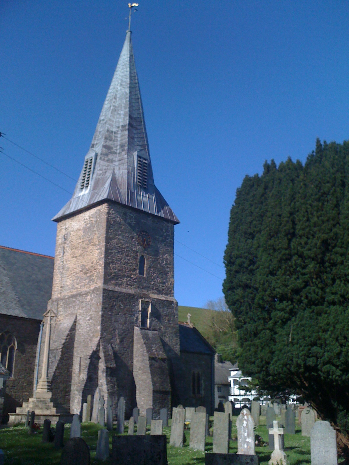
St Brannock's Church, Braunton

St Brannock's Church is a medieval Church of England church in Braunton, Devon, England. According to legend it was founded by Saint Brannock, a 6th-century...

Knowle Hill Castle

Knowle Hill Castle is an Iron Age hill fort situated close to Braunton in Devon, England. The fort is situated on a hillside forming a promontory above...

Nearby Amenities

Located within 500m of 51.120503,-4.156102
Ebbrington Arms
Disused Amenity: pub
Food: yes
Real Ale: yes
Lat/Long: 51.124501/-4.1544812
Generator Method: photovoltaic
Generator Output Electricity: yes
Generator Source: solar
Generator Type: solar_photovoltaic_panel
Location: roof
Power: generator
Lat/Long: 51.1242496/-4.1551488
Generator Method: photovoltaic
Generator Output Electricity: yes
Generator Source: solar
Generator Type: solar_photovoltaic_panel
Location: roof
Power: generator
Lat/Long: 51.1242479/-4.1551166
Power: pole
Lat/Long: 51.120206/-4.1491064
Power: pole
Lat/Long: 51.1201386/-4.149718
Power: pole
Lat/Long: 51.1199198/-4.1516116
Power: pole
Lat/Long: 51.1197211/-4.1531834
Power: pole
Lat/Long: 51.1195393/-4.1546854
Power: pole
Lat/Long: 51.1190948/-4.1557717
Power: pole
Lat/Long: 51.1187109/-4.1567239
Power: pole
Lat/Long: 51.1185341/-4.1571879
Power: pole
Lat/Long: 51.1183506/-4.1577298
Power: pole
Lat/Long: 51.118061/-4.1583949
Power: pole
Lat/Long: 51.11796/-4.1597307
Power: pole
Lat/Long: 51.1234013/-4.1546667
Power: pole
Lat/Long: 51.1226269/-4.1518825
Power: pole
Lat/Long: 51.1233508/-4.1505843
Power: pole
Lat/Long: 51.1222195/-4.1505522
Power: pole
Lat/Long: 51.1211488/-4.1504985
Power: pole
Lat/Long: 51.1200427/-4.1505039
Power: pole
Lat/Long: 51.1192817/-4.1504717
Power: pole
Lat/Long: 51.1186907/-4.1504556
Colour: green
Man Made: street_cabinet
Lat/Long: 51.1230202/-4.1553795
Stop
Lat/Long: 51.1230558/-4.1554948
Recycling
Recycling Clothes: yes
Recycling Shoes: yes
Recycling Type: container
Lat/Long: 51.124214/-4.1552943
Post Office
Knowle Post Office
Brand: Post Office
Brand Wikidata: Q1783168
Check Date: 2023-09-27
Operator: Londis
Ref Pol Id: 15426
Lat/Long: 51.1241698/-4.1552353
Londis
Alt Name: Knowle Garage Londis
Branch: Knowle Garage
Brand: Londis
Brand Wikidata: Q21008564
Shop: convenience
Lat/Long: 51.1242216/-4.155234
Norris Auto Services
Phone: +44 1271 817495
Service: repair;tyres
Service Vehicle Inspection: yes
Shop: car_repair
Lat/Long: 51.1243083/-4.1551334
Fuel
Knowle Garage
Brand: Gulf
Brand Wikidata: Q5617505
Fuel Diesel: yes
Fuel Unleaded: yes
Lat/Long: 51.1242599/-4.1553547
The data included in this document is from www.openstreetmap.org. The data is made available under ODbL.

Have you been to Kittywell Plantation?

Leave your review of Kittywell Plantation below (or comments, questions and feedback).