Chapel Hill
Hill, Mountain in Devon North Devon
England
Chapel Hill
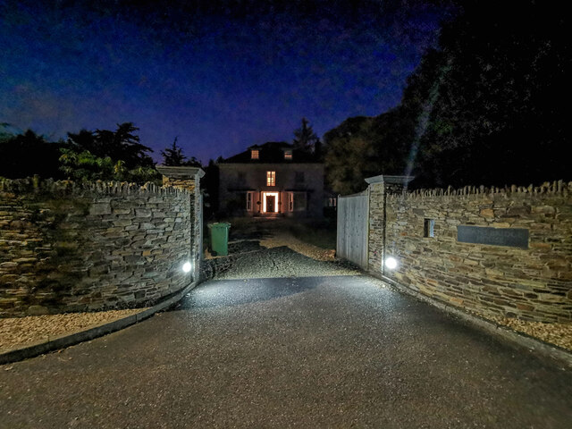
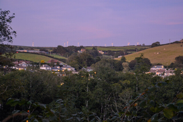
Chapel Hill is a picturesque hill located in the county of Devon, England. Situated in the southwestern part of the country, this hill offers breathtaking views of the surrounding countryside and is a popular destination for both locals and tourists alike.
Rising to an elevation of approximately 300 meters, Chapel Hill is known for its distinct shape resembling that of a chapel, hence its name. The hill is covered in lush greenery and is home to a diverse range of flora and fauna, making it a haven for nature enthusiasts and wildlife lovers. The area surrounding Chapel Hill is characterized by rolling hills, meandering streams, and charming villages, creating a tranquil and idyllic atmosphere.
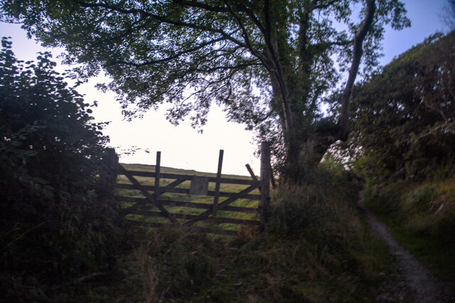
Visitors to Chapel Hill can enjoy various activities such as hiking, picnicking, and photography. There are several well-marked trails that lead to the summit, allowing hikers to immerse themselves in the beauty of the natural surroundings. Along the way, they may encounter an array of wildlife, including rabbits, foxes, and various bird species.
At the top of Chapel Hill, visitors are rewarded with panoramic views of the Devon countryside, stretching as far as the eye can see. The hill offers an ideal vantage point for capturing stunning photographs or simply relaxing and taking in the peaceful ambiance.
Overall, Chapel Hill in Devon is a picturesque and serene destination that showcases the natural beauty of the English countryside. Its distinct shape, lush greenery, and breathtaking views make it a must-visit location for those seeking a tranquil escape in the heart of Devon.
If you have any feedback on the listing, please let us know in the comments section below.
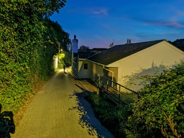
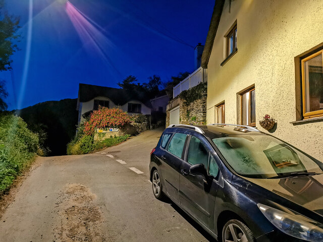
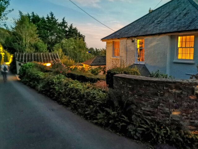
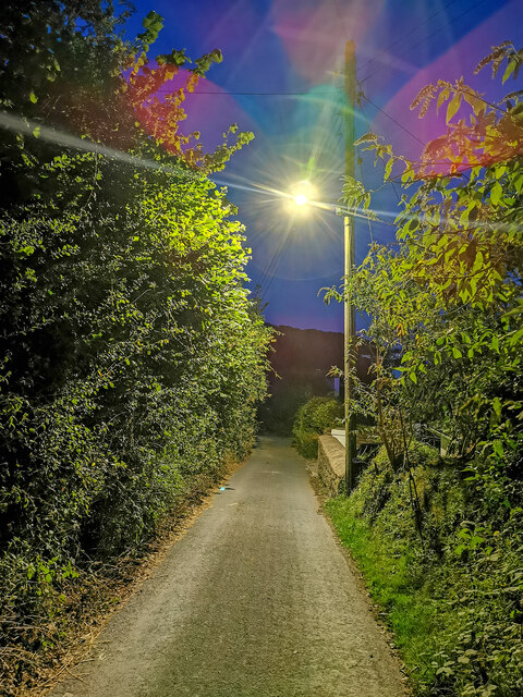
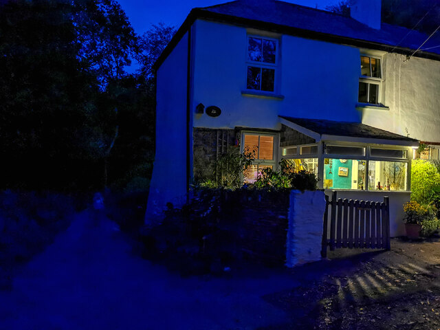
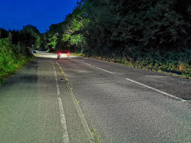
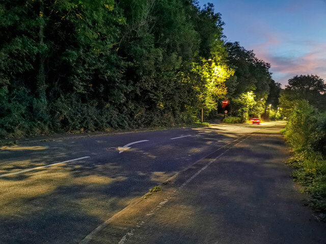
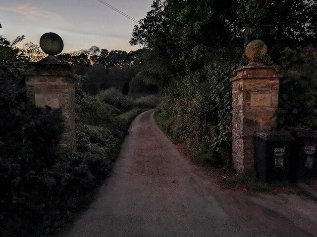
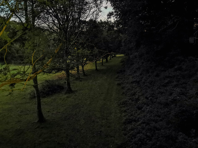
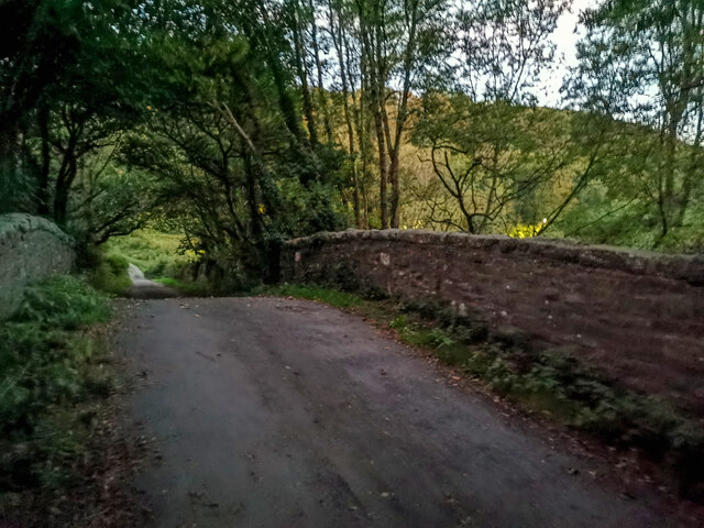
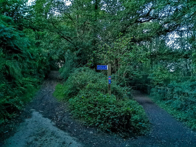
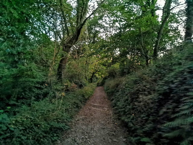
Chapel Hill Images
Images are sourced within 2km of 51.115334/-4.1564471 or Grid Reference SS4937. Thanks to Geograph Open Source API. All images are credited.
Chapel Hill is located at Grid Ref: SS4937 (Lat: 51.115334, Lng: -4.1564471)
Administrative County: Devon
District: North Devon
Police Authority: Devon and Cornwall
What 3 Words
///nightfall.corded.topic. Near Braunton, Devon
Nearby Locations
Related Wikis
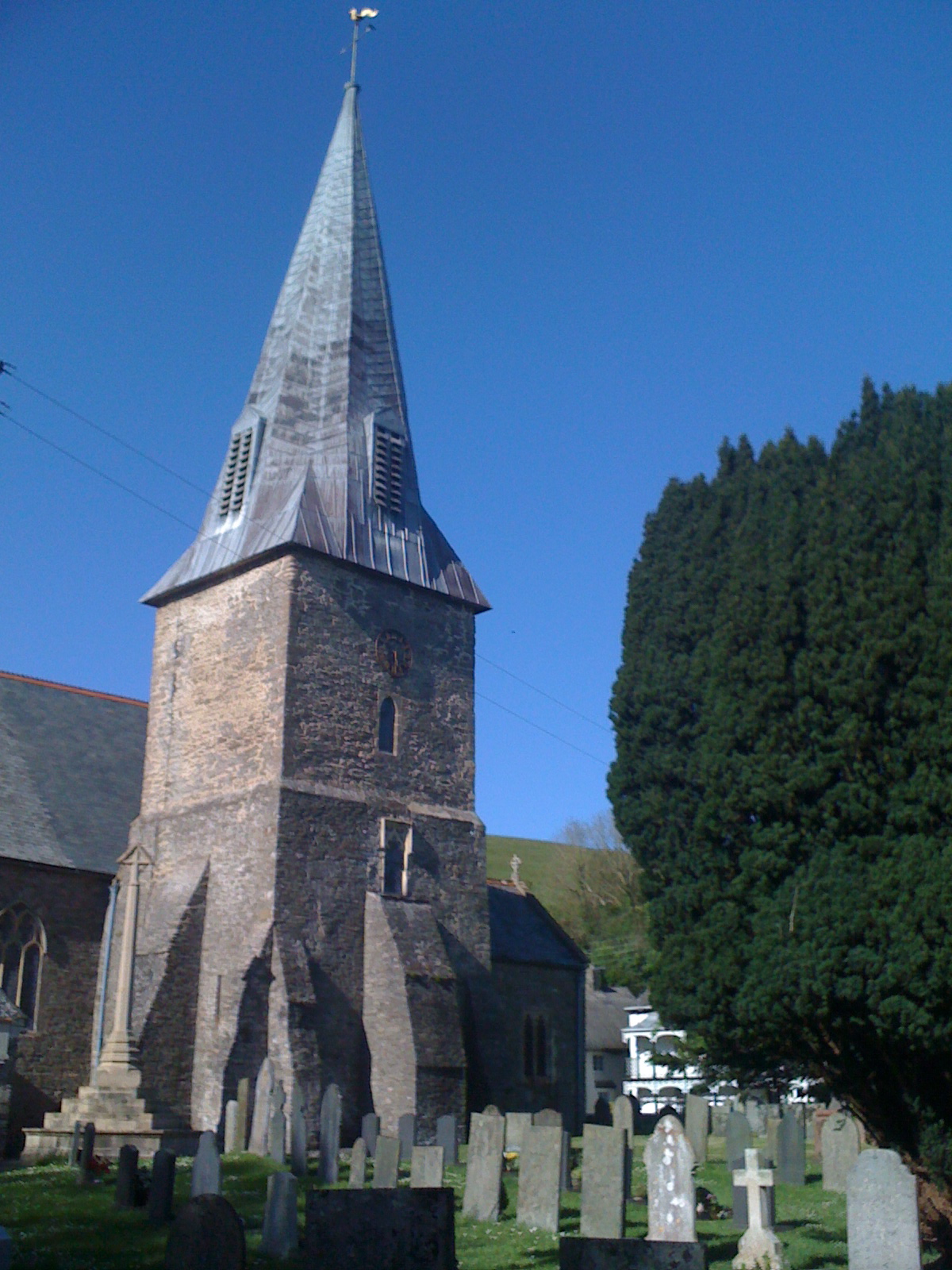
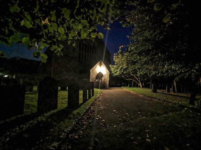
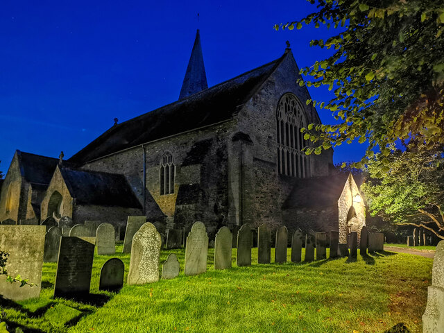
St Brannock's Church, Braunton
St Brannock's Church is a medieval Church of England church in Braunton, Devon, England. According to legend it was founded by Saint Brannock, a 6th-century...

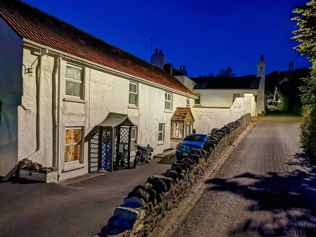
Braunton
Braunton is a large village, civil parish, ecclesiastical parish and former manor in Devon. The village is situated 5 miles (8 km) west of Barnstaple....

Lee Wood
Lee Wood is the location of an Iron Age enclosure or hill fort situated near to Braunton and Barnstaple in Devon, England. The enclosure is situated on...
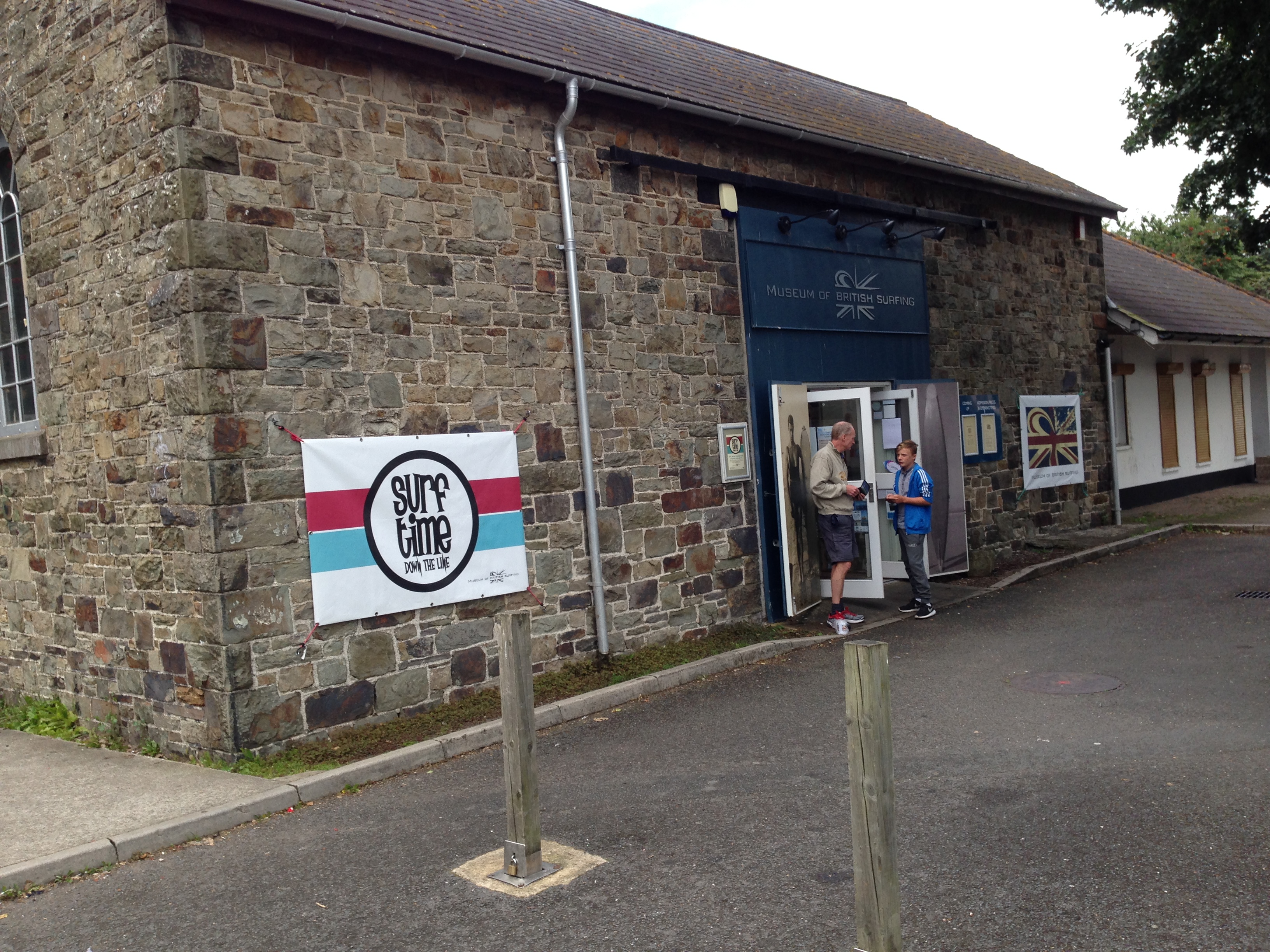
Museum of British Surfing
The Museum of British Surfing is a Museum based in Braunton, Devon; the museum contains exhibits relating to the history of surfing in the United Kingdom...
Nearby Amenities
Located within 500m of 51.115334,-4.1564471Have you been to Chapel Hill?
Leave your review of Chapel Hill below (or comments, questions and feedback).