St Mary's Guildhall
Heritage Site in Lincolnshire Lincoln
England
St Mary's Guildhall
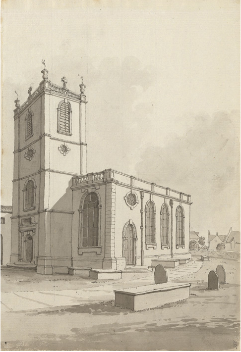
St Mary's Guildhall is a historic landmark located in the county of Lincolnshire, England. It is a well-preserved medieval guildhall, believed to have been constructed in the early 14th century. The guildhall is situated in the city of Lincoln, in proximity to the famous Lincoln Cathedral.
The building itself is an architectural marvel, showcasing the distinct characteristics of medieval design. It features an impressive timber-framed structure, with ornate carvings and intricate details adorning the façade. The guildhall is a testament to the craftsmanship of the era, with its sturdy construction and enduring charm.
Originally built to serve as a meeting place for local guilds, the guildhall played a significant role in the social and economic life of the medieval community. It provided a space for trade negotiations, legal proceedings, and social gatherings. Over the centuries, the guildhall has witnessed numerous historic events and has been a witness to the changing times.
Today, St Mary's Guildhall stands as a heritage site, open to the public for exploration and appreciation. Visitors can marvel at the medieval architecture, explore the different rooms and chambers, and learn about the history and significance of the guildhall through informative displays and exhibits.
The guildhall also hosts various cultural events and exhibitions, showcasing the rich heritage of Lincolnshire. It serves as a reminder of the region's vibrant past and offers a glimpse into the medieval era for visitors and locals alike.
If you have any feedback on the listing, please let us know in the comments section below.
St Mary's Guildhall Images
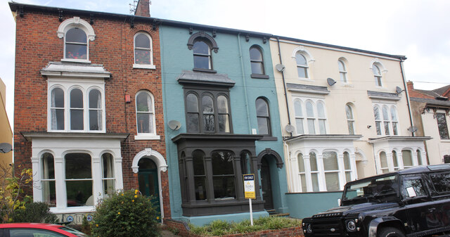
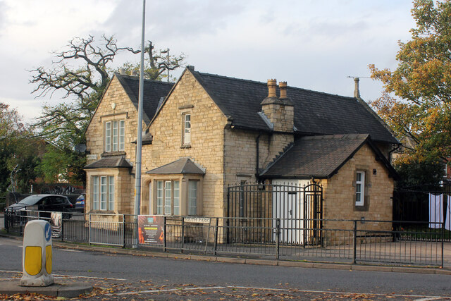
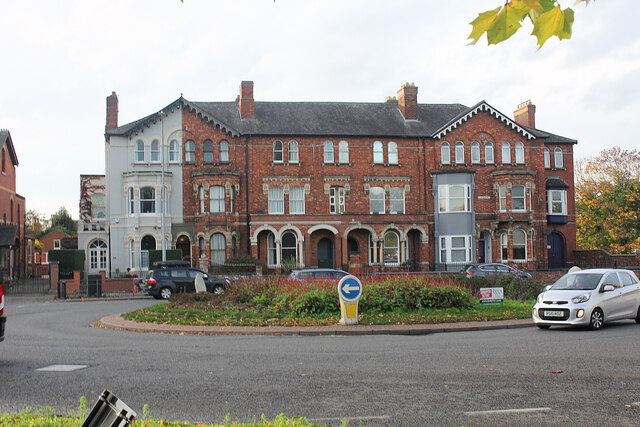
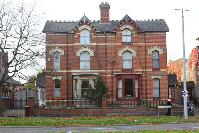
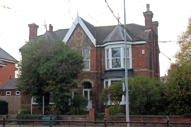
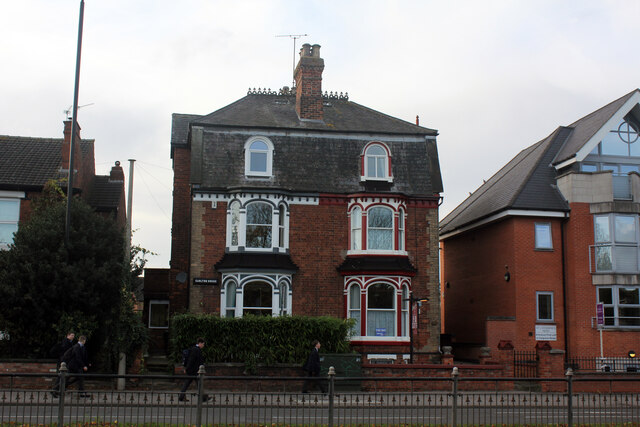
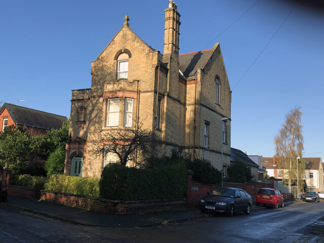
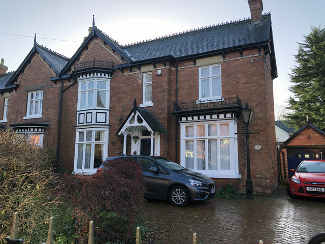
Images are sourced within 2km of 53.23/-0.541 or Grid Reference SK9771. Thanks to Geograph Open Source API. All images are credited.


St Mary's Guildhall is located at Grid Ref: SK9771 (Lat: 53.23, Lng: -0.541)
Division: Parts of Lindsey
Administrative County: Lincolnshire
District: Lincoln
Police Authority: Lincolnshire
What 3 Words
///intent.wants.solve. Near Lincoln, Lincolnshire
Nearby Locations
Related Wikis

Lincoln (UK Parliament constituency)
Lincoln is a constituency in Lincolnshire, England represented in the House of Commons of the UK Parliament since 2019 by Karl McCartney, a Conservative...

St Benedict's Church, Lincoln
St. Benedict's Church, Lincoln is an ancient church in Lincoln, England which is mentioned in 1107 and before the English Civil War was the Lincoln Civic...
St Peter at Arches Church, Lincoln
St Peter at Arches, Church, Lincoln was an ancient church in Lincoln, England, that was demolished and re-built c. 1720–24 by either Francis or William...
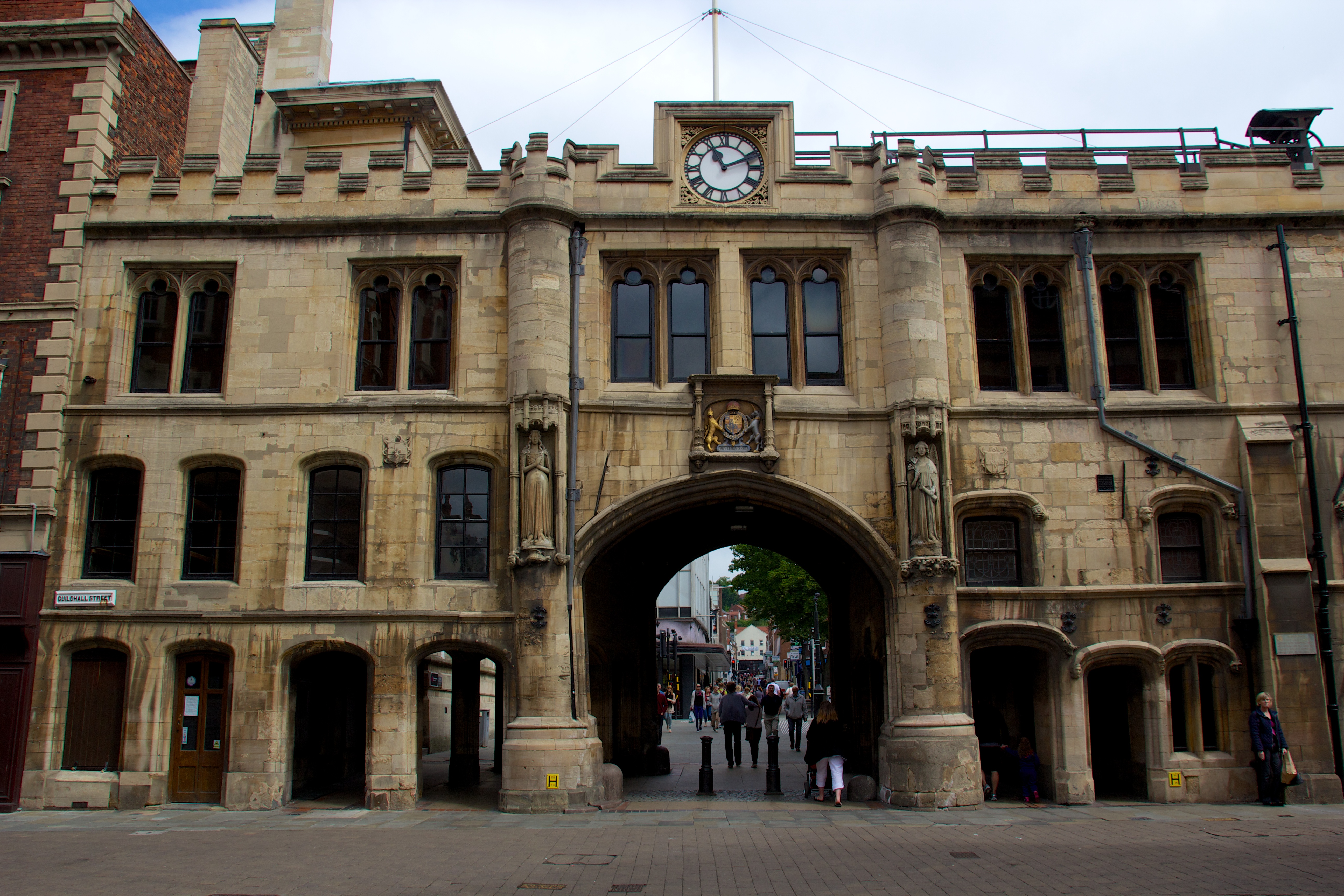
Guildhall and Stonebow, Lincoln
The Guildhall and Stonebow, Lincoln, has been the meeting place of Lincoln City Council from Medieval times to the present. The term Stonebow, which is...

New Theatre Royal Lincoln
The New Theatre Royal Lincoln is a theatre in Lincoln, Lincolnshire, England. The present theatre, initially called the New Theatre Royal, was built in...

All Saints' Church, Lincoln
All Saints' Church, Lincoln is a parish church on Monks Road in Lincoln in the Church of England.The parish is part of the Deanery of Christianity within...

Alive Church, Lincoln
Alive Church, Lincoln is a Grade II*-listed parish church in the city of Lincoln, in Lincolnshire, England. It is an active place of worship and part of...

Lincoln City Hall
City Hall is a municipal structure on Beaumont Fee, Lincoln, Lincolnshire, England. The structure is currently used as the headquarters of the City of...
Nearby Amenities
Located within 500m of 53.23,-0.541Have you been to St Mary's Guildhall?
Leave your review of St Mary's Guildhall below (or comments, questions and feedback).