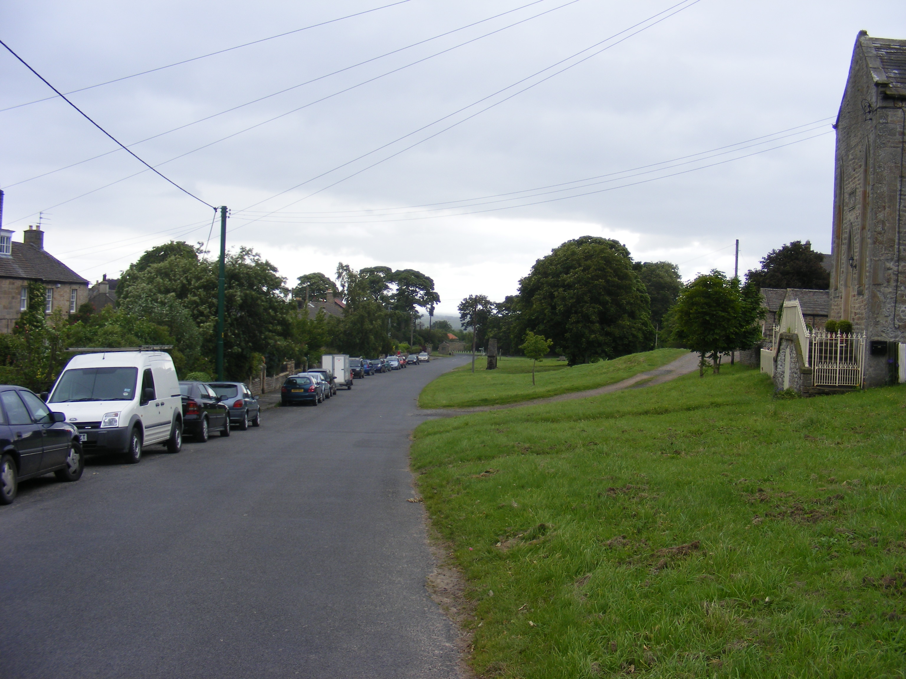
St Mary's Church

Heritage Site in Yorkshire

England

St Mary's Church

Derelict Farm Barn, Thorpe Farm Centre The barn appeared to be under  restoration
Derelict Farm Barn, Thorpe Farm Centre Credit: Paul Buckingham

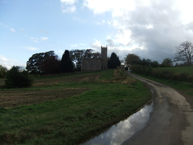
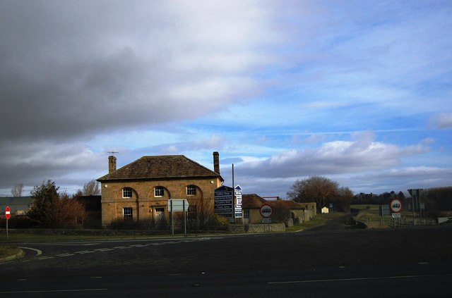
St Mary's Church, located in the picturesque county of Yorkshire, is a historic and revered heritage site that dates back to the medieval period. Situated in the heart of a charming village, the church has been a focal point of the community for centuries.

The architecture of St Mary's Church is a testament to the craftsmanship and skill of the medieval builders. The church is predominantly constructed in the Gothic style, with its striking stone walls and magnificent stained glass windows. The grandeur of the building is enhanced by its towering spire, which can be seen from miles around.

Inside, visitors are greeted with a sense of tranquility and awe-inspiring beauty. The church boasts an impressive nave with intricately carved wooden pews, offering a peaceful space for contemplation and prayer. The stained glass windows, depicting biblical scenes and saints, cast a kaleidoscope of colors across the interior, creating a mesmerizing effect.

St Mary's Church holds great historical significance, with records dating back to the 12th century. It has witnessed numerous significant events and has been a place of worship for generations. The church's graveyard is also of interest to visitors, with ancient tombstones and memorials providing a glimpse into the lives of those who came before.

Today, St Mary's Church continues to serve as an active place of worship, hosting regular services and events. It also welcomes visitors from near and far, who come to appreciate its architectural splendor, soak in its rich history, or simply find solace in its peaceful ambiance. St Mary's Church in Yorkshire is truly a remarkable heritage site that showcases the region's cultural and religious heritage.

If you have any feedback on the listing, please let us know in the comments section below.

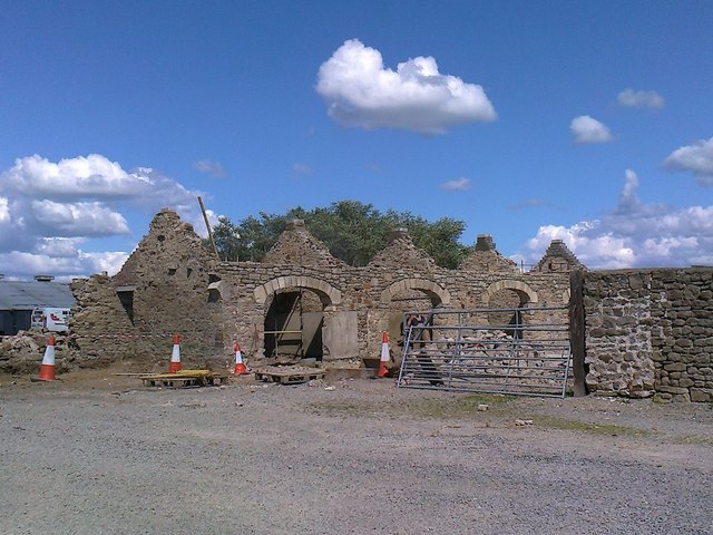
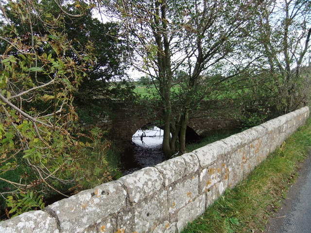
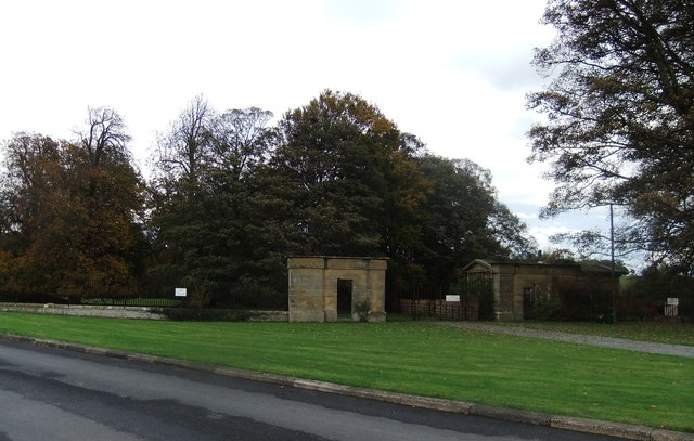
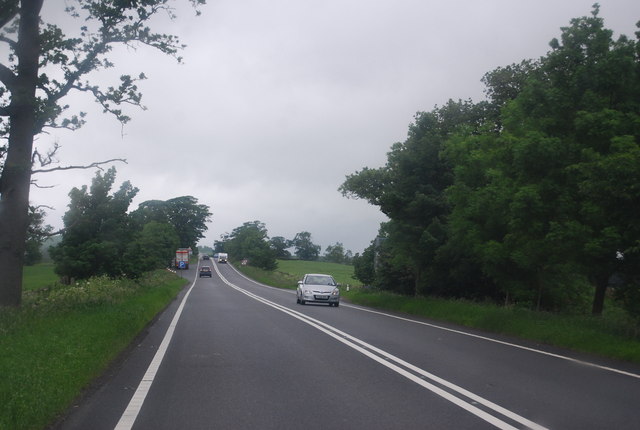
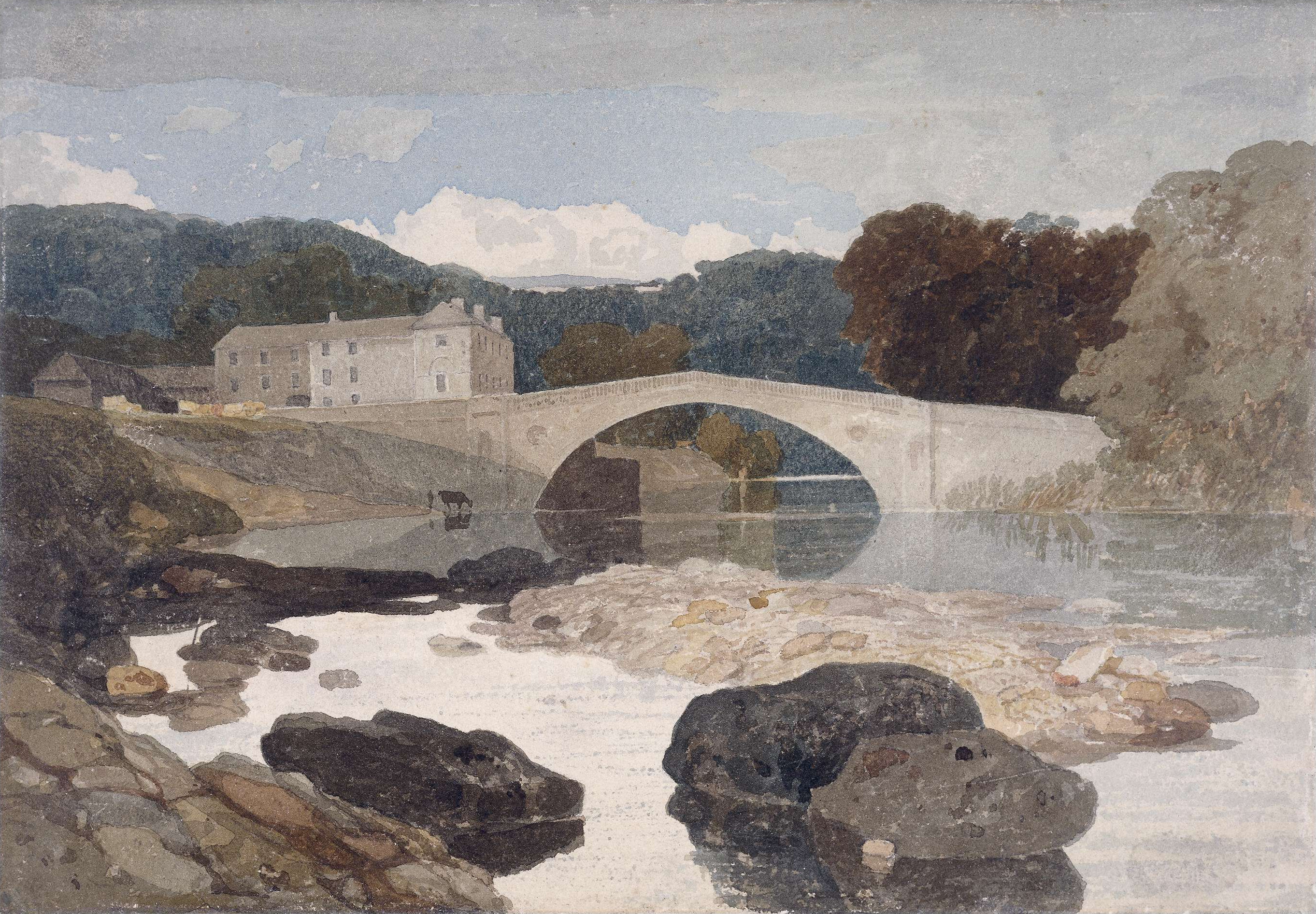
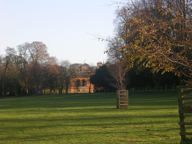
St Mary's Church Images

Images are sourced within 2km of 54.508/-1.883 or Grid Reference NZ0712. Thanks to Geograph Open Source API. All images are credited.

Derelict Farm Barn, Thorpe Farm Centre The barn appeared to be under  restoration
Derelict Farm Barn, Thorpe Farm Centre
The barn appeared to be under restoration
Norbeck Bridge
Norbeck Bridge
Old entrance to Rokeby Park Before the A66 dual carriageway
Old entrance to Rokeby Park
Before the A66 dual carriageway
St Mary's Church, Brignall
Thorpe Farm near Greta Bridge
Farmland, Brignall A crop of barley to the west of Lily Hill.
Farmland, Brignall
A crop of barley to the west of Lily Hill.
Farmland, Rokeby A footpath descending through ripe wheat from the A66.
Farmland, Rokeby
A footpath descending through ripe wheat from the A66.
Farmland, Brignall Ripe wheat beside the footpath heading towards Rokeby.
Farmland, Brignall
Ripe wheat beside the footpath heading towards Rokeby.
Farmland, Rokeby A view over ripe wheat from a footpath to the south of the A66.
Farmland, Rokeby
A view over ripe wheat from a footpath to the south of the A66.
A66 at entrance to Tutta Beck Farm
A66 passing Church Plantation Start of dual carriageway in distance. A66 east.
A66 passing Church Plantation
Start of dual carriageway in distance. A66 east.
Farm track off the A66
A66, Thorpe Grange The A66 is a major road in northern England running from near Middlesbrough to Workington. The section between Scotch Corner and Penrith is a Trans-Pennine route between the A1 and M6, following an old Roman Road.
Wikipedia: <span class="nowrap"><a title="http://en.wikipedia.org/wiki/A66_road" rel="nofollow ugc noopener" href="http://en.wikipedia.org/wiki/A66_road">Link</a><img style="margin-left:2px;" alt="External link" title="External link - shift click to open in new window" src="https://s1.geograph.org.uk/img/external.png" width="10" height="10"/></span>
A66, Thorpe Grange
The A66 is a major road in northern England running from near Middlesbrough to Workington. The section between Scotch Corner and Penrith is a Trans-Pennine route between the A1 and M6, following an old Roman Road. Wikipedia: LinkExternal link
Turn off the A66 near Greta Bridge
A66, Rokeby Park turning The A66 is a major road in northern England running from near Middlesbrough to Workington. The section between Scotch Corner and Penrith is a Trans-Pennine route between the A1 and M6, following an old Roman Road.
Wikipedia: <span class="nowrap"><a title="http://en.wikipedia.org/wiki/A66_road" rel="nofollow ugc noopener" href="http://en.wikipedia.org/wiki/A66_road">Link</a><img style="margin-left:2px;" alt="External link" title="External link - shift click to open in new window" src="https://s1.geograph.org.uk/img/external.png" width="10" height="10"/></span>
A66, Rokeby Park turning
The A66 is a major road in northern England running from near Middlesbrough to Workington. The section between Scotch Corner and Penrith is a Trans-Pennine route between the A1 and M6, following an old Roman Road. Wikipedia: LinkExternal link
Farm track to Ewebank
A66, westbound The A66 is a major road in northern England running from near Middlesbrough to Workington. The section between Scotch Corner and Penrith is a Trans-Pennine route between the A1 and M6, following an old Roman Road.
Wikipedia: <span class="nowrap"><a title="http://en.wikipedia.org/wiki/A66_road" rel="nofollow ugc noopener" href="http://en.wikipedia.org/wiki/A66_road">Link</a><img style="margin-left:2px;" alt="External link" title="External link - shift click to open in new window" src="https://s1.geograph.org.uk/img/external.png" width="10" height="10"/></span>
A66, westbound
The A66 is a major road in northern England running from near Middlesbrough to Workington. The section between Scotch Corner and Penrith is a Trans-Pennine route between the A1 and M6, following an old Roman Road. Wikipedia: LinkExternal link
Tutta Beck Plantation
Show me another place!

St Mary's Church is located at Grid Ref: NZ0712 (Lat: 54.508, Lng: -1.883)

Division: North Riding

Unitary Authority: County Durham

Police Authority: Durham

What 3 Words

///avocado.unloads.takeovers. Near Brignall, Co. Durham

Related Wikis

Brignall

Brignall village is located in an elevated position adjacent to the River Greta, about 2 km upstream from Greta Bridge. The village is within the Teesdale...

Greta Bridge

Greta Bridge is a village on the River Greta in County Durham, England. == Geography and administration == Greta Bridge lies in the Pennine hills near...

Rokeby, County Durham

Rokeby ( ROHK-bee) is a civil parish about 2.5 miles from Barnard Castle, in the County Durham district, in the ceremonial county of Durham, England. The...

Rokeby Park

Rokeby Park is a country house in the Palladian style in the civil parish of Rokeby, in Northern England. It is close to the confluence of the River Tees...

Brignall Banks

Brignall Banks is a Site of Special Scientific Interest in the Teesdale district of south-west County Durham, England. It consists of a narrow belt of...

Barningham, County Durham

Barningham is a village in County Durham, in the Pennines of England. == History == Barningham is listed in the Domesday Book under the Gilling Wapentake...

Milbank Arms, Barningham

The Milbank Arms is a Grade II listed public house at Barningham, County Durham. Built in the early 19th century, it spent a period as a hotel before converting...

Barningham Park

Barningham Park is a Grade II* listed country house and 7,000 acre estate located in the village of Barningham, County Durham (formerly the North Riding...

Nearby Amenities

Located within 500m of 54.508,-1.883
Power: pole
Lat/Long: 54.5082346/-1.8896565
Power: pole
Lat/Long: 54.5083172/-1.8883663
Power: pole
Lat/Long: 54.5084137/-1.8868616
Power: pole
Lat/Long: 54.5084822/-1.8848929
Power: pole
Lat/Long: 54.5085103/-1.8836805
Power: pole
Lat/Long: 54.5085258/-1.8824038
Power: pole
Lat/Long: 54.508557/-1.8813229
Power: pole
Lat/Long: 54.5089821/-1.8798235
Power: pole
Lat/Long: 54.5094041/-1.8783268
Power: pole
Lat/Long: 54.5098168/-1.8768355
Barrier: stile
Lat/Long: 54.5044215/-1.882719
The data included in this document is from www.openstreetmap.org. The data is made available under ODbL.

Have you been to St Mary's Church?

Leave your review of St Mary's Church below (or comments, questions and feedback).