Brayford Pool
Lake, Pool, Pond, Freshwater Marsh in Lincolnshire Lincoln
England
Brayford Pool
Brayford Pool is a man-made lake located in the heart of Lincolnshire, England. It is situated in the city of Lincoln, specifically in the vicinity of the city's historic waterfront area. Originally created as a natural pool and freshwater marsh, it has evolved into a popular recreational spot and a significant landmark in the region.
Covering an area of approximately 29 acres, Brayford Pool is fed by the River Witham and is connected to the Fossdyke Navigation, the oldest canal in Britain. The lake is surrounded by picturesque landscapes, offering stunning views of the city's medieval architecture, including the iconic Lincoln Cathedral.
The pool's history dates back to Roman times when it served as a trading port. Over the centuries, it played a vital role in the city's development as a bustling industrial and commercial center. Today, it serves a different purpose and is mainly used for leisure activities such as boating and watersports. The lake is home to several boating clubs and offers boat rental services, allowing visitors to explore its tranquil waters.
Brayford Pool also boasts a vibrant waterfront area, lined with a variety of cafes, restaurants, and bars. This bustling waterfront is a hub of activity, attracting locals and tourists alike. It provides a charming atmosphere for leisurely walks, alfresco dining, or simply enjoying the serene surroundings.
In conclusion, Brayford Pool is a captivating man-made lake situated in the heart of Lincolnshire. With its rich history, stunning views, and vibrant waterfront, it offers a perfect blend of natural beauty and urban charm.
If you have any feedback on the listing, please let us know in the comments section below.
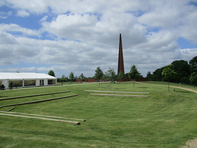
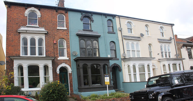
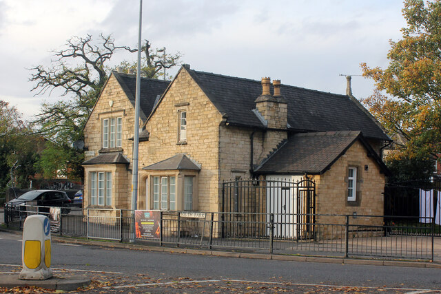
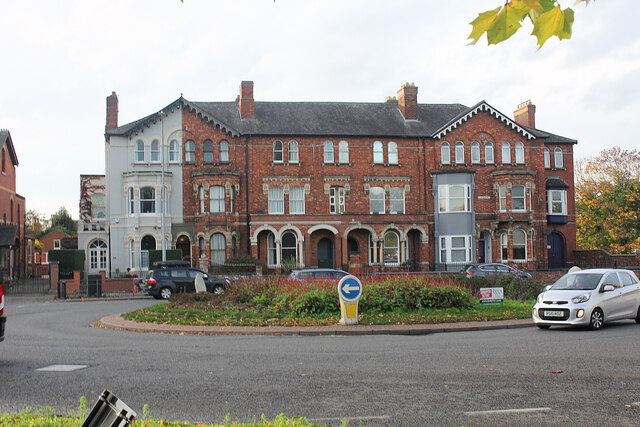
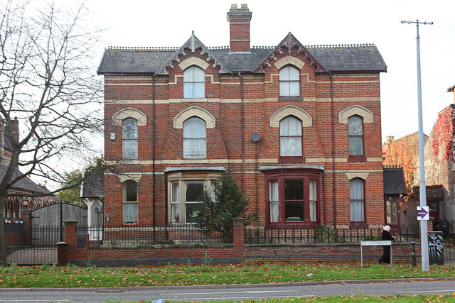
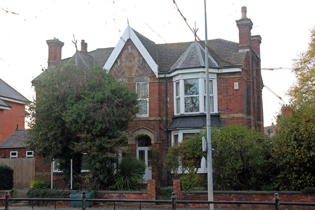
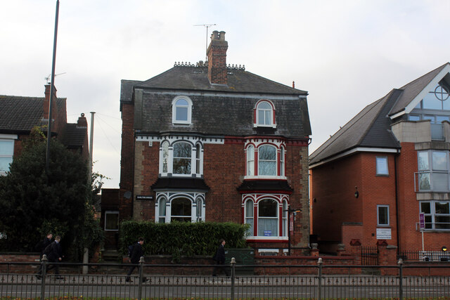
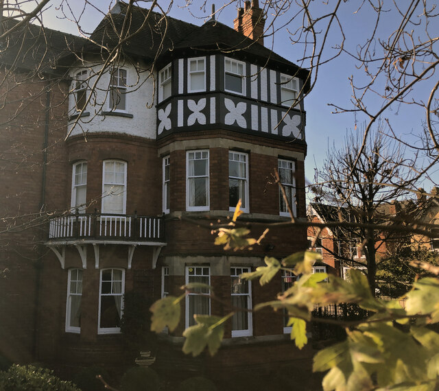
Brayford Pool Images
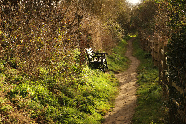
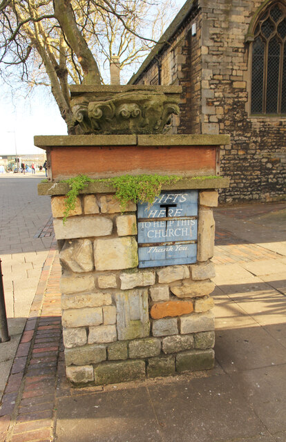
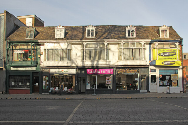
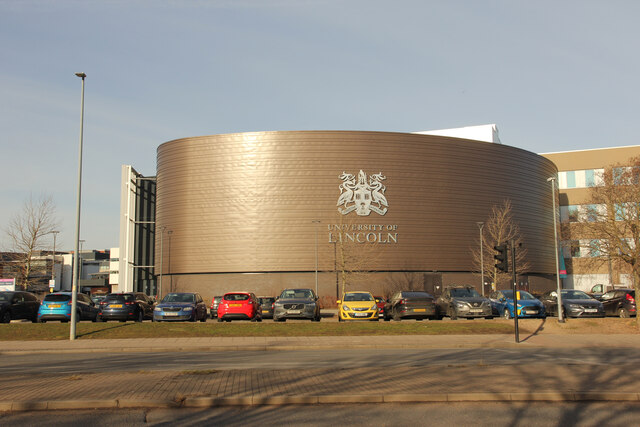
Images are sourced within 2km of 53.228781/-0.54571777 or Grid Reference SK9771. Thanks to Geograph Open Source API. All images are credited.

Brayford Pool is located at Grid Ref: SK9771 (Lat: 53.228781, Lng: -0.54571777)
Administrative County: Lincolnshire
District: Lincoln
Police Authority: Lincolnshire
What 3 Words
///swung.closes.aside. Near Lincoln, Lincolnshire
Nearby Locations
Related Wikis

Brayford Pool
Brayford Pool is a natural lake formed from a widening of the River Witham in the centre of the city of Lincoln in England. It was used as a port by the...
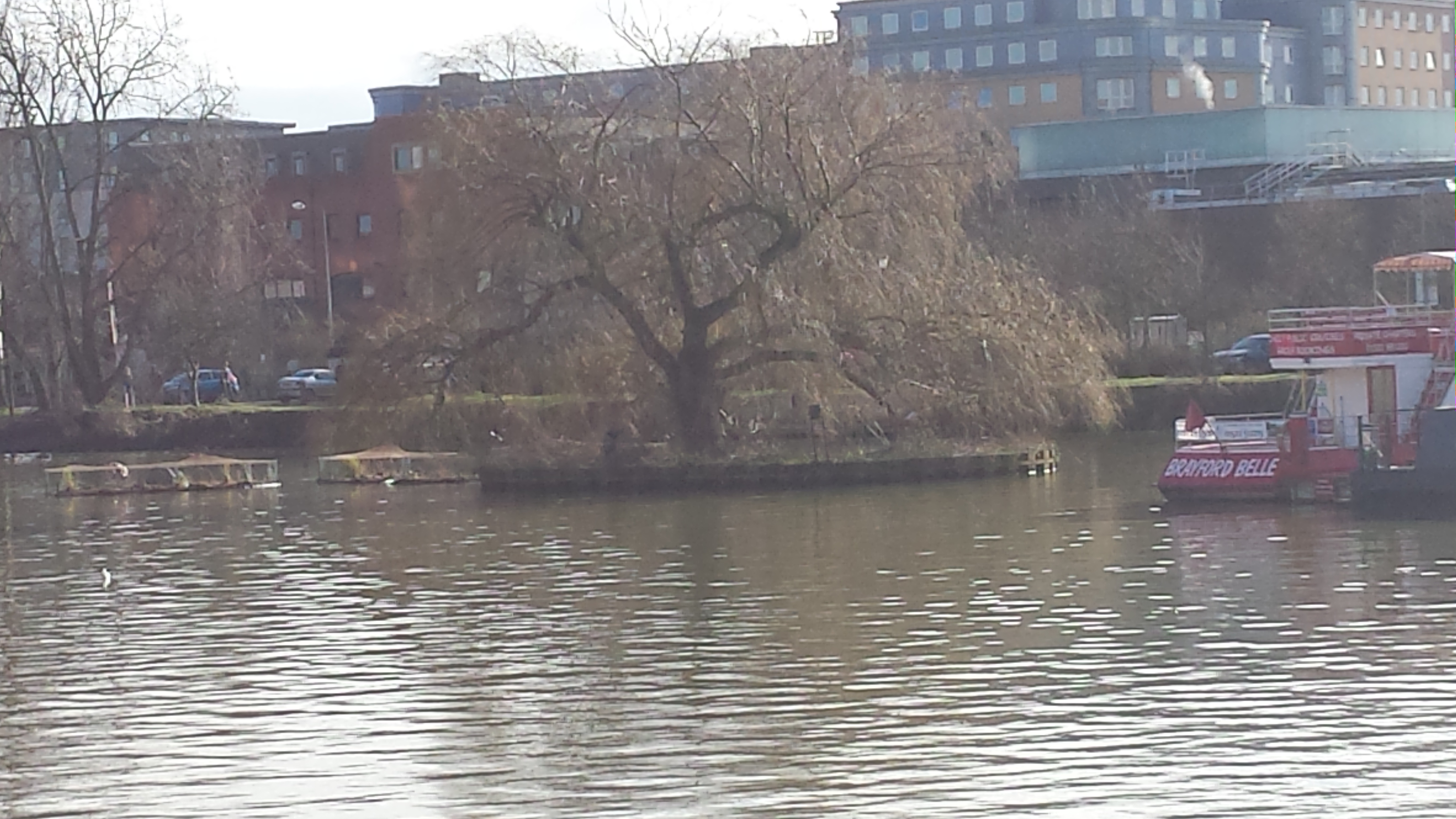
Brayford Island
The Brayford Island is a man-made island that lies in the Brayford Pool in the centre of Lincoln in England. A single willow tree covers the island. It...

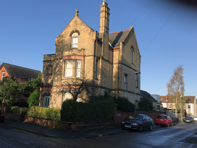
Alive Church, Lincoln
Alive Church, Lincoln is a Grade II*-listed parish church in the city of Lincoln, in Lincolnshire, England. It is an active place of worship and part of...
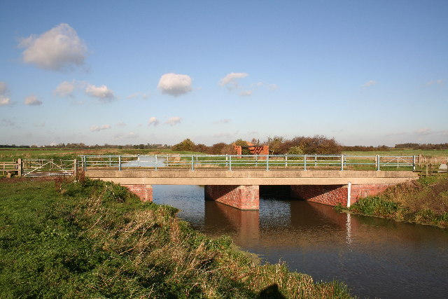
River Till, Lincolnshire
The River Till is a river in the county of Lincolnshire in England and is ultimately a tributary of the River Witham. Its upper reaches drain the land...

Lincoln Performing Arts Centre
The Lincoln Performing Arts Centre (LPAC) is a 446-seat multi-purpose auditorium, designed for live arts performances, conferences, and film screenings...
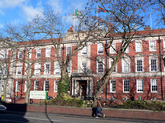
County Offices, Lincoln
The County Offices is a municipal building in Newland, Lincoln in the county of Lincolnshire in England. It is the headquarters of Lincolnshire County...

Lincoln City Hall
City Hall is a municipal structure on Beaumont Fee, Lincoln, Lincolnshire, England. The structure is currently used as the headquarters of the City of...

All Saints' Church, Lincoln
All Saints' Church, Lincoln is a parish church on Monks Road in Lincoln in the Church of England.The parish is part of the Deanery of Christianity within...
Nearby Amenities
Located within 500m of 53.228781,-0.54571777Have you been to Brayford Pool?
Leave your review of Brayford Pool below (or comments, questions and feedback).