Broad Water
Lake, Pool, Pond, Freshwater Marsh in Berkshire
England
Broad Water
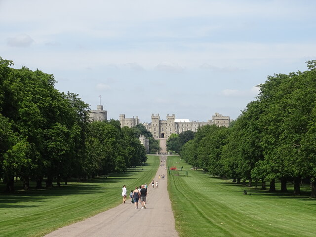
Broad Water is a picturesque freshwater lake located in Berkshire, England. Spanning an area of approximately 30 acres, it is a popular destination for nature enthusiasts and outdoor enthusiasts alike. The lake is nestled in a tranquil setting, surrounded by lush greenery and rolling hills, providing a serene and idyllic atmosphere.
As a natural body of water, Broad Water plays a significant role in supporting the local ecosystem. Its clear and clean freshwater serves as a habitat for a diverse range of aquatic flora and fauna. The lake is home to numerous species of fish, including pike, perch, and roach, making it a haven for anglers. Birdwatchers can also spot a variety of waterfowl, such as ducks, swans, and herons, enjoying the peaceful environment.
The lake itself has a gentle sloping shoreline, making it accessible for various recreational activities. Visitors can enjoy boating and canoeing, exploring the calm waters while taking in the surrounding beauty. Additionally, the lake offers ample opportunities for picnicking, with designated areas for visitors to relax and enjoy a meal amidst nature.
Broad Water is complemented by a freshwater marsh, which adds to the diverse ecology of the area. The marshland is characterized by its wet and boggy terrain, serving as a valuable habitat for wetland plants and a breeding ground for amphibians and water insects.
Overall, Broad Water in Berkshire is a scenic and ecologically rich destination for those seeking a peaceful retreat or an opportunity to observe and appreciate the wonders of nature.
If you have any feedback on the listing, please let us know in the comments section below.
Broad Water Images
Images are sourced within 2km of 51.485469/-0.60200273 or Grid Reference SU9777. Thanks to Geograph Open Source API. All images are credited.


Broad Water is located at Grid Ref: SU9777 (Lat: 51.485469, Lng: -0.60200273)
Unitary Authority: Windsor and Maidenhead
Police Authority: Thames Valley
What 3 Words
///gentle.wallet.shaky. Near Windsor, Berkshire
Nearby Locations
Related Wikis

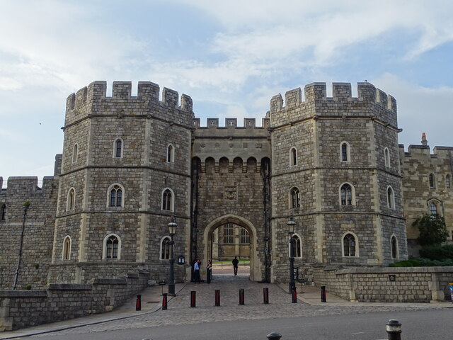
1992 Windsor Castle fire
On 20 November 1992, a fire broke out in Windsor Castle, the largest inhabited castle in the world and one of the official residences of the British Monarch...
Royal Librarian (United Kingdom)
The office of Royal Librarian, in the Royal Collection Department of the Royal Household of the Sovereign of the United Kingdom, is responsible for the...

Queen Mary's Dolls' House
Queen Mary's Dolls' House is a dollhouse built in the early 1920s, completed in 1924, for Queen Mary, the wife of King George V. It was designed by architect...
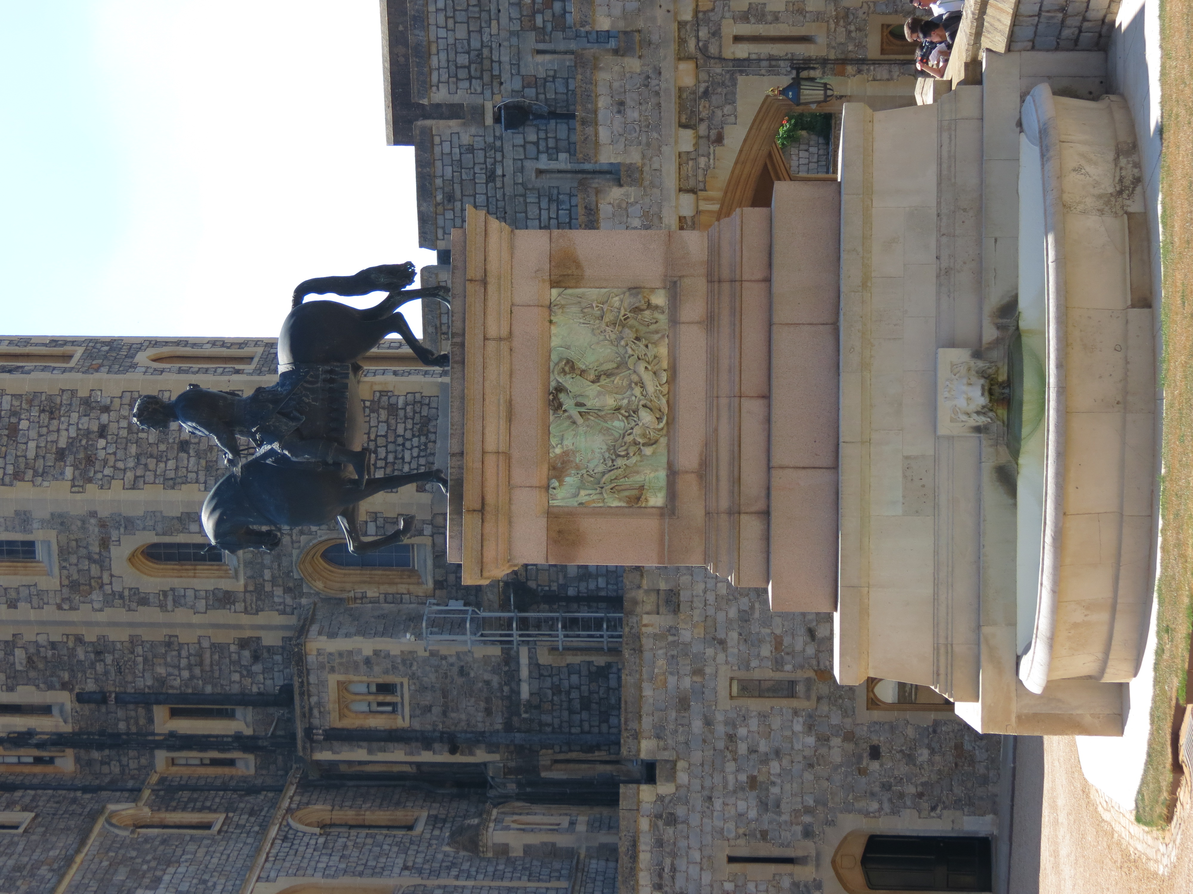
Equestrian statue of Charles II, Windsor Castle
A bronze equestrian statue of King Charles II on horseback sits in the Upper Ward of Windsor Castle beneath the castle's Round Tower. It was inspired by...
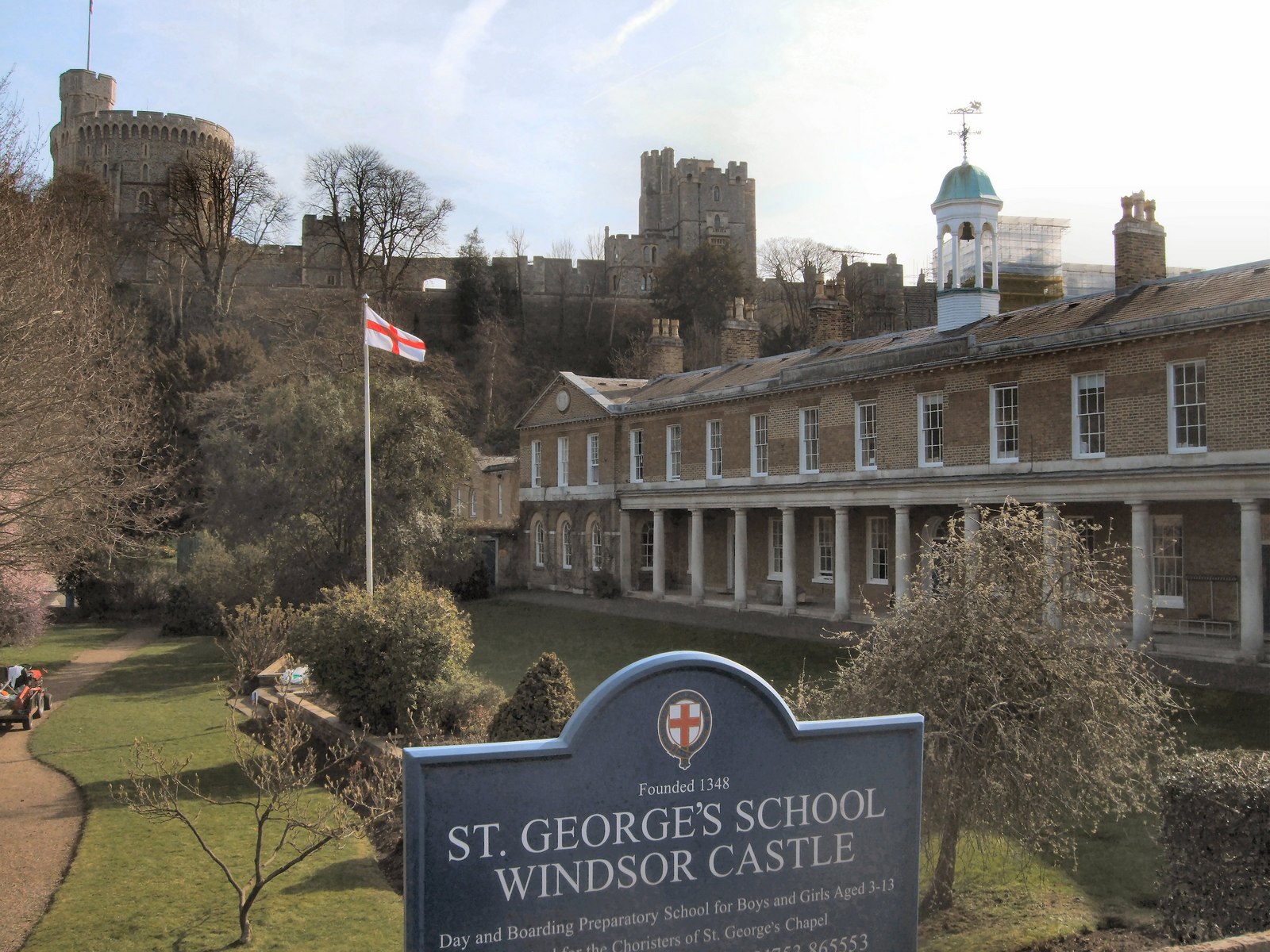
St George's School, Windsor Castle
St George's School, Windsor Castle is a co-educational independent preparatory school in Windsor, near London, England. Founded to provide choirboys for...

Print Room, Windsor
The Print Room at Windsor Castle is a print room which is an office in the Royal Collection Department of the Royal Household of the Sovereign of the United...
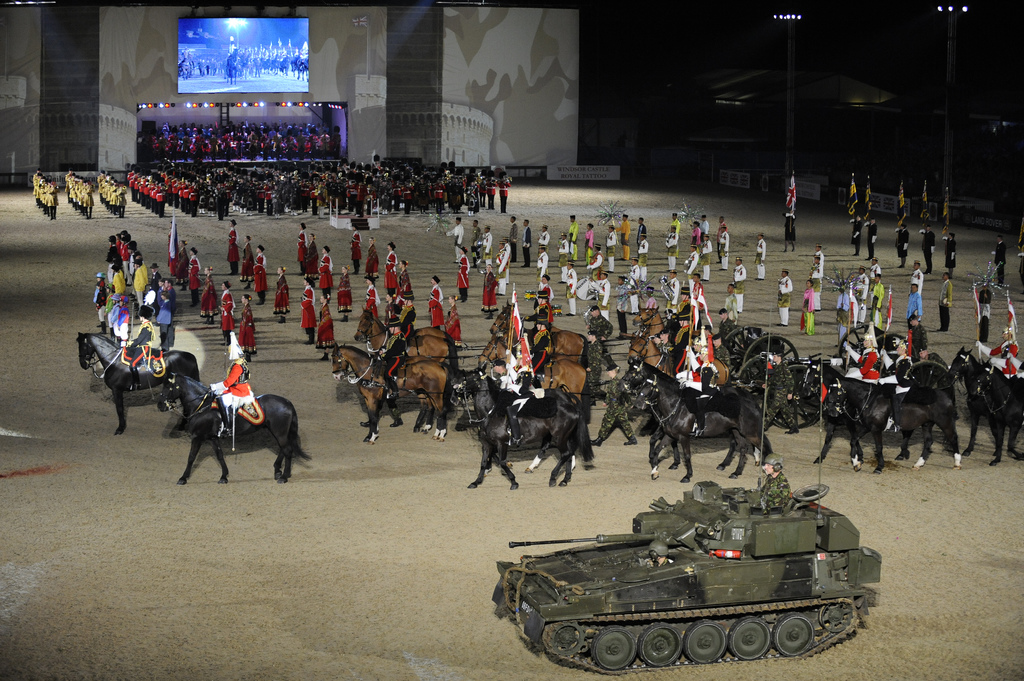
Windsor Castle Royal Tattoo
The Windsor Castle Royal Tattoo was an annual military tattoo held in the private grounds of Windsor Castle by permission of Queen Elizabeth II, from 2008...

Death and funeral of Prince Philip, Duke of Edinburgh
On 9 April 2021, Prince Philip, Duke of Edinburgh, the husband of Queen Elizabeth II of the United Kingdom and the other Commonwealth realms, and the longest...
Nearby Amenities
Located within 500m of 51.485469,-0.60200273Have you been to Broad Water?
Leave your review of Broad Water below (or comments, questions and feedback).