Shoreham Gap and Southwick
Heritage Site in Sussex Horsham
England
Shoreham Gap and Southwick

Shoreham Gap and Southwick, located in Sussex, England, are two neighboring towns known for their rich historical significance and cultural heritage. Nestled in the picturesque countryside, these towns have become popular destinations for tourists and history enthusiasts alike.
Shoreham Gap, situated on the banks of the River Adur, boasts a long and fascinating history. The town's origins can be traced back to Roman times, as evidenced by the remnants of a Roman fort discovered in the area. Over the centuries, Shoreham Gap has witnessed the rise and fall of various civilizations, leaving behind a tapestry of architectural styles and landmarks. The town is renowned for its medieval church, St. Mary de Haura, which dates back to the 12th century. Its impressive architecture and stained glass windows are a testament to the town's religious and cultural heritage.
Adjacent to Shoreham Gap lies the town of Southwick, which also shares a rich historical background. Southwick played a significant role during World War II as a strategic military location. The town's harbor served as a crucial embarkation point for the D-Day landings in 1944. Today, visitors can explore the Southwick House, a grand Georgian mansion that served as the headquarters for General Dwight D. Eisenhower during the planning of the D-Day invasion.
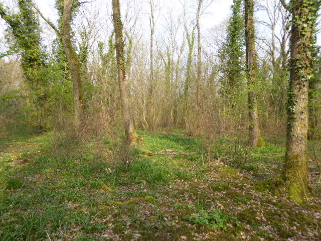
Both Shoreham Gap and Southwick offer a range of attractions and activities for visitors. From exploring the quaint streets lined with picturesque cottages to enjoying leisurely walks along the riverbank, these towns provide a serene and idyllic experience. Furthermore, the towns host various cultural events, including music festivals and art exhibitions, showcasing the vibrant local arts scene.
In conclusion, Shoreham Gap and Southwick, Sussex, are two historic towns that offer a fascinating glimpse into England's past. With their architectural marvels, natural beauty, and cultural events, these towns have become cherished heritage sites that continue to captivate visitors from near and far.
If you have any feedback on the listing, please let us know in the comments section below.
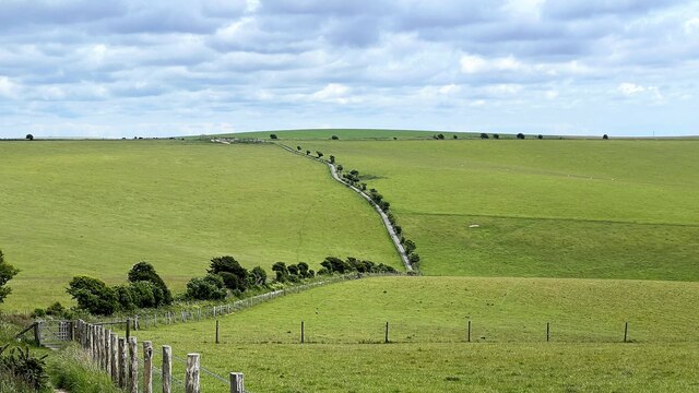
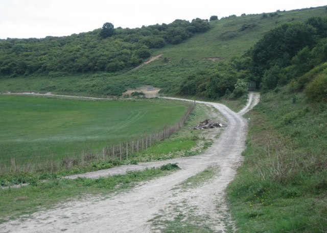
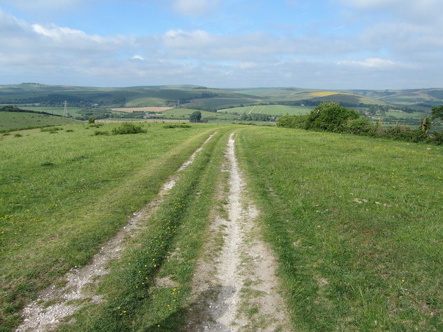
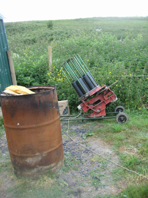
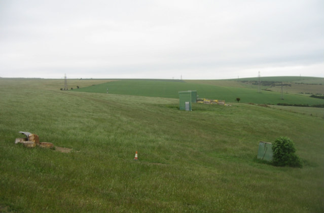
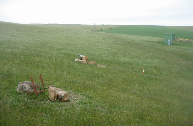
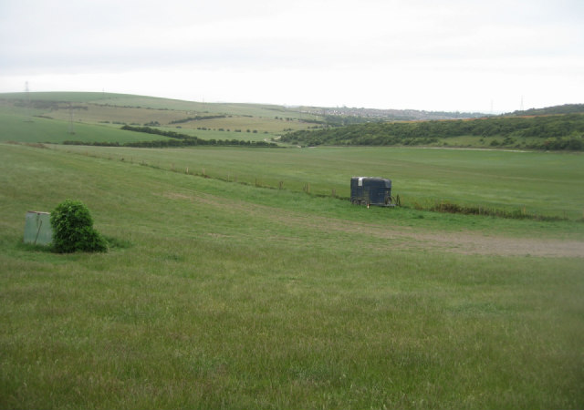
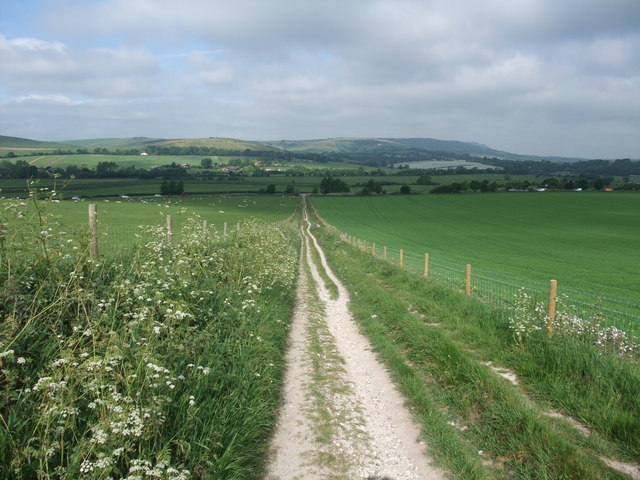
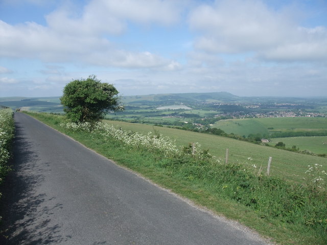
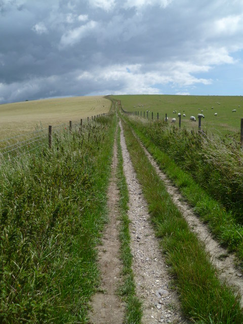
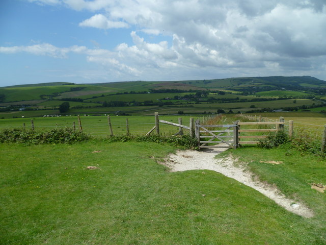
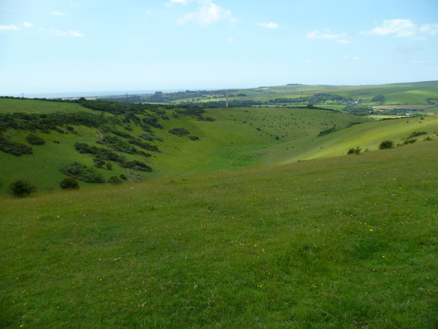
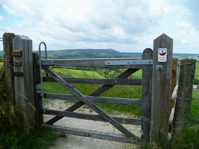
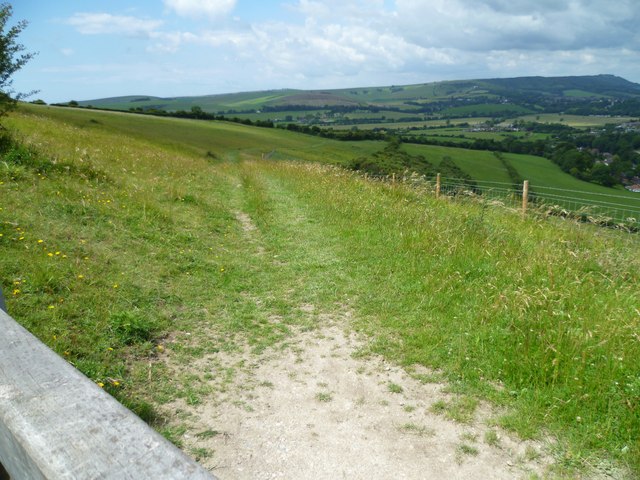
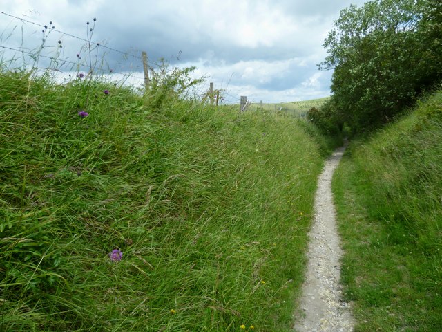
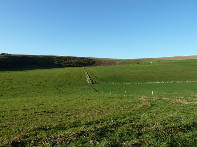
Shoreham Gap and Southwick Images
Images are sourced within 2km of 50.876/-0.267 or Grid Reference TQ2209. Thanks to Geograph Open Source API. All images are credited.

Shoreham Gap and Southwick is located at Grid Ref: TQ2209 (Lat: 50.876, Lng: -0.267)
Administrative County: West Sussex
District: Horsham
Police Authority: Sussex
What 3 Words
///beanbag.suffix.perfume. Near Steyning, West Sussex
Nearby Locations
Related Wikis

Thundersbarrow Hill
Thundersbarrow Hill is an archaeological site in West Sussex, England. It is on a chalk ridge, aligned north-west to south-east, on the South Downs north...

Erringham chapel
Erringham chapel is a former place of worship in the deserted medieval village of Old Erringham, north of Shoreham-by-Sea in the district of Adur, one...

Edburton
Edburton is a small village and former civil parish, now in the parish of Upper Beeding, in the Horsham district, in the county of West Sussex, England...

Edburton Castle Ring
Edburton Castle Ring (or Castle Rings) is an archaeological site in West Sussex, England, on the peak of Edburton Hill on the South Downs, near the villages...
Towers Convent School
The Towers Convent School was a private Roman Catholic boarding and day school for girls aged 4–16 and boys up to age 11 in Upper Beeding near Steyning...

Horton Clay Pit
Horton Clay Pit is a 0.4-hectare (0.99-acre) geological Site of Special Scientific Interest in Small Dole in West Sussex. It is a Geological Conservation...
Tottington Wood
Tottington Wood is a 5.1-hectare (13-acre) Local Nature Reserve in Small Dole in West Sussex. It is owned by Hopegar Properties and managed by The Tottington...

Mill Hill, Shoreham
Mill Hill is a 13.5-hectare (33-acre) Local Nature Reserve on the northern outskirts of Shoreham-by-Sea in West Sussex. It is owned by Adur District Council...
Nearby Amenities
Located within 500m of 50.876,-0.267Have you been to Shoreham Gap and Southwick?
Leave your review of Shoreham Gap and Southwick below (or comments, questions and feedback).