Bushy Bottom
Valley in Sussex Adur
England
Bushy Bottom
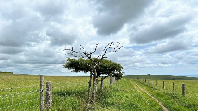
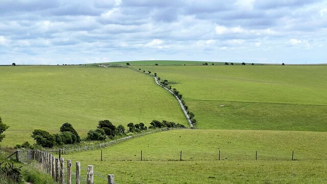
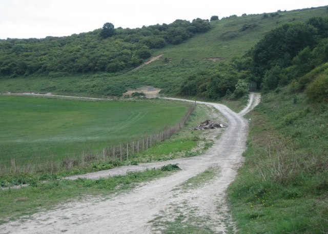
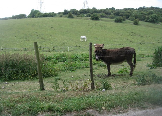
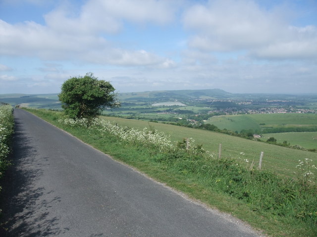
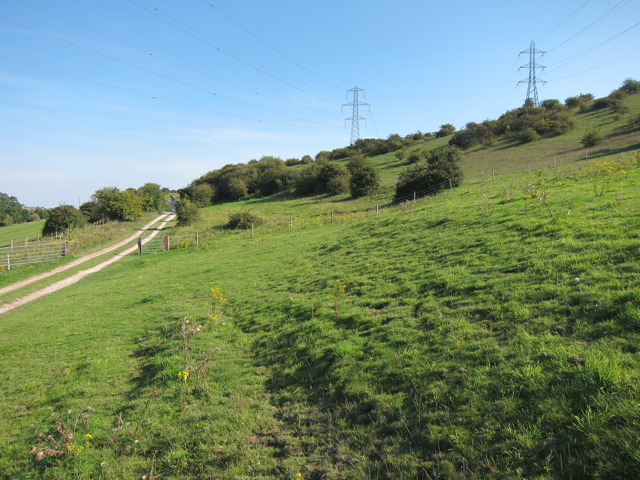
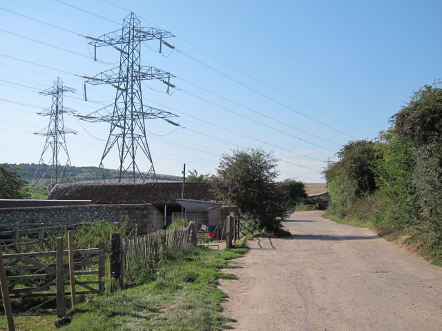
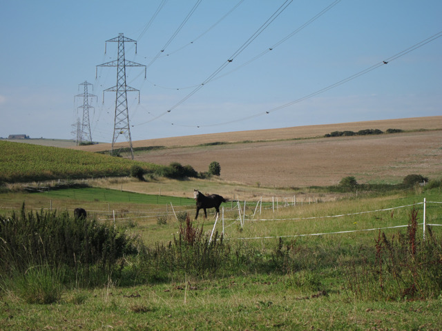
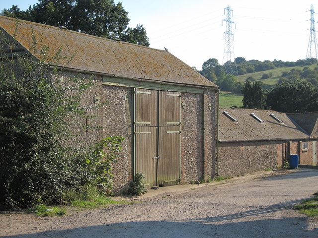
Bushy Bottom is a picturesque village nestled in the heart of Sussex County, England. Located in the scenic Sussex Valley, it is known for its idyllic countryside setting and charming rural ambiance. The village is surrounded by lush green fields, rolling hills, and dense woodlands, providing a tranquil retreat for both residents and visitors.
Bushy Bottom boasts a small population, creating a close-knit and friendly community. The village is primarily residential, with traditional cottages and farmhouses dotting its landscape. The architecture reflects the region's rich history, with some buildings dating back several centuries.
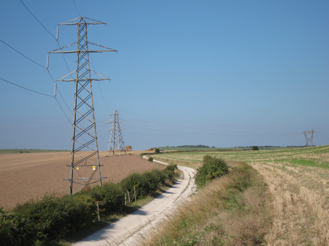
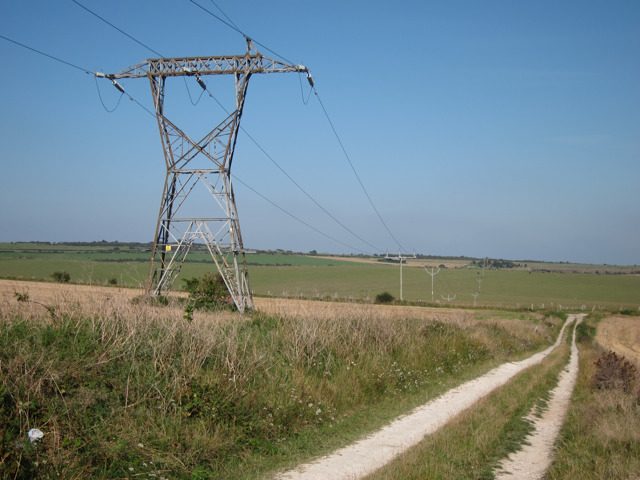
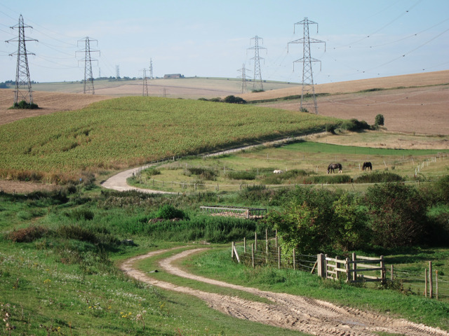
Nature enthusiasts will find an abundance of outdoor activities to indulge in. The nearby Sussex Valley offers numerous hiking trails, perfect for exploring the stunning scenery and spotting local wildlife. The village is also home to several parks and green spaces, providing ample opportunities for picnics, leisurely walks, or simply enjoying the fresh country air.
Although Bushy Bottom is a peaceful haven, it is conveniently located within reach of larger towns and amenities. The bustling market town of Sussex is just a short drive away, offering a wide range of shops, restaurants, and cultural attractions.
Overall, Bushy Bottom in Sussex Valley is a charming village that encapsulates the beauty of the English countryside. Its serene atmosphere, combined with its convenient location and historical charm, makes it an attractive destination for those seeking a tranquil and picturesque retreat.
If you have any feedback on the listing, please let us know in the comments section below.
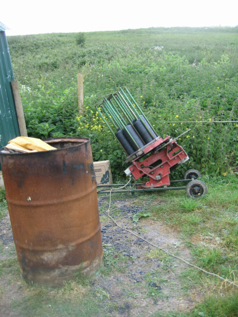
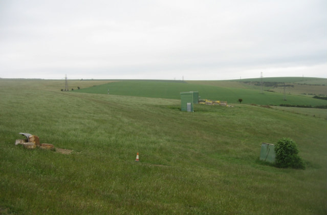
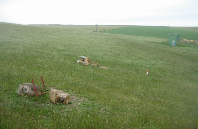
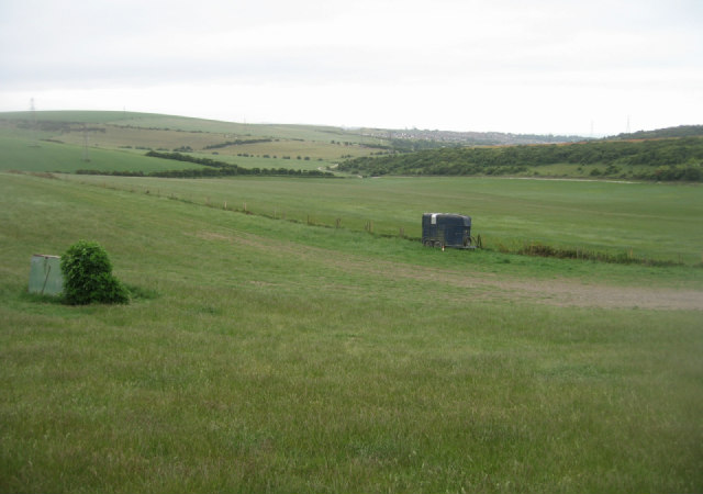
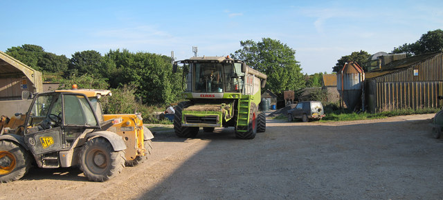
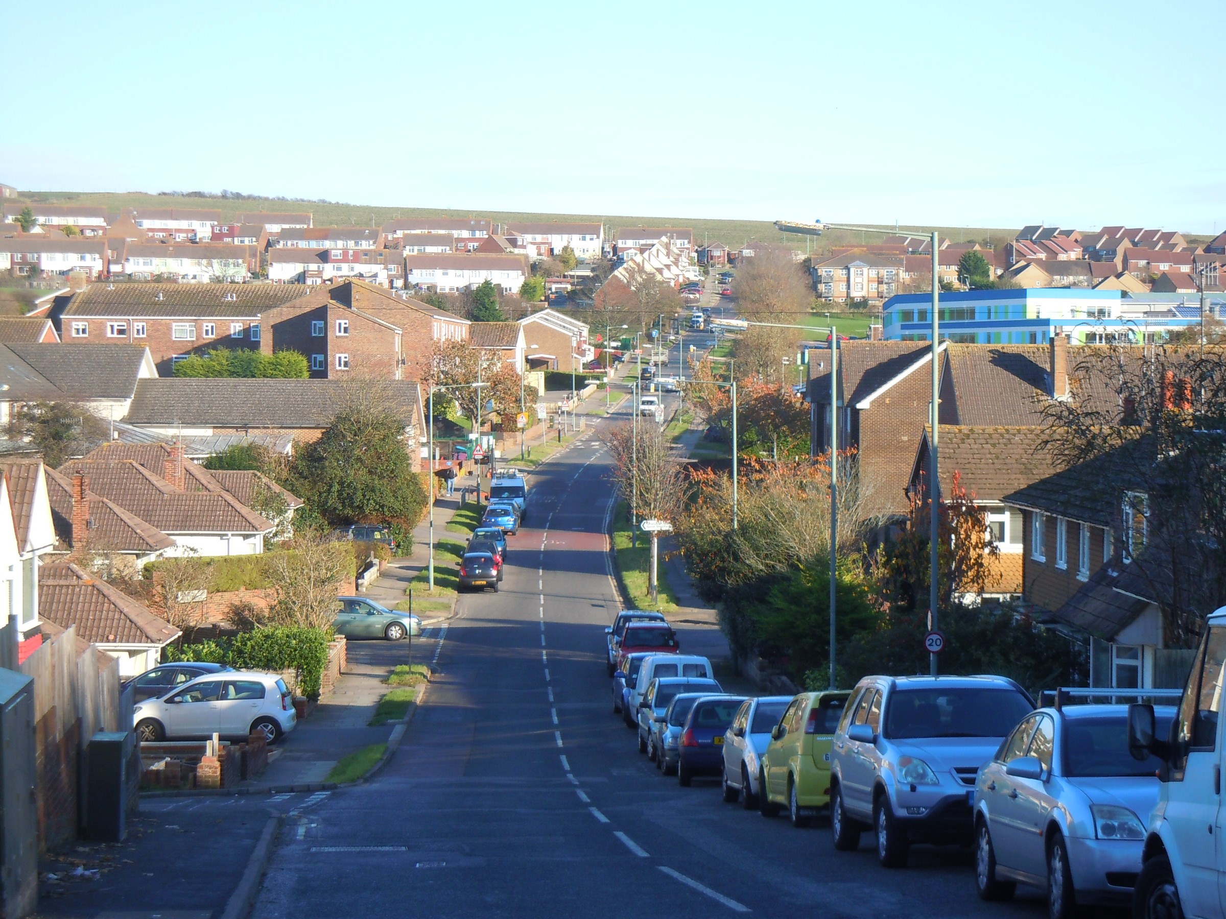
Bushy Bottom Images
Images are sourced within 2km of 50.871148/-0.25437332 or Grid Reference TQ2209. Thanks to Geograph Open Source API. All images are credited.

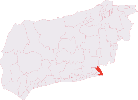
Bushy Bottom is located at Grid Ref: TQ2209 (Lat: 50.871148, Lng: -0.25437332)
Administrative County: West Sussex
District: Adur
Police Authority: Sussex
What 3 Words
///conjured.stated.breath. Near Portslade, East Sussex
Nearby Locations
Related Wikis

Thundersbarrow Hill
Thundersbarrow Hill is an archaeological site in West Sussex, England. It is on a chalk ridge, aligned north-west to south-east, on the South Downs north...

Edburton Castle Ring
Edburton Castle Ring (or Castle Rings) is an archaeological site in West Sussex, England, on the peak of Edburton Hill on the South Downs, near the villages...

Edburton
Edburton is a small village and former civil parish, now in the parish of Upper Beeding, in the Horsham district, in the county of West Sussex, England...
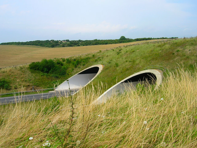
Southwick Hill Tunnel
The Southwick Hill Tunnel is a 490-metre twin-bore road tunnel to the north of Southwick, England. The tunnel was opened in early 1996 as part of the A27...
Mile Oak
Mile Oak is a locality forming the northern part of the former parish of Portslade in the northwest corner of the city of Brighton and Hove, England....

Erringham chapel
Erringham chapel is a former place of worship in the deserted medieval village of Old Erringham, north of Shoreham-by-Sea in the district of Adur, one...
Southwick (electoral division)
Southwick is an electoral division of West Sussex in the United Kingdom, and returns one member to sit on West Sussex County Council. == Extent == The...

Mill Hill, Shoreham
Mill Hill is a 13.5-hectare (33-acre) Local Nature Reserve on the northern outskirts of Shoreham-by-Sea in West Sussex. It is owned by Adur District Council...
Nearby Amenities
Located within 500m of 50.871148,-0.25437332Have you been to Bushy Bottom?
Leave your review of Bushy Bottom below (or comments, questions and feedback).