Howe Dell

Valley in Hertfordshire Welwyn Hatfield

England

Howe Dell

Inside the Horse and Groom, Hatfield A lovely old public  house.
Inside the Horse and Groom, Hatfield Credit: Christine Matthews

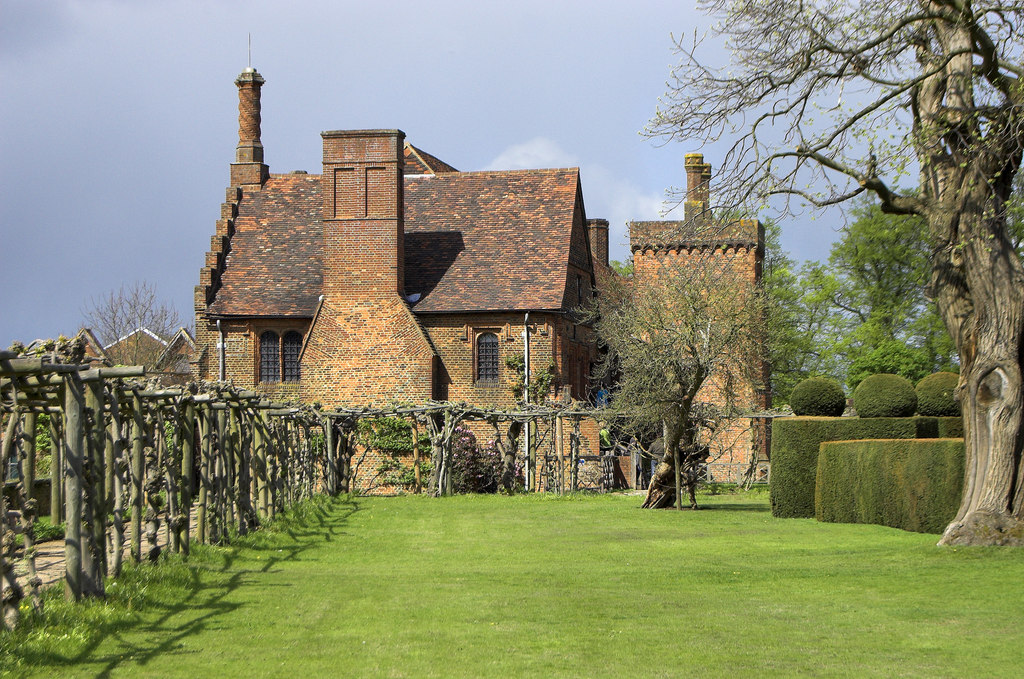
Howe Dell is a small valley located in Hertfordshire, England. It is situated within the borough of Welwyn Hatfield, approximately 25 miles north of central London. The valley is surrounded by picturesque countryside and offers a peaceful and serene environment.

The area is known for its natural beauty, with rolling hills, lush green fields, and meandering streams. It is a popular destination for nature lovers and outdoor enthusiasts, who can enjoy activities such as hiking, cycling, and birdwatching in the surrounding countryside.

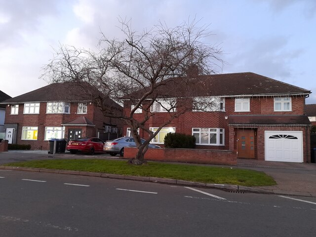
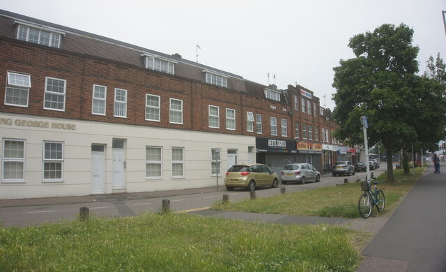
Howe Dell is also home to a small community, with a mix of residential and commercial properties. The valley is dotted with charming cottages and modern houses, providing a range of housing options for residents. There are also a few local shops, cafes, and amenities within easy reach.

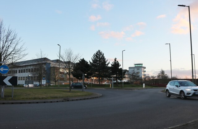
The valley is well-connected to nearby towns and cities, with good transport links. The A1(M) motorway is just a short drive away, providing easy access to London and other major cities. The nearby Welwyn Garden City railway station offers regular train services to London Kings Cross, making it a convenient location for commuters.

Overall, Howe Dell offers a peaceful and idyllic setting, perfect for those seeking a quieter lifestyle while still being within easy reach of urban amenities. With its natural beauty and close-knit community, it is a hidden gem within Hertfordshire.

If you have any feedback on the listing, please let us know in the comments section below.
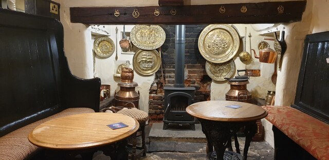
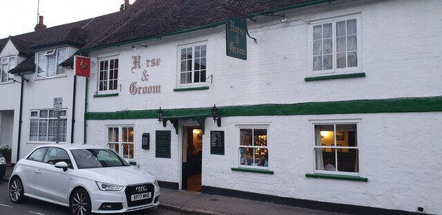
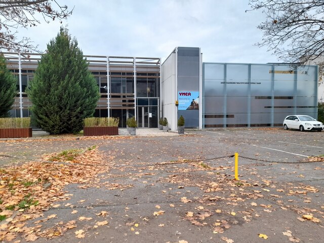
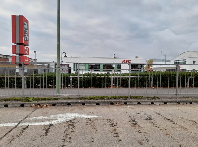
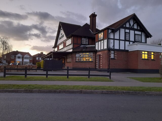
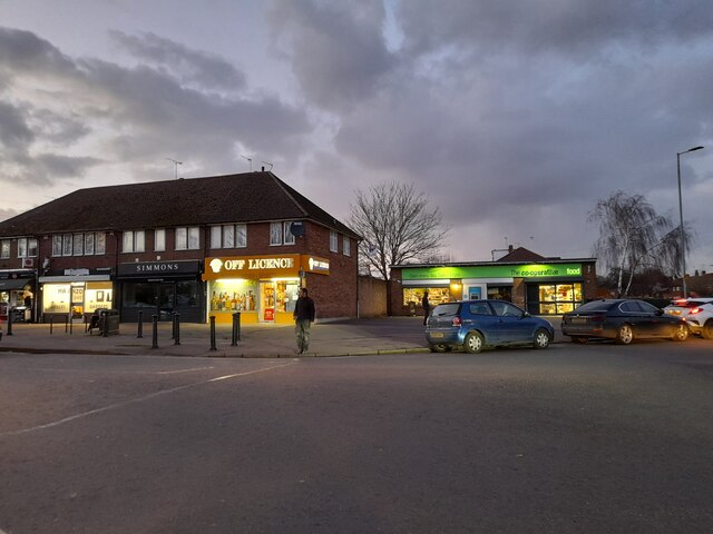
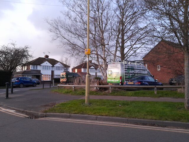
Howe Dell Images

Images are sourced within 2km of 51.756822/-0.22114088 or Grid Reference TL2207. Thanks to Geograph Open Source API. All images are credited.

Inside the Horse and Groom, Hatfield A lovely old public  house.
Inside the Horse and Groom, Hatfield
A lovely old public house.
Horse and Groom, Hatfield A lovely old public  house.
Horse and Groom, Hatfield
A lovely old public house.
Old Hatfield at Night Moon behind clouds.
Old Hatfield at Night
Moon behind clouds.
The Galleria, Hatfield
The YMCA on Comet Way, Hatfield
The Galleria, Hatfield
KFC on Comet Way, Hatfield This is an original art deco building which has been fully restored
KFC on Comet Way, Hatfield
This is an original art deco building which has been fully restored
The Hopfields, Birchwood A very typical suburban pub style.
The Hopfields, Birchwood
A very typical suburban pub style.
Shops on Birchwood Avenue, Hatfield
Birchwood Avenue, Hatfield
Houses on Birchwood Avenue, Hatfield
Houses on Cornerfield, Birchwood
Green on Cornerfield, Birchwood Looking towards Longmead
Green on Cornerfield, Birchwood
Looking towards Longmead
Roundabout on Dragon Road, Hatfield
Hatfield Central Travelodge
Harpsfield Hall public house A Wetherspoons public house, Hatfield.
Harpsfield Hall public house
A Wetherspoons public house, Hatfield.
Harpsfield Broadway, Hatfield
Show me another place!

Howe Dell is located at Grid Ref: TL2207 (Lat: 51.756822, Lng: -0.22114088)

Administrative County: Hertfordshire

District: Welwyn Hatfield

Police Authority: Hertfordshire

What 3 Words

///rises.lawn.sector. Near Hatfield, Hertfordshire

Nearby Locations

Howe Dell Oxlease

Related Wikis

Howe Dell

Howe Dell is a 4 hectare Local Nature Reserve in Hatfield in Hertfordshire. The declaring authority is Welwyn Hatfield Borough Council. The site is woodland...

Hatfield rail crash

The Hatfield rail crash was a railway accident on 17 October 2000, at Hatfield, Hertfordshire. It was caused by a metal fatigue-induced derailment, killing...

Onslow St Audrey's School

Onslow St Audrey's School is a co-educational secondary school and sixth form situated in Hatfield, Hertfordshire in England. It specialises in business...

Bishop's Hatfield Girls' School

Bishop's Hatfield Girls' School is a girls' secondary academy school for years 7 to sixth form. It is located in Hatfield, Hertfordshire in Wood's Avenue...

Oxleys Wood

Oxleys Wood is a 1.2 hectare Local Nature Reserve in Hatfield in Hertfordshire. The declaring authority is Welwyn Hatfield Borough Council. The wood floods...

Old Hatfield

Old Hatfield, sometimes called Bishops Hatfield, is a historic village in Hertfordshire, England. It is in the town of Hatfield. It grew up on the Great...

St Etheldreda's Church, Hatfield

St Etheldreda's is the Anglican parish church of Old Hatfield, Hertfordshire in the United Kingdom. Parts of the building are 13th century and there...

Hatfield, Hertfordshire

Hatfield is a town and civil parish in Hertfordshire, England, in the borough of Welwyn Hatfield. It had a population of 29,616 in 2001, 39,201 at the...

Nearby Amenities

Located within 500m of 51.756822,-0.22114088
Mini Roundabout
Direction: clockwise
Lat/Long: 51.7530349/-0.2226086
Hatfield Rail Crash (2000) Memorial
Historic: memorial
Note: Dedicated to victims of a railway Accident in 2000
Lat/Long: 51.7557729/-0.22031
Bus Stop
Elm Drive
Bus: yes
Naptan AtcoCode: 210021602560
Naptan Bearing: SW
Naptan CommonName: Elm Drive
Naptan Indicator: opp
Naptan Landmark: Unknown
Naptan NaptanCode: hrtapmtj
Naptan PlusbusZoneRef: HATFILD
Naptan ShortCommonName: NA
Naptan Street: Woods Avenue
Naptan Verified: no
Public Transport: platform
Shelter: no
Source: naptan_import
Lat/Long: 51.7557592/-0.2251831
Bus Stop
Elm Drive
Bus: yes
Local Ref: NR
Naptan AtcoCode: 210021605180
Naptan Bearing: NE
Naptan CommonName: Elm Drive
Naptan Indicator: nr
Naptan Landmark: Unknown
Naptan NaptanCode: hrtapdjp
Naptan PlusbusZoneRef: HATFILD
Naptan ShortCommonName: NA
Naptan Street: Woods Avenue
Naptan Verified: no
Public Transport: platform
Shelter: no
Source: naptan_import
Lat/Long: 51.7553389/-0.2262525
Bus Stop
St Philip Howard School
Bus: yes
Local Ref: NR
Naptan AtcoCode: 210021605200
Naptan Bearing: N
Naptan CommonName: St Philip Howard School
Naptan Crossing: Woods Avenue St Philip Howard School
Naptan Indicator: nr
Naptan Landmark: Woods Avenue St Philip Howard School
Naptan NaptanCode: hrtapdjt
Naptan PlusbusZoneRef: HATFILD
Naptan ShortCommonName: NA
Naptan Street: Woods Avenue
Naptan Verified: no
Public Transport: platform
Shelter: no
Source: naptan_import
Lat/Long: 51.7581554/-0.2248481
Turning Circle
Lat/Long: 51.7532662/-0.2255361
Crossing
Crossing: unmarked
Crossing Island: no
Crossing Markings: no
Tactile Paving: no
Lat/Long: 51.7594656/-0.2227159
Oxlease
Is In: Hatfield
Place: suburb
Lat/Long: 51.7543772/-0.2268252
Crossing
Crossing: traffic_signals
Tactile: yes
Lat/Long: 51.7556912/-0.225513
Post Box
Collection Times: Mo-Fr 09:00, Sa 07:00
Operator: Royal Mail
Operator Wikidata: Q638098
Post Box Type: pillar
Ref: AL10 299
Lat/Long: 51.7532873/-0.2229719
Crossing
Crossing: unmarked
Crossing Island: yes
Crossing Markings: no
Tactile Paving: yes
Lat/Long: 51.7542091/-0.2269143
Crossing
Crossing: unmarked
Crossing Island: yes
Crossing Markings: no
Tactile Paving: yes
Lat/Long: 51.7545396/-0.2267838
Crossing
Crossing: unmarked
Crossing Island: yes
Crossing Markings: no
Tactile Paving: yes
Lat/Long: 51.7544005/-0.2271279
Crossing
Crossing: unmarked
Crossing Island: no
Crossing Markings: no
Tactile Paving: yes
Lat/Long: 51.7550893/-0.2263396
Crossing
Crossing: unmarked
Crossing Island: yes
Crossing Markings: no
Tactile Paving: yes
Lat/Long: 51.7543447/-0.2265871
Crossing
Crossing: traffic_signals
Crossing Island: no
Crossing Ref: toucan
Tactile Paving: yes
Lat/Long: 51.757568/-0.2243777
Crossing
Crossing: unmarked
Crossing Island: no
Crossing Markings: no
Tactile Paving: yes
Lat/Long: 51.7573261/-0.2241235
Entrance: yes
Lat/Long: 51.7546281/-0.2273268
Crossing
Crossing: unmarked
Crossing Island: no
Crossing Markings: no
Tactile Paving: no
Lat/Long: 51.7609206/-0.2217826
Crossing
Crossing: unmarked
Crossing Island: no
Crossing Markings: no
Tactile Paving: no
Lat/Long: 51.7607029/-0.2219744
Traffic Signals
Traffic Signals: pedestrian_crossing
Traffic Signals Direction: forward
Lat/Long: 51.7557227/-0.2254576
Traffic Signals
Crossing Ref: pelican
Traffic Signals: pedestrian_crossing
Traffic Signals Direction: backward
Lat/Long: 51.7556614/-0.2255654
Traffic Signals
Traffic Signals: pedestrian_crossing
Traffic Signals Direction: forward
Lat/Long: 51.7576287/-0.2244189
Traffic Signals
Traffic Signals: pedestrian_crossing
Traffic Signals Direction: backward
Lat/Long: 51.7575112/-0.2243476
Crossing
Crossing: unmarked
Crossing Island: no
Crossing Markings: no
Tactile Paving: no
Lat/Long: 51.7555543/-0.2258946
The data included in this document is from www.openstreetmap.org. The data is made available under ODbL.

Have you been to Howe Dell?

Leave your review of Howe Dell below (or comments, questions and feedback).