Brigg Bottom
Valley in Yorkshire
England
Brigg Bottom
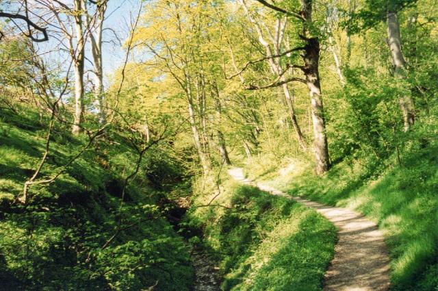
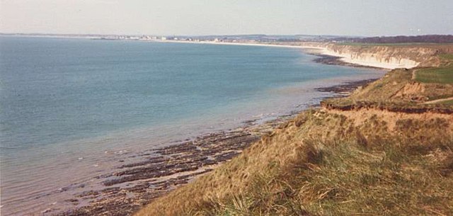
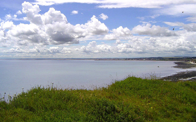
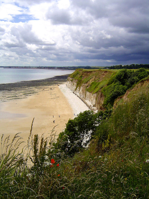
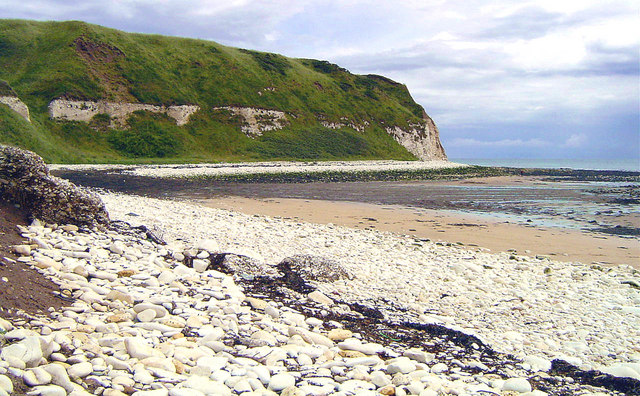
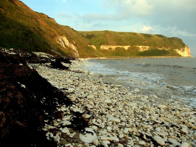
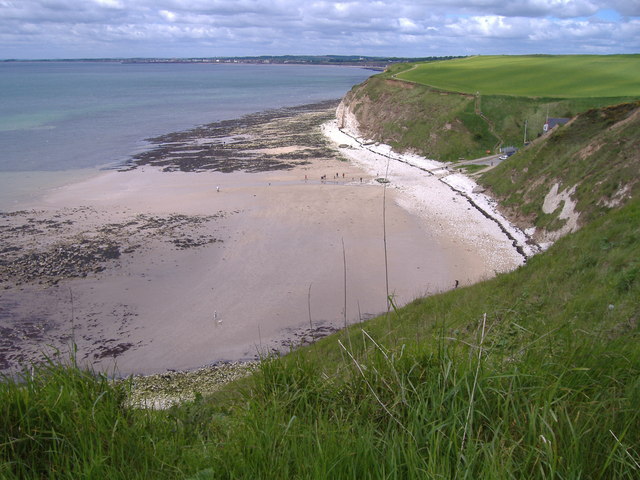
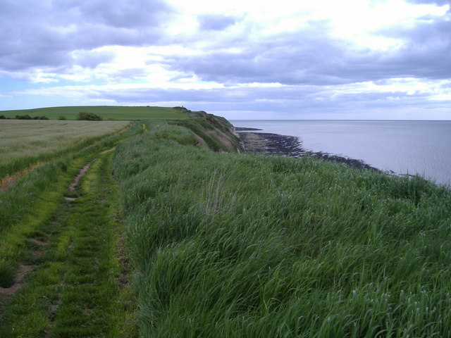
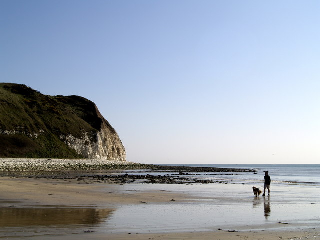
Brigg Bottom is a picturesque valley situated in the county of Yorkshire, England. Nestled amidst the rolling hills and verdant countryside, this rural haven is renowned for its natural beauty and tranquil atmosphere. The valley is located in close proximity to the small village of Brigg, which lends its name to the area.
The valley is characterized by its lush green meadows, dotted with a patchwork of grazing sheep and cattle. It is traversed by a meandering stream that flows gently through the valley, adding to its charm. The stream is home to a variety of aquatic life, including freshwater fish and insects, making it a popular spot for fishing enthusiasts.
The valley is also a haven for wildlife, attracting a diverse range of species. Birdwatchers can delight in spotting a myriad of feathered friends, including kestrels, owls, and woodpeckers. Additionally, the valley is home to rabbits, foxes, and other small mammals.
Brigg Bottom offers visitors the opportunity to explore its natural wonders through a network of hiking trails and footpaths. These paths wind their way through the valley, providing stunning views of the surrounding countryside and offering a chance to immerse oneself in the peaceful ambiance.
The valley is also steeped in history, with evidence of human habitation dating back centuries. Ruins of old farmhouses and stone walls can be seen, serving as a reminder of the valley's agricultural past.
In summary, Brigg Bottom is a picturesque valley in Yorkshire, offering visitors a tranquil escape to nature with its scenic beauty, diverse wildlife, and rich history.
If you have any feedback on the listing, please let us know in the comments section below.
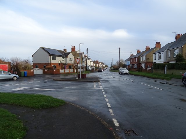
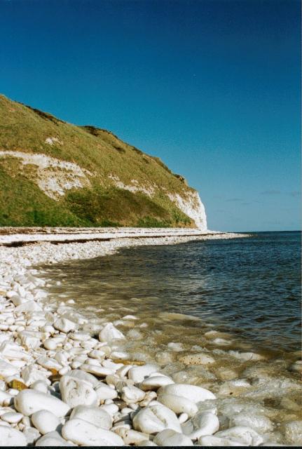
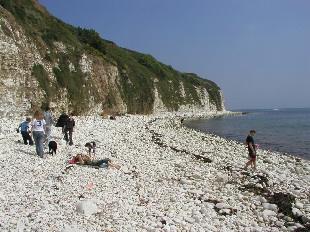
Brigg Bottom Images
Images are sourced within 2km of 54.113339/-0.11734736 or Grid Reference TA2370. Thanks to Geograph Open Source API. All images are credited.


Brigg Bottom is located at Grid Ref: TA2370 (Lat: 54.113339, Lng: -0.11734736)
Division: East Riding
Unitary Authority: East Riding of Yorkshire
Police Authority: Humberside
What 3 Words
///roadshow.albatross.smarting. Near Flamborough, East Yorkshire
Nearby Locations
Related Wikis

Flamborough
Flamborough is a village and civil parish in the East Riding of Yorkshire, England. It is situated approximately 4 miles (6 km) north-east of Bridlington...

Flamborough Lifeboat Station
Flamborough Lifeboat Station is a Royal National Lifeboat Institution (RNLI) lifeboat station located at Flamborough in the East Riding of Yorkshire, England...
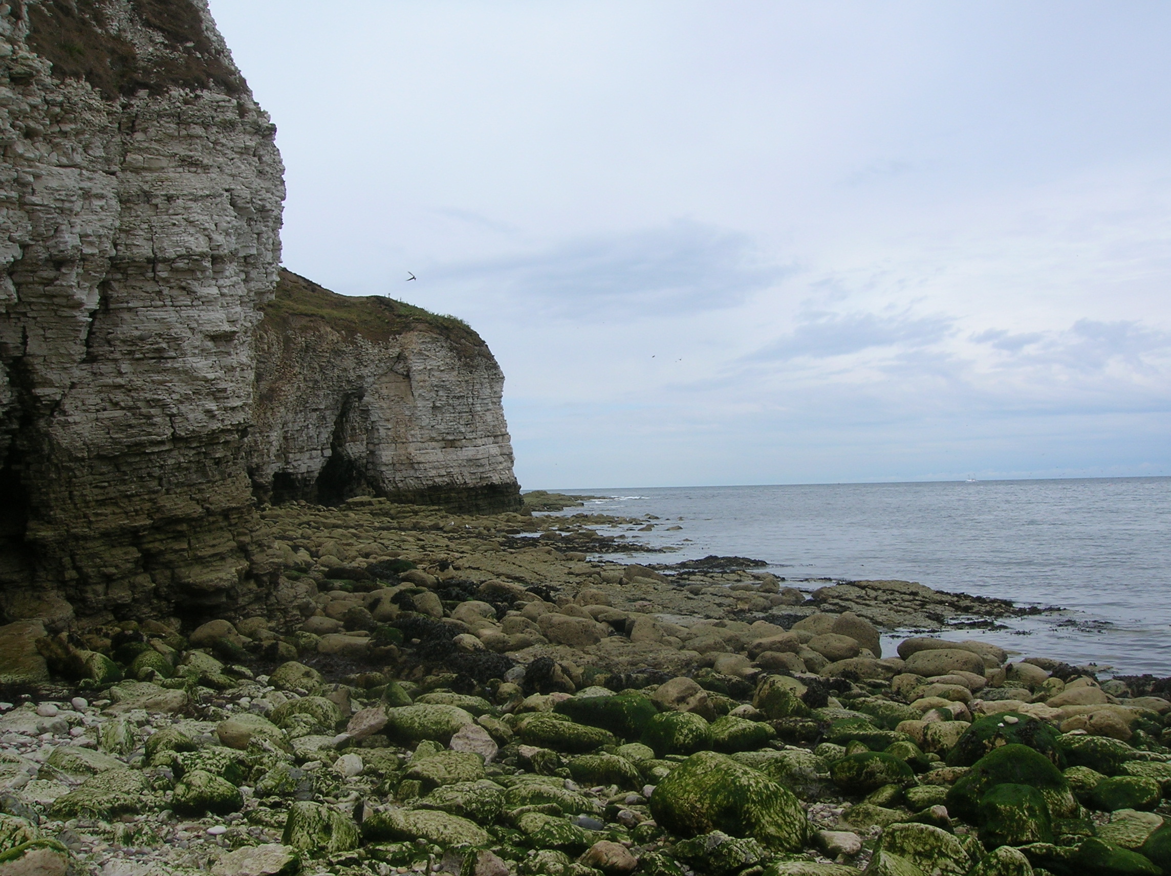
Flamborough Head
Flamborough Head () is a promontory, 8 miles (13 km) long on the Yorkshire coast of England, between the Filey and Bridlington bays of the North Sea. It...

Sewerby Hall
Sewerby Hall (also known as Sewerby House) is a Grade I listed Georgian country house set in 50 acres (20 ha) of landscaped gardens in the village of Sewerby...

Sewerby
Sewerby is a village in the East Riding of Yorkshire, England approximately 1 mile (1.6 km) north-east of Bridlington on the North Sea coast. The village...

Flamborough railway station
Flamborough railway station was located in the village of Marton, and was originally named after that location. However, there were several other railway...
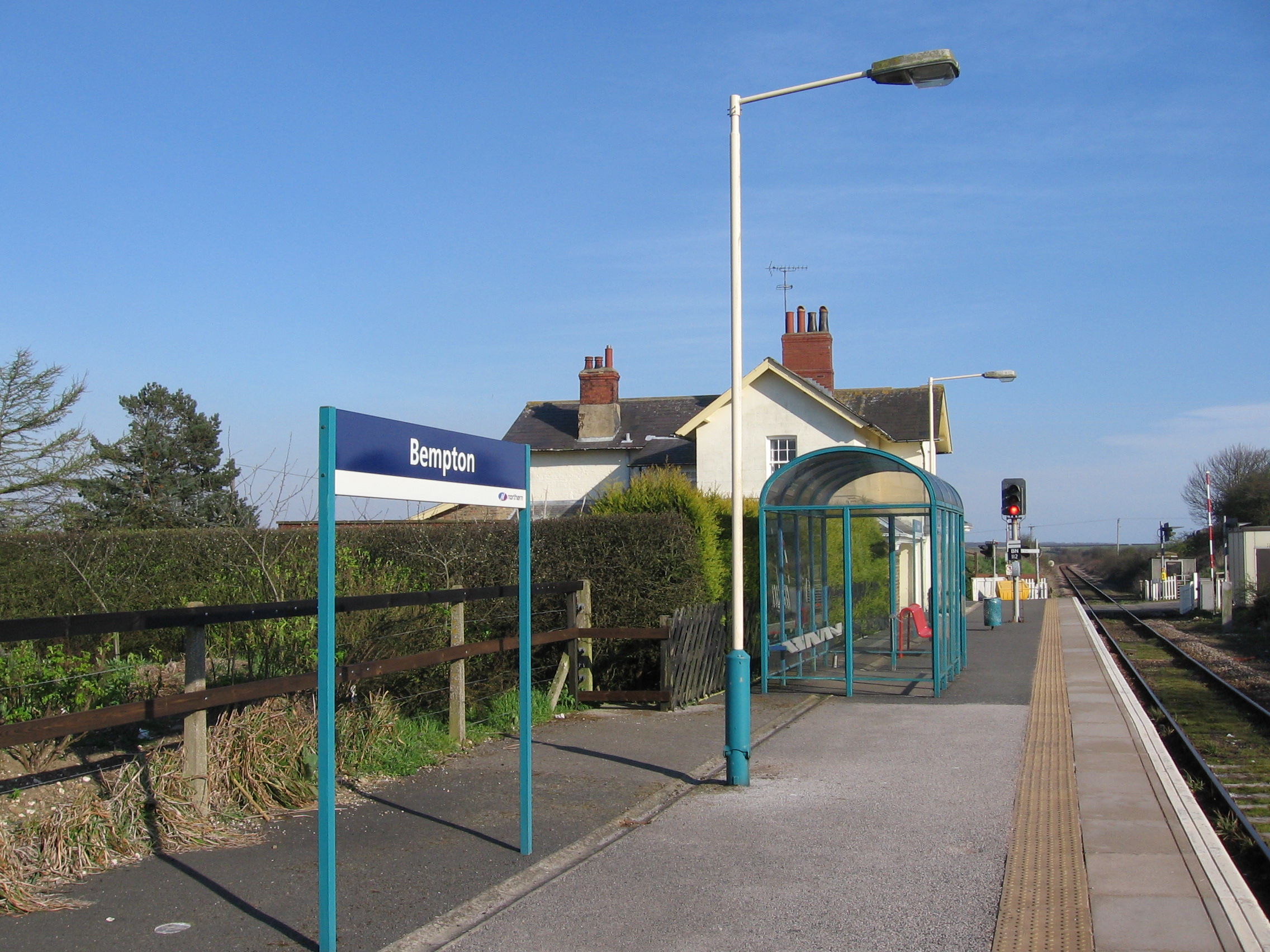
Bempton railway station
Bempton railway station serves the village of Bempton in the East Riding of Yorkshire, England. It is located on the Yorkshire Coast Line and is operated...

Bempton
Bempton is a village and civil parish in the East Riding of Yorkshire, England, near the border with North Yorkshire. It is near the North Sea coast and...
Nearby Amenities
Located within 500m of 54.113339,-0.11734736Have you been to Brigg Bottom?
Leave your review of Brigg Bottom below (or comments, questions and feedback).