Hazelholt Bottom
Valley in Sussex Adur
England
Hazelholt Bottom
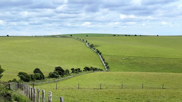
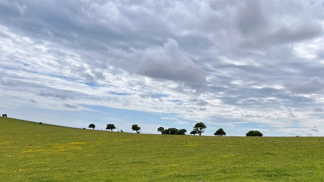
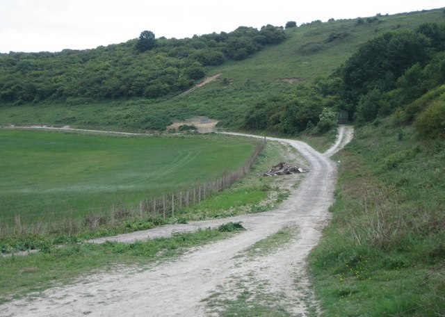
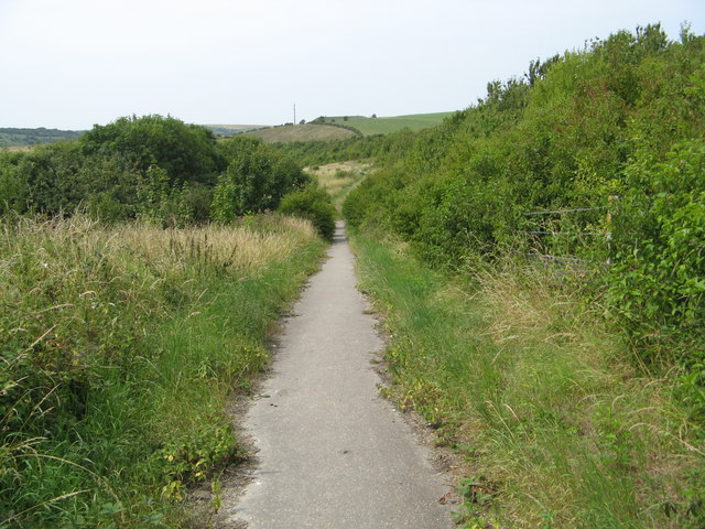
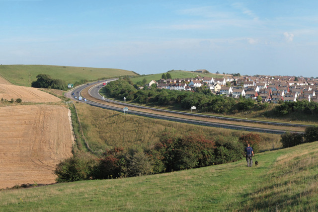
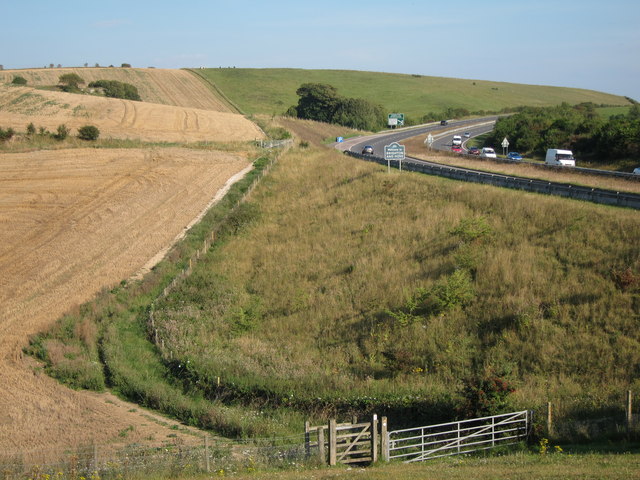
Hazelholt Bottom, located in Sussex, is a picturesque valley that boasts breathtaking natural beauty and a rich historical background. Nestled amidst rolling hills and lush greenery, this idyllic valley offers residents and visitors a tranquil escape from the hustle and bustle of everyday life.
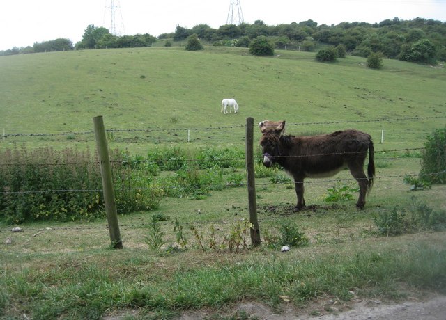
The valley is characterized by its diverse flora and fauna, with numerous species of wildflowers, birds, and animals calling it home. Walking through Hazelholt Bottom, one can admire the vibrant colors of bluebells and primroses in the spring, while in the autumn, the valley transforms into a splendid display of fiery reds and oranges as the leaves change.
One of the valley's notable features is the Hazelholt River, which meanders through the landscape, providing a constant flow of water and creating a serene atmosphere. Along the riverbanks, visitors can find charming picnic spots and peaceful fishing spots, making it a favorite destination for outdoor enthusiasts.
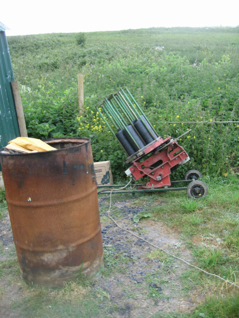
Historically, Hazelholt Bottom has played a significant role in the local community. The valley was once home to a thriving mining industry, with evidence of old mine shafts and remnants of mining equipment still visible today. These mines were a source of economic prosperity for the area, attracting workers and contributing to the growth of nearby towns.
Today, Hazelholt Bottom continues to be a cherished part of Sussex's natural heritage, offering residents and visitors an opportunity to connect with nature and explore the region's rich history. Whether it is a leisurely walk, a picnic by the river, or simply enjoying the tranquility of the surroundings, Hazelholt Bottom is a hidden gem waiting to be discovered.
If you have any feedback on the listing, please let us know in the comments section below.
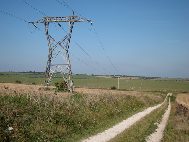
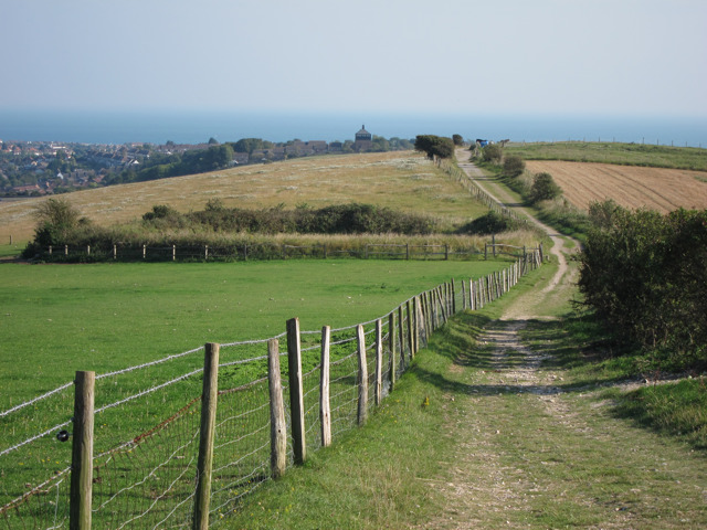
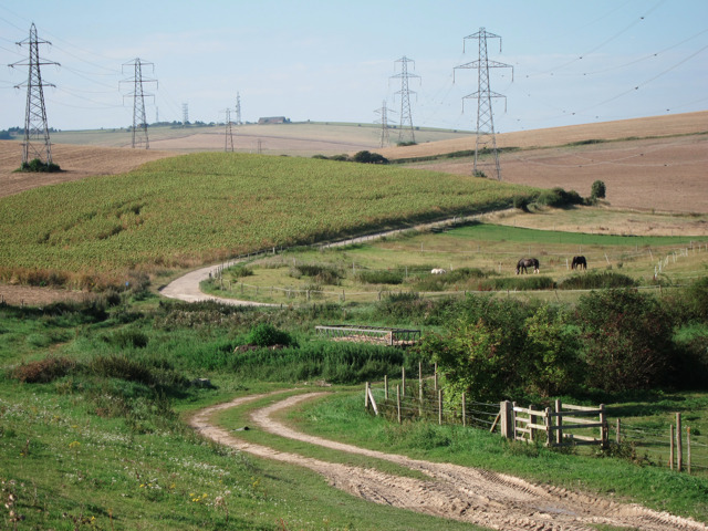
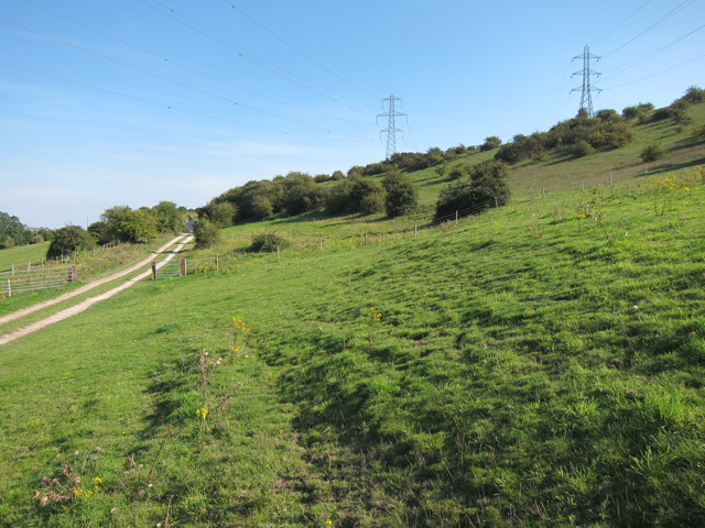
Hazelholt Bottom Images
Images are sourced within 2km of 50.863898/-0.24711248 or Grid Reference TQ2308. Thanks to Geograph Open Source API. All images are credited.
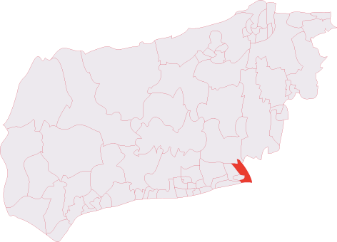
Hazelholt Bottom is located at Grid Ref: TQ2308 (Lat: 50.863898, Lng: -0.24711248)
Administrative County: West Sussex
District: Adur
Police Authority: Sussex
What 3 Words
///ranks.forces.heats. Near Portslade, East Sussex
Nearby Locations
Related Wikis

Thundersbarrow Hill
Thundersbarrow Hill is an archaeological site in West Sussex, England. It is on a chalk ridge, aligned north-west to south-east, on the South Downs north...
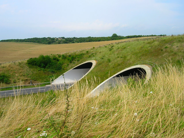
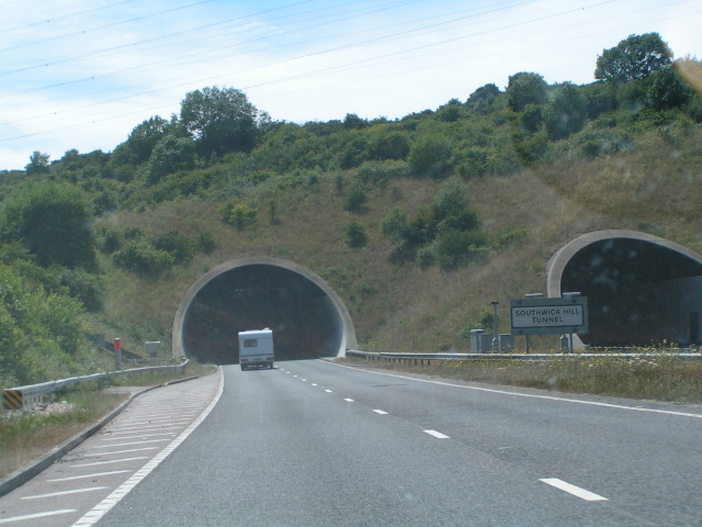
Southwick Hill Tunnel
The Southwick Hill Tunnel is a 490-metre twin-bore road tunnel to the north of Southwick, England. The tunnel was opened in early 1996 as part of the A27...
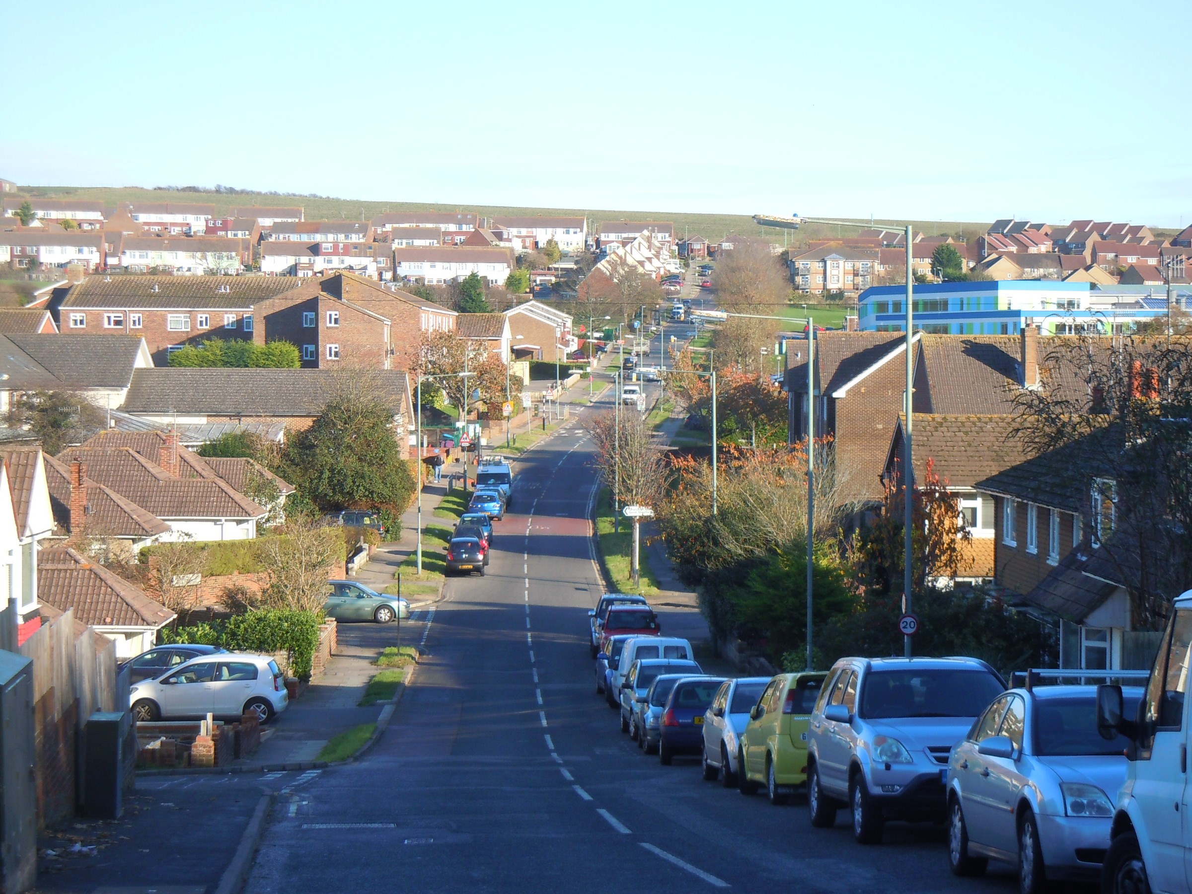
Mile Oak
Mile Oak is a locality forming the northern part of the former parish of Portslade in the northwest corner of the city of Brighton and Hove, England....
Southwick (electoral division)
Southwick is an electoral division of West Sussex in the United Kingdom, and returns one member to sit on West Sussex County Council. == Extent == The...
Nearby Amenities
Located within 500m of 50.863898,-0.24711248Have you been to Hazelholt Bottom?
Leave your review of Hazelholt Bottom below (or comments, questions and feedback).