The Warren
Downs, Moorland in Sussex Horsham
England
The Warren
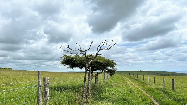
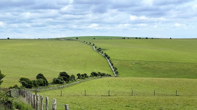
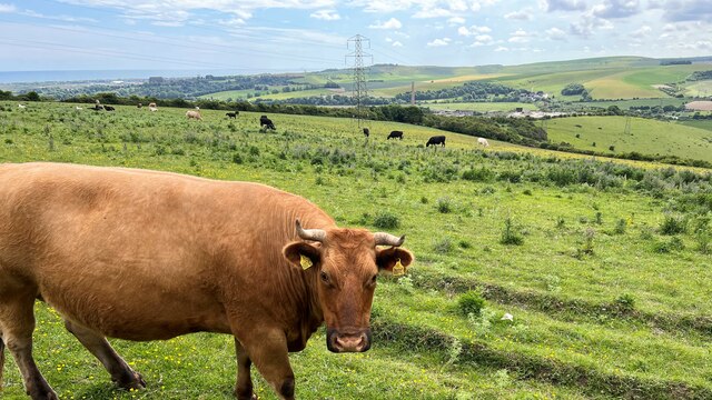
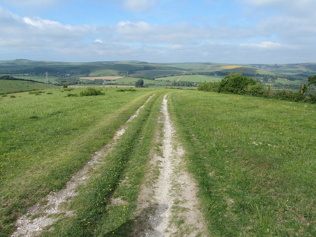
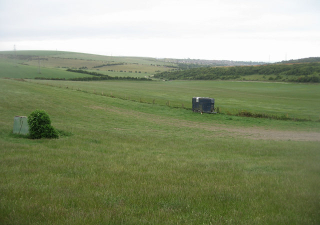
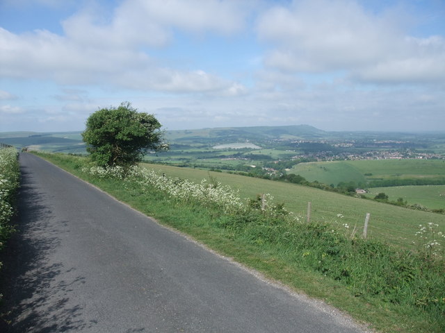
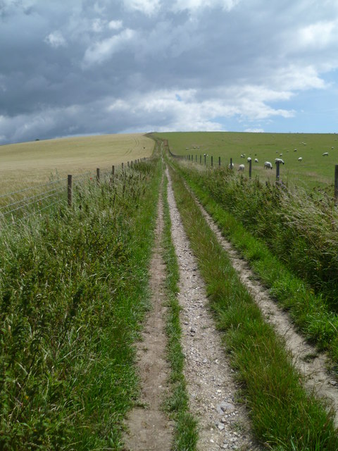
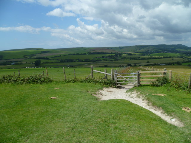
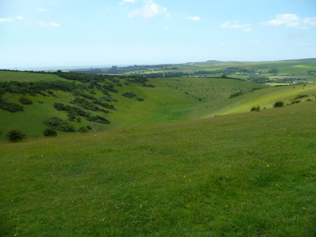
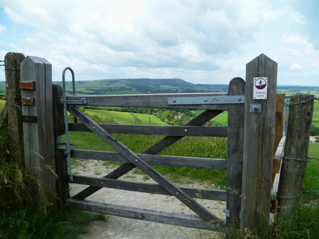
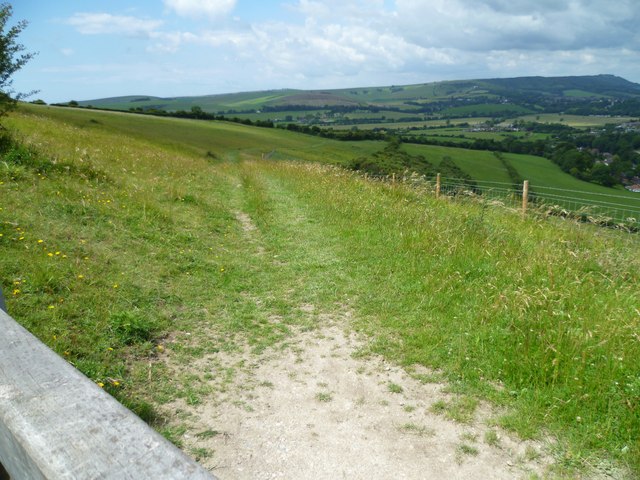
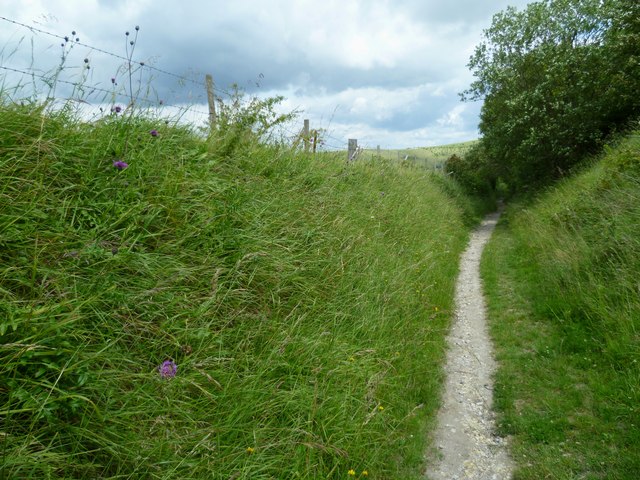
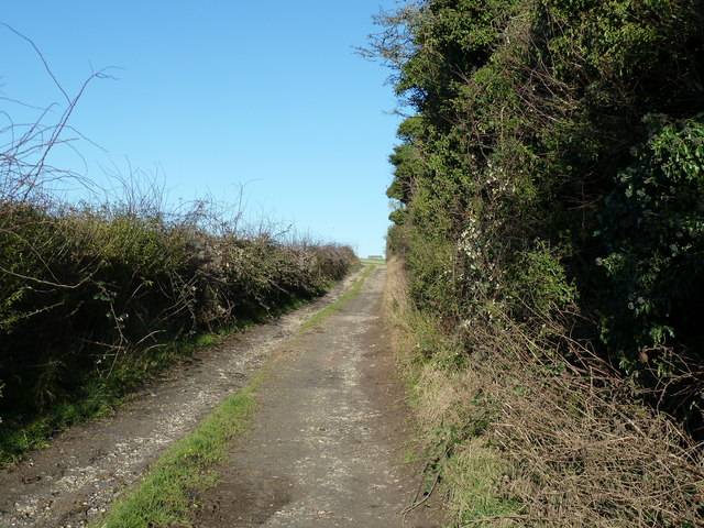
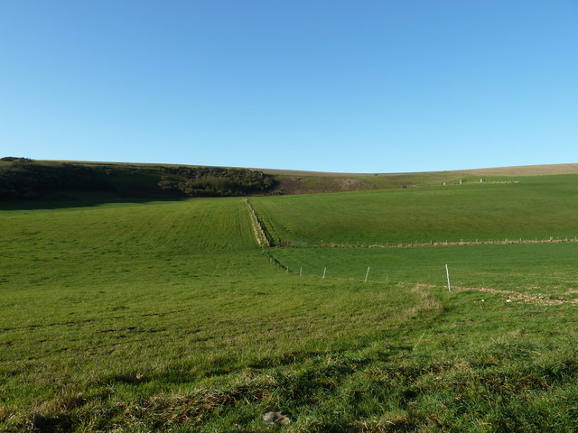
The Warren is a vast expanse of open land located in Sussex, England. Situated within the picturesque Sussex Downs, it covers both moorland and downland areas. Spanning over several miles, this nature reserve offers a diverse range of natural habitats, making it a haven for wildlife enthusiasts and nature lovers alike.
The moorland section of The Warren is characterized by its rolling hills, heather-covered landscapes, and scattered gorse bushes. This creates a stunning and vibrant scenery, especially during the summer months when the heather blooms in vibrant purples and pinks. This habitat is home to a variety of species, including birds such as curlews and skylarks, as well as mammals like foxes and badgers.
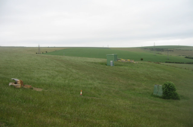
In contrast, the downland section of The Warren features more open grassy areas with patches of chalky soil. This environment supports a different range of flora and fauna, with species such as wildflowers, butterflies, and rabbits thriving in this habitat. The downland is also home to rare and protected species, such as the Adonis blue butterfly and the chalkhill blue butterfly.
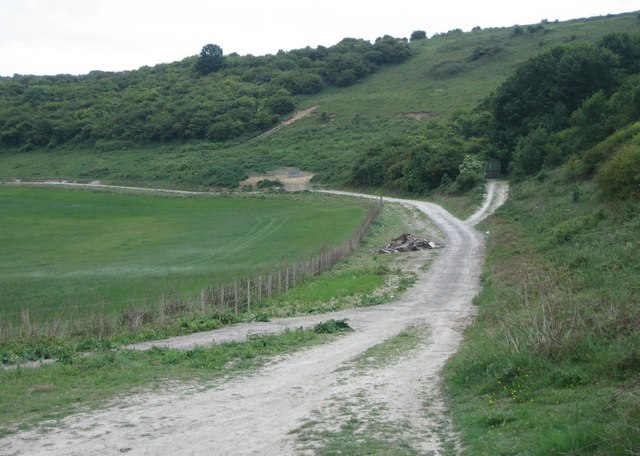
The Warren offers numerous walking trails and paths, allowing visitors to explore the diverse landscape and enjoy breathtaking views of the surrounding countryside. The area is also a popular spot for outdoor activities, including hiking, picnicking, and birdwatching. With its natural beauty and abundance of wildlife, The Warren is a must-visit destination for anyone seeking a peaceful and immersive experience in the heart of Sussex's natural wonders.
If you have any feedback on the listing, please let us know in the comments section below.
The Warren Images
Images are sourced within 2km of 50.87524/-0.26520789 or Grid Reference TQ2209. Thanks to Geograph Open Source API. All images are credited.
The Warren is located at Grid Ref: TQ2209 (Lat: 50.87524, Lng: -0.26520789)
Administrative County: West Sussex
District: Horsham
Police Authority: Sussex
What 3 Words
///decks.hiring.dishes. Near Shoreham-by-Sea, West Sussex
Nearby Locations
Related Wikis

Thundersbarrow Hill
Thundersbarrow Hill is an archaeological site in West Sussex, England. It is on a chalk ridge, aligned north-west to south-east, on the South Downs north...

Erringham chapel
Erringham chapel is a former place of worship in the deserted medieval village of Old Erringham, north of Shoreham-by-Sea in the district of Adur, one...

Edburton
Edburton is a small village and former civil parish, now in the parish of Upper Beeding, in the Horsham district, in the county of West Sussex, England...

Edburton Castle Ring
Edburton Castle Ring (or Castle Rings) is an archaeological site in West Sussex, England, on the peak of Edburton Hill on the South Downs, near the villages...
Nearby Amenities
Located within 500m of 50.87524,-0.26520789Have you been to The Warren?
Leave your review of The Warren below (or comments, questions and feedback).