Shonk's Moat

Heritage Site in Hertfordshire East Hertfordshire

England

Shonk's Moat

Brent Pelham Church
Brent Pelham Church Credit: Simon Judd

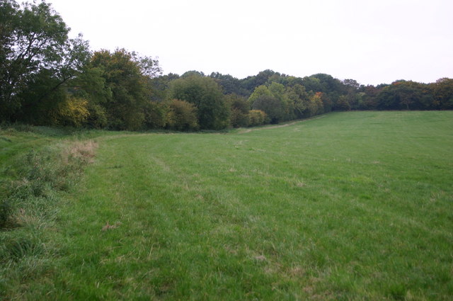
Shonk's Moat is a historic heritage site located in Hertfordshire, England. Situated near the village of Shonk's End, the moat holds significant historical and archaeological importance. Dating back to the medieval period, the site consists of a well-preserved rectangular moat surrounding a raised platform, believed to be the remains of a former manor house.

The moat itself measures approximately 20 meters wide and is filled with water, providing a picturesque and tranquil atmosphere. The outer banks of the moat are covered with dense vegetation, contributing to its aesthetic appeal. The raised platform within the moat is thought to have been the location of a manor house, which would have served as a residence for the local lord or noble.

Archaeological excavations at Shonk's Moat have uncovered remnants of a stone foundation, suggesting that the manor house was built using durable materials. The site also yielded an array of artifacts, including pottery shards, coins, and fragments of glass, providing valuable insights into the daily lives and activities of its inhabitants.

Shonk's Moat is accessible to the public, allowing visitors to explore its rich history and enjoy the natural beauty of the surroundings. The site is often frequented by historians, archaeology enthusiasts, and nature lovers alike. Its historical significance, combined with its serene ambiance, make Shonk's Moat an important heritage site in Hertfordshire, preserving a glimpse into the region's medieval past.

If you have any feedback on the listing, please let us know in the comments section below.
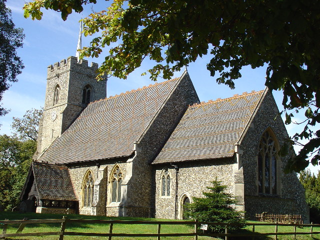
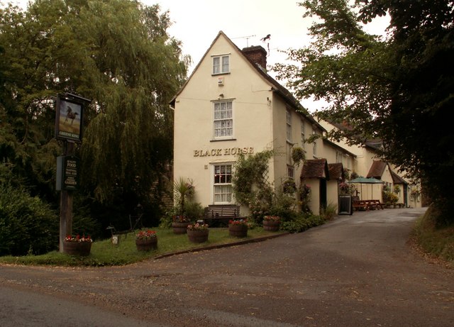
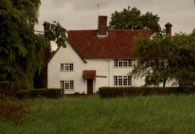
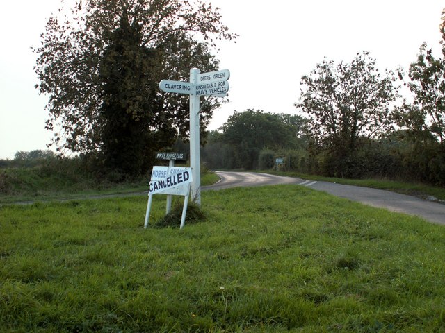
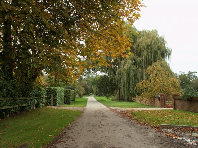
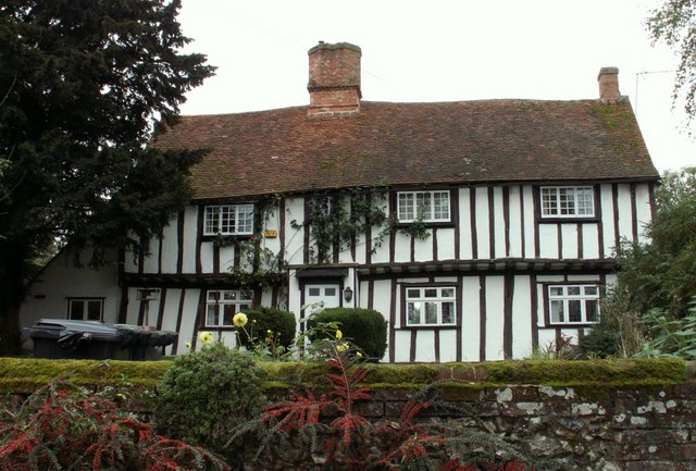
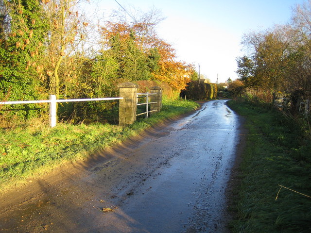
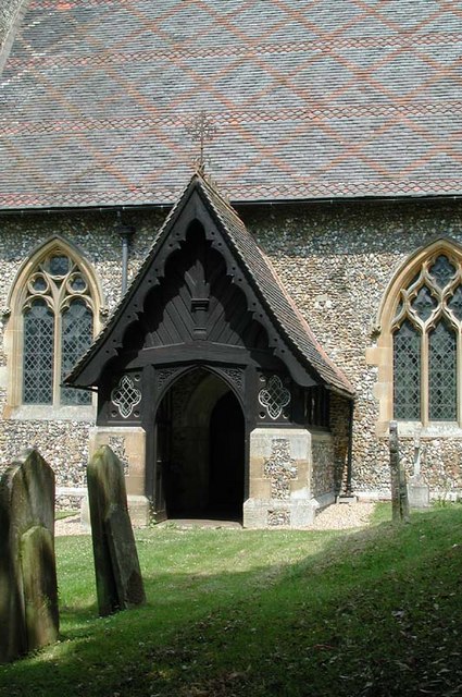
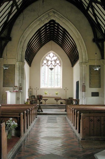
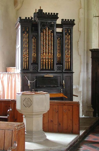
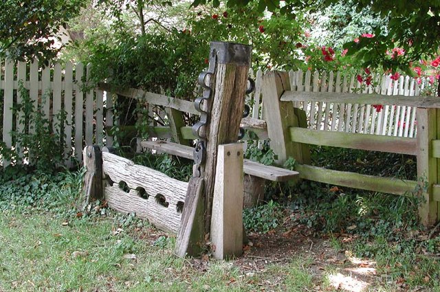
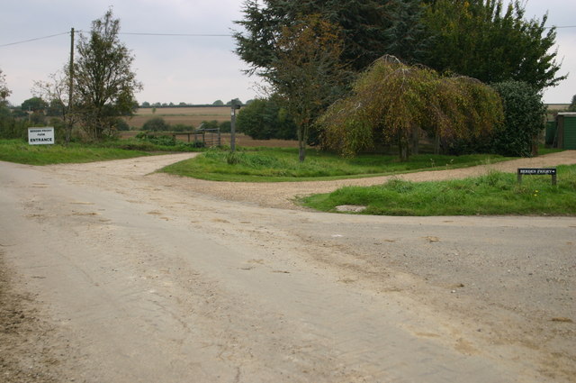
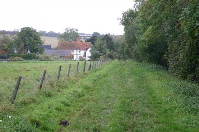
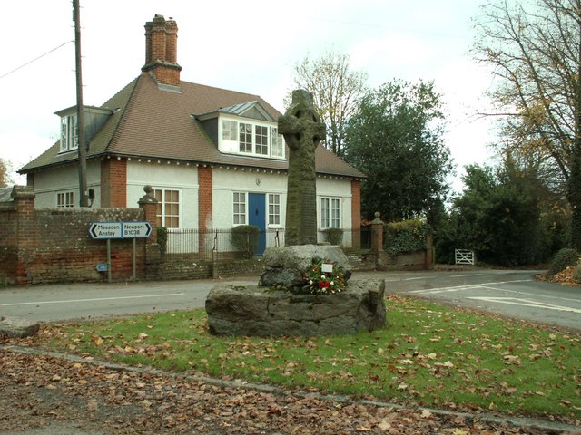
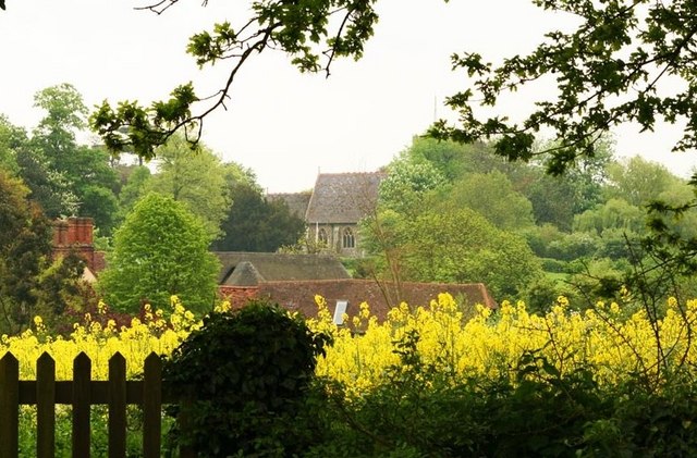
Shonk's Moat Images

Images are sourced within 2km of 51.953/0.103 or Grid Reference TL4430. Thanks to Geograph Open Source API. All images are credited.

Brent Pelham Church
Brent Pelham Church
Church Cottage Brent Pelham It is hard to imagine that this is in Hertfordshire. A dramatic contrast from Watford and Stevenage etc.
Church Cottage Brent Pelham
It is hard to imagine that this is in Hertfordshire. A dramatic contrast from Watford and Stevenage etc.
'Black Horse' inn, Brent Pelham, Herts.
House at Washall Green, Herts. This appears to be the only house that stands at the junction known as Washall Green, which is near to Brent Pelham.
House at Washall Green, Herts.
This appears to be the only house that stands at the junction known as Washall Green, which is near to Brent Pelham.
Signpost along the B.1038 near Clavering, Essex
The road at Ford End
Farmhouse at Yew Tree Farm This is a very attractive timber-framed house, probably dating back to the early part of the 16th century.
Farmhouse at Yew Tree Farm
This is a very attractive timber-framed house, probably dating back to the early part of the 16th century.
Deer's Green: Cock Lane The bridge carries Cock Lane over the River Stort.
Deer's Green: Cock Lane
The bridge carries Cock Lane over the River Stort.
St Mary, Brent Pelham, Herts - Porch
St Mary, Brent Pelham, Herts - East end
St Mary, Brent Pelham, Herts - Organ & Font
Stocks outside St Mary's Church, Brent Pelham, Herts
Cakebread's Lane Cakebread's Lane heads up from Ford End to Oxbury Wood
Cakebread's Lane
Cakebread's Lane heads up from Ford End to Oxbury Wood
Berden Priory junction Berden Priory junction of roads down to the Priory and Priory Farm
Berden Priory junction
Berden Priory junction of roads down to the Priory and Priory Farm
Cakebread's Lane Cakebread's Lane heads down to Ford End
Cakebread's Lane
Cakebread's Lane heads down to Ford End
The War Memorial at Brent Pelham This road junction is by the parish church.
The War Memorial at Brent Pelham
This road junction is by the parish church.
St Mary's, Brent Pelham A spring time picture of St Mary's church and Brent Pelham taken from my garden from the west of the church hill.
St Mary's, Brent Pelham
A spring time picture of St Mary's church and Brent Pelham taken from my garden from the west of the church hill.
Footpath to Berden Priory Another view of  <a href="https://www.geograph.org.uk/photo/579568">TL4630 : Berden Priory junction</a> this time showing the Rowans in fruit.
Footpath to Berden Priory
Another view of TL4630 : Berden Priory junction this time showing the Rowans in fruit.
Show me another place!

Shonk's Moat is located at Grid Ref: TL4430 (Lat: 51.953, Lng: 0.103)

Administrative County: Hertfordshire

District: East Hertfordshire

Police Authority: Hertfordshire

What 3 Words

///clearing.distorts.debating. Near Buntingford, Hertfordshire

Related Wikis

Brent Pelham

Brent Pelham is a village and civil parish in the East Hertfordshire district, in the county of Hertfordshire, England, and situated approximately 5 miles...

Stocking Pelham

Stocking Pelham is a village and civil parish in the East Hertfordshire district of Hertfordshire, England. It is located on the border with Essex, around...

Brent Pelham Windmill

Brent Pelham Windmill is a Grade II listed smock mill at Brent Pelham, Hertfordshire, England which is derelict. == History == Brent Pelham Mill was built...

Meesden

Meesden is a village and civil parish of the East Hertfordshire district of Hertfordshire, England. Nearby settlements include Anstey and Brent Pelham...

St Nicholas' Church, Berden

St Nicholas' Church is a Grade I listed parish church in the village of Berden, Essex, England. Of the Early English Gothic style, the church has a Norman...

Berden Hall

Berden Hall is a Grade II* listed Elizabethan country house in Berden, in the Uttlesford District of Essex, England. The house was built in the 1580s....

Berden Priory

Berden Priory was a priory in Essex, England. This site now has a Grade II* listed late 16th-century timber-framed house, the centre of Berden Priory Farm...

Berden

Berden is a village and civil parish in Essex, England. Berden village is approximately 6 miles (10 km) north from Bishop's Stortford, Hertfordshire and...

Nearby Amenities

Located within 500m of 51.953,0.103
Washall Green
Created By: Potlatch 0.10f
Place: hamlet
Lat/Long: 51.9521193/0.0984084
Washall Green House
Naptan AtcoCode: 210021310102
Naptan Bearing: NW
Naptan BusStopType: CUS
Naptan CommonName: Washall Green House
Naptan Crossing: Weasal Cottage
Naptan Indicator: opp
Naptan Landmark: Weasal Cottage
Naptan NaptanCode: hrtdpgjm
Naptan ShortCommonName: NA
Naptan Street: Unknown
Naptan Verified: no
Public Transport: platform
Source: naptan_import
Lat/Long: 51.9519952/0.0981554
Washall Green House
Naptan AtcoCode: 210021310502
Naptan Bearing: SE
Naptan BusStopType: CUS
Naptan CommonName: Washall Green House
Naptan Crossing: opp Weasel Cottage
Naptan Indicator: o/s
Naptan Landmark: opp Weasel Cottage
Naptan NaptanCode: hrtdpdtg
Naptan ShortCommonName: NA
Naptan Street: Unknown
Naptan Verified: no
Public Transport: platform
Source: naptan_import
Lat/Long: 51.9520563/0.0982602
Post Box
Washall Green
Collection Times: Mo-Fr 17:00; Sa 11:00
Operator: Royal Mail
Operator Wikidata: Q638098
Post Box Mounting: pier
Post Box Type: lamp
Ref: SG9 84
Lat/Long: 51.9517747/0.098398
Power: pole
Source: Bing
Lat/Long: 51.952336/0.109048
Power: pole
Source: Bing
Lat/Long: 51.9535626/0.1072912
Power: pole
Source: Bing
Lat/Long: 51.9539047/0.1062129
Material: wood
Power: pole
Source: Bing
Lat/Long: 51.9554817/0.0997327
Power: pole
Source: Bing
Lat/Long: 51.9531543/0.1085759
Material: wood
Power: pole
Source: Bing
Lat/Long: 51.9557743/0.0982602
Material: wood
Power: pole
Source: Bing
Lat/Long: 51.9549313/0.1025517
Power: pole
Source: Bing
Lat/Long: 51.9546717/0.1038687
Material: wood
Power: pole
Source: Bing
Lat/Long: 51.9551974/0.1011945
Power: pole
Source: Bing
Lat/Long: 51.9515392/0.1094584
Power: pole
Source: Bing
Lat/Long: 51.9543246/0.1049898
Bench
Lat/Long: 51.9518178/0.0984519
The data included in this document is from www.openstreetmap.org. The data is made available under ODbL.

Have you been to Shonk's Moat?

Leave your review of Shonk's Moat below (or comments, questions and feedback).