Round Hill
Heritage Site in Yorkshire Harrogate
England
Round Hill
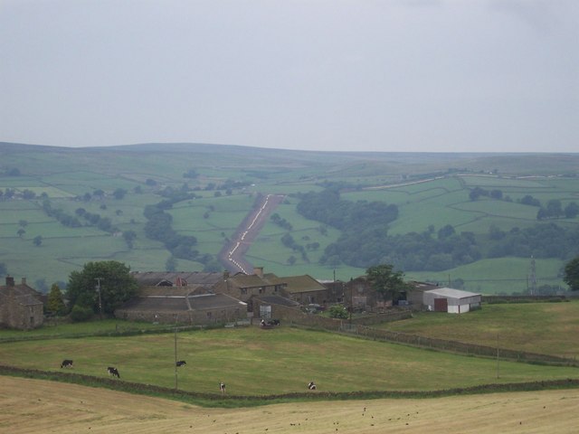
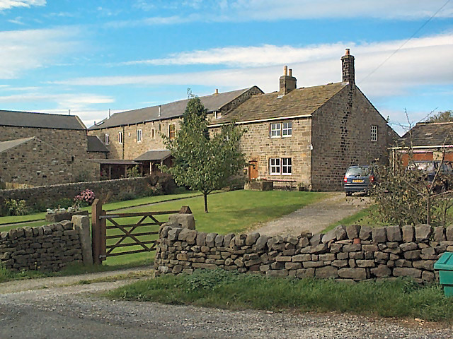
Round Hill is a prominent heritage site located in Yorkshire, England. It is situated approximately 3 miles east of the town of Masham and is known for its historical significance and natural beauty.
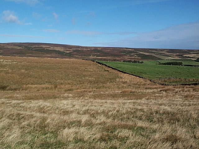
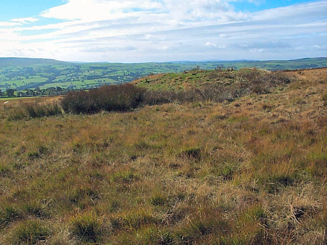
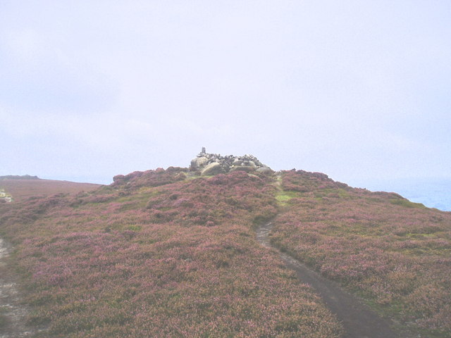
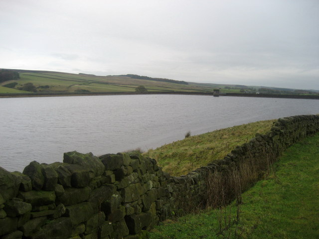
Standing at an impressive height of 1,000 feet above sea level, Round Hill offers breathtaking panoramic views of the surrounding countryside. The hill itself is a remnant of the last ice age and is composed of limestone, giving it a unique geological character.
The area surrounding Round Hill is rich in history, with traces of human activity dating back to the Neolithic period. The hill has been an important landmark throughout the ages, serving as a strategic vantage point during wars and conflicts. It also played a role in medieval times as a hunting ground for local nobility.
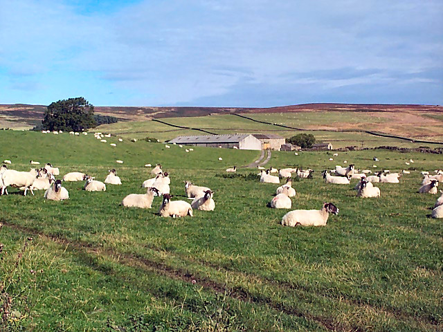
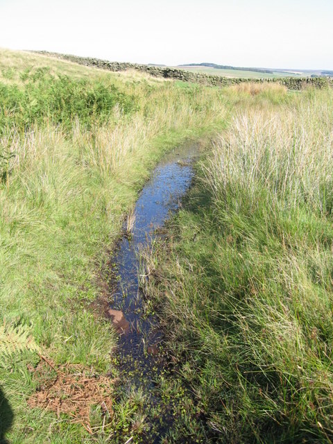
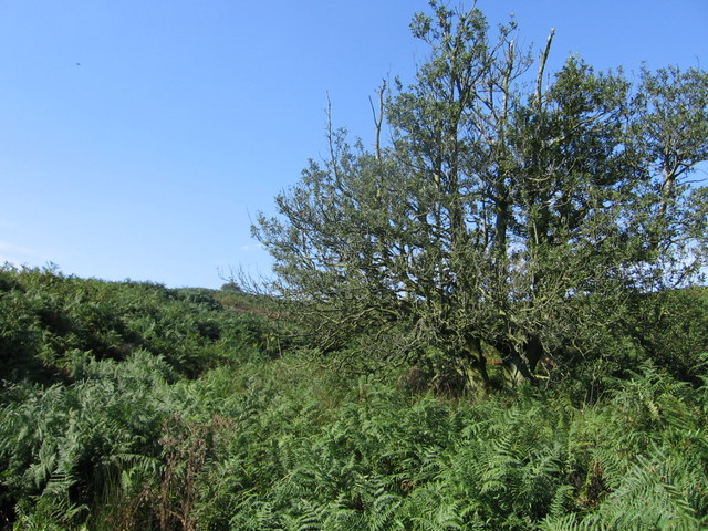
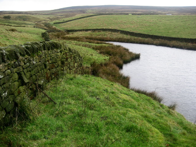
In addition to its historical significance, Round Hill is a haven for wildlife enthusiasts and nature lovers. The hill is home to a diverse range of flora and fauna, including rare species of birds, plants, and insects. The surrounding meadows and woodlands offer an ideal habitat for these creatures, making it a popular destination for birdwatchers and nature photographers.
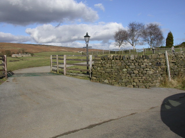
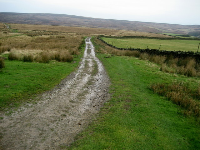
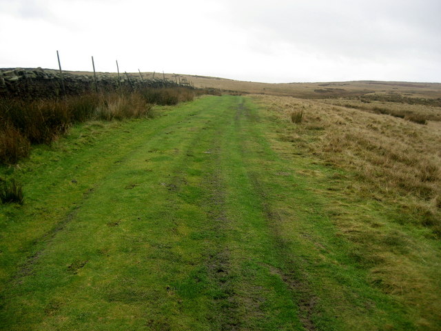
Accessible via a network of footpaths, Round Hill attracts a steady stream of visitors who come to admire its beauty and explore its surroundings. The site is well-maintained, with designated viewing areas and informative signage to enhance the visitor experience.
Overall, Round Hill in Yorkshire offers a unique blend of natural beauty and historical significance, making it a must-visit destination for those seeking to immerse themselves in the area's rich heritage and stunning landscapes.
If you have any feedback on the listing, please let us know in the comments section below.
Round Hill Images
Images are sourced within 2km of 53.9544/-1.839 or Grid Reference SE1050. Thanks to Geograph Open Source API. All images are credited.
![Old Milestone Langbar Moor This old stone ['Skipton 6 1/2 mls'] stands at the junction of 2 paths on a damp moor above Addingham. Probably the route of an old pack horse track from Skipton to Knaresborough.](https://s2.geograph.org.uk/photos/13/81/138122_2584b42c.jpg)
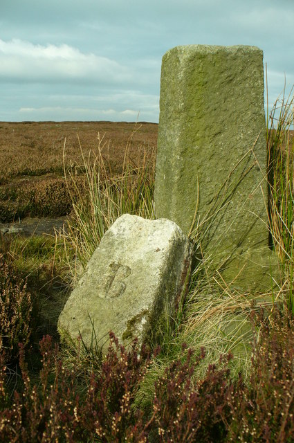
![Middleton Moor Milestone "To Knarsbrough [Knaresborough] 11 Ms [Miles]. Other sides read "To Skipton 6 Ms" and "To Otley 6 Ms".](https://s3.geograph.org.uk/geophotos/01/53/53/1535391_48bbc548.jpg)
Round Hill is located at Grid Ref: SE1050 (Lat: 53.9544, Lng: -1.839)
Division: West Riding
Administrative County: North Yorkshire
District: Harrogate
Police Authority: North Yorkshire
What 3 Words
///straying.counters.clipboard. Near Addingham, West Yorkshire
Nearby Locations
Related Wikis

Nesfield
Nesfield is a small village, 2 miles (3.2 km) north-west of Ilkley on the north bank of the River Wharfe, in the civil parish of Nesfield with Langbar...
Middleton-on-Wharfe
Middleton is a hamlet and civil parish in the Harrogate district of North Yorkshire, England. It is on the border with West Yorkshire and 1 mile north...

St Peter's Church, Addingham
St Peter's Church is a Church of England parish church in Addingham, West Yorkshire. It is a Grade I listed building, with the main structure dating to...

Ilkley Golf Club
Ilkley Golf Club is a golf club in North Yorkshire, England, just outside the town of Ilkley in West Yorkshire. It is located about a mile to the northwest...

Ilkley Lido
Ilkley Lido is an open-air swimming pool in the West Yorkshire, England, spa town of Ilkley, part of a complex that also includes an indoor heated swimming...

Dales Way
The Dales Way is an 78.5-mile (126.3 km) long-distance footpath in Northern England, from (south-east to north-west) Ilkley, West Yorkshire, to Bowness...

Addingham railway station
Addingham railway station was on the Midland Railway route from Skipton to Ilkley. It served the village of Addingham in West Yorkshire, England. ��2...

Farfield Friends Meeting House
Farfield Friends Meeting House is a Quaker meeting house no longer regularly in use by a Quaker meeting and now owned by the Historic Chapels Trust. It...
Nearby Amenities
Located within 500m of 53.9544,-1.839Have you been to Round Hill ?
Leave your review of Round Hill below (or comments, questions and feedback).