Ellishaw Hill

Hill, Mountain in Yorkshire Harrogate

England

Ellishaw Hill

Middleton Moor To the right is farmland, whereas by contrast to the left is rough grassland pasture now designated as access land.
Middleton Moor Credit: David Spencer

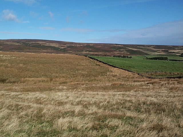
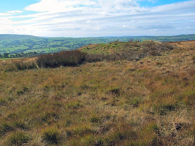
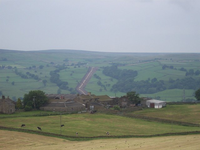
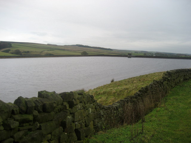
Ellishaw Hill is a prominent landmark located in the county of Yorkshire, England. Situated in the beautiful Peak District National Park, the hill is part of the Pennines mountain range. Standing at an elevation of 1,416 feet (432 meters), Ellishaw Hill offers breathtaking panoramic views of the surrounding countryside.

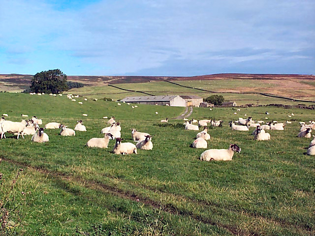
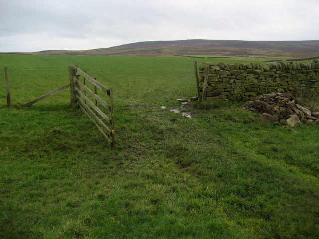
The hill is a popular destination for hikers and nature enthusiasts, thanks to its picturesque trails and stunning scenery. It is covered in lush greenery, with slopes adorned by heather and wildflowers during the summer months. The diverse ecosystem of the area provides a habitat for various species of birds, mammals, and insects.

The ascent to the summit of Ellishaw Hill can be challenging, but the effort is rewarded with awe-inspiring vistas of the rolling hills, deep valleys, and nearby reservoirs. On a clear day, it is even possible to see as far as the cities of Manchester and Sheffield.

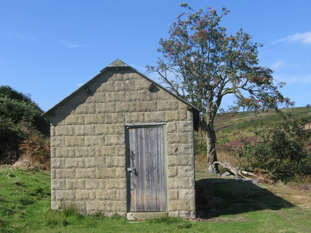
The hill is steeped in history, with evidence of human activity dating back to prehistoric times. Archaeological remains, including stone tools and burial mounds, have been found in the surrounding area. There are also remnants of old mining operations, which were once a vital part of the local economy.

For those seeking outdoor adventure, Ellishaw Hill offers an ideal location for rock climbing and abseiling. The craggy cliffs and rugged terrain provide a challenge for climbers of all levels of experience.

Overall, Ellishaw Hill is a remarkable natural landmark, offering a blend of breathtaking views, rich biodiversity, and a glimpse into the region's fascinating history.

If you have any feedback on the listing, please let us know in the comments section below.

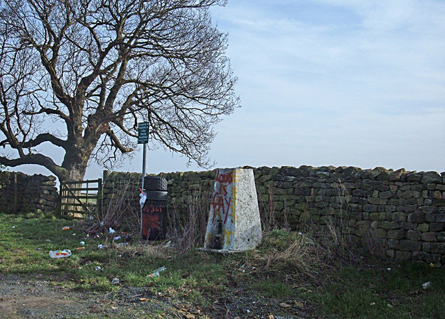
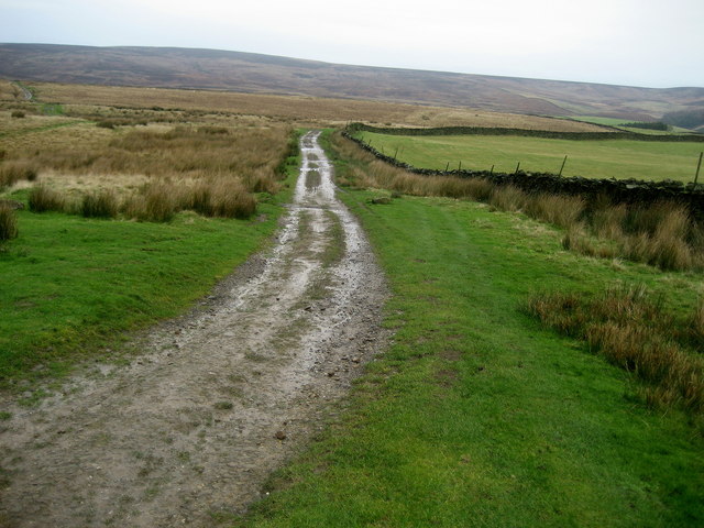
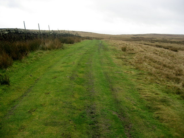
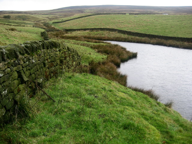
Ellishaw Hill Images

Images are sourced within 2km of 53.949603/-1.8397947 or Grid Reference SE1050. Thanks to Geograph Open Source API. All images are credited.
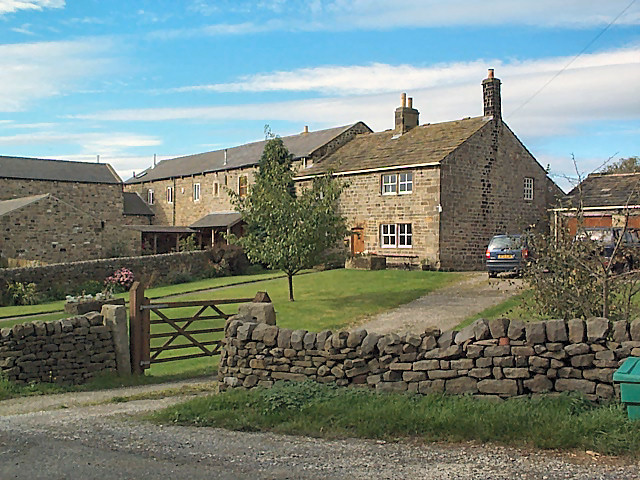
Middleton Moor To the right is farmland, whereas by contrast to the left is rough grassland pasture now designated as access land.
Middleton Moor
To the right is farmland, whereas by contrast to the left is rough grassland pasture now designated as access land.
Round Hill tumulus, Middleton Moor To the north are a number of cupstones with which this tumulus may be associated... or maybe not. Beyond is the view across Wharfedale, with Addingham Moor in the distance to the left.
Round Hill tumulus, Middleton Moor
To the north are a number of cupstones with which this tumulus may be associated... or maybe not. Beyond is the view across Wharfedale, with Addingham Moor in the distance to the left.
Sheep near East Moor House Farm Farmland typical of this area on the south facing slopes of Langbar and Denton moors. Denton Moor is on the horizon beyond the farm.
Sheep near East Moor House Farm
Farmland typical of this area on the south facing slopes of Langbar and Denton moors. Denton Moor is on the horizon beyond the farm.
Gateway to Moor End Farm Looking North across the cattle grid at the entrance to Moor End Farm. Blackhill House is visible in the background with Langbar Moor beyond. Note the contrast between the colour of the vegetation on either side of the dividing dry-stone wall.
Gateway to Moor End Farm
Looking North across the cattle grid at the entrance to Moor End Farm. Blackhill House is visible in the background with Langbar Moor beyond. Note the contrast between the colour of the vegetation on either side of the dividing dry-stone wall.
Old Milestone Langbar Moor This old stone ['Skipton 6 1/2 mls'] stands at the junction of 2 paths on a damp moor above Addingham. Probably the route of an old pack horse track from Skipton to Knaresborough.
Old Milestone Langbar Moor
This old stone ['Skipton 6 1/2 mls'] stands at the junction of 2 paths on a damp moor above Addingham. Probably the route of an old pack horse track from Skipton to Knaresborough.
Middleton Moor, Ilkley Actually taken from the other side of the Wharfe valley on Cocking Lane above Addingham. Picture shows construction of a pipeline across the moor. What is it - any ideas??
Middleton Moor, Ilkley
Actually taken from the other side of the Wharfe valley on Cocking Lane above Addingham. Picture shows construction of a pipeline across the moor. What is it - any ideas??
Loftshaw Gill Shooting Shelter
ROMAN ROAD (course of), Middleton Moor Located using Garmin GPS! 
The point at which the course of the Roman road crosses the lower reaches of Loftshaw Gill.
ROMAN ROAD (course of), Middleton Moor
Located using Garmin GPS! The point at which the course of the Roman road crosses the lower reaches of Loftshaw Gill.
Delves Beck
Delves Beck
Ling Park Trig Pillar Situated at 245 metres above sea level on the back road between Ilkley and Beamsley. This would have been a very pleasant location had it not been for the rubbish strewn around and the graffiti.
Ling Park Trig Pillar
Situated at 245 metres above sea level on the back road between Ilkley and Beamsley. This would have been a very pleasant location had it not been for the rubbish strewn around and the graffiti.
Middleton Moor Milestone "To Knarsbrough [Knaresborough] 11 Ms [Miles]. Other sides read "To Skipton 6 Ms" and "To Otley 6 Ms".
Middleton Moor Milestone
"To Knarsbrough [Knaresborough] 11 Ms [Miles]. Other sides read "To Skipton 6 Ms" and "To Otley 6 Ms".
Track onto Middleton Moor Good track that can lead walkers onto the wilderness of Middleton Moor and up to Round Hill.
Track onto Middleton Moor
Good track that can lead walkers onto the wilderness of Middleton Moor and up to Round Hill.
Lower Badger Gate This path leads from West Moor House and onto the wilderness of Middleton Moor - part of a very ancient route called Badger Gate.
Lower Badger Gate
This path leads from West Moor House and onto the wilderness of Middleton Moor - part of a very ancient route called Badger Gate.
Reservoir Water creeping up Delves Beck March Ghyll Reservoir swollen to capacity after weeks of heavy rain, allowing its waters to inundate the lower reaches of Delves Beck.
Reservoir Water creeping up Delves Beck
March Ghyll Reservoir swollen to capacity after weeks of heavy rain, allowing its waters to inundate the lower reaches of Delves Beck.
March Ghyll Reservoir Small reservoir below Middleton Moor.
March Ghyll Reservoir
Small reservoir below Middleton Moor.
Pastures near March Ghyll Reservoir Enclosed pastures to the south of the reservoir, allowing open views towards Beamsley Beacon - seen in the distance.
Pastures near March Ghyll Reservoir
Enclosed pastures to the south of the reservoir, allowing open views towards Beamsley Beacon - seen in the distance.
West Moor House Farm Substantial farming operation on the edge of Middleton Moor.
West Moor House Farm
Substantial farming operation on the edge of Middleton Moor.
Access Road to West Moor House Farm Long metalled access lane leads from Hill Top Farm towards West Moor House on the edge of Middleton Moor.
Access Road to West Moor House Farm
Long metalled access lane leads from Hill Top Farm towards West Moor House on the edge of Middleton Moor.
Show me another place!

Ellishaw Hill is located at Grid Ref: SE1050 (Lat: 53.949603, Lng: -1.8397947)

Division: West Riding

Administrative County: North Yorkshire

District: Harrogate

Police Authority: North Yorkshire

What 3 Words

///carpets.multiples.types. Near Ilkley, West Yorkshire

Related Wikis

Nesfield

Nesfield is a small village, 2 miles (3.2 km) north-west of Ilkley on the north bank of the River Wharfe, in the civil parish of Nesfield with Langbar...

Middleton-on-Wharfe

Middleton is a hamlet and civil parish in the Harrogate district of North Yorkshire, England. It is on the border with West Yorkshire and 1 mile north...

Ilkley Golf Club

Ilkley Golf Club is a golf club in North Yorkshire, England, just outside the town of Ilkley in West Yorkshire. It is located about a mile to the northwest...

St Peter's Church, Addingham

St Peter's Church is a Church of England parish church in Addingham, West Yorkshire. It is a Grade I listed building, with the main structure dating to...

Ilkley Lido

Ilkley Lido is an open-air swimming pool in the West Yorkshire, England, spa town of Ilkley, part of a complex that also includes an indoor heated swimming...

Dales Way

The Dales Way is an 78.5-mile (126.3 km) long-distance footpath in Northern England, from (south-east to north-west) Ilkley, West Yorkshire, to Bowness...
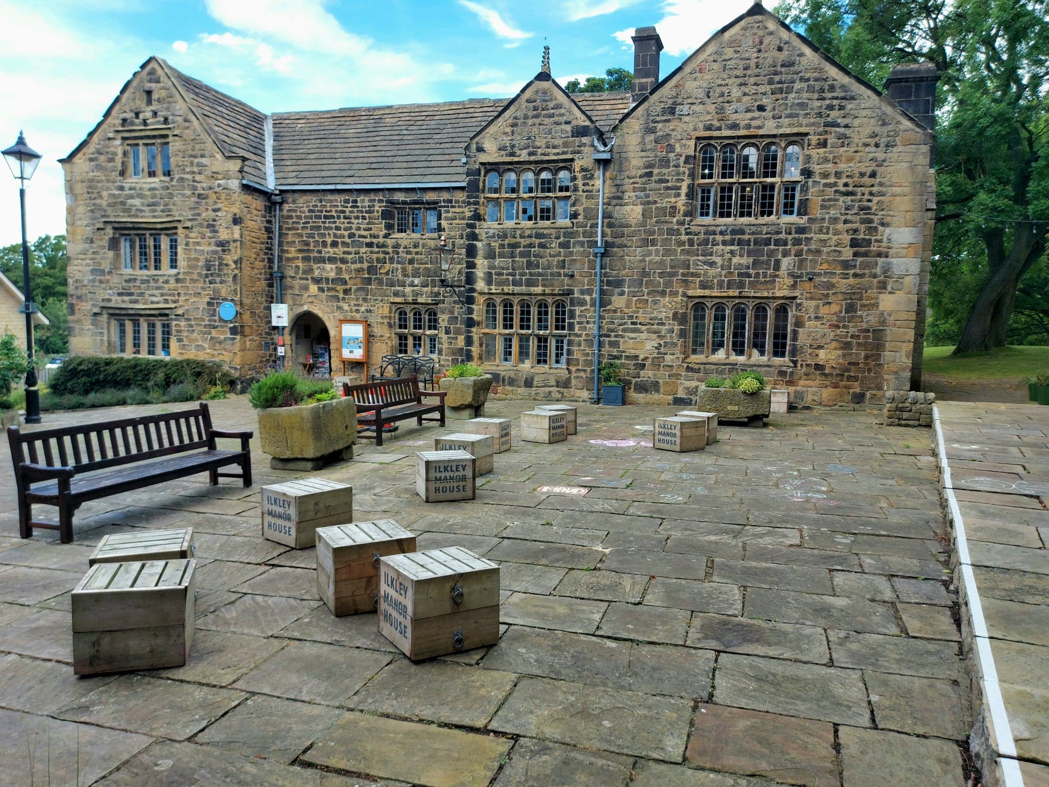
Ilkley Manor House

Ilkley Manor House, Ilkley, West Yorkshire, England, is a local heritage museum, art gallery, and live venue, and was established in the present building...

Wharfedale Brewery

Wharfedale Brewery is a brewery situated in Ilkley in Wharfedale, West Yorkshire, England, on the edge of the Yorkshire Dales National Park. Two, now defunct...

Nearby Amenities

Located within 500m of 53.949603,-1.8397947
Upper Austby
Building: yes
Source: NPE
Lat/Long: 53.9482607/-1.8456615
Ellishaw Hill
Ele: 249.6
Natural: peak
Lat/Long: 53.9508248/-1.8396655
Power: pole
Source: Bing
Lat/Long: 53.9499403/-1.8411045
Power: pole
Source: Bing
Lat/Long: 53.9503574/-1.8399605
Power: pole
Source: Bing
Lat/Long: 53.9492166/-1.8431282
Power: pole
Source: Bing
Lat/Long: 53.9512319/-1.8375251
Power: pole
Source: Bing
Lat/Long: 53.949498/-1.8423302
Historic: boundary_stone
Source: NLS-OS-1st_Series
Lat/Long: 53.9527753/-1.840151
Historic: boundary_stone
Source: NLS-OS-1st_Series
Lat/Long: 53.9514109/-1.8414599
The data included in this document is from www.openstreetmap.org. The data is made available under ODbL.

Have you been to Ellishaw Hill?

Leave your review of Ellishaw Hill below (or comments, questions and feedback).