Damerham Knoll

Hill, Mountain in Hampshire New Forest

England

Damerham Knoll

Ford at Damerham This ford is found at Allenford Pond on the River Allen at Damerham.
Ford at Damerham Credit: John Walton

Damerham Knoll is a prominent natural landmark located in the county of Hampshire, England. Classified as a hill rather than a mountain, it stands at an elevation of approximately 115 meters (377 feet) above sea level. Situated in the village of Damerham, this knoll offers breathtaking views of the surrounding countryside.

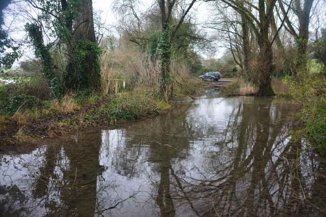
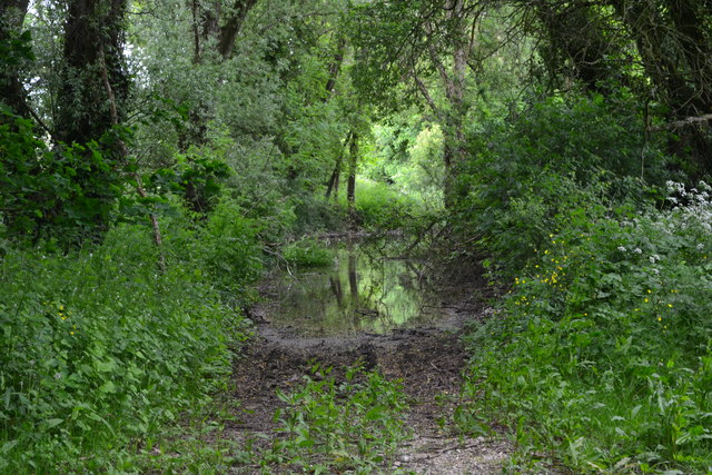
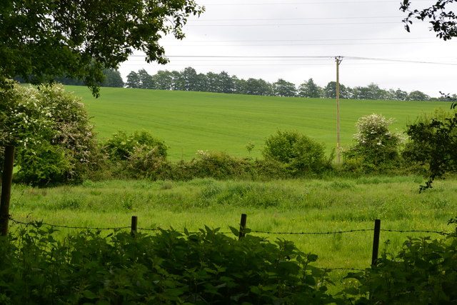
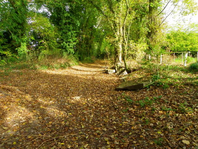
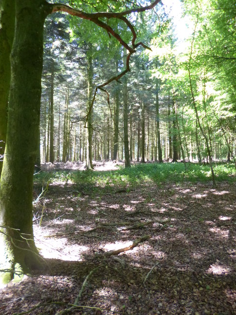
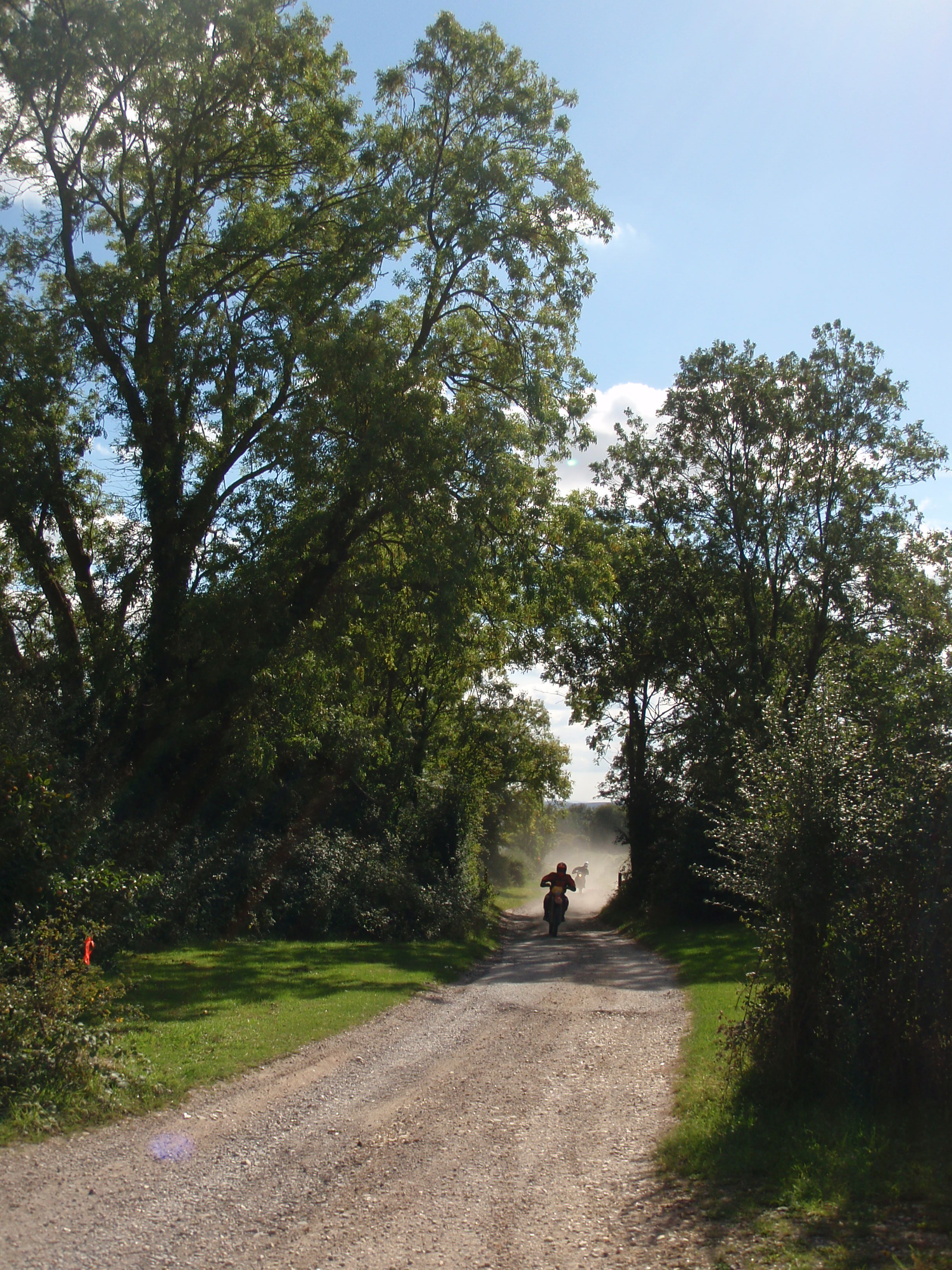
The hill itself is covered in lush greenery, with a variety of flora and fauna thriving in its diverse ecosystem. It is composed mainly of chalk and offers a gentle incline, making it accessible for hikers and nature enthusiasts of all ages. The landscape is dotted with ancient trees, adding to the beauty and serenity of the area.

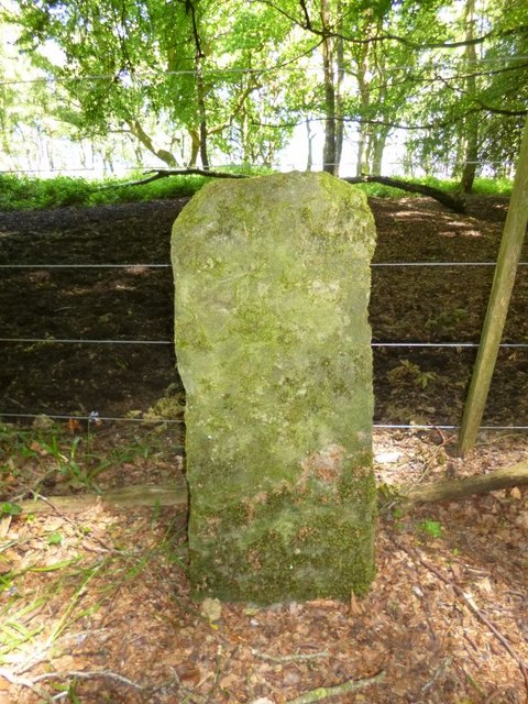
Damerham Knoll holds historical significance as well. Archaeological evidence suggests that it has been inhabited since ancient times, with traces of Iron Age settlements discovered in the vicinity. The hill has also been used for agriculture over the centuries, with evidence of terraced cultivation still visible.

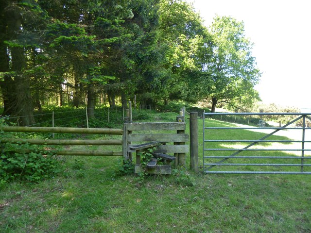
The knoll is a popular spot for outdoor activities such as walking, picnicking, and birdwatching. The surrounding fields and woodlands provide habitats for a wide range of wildlife, including deer, rabbits, and various bird species.

In conclusion, Damerham Knoll is a picturesque hill in Hampshire, offering stunning views, a rich history, and abundant natural beauty. Whether you are a nature lover, an archaeology enthusiast, or simply seeking a peaceful retreat, this hill has something to offer for everyone.

If you have any feedback on the listing, please let us know in the comments section below.

Damerham Knoll Images

Images are sourced within 2km of 50.96257/-1.8502937 or Grid Reference SU1018. Thanks to Geograph Open Source API. All images are credited.

Ford at Damerham This ford is found at Allenford Pond on the River Allen at Damerham.
Ford at Damerham
This ford is found at Allenford Pond on the River Allen at Damerham.
Flooded footpath by Allenford Pond
View into field near Allenford Pond
Old Boundary Marker by Bokerley Dyke, Damerham parish Parish Boundary Marker by the footpath, in parish of Damerham (New Forest District), Bokerley Dyke, on Southwest side of fence and footpath in plantation. 

Situated within the Knoll Camp hillfort Scheduled Monument site.
List Entry Number: 1010764 <span class="nowrap"><a title="https://historicengland.org.uk/listing/the-list/list-entry/1010764" rel="nofollow ugc noopener" href="https://historicengland.org.uk/listing/the-list/list-entry/1010764">Link</a><img style="margin-left:2px;" alt="External link" title="External link - shift click to open in new window" src="https://s1.geograph.org.uk/img/external.png" width="10" height="10"/></span>

Surveyed

Milestone Society National ID: HA_DAMROC02pb
Old Boundary Marker by Bokerley Dyke, Damerham parish
Parish Boundary Marker by the footpath, in parish of Damerham (New Forest District), Bokerley Dyke, on Southwest side of fence and footpath in plantation. Situated within the Knoll Camp hillfort Scheduled Monument site. List Entry Number: 1010764 LinkExternal link Surveyed Milestone Society National ID: HA_DAMROC02pb
Rockbourne The centre of the village looking north with the sign of the Rose and Thistle pub just visible.
Rockbourne
The centre of the village looking north with the sign of the Rose and Thistle pub just visible.
Old Boundary Marker by Rockbourne Lane, Damerham Parish Parish Boundary Marker by the UC road, in parish of Damerham (New Forest District), Rockbourne Lane, edge of field next to hedge.

Surveyed

Milestone Society National ID: HA_DAMROC01pb.
Old Boundary Marker by Rockbourne Lane, Damerham Parish
Parish Boundary Marker by the UC road, in parish of Damerham (New Forest District), Rockbourne Lane, edge of field next to hedge. Surveyed Milestone Society National ID: HA_DAMROC01pb.
Laid hedge
Laid hedge
Laid hedge Traditional hedge laying. Drove Barn in the distance.
Laid hedge
Traditional hedge laying. Drove Barn in the distance.
Track going from Rockborne to Whitsbury
Footpath approaching Rockborne
Bridleway beside  Rockborne Manor Note the cob wall fruit trees.
Bridleway beside Rockborne Manor
Note the cob wall fruit trees.
Bridleway going to Whitsbury Mostly sheep pasture
Bridleway going to Whitsbury
Mostly sheep pasture
Track at Allenford Pond Normally at this time of the year you would have to use the footbridge to the right to cross the River Allen.  For an image of the River Allen and ford <a href="https://www.geograph.org.uk/photo/448169">SU0817 : Ford through River Allen near Damerham</a>
Track at Allenford Pond
Normally at this time of the year you would have to use the footbridge to the right to cross the River Allen. For an image of the River Allen and ford SU0817 : Ford through River Allen near Damerham
Damerham, plantation Conifers with a screen of oak and beech, on the boundary between Damerham and Rockbourne.
Damerham, plantation
Conifers with a screen of oak and beech, on the boundary between Damerham and Rockbourne.
Damerham, footpath Along the ridge from Rockbourne to Tidpit. The path also follows the boundary of Rockbourne (left) and Damerham (right), which is here also the historic boundary between Hampshire and Wiltshire.
Damerham, footpath
Along the ridge from Rockbourne to Tidpit. The path also follows the boundary of Rockbourne (left) and Damerham (right), which is here also the historic boundary between Hampshire and Wiltshire.
Damerham, gate and stile On the footpath from Rockbourne to Tidpit; woodland to the left is part of Bokerley Dyke Plantation, right is grazing land.
Damerham, gate and stile
On the footpath from Rockbourne to Tidpit; woodland to the left is part of Bokerley Dyke Plantation, right is grazing land.
Damerham, woodland track Through Bokerley Dyke Plantation.
Damerham, woodland track
Through Bokerley Dyke Plantation.
Damerham, woodland In Bokerley Dyke Plantation; beech, with scattered conifers.
Damerham, woodland
In Bokerley Dyke Plantation; beech, with scattered conifers.
Show me another place!

Damerham Knoll is located at Grid Ref: SU1018 (Lat: 50.96257, Lng: -1.8502937)

Administrative County: Hampshire

District: New Forest

Police Authority: Hampshire

What 3 Words

///measuring.product.takers. Near Alderholt, Dorset

Nearby Locations

Damerham Knoll

Related Wikis

Knoll Camp

Knoll Camp, or Damerham Knoll, is the site of an Iron Age univallate hill fort located in Hampshire. The fort comprises a circular earthwork containing...

Rockbourne

Rockbourne is a village and civil parish in the English county of Hampshire, close to Fordingbridge. == Overview == Rockbourne is a village of thatched...

Rockbourne Roman Villa

Rockbourne Roman Villa is a Roman courtyard villa excavated and put on public display in the village of Rockbourne in the English county of Hampshire....

Damerham

Damerham is a rural village and civil parish in the New Forest district of Hampshire, England, near Fordingbridge. The area has notable Neolithic and Bronze...

Whitsbury

Whitsbury is a village and civil parish in Hampshire, England, close to Fordingbridge. Whitsbury is a part of a group of villages on the edge of the Cranborne...

Whitsbury Castle

Whitsbury Castle, or Whitsbury Castle Ditches, is the site of an Iron Age univallate hillfort located near the village of Whitsbury in Hampshire. The fort...

Toyd Down and Quarry

Toyd Down and Quarry is a 6.7-hectare (17-acre) biological Site of Special Scientific Interest east of Martin in Hampshire.This site is composed of two...

Sandleheath

Sandleheath is a village and civil parish about 1.8 miles (2.9 km) west of Fordingbridge in the New Forest District of Hampshire, England. It has a...

Nearby Amenities

Located within 500m of 50.96257,-1.8502937
Height: 105
Man Made: survey_point
Natural: peak
Ref: Rockbourne
Lat/Long: 50.9625654/-1.8503177
Barrier: stile
Foot: yes
Stile: stepover
Lat/Long: 50.9632735/-1.8502918
The data included in this document is from www.openstreetmap.org. The data is made available under ODbL.

Have you been to Damerham Knoll?

Leave your review of Damerham Knoll below (or comments, questions and feedback).