Middleton Moor
Downs, Moorland in Yorkshire Harrogate
England
Middleton Moor
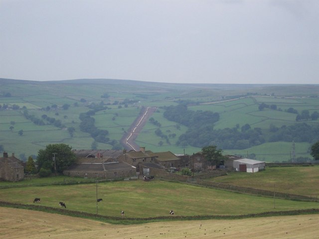
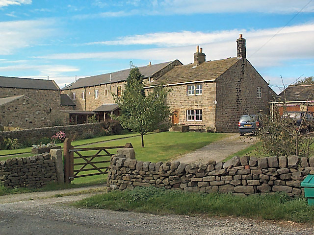
Middleton Moor is a picturesque area located in Yorkshire, England. It is situated within the Yorkshire Downs, a range of rolling hills and valleys that provide a breathtaking backdrop for the moorland. Covering an expansive area, Middleton Moor is known for its rugged beauty and diverse wildlife.
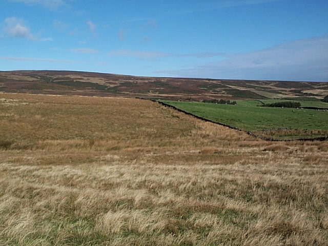
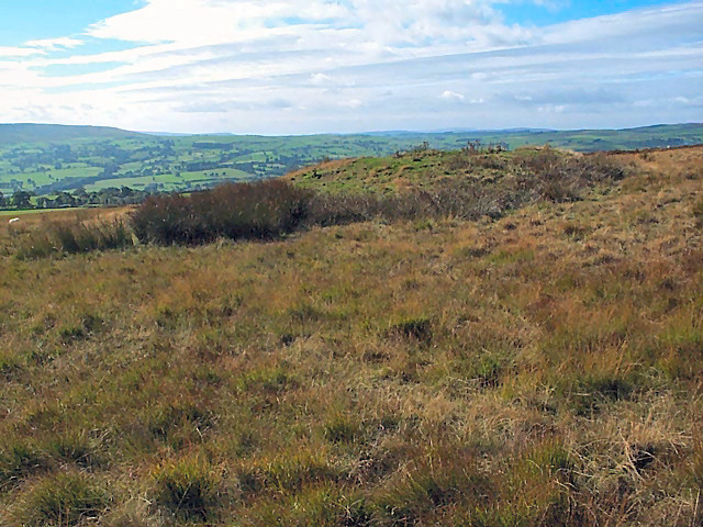
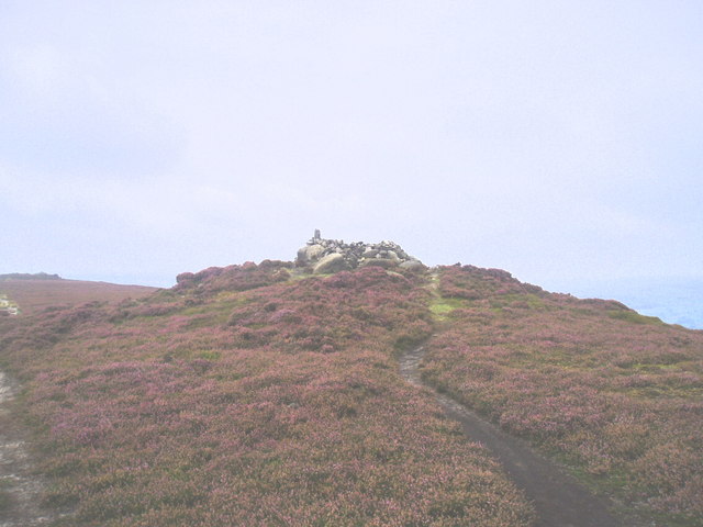
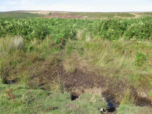
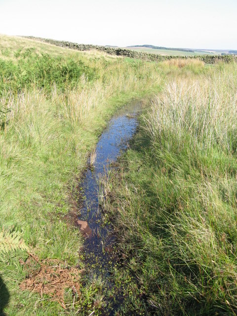
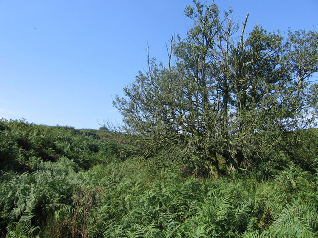
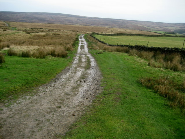
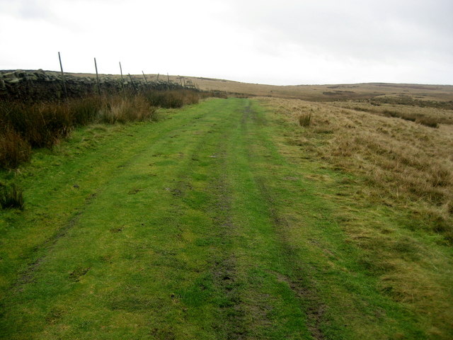
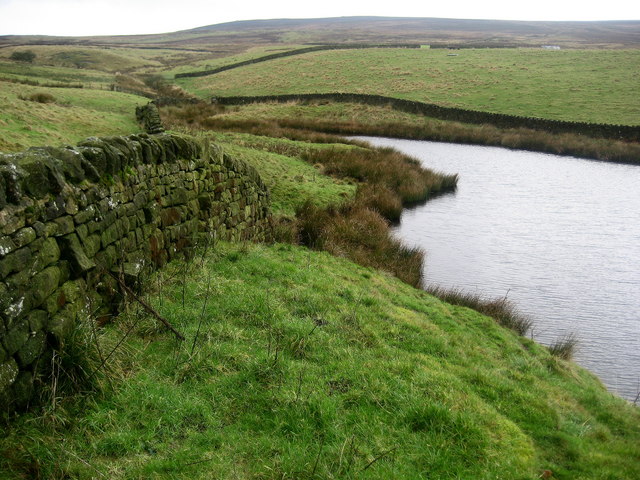
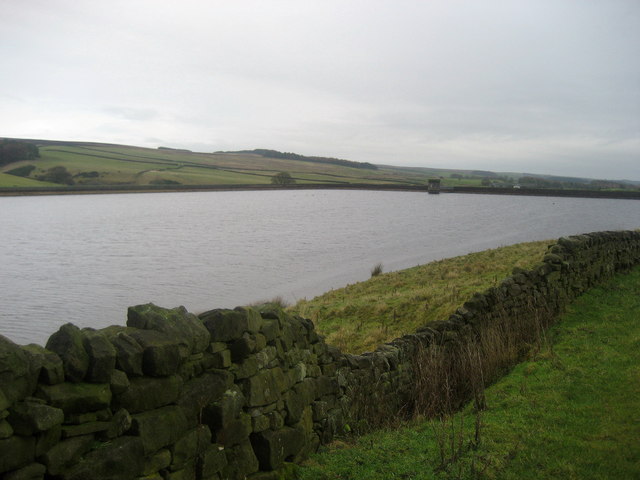
The moorland of Middleton Moor is characterized by its open, expansive spaces, covered in heather and grasses. The landscape is dotted with small streams and ponds, adding to its natural charm. Visitors can take leisurely walks along the many footpaths, enjoying the peaceful atmosphere and taking in the panoramic views.
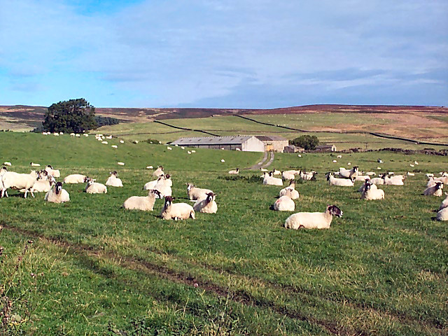
The wildlife on Middleton Moor is abundant and varied. Birdwatchers will delight in the numerous species that inhabit the area, including curlews, lapwings, and red grouse. In addition, the moorland is home to a variety of mammals, such as hares, rabbits, and even the occasional deer.
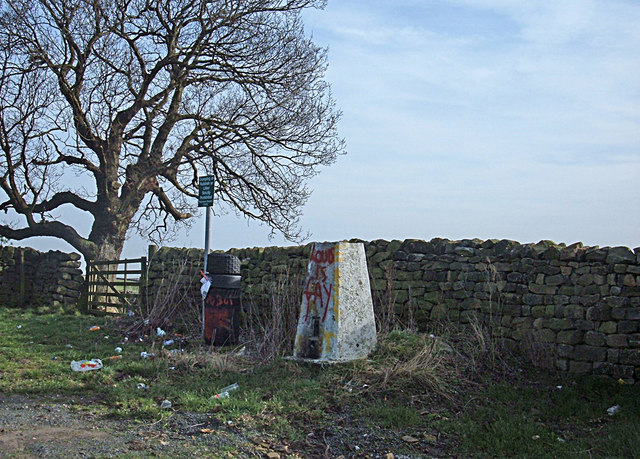
Middleton Moor is not only a haven for nature enthusiasts but also a place of historical significance. The area is dotted with ancient burial mounds and stone circles, providing a glimpse into the region's rich past. Archaeological excavations have revealed artifacts dating back thousands of years, giving insight into the lives of those who once inhabited the moorland.
For those seeking a peaceful escape from the bustle of everyday life, Middleton Moor offers a serene and idyllic setting. Its natural beauty, diverse wildlife, and historical significance make it a must-visit destination for nature lovers and history enthusiasts alike.
If you have any feedback on the listing, please let us know in the comments section below.
Middleton Moor Images
Images are sourced within 2km of 53.954442/-1.8361494 or Grid Reference SE1050. Thanks to Geograph Open Source API. All images are credited.
![Old Milestone Langbar Moor This old stone ['Skipton 6 1/2 mls'] stands at the junction of 2 paths on a damp moor above Addingham. Probably the route of an old pack horse track from Skipton to Knaresborough.](https://s2.geograph.org.uk/photos/13/81/138122_2584b42c.jpg)
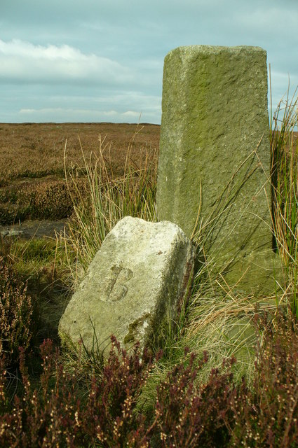
![Middleton Moor Milestone "To Knarsbrough [Knaresborough] 11 Ms [Miles]. Other sides read "To Skipton 6 Ms" and "To Otley 6 Ms".](https://s3.geograph.org.uk/geophotos/01/53/53/1535391_48bbc548.jpg)
Middleton Moor is located at Grid Ref: SE1050 (Lat: 53.954442, Lng: -1.8361494)
Division: West Riding
Administrative County: North Yorkshire
District: Harrogate
Police Authority: North Yorkshire
What 3 Words
///advantage.cropping.crisis. Near Ilkley, West Yorkshire
Nearby Locations
Related Wikis

Nesfield
Nesfield is a small village, 2 miles (3.2 km) north-west of Ilkley on the north bank of the River Wharfe, in the civil parish of Nesfield with Langbar...
Middleton-on-Wharfe
Middleton is a hamlet and civil parish in the Harrogate district of North Yorkshire, England. It is on the border with West Yorkshire and 1 mile north...

St Peter's Church, Addingham
St Peter's Church is a Church of England parish church in Addingham, West Yorkshire. It is a Grade I listed building, with the main structure dating to...

Ilkley Lido
Ilkley Lido is an open-air swimming pool in the West Yorkshire, England, spa town of Ilkley, part of a complex that also includes an indoor heated swimming...
Nearby Amenities
Located within 500m of 53.954442,-1.8361494Have you been to Middleton Moor?
Leave your review of Middleton Moor below (or comments, questions and feedback).