Twizle Head Moss

Downs, Moorland in Yorkshire

England

Twizle Head Moss

Holme Moss transmitting station  Holme Moss transmitting station is owned and operated by Arqiva. It is 748ft tall and provides coverage of analogue and digital radio to Derbyshire, Greater Manchester, South Yorkshire, and West Yorkshire.
Holme Moss transmitting station Credit: Daniel Parks

The requested URL returned error: 429 Too Many Requests

If you have any feedback on the listing, please let us know in the comments section below.

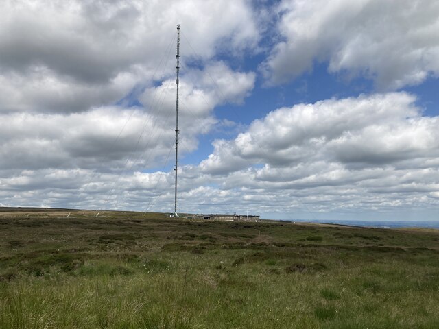
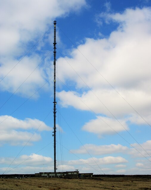
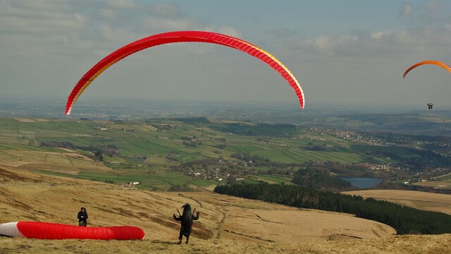
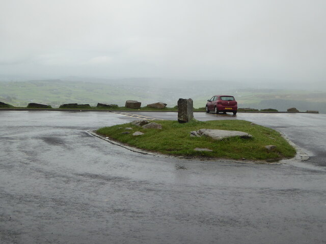
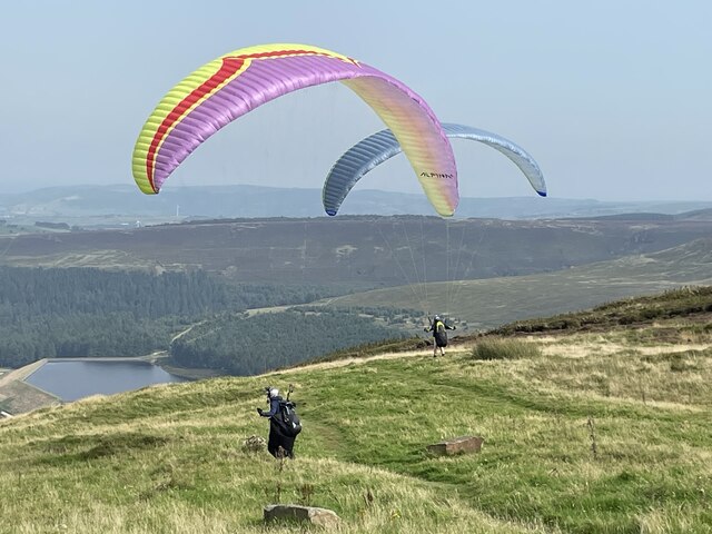
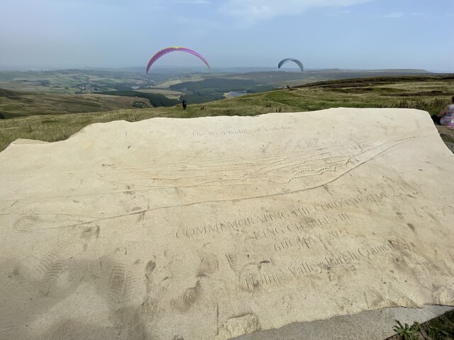
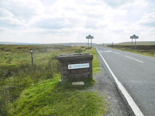
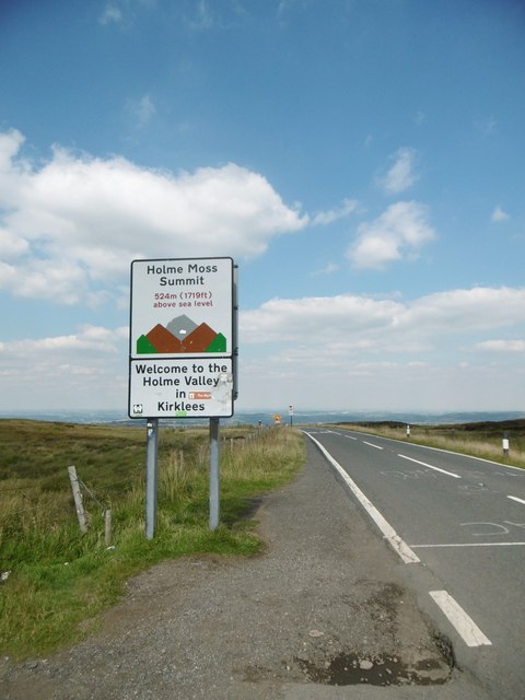
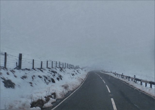
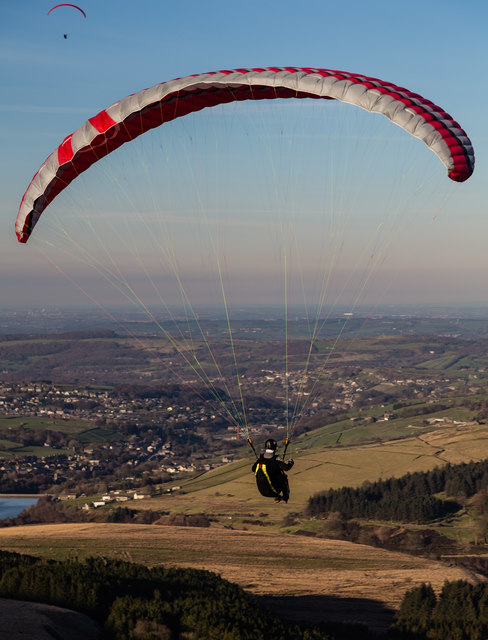
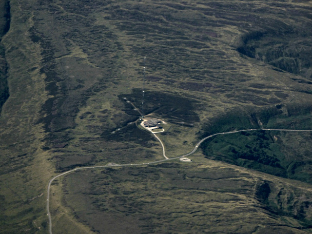
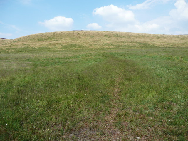
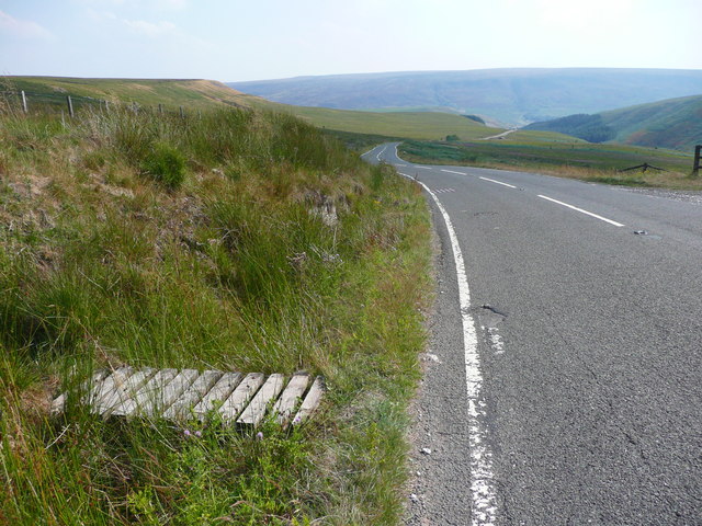
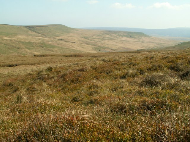
Twizle Head Moss Images

Images are sourced within 2km of 53.526487/-1.8377275 or Grid Reference SE1003. Thanks to Geograph Open Source API. All images are credited.

Holme Moss transmitting station  Holme Moss transmitting station is owned and operated by Arqiva. It is 748ft tall and provides coverage of analogue and digital radio to Derbyshire, Greater Manchester, South Yorkshire, and West Yorkshire.
Holme Moss transmitting station
Holme Moss transmitting station is owned and operated by Arqiva. It is 748ft tall and provides coverage of analogue and digital radio to Derbyshire, Greater Manchester, South Yorkshire, and West Yorkshire.
Holme Moss Transmitting Station Viewed from A6024 Woodhead Road
Holme Moss Transmitting Station
Viewed from A6024 Woodhead Road
Paragliding from Holme Moss View with the Holme valley below
Paragliding from Holme Moss
View with the Holme valley below
Path through the heather on Holme Moss Walking to Black Hill.
Path through the heather on Holme Moss
Walking to Black Hill.
Car park on Holme Moss On a wet and misty Monday morning. There wasn't much of a view.
Car park on Holme Moss
On a wet and misty Monday morning. There wasn't much of a view.
Paragliders on Holme Moss Two paragliders on top of Holme Moss, near the car park.
Paragliders on Holme Moss
Two paragliders on top of Holme Moss, near the car park.
Holme Moss Commemorative stone for the coronation of King Charles III at top of Holme Moss. Paragliders in background.
Holme Moss
Commemorative stone for the coronation of King Charles III at top of Holme Moss. Paragliders in background.
Hayden Moor, valley Hayden Moor, left; Hayden Brook somewhere below.
Hayden Moor, valley
Hayden Moor, left; Hayden Brook somewhere below.
Hayden Moor, stile On the path to Hayden Brook, with sad evidence of fly-tipping.
Hayden Moor, stile
On the path to Hayden Brook, with sad evidence of fly-tipping.
Holme Moss, boundary post Entering Derbyshire on A6024 at the summit.
Holme Moss, boundary post
Entering Derbyshire on A6024 at the summit.
Holme Moss Summit Entering Yorkshire from Derbyshire on A6024.
Holme Moss Summit
Entering Yorkshire from Derbyshire on A6024.
Heyden Brook View looking across the valley of Heyden Brook.
Heyden Brook
View looking across the valley of Heyden Brook.
Car Park on Heyden Moor
Woodhead Road
Woodhead Road
Wilmer Hill Paragliding on Wilmer Hill.
Wilmer Hill
Paragliding on Wilmer Hill.
Holme Moss transmitter from the air By the A6024 Woodhead Road.
Holme Moss transmitter from the air
By the A6024 Woodhead Road.
Path onto Britland Edge Hill. Tintwistle This was taken from the gate opposite the first layby down the hill. The path disappears when the steep slope is reached, but keep climbing and the edge of the peat is reached, and then the boundary fence can be seen.
Path onto Britland Edge Hill. Tintwistle
This was taken from the gate opposite the first layby down the hill. The path disappears when the steep slope is reached, but keep climbing and the edge of the peat is reached, and then the boundary fence can be seen.
Footbridge over a ditch alongside the A6024, Tintwistle This is opposite the first layby down the hill. The footbridge leads to a gate and the path shown in <a href="https://www.geograph.org.uk/photo/5857129">SE0902 : Path onto Britland Edge Hill. Tintwistle</a>.
Footbridge over a ditch alongside the A6024, Tintwistle
This is opposite the first layby down the hill. The footbridge leads to a gate and the path shown in SE0902 : Path onto Britland Edge Hill. Tintwistle.
Show me another place!

Twizle Head Moss is located at Grid Ref: SE1003 (Lat: 53.526487, Lng: -1.8377275)

Division: West Riding

Unitary Authority: Kirklees

Police Authority: West Yorkshire

What 3 Words

///driftwood.bleaker.future. Near Holmfirth, West Yorkshire

Related Wikis

Britland Edge Hill

Britland Edge Hill is a hill, 523 metres (1,716 ft) high, in the Peak District in England. It is located on the border of Derbyshire and West Yorkshire...

Holme Moss

Holme Moss (1,719 feet or 524 metres a.s.l.) is high moorland on the border between the Holme Valley district of Kirklees in West Yorkshire and the High...

Holme Moss transmitting station

The Holme Moss transmitting station is a radio transmitting station at Holme Moss in West Yorkshire, England. The mast provides VHF coverage of both FM...

Underhill, Holme

Underhill at Holme, West Yorkshire, is a modern house designed by Arthur Quarmby in 1969 and built from 1973 to 1975. Underhill has been Grade II listed...

Nearby Amenities

Located within 500m of 53.526487,-1.8377275
Ford: yes
Lat/Long: 53.5296285/-1.836535
Twizle Head Moss
Place: locality
Lat/Long: 53.5266602/-1.8323518
The data included in this document is from www.openstreetmap.org. The data is made available under ODbL.

Have you been to Twizle Head Moss?

Leave your review of Twizle Head Moss below (or comments, questions and feedback).