Langbar Moor

Downs, Moorland in Yorkshire Harrogate

England

Langbar Moor

Middleton Moor To the right is farmland, whereas by contrast to the left is rough grassland pasture now designated as access land.
Middleton Moor Credit: David Spencer

The requested URL returned error: 429 Too Many Requests

If you have any feedback on the listing, please let us know in the comments section below.
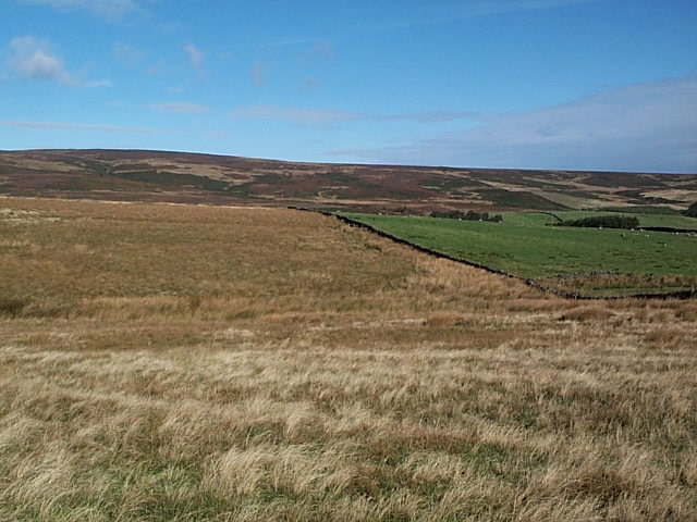
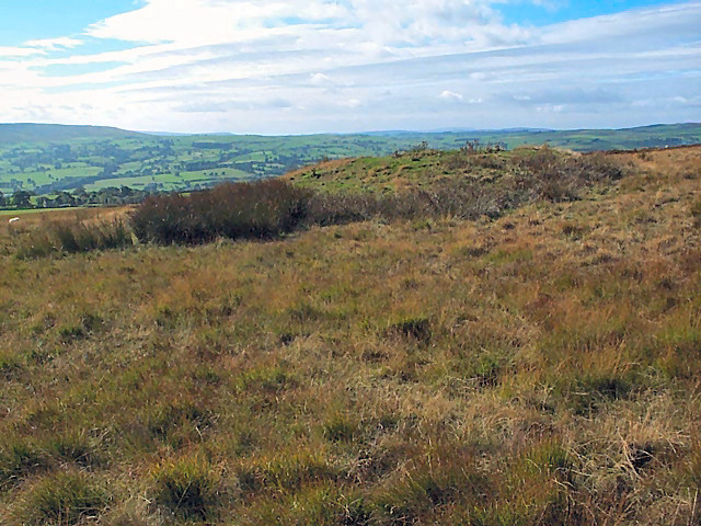
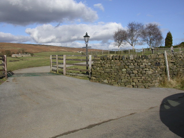
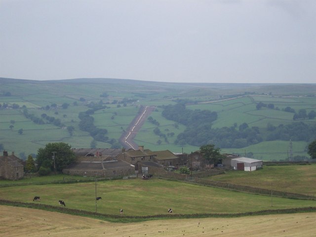
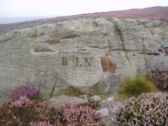
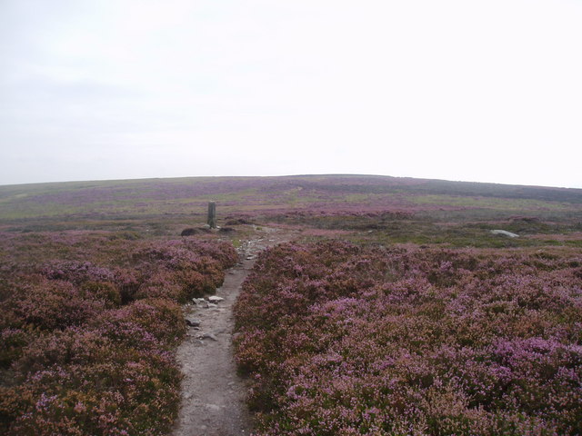
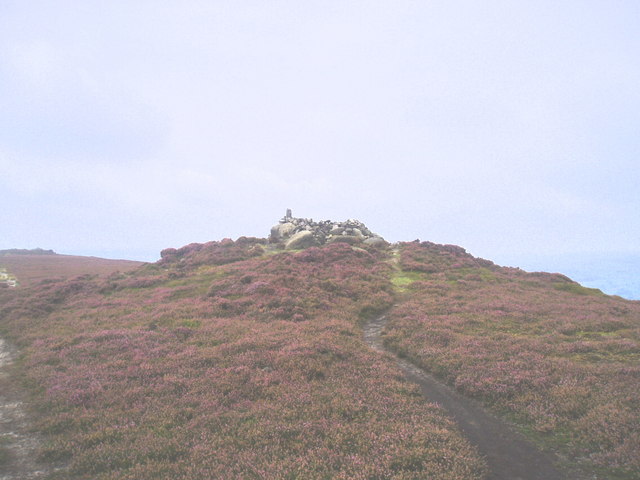
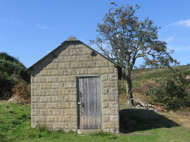
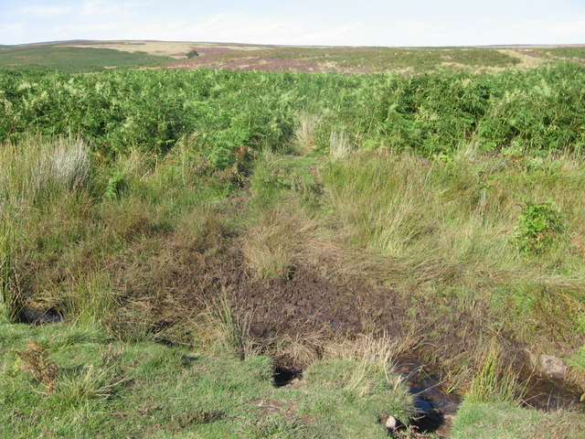
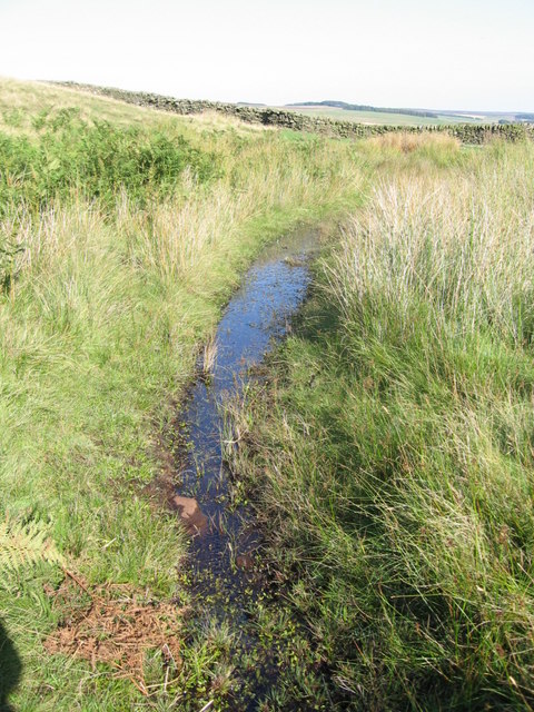
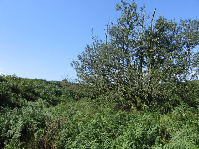
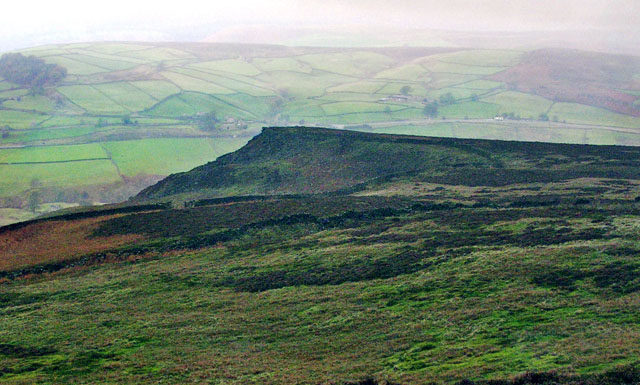
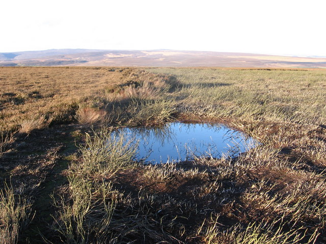
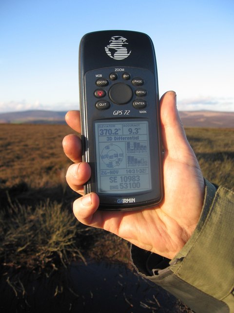
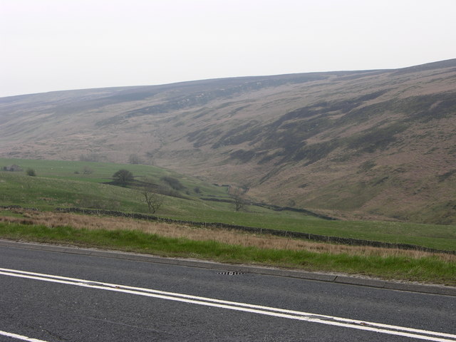
Langbar Moor Images

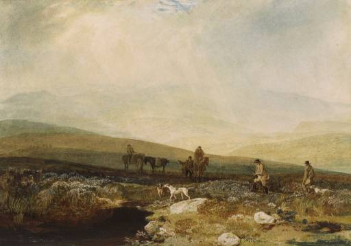
Images are sourced within 2km of 53.967286/-1.8361601 or Grid Reference SE1052. Thanks to Geograph Open Source API. All images are credited.

Middleton Moor To the right is farmland, whereas by contrast to the left is rough grassland pasture now designated as access land.
Middleton Moor
To the right is farmland, whereas by contrast to the left is rough grassland pasture now designated as access land.
Round Hill tumulus, Middleton Moor To the north are a number of cupstones with which this tumulus may be associated... or maybe not. Beyond is the view across Wharfedale, with Addingham Moor in the distance to the left.
Round Hill tumulus, Middleton Moor
To the north are a number of cupstones with which this tumulus may be associated... or maybe not. Beyond is the view across Wharfedale, with Addingham Moor in the distance to the left.
Gateway to Moor End Farm Looking North across the cattle grid at the entrance to Moor End Farm. Blackhill House is visible in the background with Langbar Moor beyond. Note the contrast between the colour of the vegetation on either side of the dividing dry-stone wall.
Gateway to Moor End Farm
Looking North across the cattle grid at the entrance to Moor End Farm. Blackhill House is visible in the background with Langbar Moor beyond. Note the contrast between the colour of the vegetation on either side of the dividing dry-stone wall.
Old Milestone Langbar Moor This old stone ['Skipton 6 1/2 mls'] stands at the junction of 2 paths on a damp moor above Addingham. Probably the route of an old pack horse track from Skipton to Knaresborough.
Old Milestone Langbar Moor
This old stone ['Skipton 6 1/2 mls'] stands at the junction of 2 paths on a damp moor above Addingham. Probably the route of an old pack horse track from Skipton to Knaresborough.
Middleton Moor, Ilkley Actually taken from the other side of the Wharfe valley on Cocking Lane above Addingham. Picture shows construction of a pipeline across the moor. What is it - any ideas??
Middleton Moor, Ilkley
Actually taken from the other side of the Wharfe valley on Cocking Lane above Addingham. Picture shows construction of a pipeline across the moor. What is it - any ideas??
Boundary marker The boundary between the parishes of Beamsley and Langbar Nesfield marked on this large boulder instead of a normal stone boundary marker
Boundary marker
The boundary between the parishes of Beamsley and Langbar Nesfield marked on this large boulder instead of a normal stone boundary marker
Bramberry Hill Footpath leading through heather to Bramberry Hill with parish boundary marker.
Bramberry Hill
Footpath leading through heather to Bramberry Hill with parish boundary marker.
Boundary stone Boundary stone at Catholic Gate, near Round Hill
Boundary stone
Boundary stone at Catholic Gate, near Round Hill
The Old Pike Cairn on the Beamsley Beacon Ridge.
The Old Pike
Cairn on the Beamsley Beacon Ridge.
Loftshaw Gill Shooting Shelter
ROMAN ROAD (course of), Middleton Moor Located using Garmin GPS! 
The point at which the course of the Roman road crosses the lower reaches of Loftshaw Gill.
ROMAN ROAD (course of), Middleton Moor
Located using Garmin GPS! The point at which the course of the Roman road crosses the lower reaches of Loftshaw Gill.
Delves Beck
Delves Beck
Middle Gill, Bracken Ridge The gill (to the left of the tree) can be heard but not seen, completely obscured by bracken!
Middle Gill, Bracken Ridge
The gill (to the left of the tree) can be heard but not seen, completely obscured by bracken!
Little Crag, Beamsley Moor Looking North to Little Crag with Summerscales and A59 beyond.
Little Crag, Beamsley Moor
Looking North to Little Crag with Summerscales and A59 beyond.
Beamsley Moor A line of tall heather runs into the distance to the left of the pool,
missed by two different areas of burning.
Beamsley Moor
A line of tall heather runs into the distance to the left of the pool, missed by two different areas of burning.
Beamsley Moor A GPS makes it easy to navigate off the footpath!
Beamsley Moor
A GPS makes it easy to navigate off the footpath!
Round Hill
Round Hill
A59 and valley near Blubberhouses Looking across the A59 to the valley of Kex Gill with the low crags of High Combs beyond.
A59 and valley near Blubberhouses
Looking across the A59 to the valley of Kex Gill with the low crags of High Combs beyond.
Show me another place!

Langbar Moor is located at Grid Ref: SE1052 (Lat: 53.967286, Lng: -1.8361601)

Division: West Riding

Administrative County: North Yorkshire

District: Harrogate

Police Authority: North Yorkshire

What 3 Words

///thrashing.loaded.goodbyes. Near Addingham, West Yorkshire

Nearby Locations

Langbar Moor

Related Wikis

Hazlewood

Hazlewood is a hamlet in the English county of North Yorkshire. Hazlewood lies to the east of the town of Skipton by 7.5 miles (12.1 km) and is located...

Hazlewood with Storiths

Hazlewood with Storiths is a civil parish in the Craven district of North Yorkshire, England. The population of the civil parish as of the 2011 census...
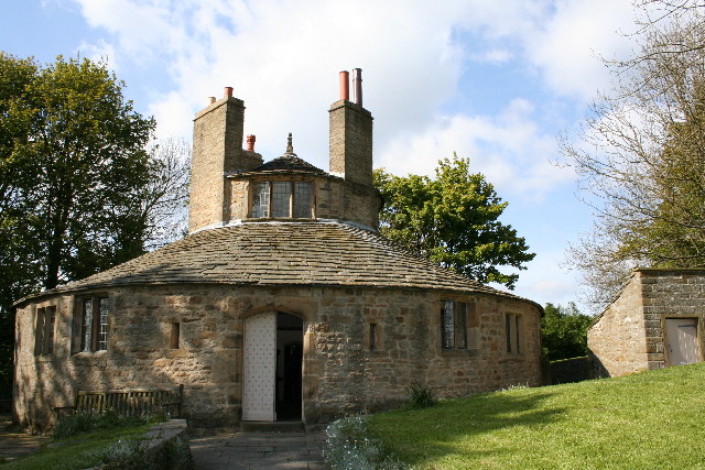
Beamsley Hospital

Beamsley Hospital is an Almshouse building at Beamsley, near Skipton in North Yorkshire, and founded in 1593 by the Lady Margaret Russell, the Countess...

Beamsley

Beamsley is a village and civil parish in the Craven district of North Yorkshire, England. It is just within the boundary of the Yorkshire Dales National...

Nearby Amenities

Located within 500m of 53.967286,-1.8361601
Langbar Moor
Natural: moor
Source: npe
Lat/Long: 53.9651166/-1.8392432
shooting house
Historic: archaeological_site
Source: OS 1:25k
Lat/Long: 53.9707085/-1.8328877
Birks Bank
Natural: fell
Source: OS 1853
Lat/Long: 53.9644958/-1.8372911
Historic: boundary_stone
Source: NLS-OS-1st_Series
Lat/Long: 53.9684725/-1.8432891
Hunting Stand
Hunting Stand: grouse_butt
Lat/Long: 53.9675545/-1.8303823
Hunting Stand
Hunting Stand: grouse_butt
Lat/Long: 53.9656406/-1.8291901
Hunting Stand
Hunting Stand: grouse_butt
Lat/Long: 53.9661187/-1.8294677
Hunting Stand
Hunting Stand: grouse_butt
Lat/Long: 53.9665818/-1.8297373
Hunting Stand
Hunting Stand: grouse_butt
Lat/Long: 53.9670772/-1.8300283
Hunting Stand
Hunting Stand: grouse_butt
Lat/Long: 53.9679545/-1.8309939
Hunting Stand
Hunting Stand: grouse_butt
Lat/Long: 53.9683189/-1.8315987
Hunting Stand
Hunting Stand: grouse_butt
Lat/Long: 53.9687907/-1.8323793
Hunting Stand
Hunting Stand: grouse_butt
Lat/Long: 53.9691445/-1.8329687
Hunting Stand
Hunting Stand: grouse_butt
Lat/Long: 53.9695101/-1.8335916
Historic: boundary_stone
Source: NLS-OS-1st_Series
Lat/Long: 53.9697321/-1.8402888
The data included in this document is from www.openstreetmap.org. The data is made available under ODbL.

Have you been to Langbar Moor?

Leave your review of Langbar Moor below (or comments, questions and feedback).