Coals Hill
Hill, Mountain in Northumberland
England
Coals Hill

Coals Hill is a prominent hill located in the county of Northumberland, England. Situated in the northern part of the county, it is part of the beautiful landscape of the North Pennines Area of Outstanding Natural Beauty. With an elevation of approximately 482 meters (1,582 feet), Coals Hill is classified as a hill rather than a mountain.
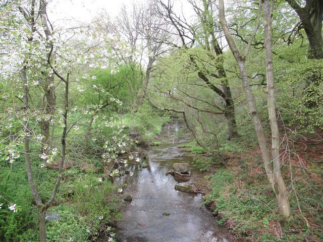
The hill offers breathtaking views of the surrounding countryside, including the nearby village of Nenthead, which lies to the east. It is also in close proximity to the River Nent and the Nent Valley, providing stunning vistas of the valley and its meandering waterway.
Coals Hill is known for its rich mining history. The area was once a thriving center for lead and zinc mining during the 19th and early 20th centuries. Today, remnants of this industrial past can still be seen, with old mine workings and spoil heaps scattered across the hillside.
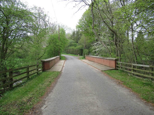
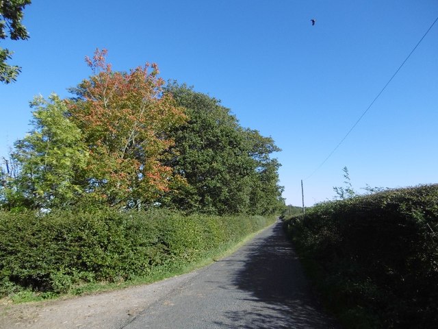
The hill is a popular destination for outdoor enthusiasts, attracting hikers and walkers who appreciate the rugged beauty of the Northumberland countryside. There are several well-marked trails that lead to the summit of Coals Hill, offering rewarding panoramic views from the top.
Coals Hill is also home to a diverse range of flora and fauna, with heather-covered moorland and scattered woodland providing habitats for various species. Birdwatchers may be fortunate enough to spot birds of prey, such as buzzards and kestrels, soaring above the hill.
Overall, Coals Hill is a remarkable natural feature that combines historical significance with stunning natural beauty, making it a must-visit destination for those exploring Northumberland.
If you have any feedback on the listing, please let us know in the comments section below.
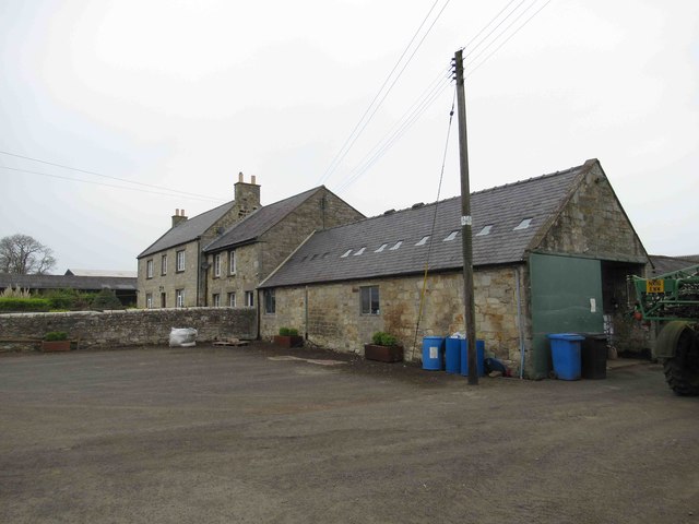
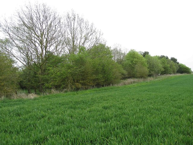
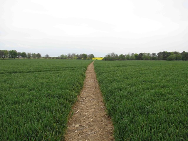
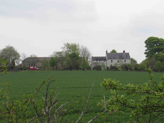
Coals Hill Images
Images are sourced within 2km of 55.067289/-1.8352746 or Grid Reference NZ1074. Thanks to Geograph Open Source API. All images are credited.


Coals Hill is located at Grid Ref: NZ1074 (Lat: 55.067289, Lng: -1.8352746)
Unitary Authority: Northumberland
Police Authority: Northumbria
What 3 Words
///insects.triathlon.succumbs. Near Darras Hall, Northumberland
Nearby Locations
Related Wikis
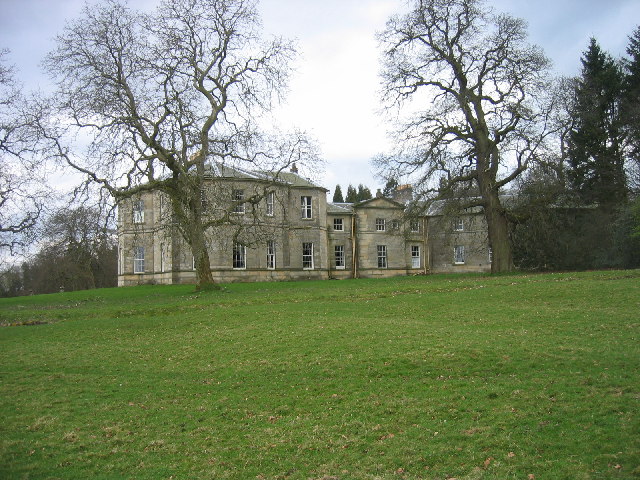
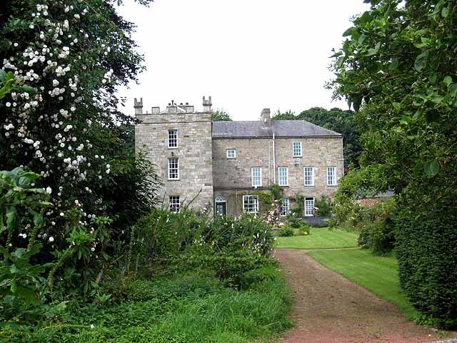
Milbourne Hall
Milbourne Hall is a privately owned mansion house at Milbourne, near Ponteland, Northumberland, England, which has Grade I listed building status.The Bates...
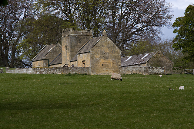
Bitchfield Tower
Bitchfield Tower or West Bitchfield Tower is a 15th-century medieval pele tower near Belsay, Northumberland, England. It is a Grade I listed building.The...
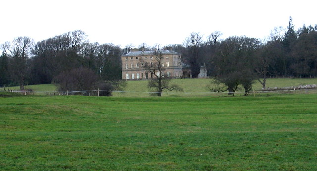
Dissington Hall
Dissington Hall is an English country house situated on the banks of the River Pont at North Dissington, Ponteland, Northumberland, England. It is a Grade...
Black Heddon
Black Heddon is a village and former civil parish, now in the parish of Belsay, in the county of Northumberland, England. It is situated to the north-west...

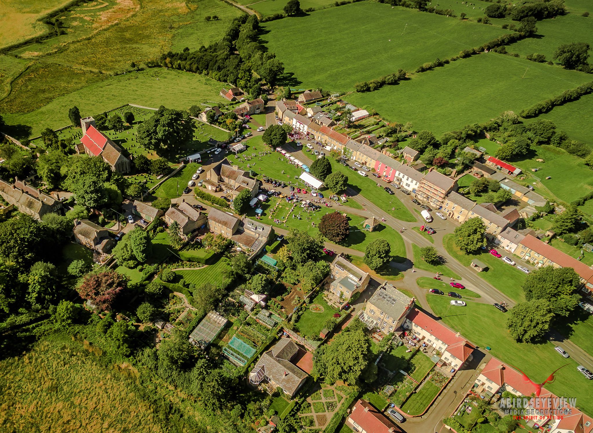
Belsay
Belsay is a village and civil parish in Northumberland, England. The village is about 5 miles (10 km) from Ponteland on the A696, which links the village...
Eachwick
Eachwick is a hamlet and former civil parish 11 miles (18 km) from Morpeth, now in the parish of Stamfordham, in the county of Northumberland, England...
Stamfordham
Stamfordham is a village and civil parish in Northumberland, England. The population of the civil parish at the 2001 Census was 1,047, rising to 1,185...
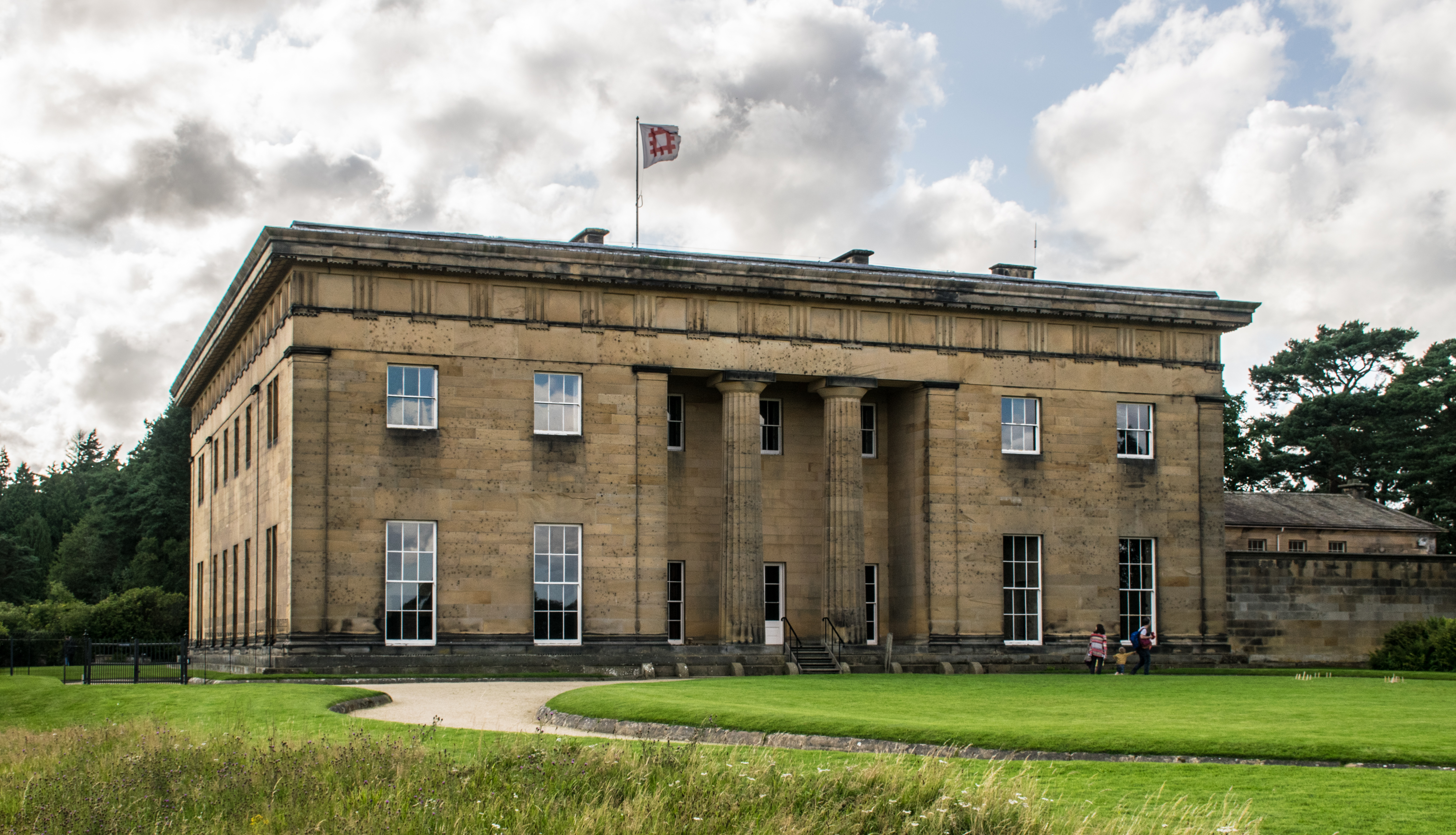
Belsay Hall
Belsay Hall is a Regency style country house located at Belsay, Northumberland. It is regarded as the first British country house to be built entirely...
Nearby Amenities
Located within 500m of 55.067289,-1.8352746Have you been to Coals Hill?
Leave your review of Coals Hill below (or comments, questions and feedback).