Round Hill Camp

Heritage Site in Somerset Sedgemoor

England

Round Hill Camp

Hawkridge Reservoir
Hawkridge Reservoir Credit: Chris Andrews

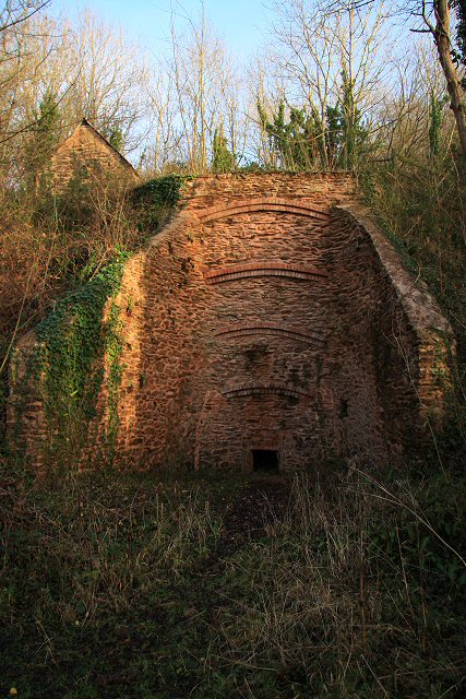
Round Hill Camp, located in Somerset, England, is a recognized heritage site that holds significant historical and cultural value. The camp, situated on a hill overlooking the picturesque countryside, was originally established in the early 20th century as a training ground for the British Army.

The camp played a crucial role during both World Wars, serving as a training facility for soldiers before they were deployed to the frontlines. It was known for its rigorous training programs that prepared soldiers for the harsh realities of warfare. Many soldiers who trained at Round Hill Camp went on to contribute to important military campaigns.

Over the years, the camp expanded to accommodate a wide range of facilities, including barracks, training grounds, and administrative buildings. These structures were constructed using traditional architectural styles prevalent during the time period.

Today, Round Hill Camp stands as a testament to the bravery and sacrifice of the soldiers who trained there. The site attracts historians, researchers, and visitors interested in learning about the camp's military history. The preserved buildings and infrastructure offer a glimpse into the military training practices of the past.

Visitors to Round Hill Camp can explore the grounds, walk through the barracks, and view exhibits that showcase the camp's history. The site also hosts educational programs and events that aim to provide a deeper understanding of the camp's significance.

Round Hill Camp, Somerset, is an important heritage site that honors the military history of the region and serves as a reminder of the bravery and sacrifice of the soldiers who trained there.

If you have any feedback on the listing, please let us know in the comments section below.

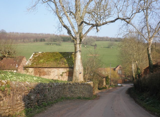
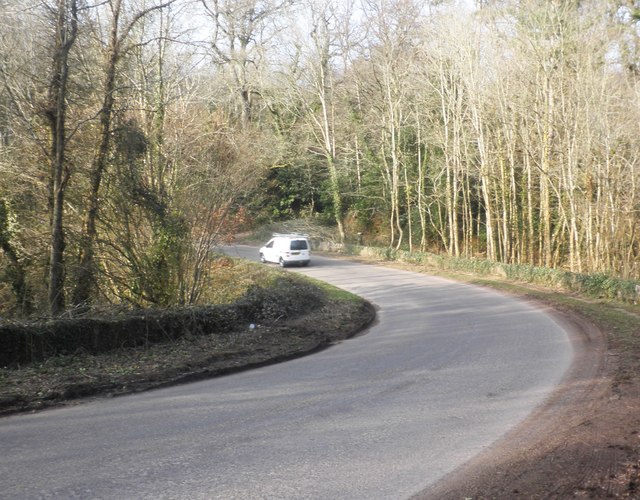
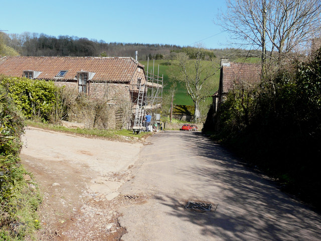
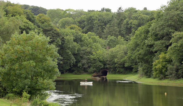
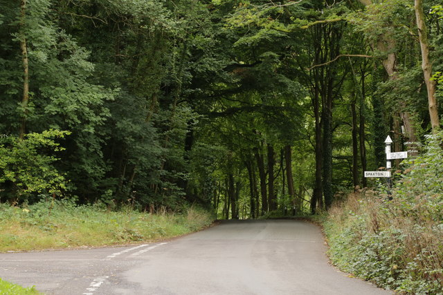
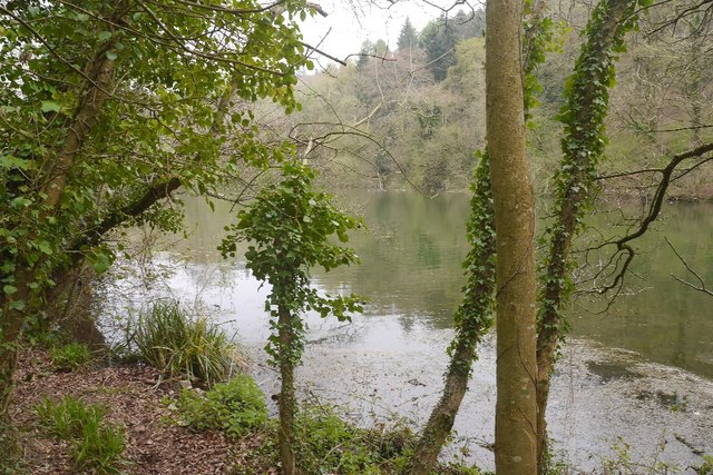
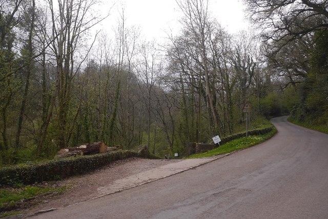
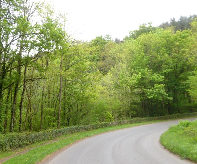
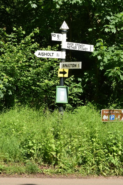
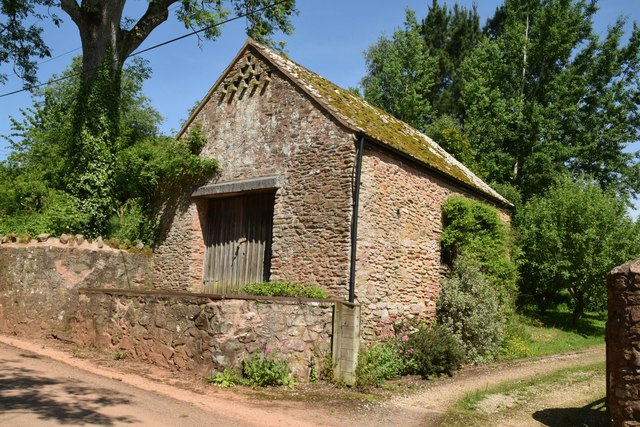
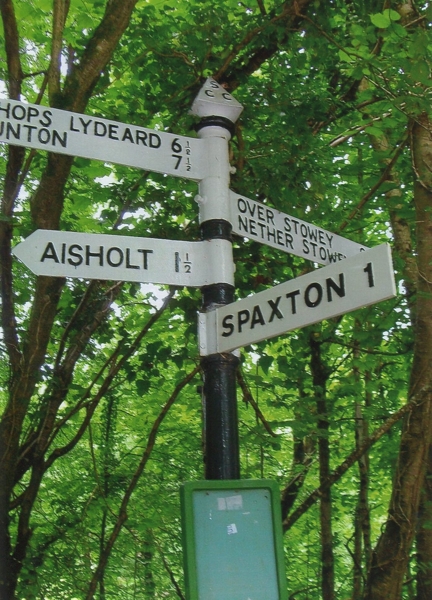
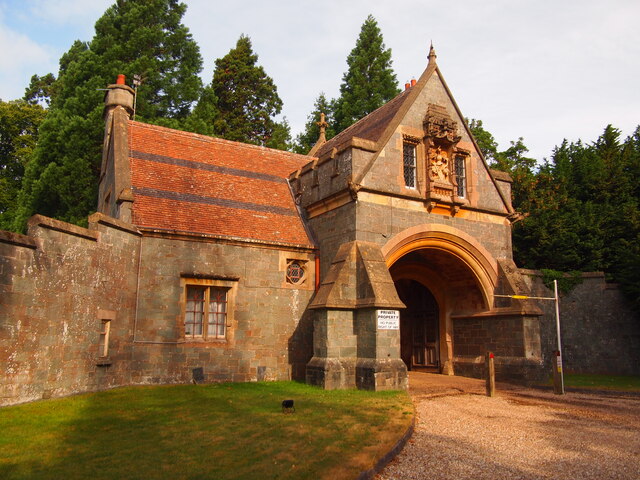
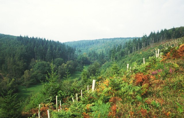
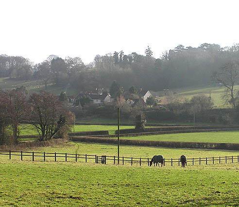
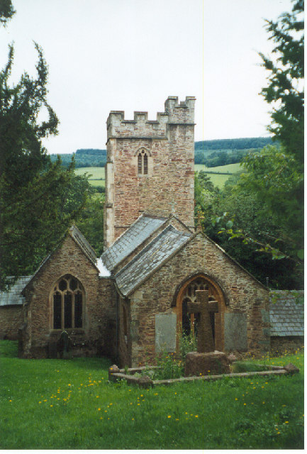
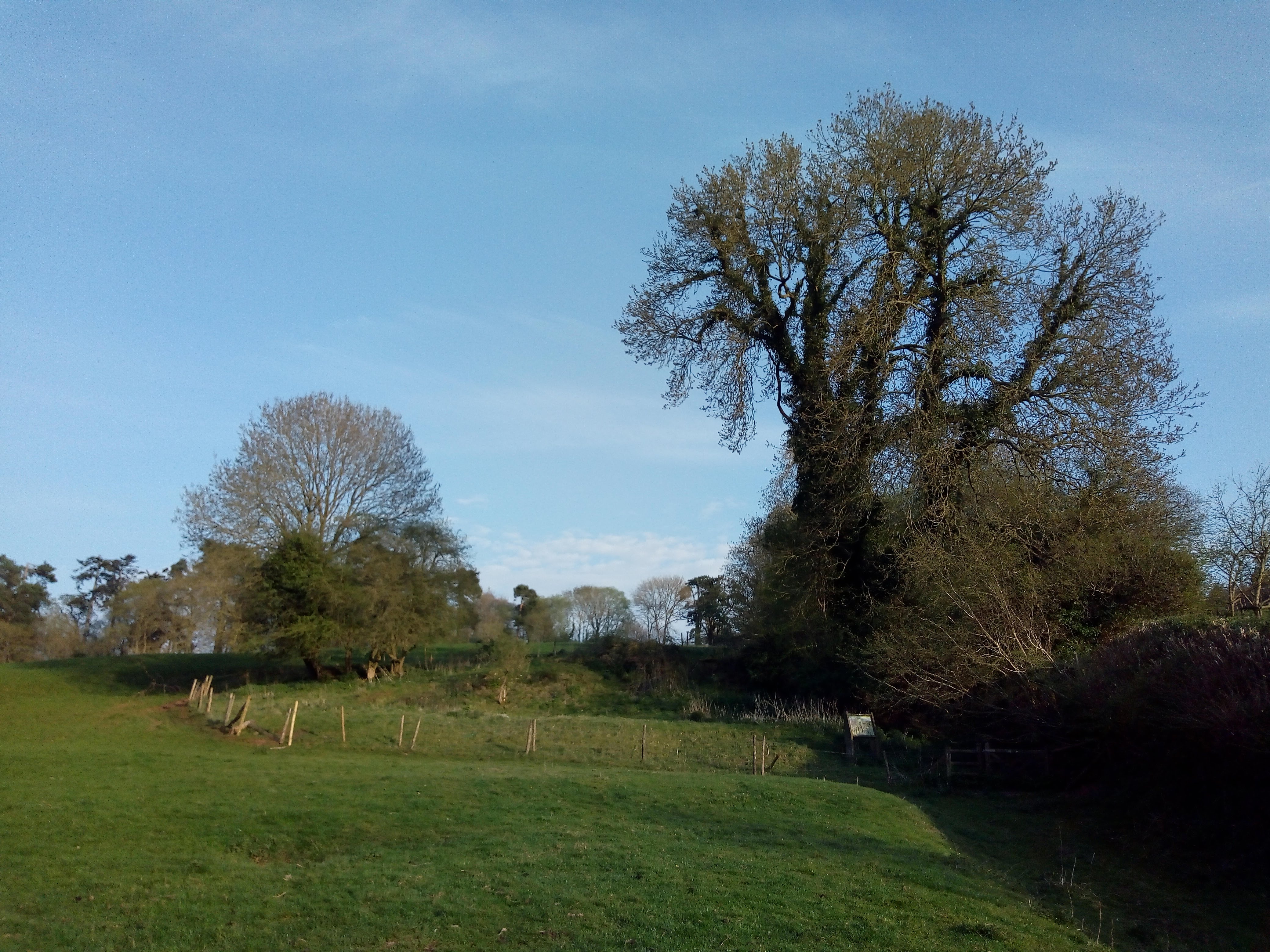
Round Hill Camp Images

Images are sourced within 2km of 51.1194/-3.1669 or Grid Reference ST1836. Thanks to Geograph Open Source API. All images are credited.

Hawkridge Reservoir
Hawkridge Reservoir
Limekiln above Hawkridge Reservoir Following its demise in the 1930s, this limekiln was restored in 1997, using traditional materials including lime mortar and reclaimed stone and bricks from the site. In its time it would have produced between five and eight tons of lime a day. The kiln faces into the prevailing wind and has ‘wings’ in order to catch maximum draught.
Limekiln above Hawkridge Reservoir
Following its demise in the 1930s, this limekiln was restored in 1997, using traditional materials including lime mortar and reclaimed stone and bricks from the site. In its time it would have produced between five and eight tons of lime a day. The kiln faces into the prevailing wind and has ‘wings’ in order to catch maximum draught.
Lower Aisholt On the right is Lower Aisholt Farmhouse, described at <span class="nowrap"><a title="http://www.imagesofengland.org.uk/Details/Default.aspx?id=269413&mode=adv" rel="nofollow ugc noopener" href="http://www.imagesofengland.org.uk/Details/Default.aspx?id=269413&mode=adv">Link</a><img style="margin-left:2px;" alt="External link" title="External link - shift click to open in new window" src="https://s1.geograph.org.uk/img/external.png" width="10" height="10"/></span> . The lane, which is from Aisholt, descends to the valley floor to meet the lane from Courtway to Hawkridge Reservoir.
Lower Aisholt
On the right is Lower Aisholt Farmhouse, described at LinkExternal link . The lane, which is from Aisholt, descends to the valley floor to meet the lane from Courtway to Hawkridge Reservoir.
Lane to Tuxwell Farm Seen from a little east of its junction with the Plainsfield - Lower Aisholt road, the meandering lane heads towards the wood at Coleshill.
Lane to Tuxwell Farm
Seen from a little east of its junction with the Plainsfield - Lower Aisholt road, the meandering lane heads towards the wood at Coleshill.
Lower Aisholt
Lower Aisholt
Road causeway, Hawkridge Reservoir
Dovecotes, Lower Aisholt The scaffolding was being used by the workmen during the repointing of the house’s stonework.  One can see how the house got its name by the holes above the top window, which would have been the entrances to a dovecot. Dovecotes is an alternative spelling for Dovecots.
Dovecotes, Lower Aisholt
The scaffolding was being used by the workmen during the repointing of the house’s stonework. One can see how the house got its name by the holes above the top window, which would have been the entrances to a dovecot. Dovecotes is an alternative spelling for Dovecots.
Hawkridge reservoir fisherman
Lawyers Hill ending at Hawkridge Common
Hawkridge Reservoir Built to supply water to Bridgwater, it is a trout fishery.
Hawkridge Reservoir
Built to supply water to Bridgwater, it is a trout fishery.
Broomyland Hill Road descending a Quantock combe to the head of Hawkridge Reservoir.
Broomyland Hill
Road descending a Quantock combe to the head of Hawkridge Reservoir.
Woodland at Hawkridge Reservoir The reservoir is immediately to the left of the bend
Woodland at Hawkridge Reservoir
The reservoir is immediately to the left of the bend
SCC Fingerpost at Hawkridge Reservoir 4 fingered post with SCC Cap. 1 broken finger.
SCC Fingerpost at Hawkridge Reservoir
4 fingered post with SCC Cap. 1 broken finger.
Lower Aisholt Barn.
Lower Aisholt
Barn.
Old Direction Sign - Signpost by Beech Tree Hill, Spaxton Parish pyramid finial - 4 arms; Somerset SCC pyramid by the UC road, in parish of Spaxton (Sedgemoor District), Beech Tree Hill junction with Broomyland Hill and Lawyer's Hill, West of Hawkridge reservoir.

Surveyed

Milestone Society National ID: SO_ST2035
Old Direction Sign - Signpost by Beech Tree Hill, Spaxton Parish
pyramid finial - 4 arms; Somerset SCC pyramid by the UC road, in parish of Spaxton (Sedgemoor District), Beech Tree Hill junction with Broomyland Hill and Lawyer's Hill, West of Hawkridge reservoir. Surveyed Milestone Society National ID: SO_ST2035
Quantock Lodge Gatehouse
Rams Combe Forestry in the Quantocks. Steep sided valleys are a feature of the eastern side of the hills, and here they have been planted by the Forestry Commission. Looking up Rams Combe from a steep track climbing up the north eastern side of the valley.
Rams Combe
Forestry in the Quantocks. Steep sided valleys are a feature of the eastern side of the hills, and here they have been planted by the Forestry Commission. Looking up Rams Combe from a steep track climbing up the north eastern side of the valley.
Aley from Over Stowey
Show me another place!

Round Hill Camp is located at Grid Ref: ST1836 (Lat: 51.1194, Lng: -3.1669)

Administrative County: Somerset

District: Sedgemoor

Police Authority: Avon and Somerset

What 3 Words

///slams.grinning.brisk. Near Nether Stowey, Somerset

Related Wikis

Plainsfield Camp

Plainsfield Camp (or Park Plantation or Cockercombe Castle) is a possible Iron Age earthwork on the Quantock Hills near Aisholt in Somerset, England.The...

Church of All Saints, Aisholt

All Saints Church in Aisholt, Somerset, England, is the Anglican parish church for the ancient parish of Aisholt, now part of the Quantock Villages Benefice...

Quantock Lodge

Quantock Lodge is a grade II listed nineteenth-century Gothic revival mansion built by Henry Labouchere, 1st Baron Taunton (1798–1869), to the design of...

Adscombe Chapel

Adscombe Chapel: The site and remains of a medieval chapel, located 280 metres (920 ft) east of Adscombe Farm in Somerset, UK, situated on the north-west...

Wills Neck

Wills Neck is the highest summit on the Quantock Hills and one of the highest points in Somerset, England. Although only 1261 ft (384 m) high, it qualifies...

William Holland (diarist)

William Holland (9 May 1746 – 17 April 1819) is now best remembered for his diary, which he kept from 1799 to 1818. == Diary == The diary chronicles his...

Church of St Peter and St Paul, Over Stowey

Church Of St Peter And St Paul in Over Stowey, Somerset, England, is the Anglican parish church for the ancient parish of Over Stowey, now part of the...
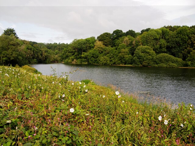
Hawkridge Reservoir

Hawkridge Reservoir is a reservoir near Spaxton, Somerset, England. The inflow is from several streams in the Quantock Hills Area of Outstanding Natural...

Nearby Amenities

Located within 500m of 51.1194,-3.1669
Plainsfield Camp
Historic: archaeological_site
Wikidata: Q7200749
Wikipedia: en:Plainsfield Camp
Lat/Long: 51.1193857/-3.1672763
The data included in this document is from www.openstreetmap.org. The data is made available under ODbL.

Have you been to Round Hill Camp?

Leave your review of Round Hill Camp below (or comments, questions and feedback).