Round Hill

Heritage Site in Yorkshire

England

Round Hill

Yarm  High  Street,  long  with  cobbled  sides
Yarm High Street, long with cobbled sides Credit: Martin Dawes

Round Hill is a prominent heritage site located in the picturesque region of Yorkshire, England. Situated in the North York Moors National Park, this historic hill stands proudly at an elevation of 1,270 feet, offering breathtaking panoramic views of the surrounding countryside.

The hill is characterized by its distinctive rounded shape, hence its name, and is covered in heather and grass, creating a vibrant and colorful landscape. Round Hill is home to a wide variety of flora and fauna, including rare species such as the black grouse and the curlew, making it an important ecological site.

Rich in history, Round Hill has been an essential landmark for centuries. It was once a significant beacon site, where signals were transmitted using fire during times of war and emergency. The hill played a crucial role in communication and defense strategies during various conflicts, including the English Civil War and World War II.

Additionally, Round Hill boasts several ancient archaeological features, including prehistoric burial mounds and stone circles, demonstrating its significance as a sacred site for early settlers. These archaeological remains provide valuable insights into the lives and beliefs of the people who inhabited the area thousands of years ago.

Today, Round Hill is a popular destination for nature lovers, history enthusiasts, and hikers seeking stunning views and a connection to the past. The hill offers numerous walking trails that allow visitors to explore its natural beauty and discover its historical significance, making it a must-visit destination for those exploring the Yorkshire region.

If you have any feedback on the listing, please let us know in the comments section below.
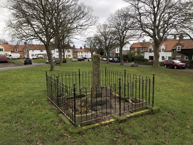
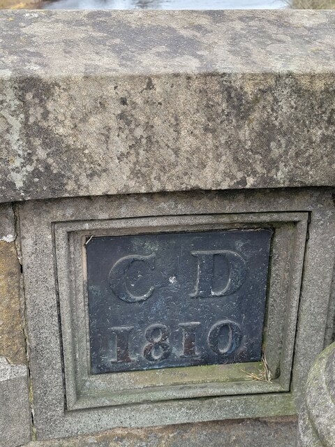
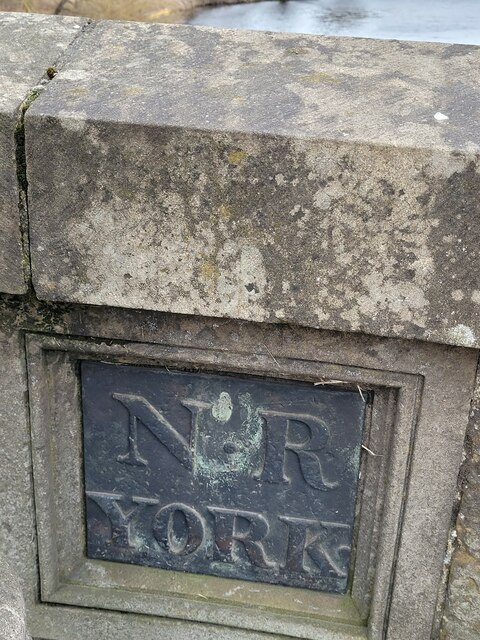
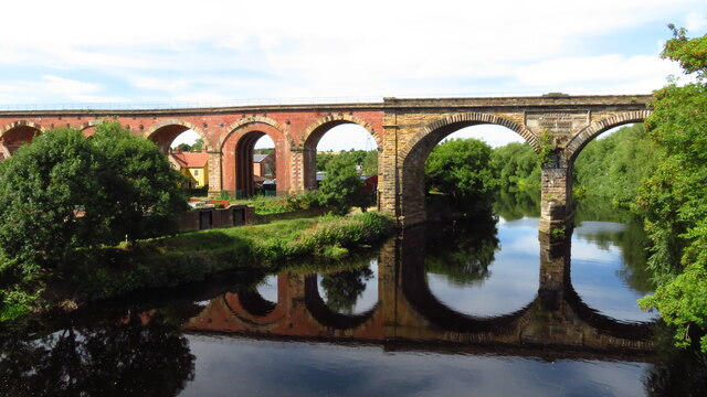
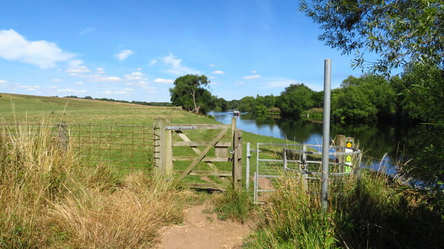
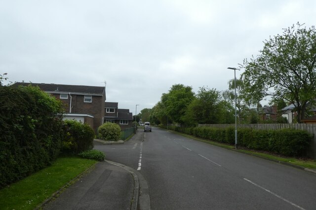
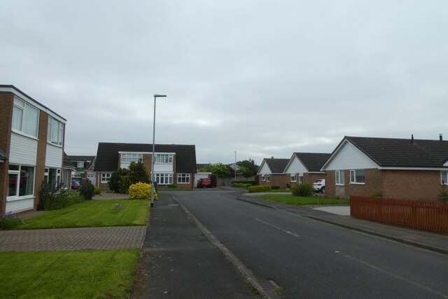
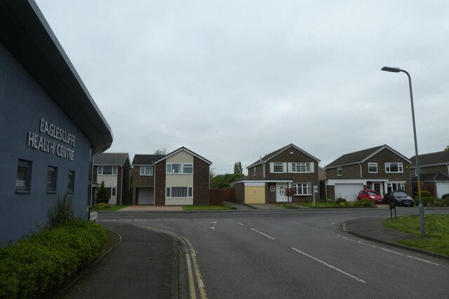
Round Hill Images

Images are sourced within 2km of 54.5099/-1.3344 or Grid Reference NZ4312. Thanks to Geograph Open Source API. All images are credited.

Yarm  High  Street,  long  with  cobbled  sides
Yarm High Street, long with cobbled sides
Yarm  Town  Hall  in  the  centre  of  the  High  Street Built in 1710, the date on the weather vane
Yarm Town Hall in the centre of the High Street
Built in 1710, the date on the weather vane
Pedestrian  crossing  point  Yarm  High  Street Business's and houses line this very long street
Pedestrian crossing point Yarm High Street
Business's and houses line this very long street
The  aptly  named  Bridge  Street The street goes through one of the 43 arches of this railway viaduct built in 1849
The aptly named Bridge Street
The street goes through one of the 43 arches of this railway viaduct built in 1849
The  A67  crossing  Yarm  Bridge  over  River  Tees  northbound Pevsner states that it is still the bridge built by Bishop Skirlaw of Durham about 1400 even if much repaired since! Walter Skirlaw was born in Skirlaugh East Riding of Yorkshire. He was Bishop of Lichfield then Wells before Durham. He gave the parish church of St Augustine to his native village, built 1401-5
The A67 crossing Yarm Bridge over River Tees northbound
Pevsner states that it is still the bridge built by Bishop Skirlaw of Durham about 1400 even if much repaired since! Walter Skirlaw was born in Skirlaugh East Riding of Yorkshire. He was Bishop of Lichfield then Wells before Durham. He gave the parish church of St Augustine to his native village, built 1401-5
Village Green And Medieval Cross, Egglescliffe
Old Boundary Marker on the A67, Yarm Bridge, Egglescliffe parish County Boundary Marker on the north side of a lamp post in a refuge on the east side of Yarm Bridge on the A67 Yarm Road and High Street. See also YN_YARM01cb. Egglescliffe parish. 

Milestone Society National ID: DU_EGGLES01cb
Old Boundary Marker on the A67, Yarm Bridge, Egglescliffe parish
County Boundary Marker on the north side of a lamp post in a refuge on the east side of Yarm Bridge on the A67 Yarm Road and High Street. See also YN_YARM01cb. Egglescliffe parish. Milestone Society National ID: DU_EGGLES01cb
Old Boundary Marker on the A67, Yarm Bridge, Yarm parish County Boundary Marker on the south side of a lamp post in a refuge on the east side of Yarm Bridge on the A67 Yarm Road and High Street. See also DU_EGGLES01cb. Yarm parish. 

Milestone Society National ID: YN_YARM01cb
Old Boundary Marker on the A67, Yarm Bridge, Yarm parish
County Boundary Marker on the south side of a lamp post in a refuge on the east side of Yarm Bridge on the A67 Yarm Road and High Street. See also DU_EGGLES01cb. Yarm parish. Milestone Society National ID: YN_YARM01cb
Yarm Railway Viaduct over the R Tees The viaduct extends for over 2,280 feet in a north/south direction over the town of Yarm and across the River Tees. It consists of 43 arches; 41 of them are 40 feet span and are constructed of 7.5 million red bricks. The other two arches are constructed from stone and are 67 feet across with one pier standing in the river. The two spans across the river are composed of 139,000 cubic feet of stone and are skewed across the river by 20 degrees. On the downstream side of the viaduct (eastern side) is a large plaque set into the stone section of where the bridge spans the river. This commemorates the engineers and contractors on the project.
Yarm Railway Viaduct over the R Tees
The viaduct extends for over 2,280 feet in a north/south direction over the town of Yarm and across the River Tees. It consists of 43 arches; 41 of them are 40 feet span and are constructed of 7.5 million red bricks. The other two arches are constructed from stone and are 67 feet across with one pier standing in the river. The two spans across the river are composed of 139,000 cubic feet of stone and are skewed across the river by 20 degrees. On the downstream side of the viaduct (eastern side) is a large plaque set into the stone section of where the bridge spans the river. This commemorates the engineers and contractors on the project.
Yarm, Town Hall & High St
George & Dragon PH, Yarm High St The George and Dragon on Yarm High Street was the location of the promoters meeting of the Stockton and Darlington Railway on 12th February 1820. Meynell laid the first rail on 23rd May 1822 and went on to be chairman of the railway.
George & Dragon PH, Yarm High St
The George and Dragon on Yarm High Street was the location of the promoters meeting of the Stockton and Darlington Railway on 12th February 1820. Meynell laid the first rail on 23rd May 1822 and went on to be chairman of the railway.
Pleasure craft on R Tees downstream from Yarm road bridge
Yarm School & the R Tees
On the Teesdale Way W of Roundhill Village
Muirfield Road Looking along Muirfield Road in Eaglescliffe which runs parallel to the main Yarm Road.
Muirfield Road
Looking along Muirfield Road in Eaglescliffe which runs parallel to the main Yarm Road.
Brae Head Looking along Brae Head off Muirfield Road in Eaglescliffe.
Brae Head
Looking along Brae Head off Muirfield Road in Eaglescliffe.
Eaglescliffe Health Centre Looking along Muirfield Road onto Wentworth Way.
Eaglescliffe Health Centre
Looking along Muirfield Road onto Wentworth Way.
Parkstone Place At the junction with Aberdovey Drive.
Parkstone Place
At the junction with Aberdovey Drive.
Show me another place!

Round Hill is located at Grid Ref: NZ4312 (Lat: 54.5099, Lng: -1.3344)

Division: North Riding

Unitary Authority: Stockton-on-Tees

Police Authority: Cleveland

What 3 Words

///surface.nuns.digitally. Near Yarm, Co. Durham

Related Wikis

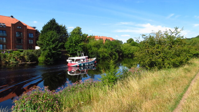
River Leven, North Yorkshire

The River Leven (pronounced ) in North Yorkshire, England is a tributary of the River Tees. It rises on Warren Moor, part of Kildale Moor, in the North...

Levendale

Levendale is a small housing estate in the south-east of Yarm, in North Yorkshire, England, which is bordered by the River Leven. It is also known as...

Arden Priory

Arden Priory was a priory near to Hawnby in the Ryedale district of North Yorkshire, England. A Benedictine nunnery has been recorded here since 1150 and...
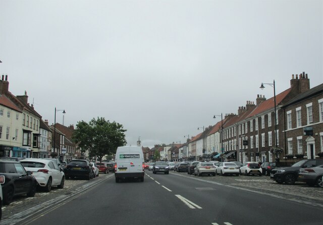
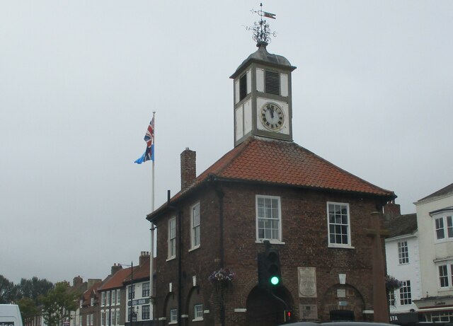
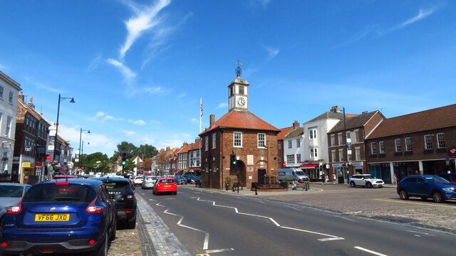
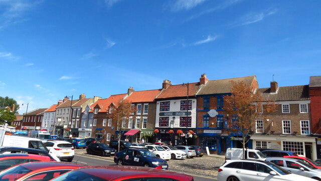
Yarm

Yarm, also referred to as Yarm-on-Tees, is a market town and civil parish in the Borough of Stockton-on-Tees, North Yorkshire, England. It is in Teesdale...

Nearby Amenities

Located within 500m of 54.5099,-1.3344
Traffic Calming: hump
Lat/Long: 54.5125301/-1.3310663
Traffic Calming: hump
Lat/Long: 54.5121478/-1.3316926
Traffic Calming: hump
Lat/Long: 54.5119469/-1.3309979
Traffic Calming: hump
Lat/Long: 54.5128446/-1.3310838
Traffic Calming: hump
Lat/Long: 54.5132347/-1.3307606
Traffic Calming: hump
Lat/Long: 54.5123767/-1.3290802
Round Hill
Archaeological Site: tumulus
Historic: archaeological_site
Lat/Long: 54.509817/-1.3347401
Power: pole
Lat/Long: 54.5087808/-1.3282329
Power: pole
Lat/Long: 54.5091643/-1.3296346
Power: pole
Lat/Long: 54.5095117/-1.3309044
Power: pole
Lat/Long: 54.5099146/-1.3323769
Power: pole
Lat/Long: 54.5102489/-1.3335989
Power: pole
Lat/Long: 54.5105626/-1.3347455
Power: pole
Lat/Long: 54.5113339/-1.3349185
Power: pole
Lat/Long: 54.512281/-1.3349189
Power: pole
Lat/Long: 54.513236/-1.3348935
Power: pole
Lat/Long: 54.5142437/-1.3348627
Traffic Calming: hump
Lat/Long: 54.5127971/-1.329449
Traffic Calming: hump
Lat/Long: 54.512685/-1.3304763
The data included in this document is from www.openstreetmap.org. The data is made available under ODbL.

Have you been to Round Hill?

Leave your review of Round Hill below (or comments, questions and feedback).