Round Hill

Heritage Site in Warwickshire Stratford-on-Avon

England

Round Hill

War Memorial, Butlers Marston
War Memorial, Butlers Marston Credit: AJD

Round Hill is a historic heritage site located in Warwickshire, England. Situated near the village of Alcester, Round Hill is an ancient earthwork enclosure that holds significant archaeological and historical importance.

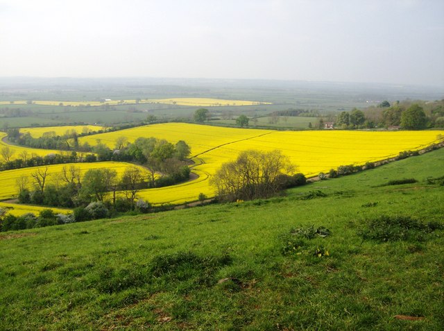
The site consists of a circular mound, measuring approximately 45 meters in diameter, with a surrounding ditch and bank. The mound itself stands at a height of around 4 meters, offering an impressive view of the surrounding landscape. It is believed to have been constructed during the Iron Age, making it over 2,000 years old.

Archaeological excavations have revealed evidence of occupation at Round Hill during both the Iron Age and Roman periods. Discoveries such as pottery fragments, coins, and building foundations have provided valuable insights into the site's past. It is thought that Round Hill may have served as a defended settlement or a ceremonial site during these periods.

Today, Round Hill is a popular destination for history enthusiasts and visitors interested in the region's ancient past. The site is easily accessible, with designated footpaths leading up to the mound. Visitors can explore the earthwork enclosure, taking in its impressive size and imagining the lives of the people who once inhabited it.

Round Hill's historical significance and well-preserved earthworks make it an important heritage site in Warwickshire. It offers a unique opportunity to experience a tangible connection to the area's ancient past and provides a fascinating insight into the region's rich archaeological heritage.

If you have any feedback on the listing, please let us know in the comments section below.
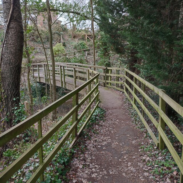
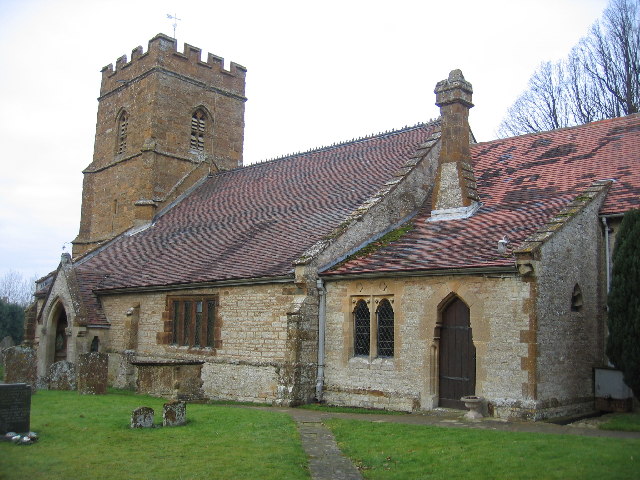
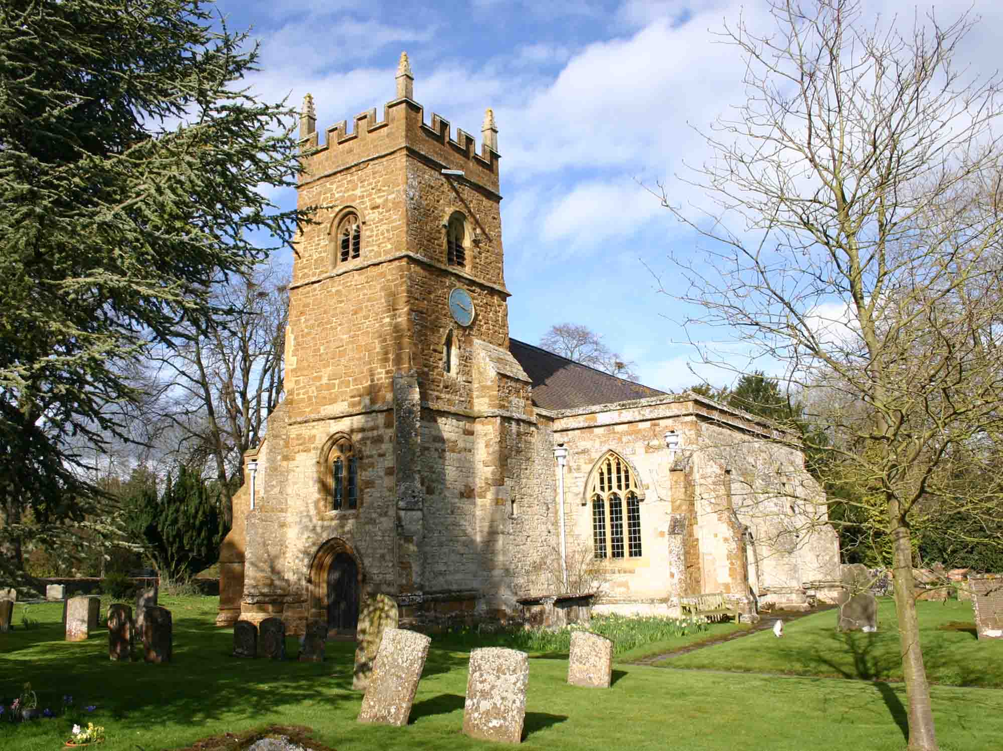
Round Hill Images

Images are sourced within 2km of 52.142/-1.54 or Grid Reference SP3149. Thanks to Geograph Open Source API. All images are credited.

War Memorial, Butlers Marston
Pillerton Hersey Ford
Footbridge over stream at Butler Marston
Butlers Marston Cottages on Bridge Road.
Butlers Marston
Cottages on Bridge Road.
Butlers Marston-The Old Garage On Bridge Road.
Butlers Marston-The Old Garage
On Bridge Road.
A Barn in a Field
A Barn in a Field
Two Footpaths Just two of many. The villages of Combrook and Butlers Marston are only a couple of kms apart, but you could walk between them on a different path every day of the week.
Two Footpaths
Just two of many. The villages of Combrook and Butlers Marston are only a couple of kms apart, but you could walk between them on a different path every day of the week.
Bank Close Butlers Marston This is the main street of the village and it does not lead anywhere except the village. The old buildings on the right are part of College Farm.
Bank Close Butlers Marston
This is the main street of the village and it does not lead anywhere except the village. The old buildings on the right are part of College Farm.
Driveway to Tubs End Farm Tubs end farm is a family run agricultural contracting business. The sign on the drive says:-
Cars Only 
All Other 
Vehicles to use
back Drive
Driveway to Tubs End Farm
Tubs end farm is a family run agricultural contracting business. The sign on the drive says:- Cars Only All Other Vehicles to use back Drive
Little Kineton Unexpected snowfall in Little Kineton - looking towards the duck pond.
Little Kineton
Unexpected snowfall in Little Kineton - looking towards the duck pond.
Footbridge over the River Dene
Bend in the River Dene
Little Kineton post box The photograph looks like a black and white one, but it was such a grey washed out day that the red of the post box is the only hint that that photograph was really taken in colour.
Little Kineton post box
The photograph looks like a black and white one, but it was such a grey washed out day that the red of the post box is the only hint that that photograph was really taken in colour.
Pillerton Hersey ford Taken 24-04-2005 on the day after the Cyclists' Touring Club's National Dinner
Pillerton Hersey ford
Taken 24-04-2005 on the day after the Cyclists' Touring Club's National Dinner
St Peter and St Paul's Church, Butlers Marston In common with some other local villages, this church is dedicated to two Saints.
St Peter and St Paul's Church, Butlers Marston
In common with some other local villages, this church is dedicated to two Saints.
Butlers Marston old school This old school building, in the "V" between the roads entering the village from the west, is currently being converted for residential use.
Butlers Marston old school
This old school building, in the "V" between the roads entering the village from the west, is currently being converted for residential use.
Row of cottages, Butlers Marston This row of cottages is at the road junction on the west of the village, and near the northern edge of the square.  They may not be as old as they first appear as a well work stone on the building behind the van bears the date 1913.
Row of cottages, Butlers Marston
This row of cottages is at the road junction on the west of the village, and near the northern edge of the square. They may not be as old as they first appear as a well work stone on the building behind the van bears the date 1913.
Oxhill Bridle Road This lane from Pillerton Hersey still eventually leads towards Oxhill as a track but its significance seems to have greatly diminished from that implied by the slightly grand name.
Oxhill Bridle Road
This lane from Pillerton Hersey still eventually leads towards Oxhill as a track but its significance seems to have greatly diminished from that implied by the slightly grand name.
Show me another place!

Round Hill is located at Grid Ref: SP3149 (Lat: 52.142, Lng: -1.54)

Administrative County: Warwickshire

District: Stratford-on-Avon

Police Authority: Warwickshire

What 3 Words

///expecting.corner.simple. Near Gaydon, Warwickshire

Nearby Locations

Round Hill Butlers Marston

Related Wikis

Butlers Marston

Butlers Marston is a village and civil parish on the River Dene in south-eastern Warwickshire, England. The village is part of Stratford-on-Avon district...

Combrook

Combrook (also spelt Combroke and - more rarely - Combrooke) is a small village of about 65 houses in rural Warwickshire, located near the junction of...

Pillerton Hersey

Pillerton Hersey is a village and civil parish about 5.5 miles (9 km) north of Shipston-on-Stour in Warwickshire, England. The village is on a stream that...

Vale of Red Horse

The Vale of Red Horse, also called the Vale of the Red Horse or Red Horse Vale, is a rural district in southern Warwickshire, England, lying between the...

Nearby Amenities

Located within 500m of 52.142,-1.54
Power: pole
Source: Warwicks CC Aerial Imagery 2013
Lat/Long: 52.1461932/-1.5395021
Power: pole
Source: Warwicks CC Aerial Imagery 2013
Lat/Long: 52.1457611/-1.5389831
Power: pole
Source: Warwicks CC Aerial Imagery 2013
Lat/Long: 52.1440127/-1.5369554
Power: pole
Source: Warwicks CC Aerial Imagery 2013
Lat/Long: 52.1445085/-1.5375267
Power: pole
Source: Warwicks CC Aerial Imagery 2013
Lat/Long: 52.1449283/-1.5380108
Power: pole
Source: Warwicks CC Aerial Imagery 2013
Lat/Long: 52.1453455/-1.5385097
Power: pole
Source: b
Lat/Long: 52.1423991/-1.5353608
Power: pole
Source: b
Lat/Long: 52.1428847/-1.5357886
Power: pole
Source: Warwicks CC Aerial Imagery 2013
Lat/Long: 52.1434822/-1.5363318
Power: pole
Source: bing
Lat/Long: 52.1405851/-1.5337394
Power: pole
Ref: 770034
Source: wpd_opendata
Transformer: distribution
Lat/Long: 52.1412115/-1.5342879
Power: pole
Source: b
Lat/Long: 52.1418469/-1.5348338
Power: pole
Source: bing
Lat/Long: 52.1417374/-1.5465644
Power: pole
Source: bing
Lat/Long: 52.1422329/-1.5455049
Power: pole
Source: bing
Lat/Long: 52.1427481/-1.544432
Power: pole
Source: bing
Lat/Long: 52.1432567/-1.5433189
Power: pole
Source: bing
Lat/Long: 52.1436962/-1.5423775
Power: pole
Source: bing
Lat/Long: 52.1440847/-1.5415648
Power: pole
Source: bing
Lat/Long: 52.1444698/-1.540736
Power: pole
Source: bing
Lat/Long: 52.1449373/-1.5395772
The data included in this document is from www.openstreetmap.org. The data is made available under ODbL.

Have you been to Round Hill?

Leave your review of Round Hill below (or comments, questions and feedback).