Round Hill
Hill, Mountain in Somerset Sedgemoor
England
Round Hill
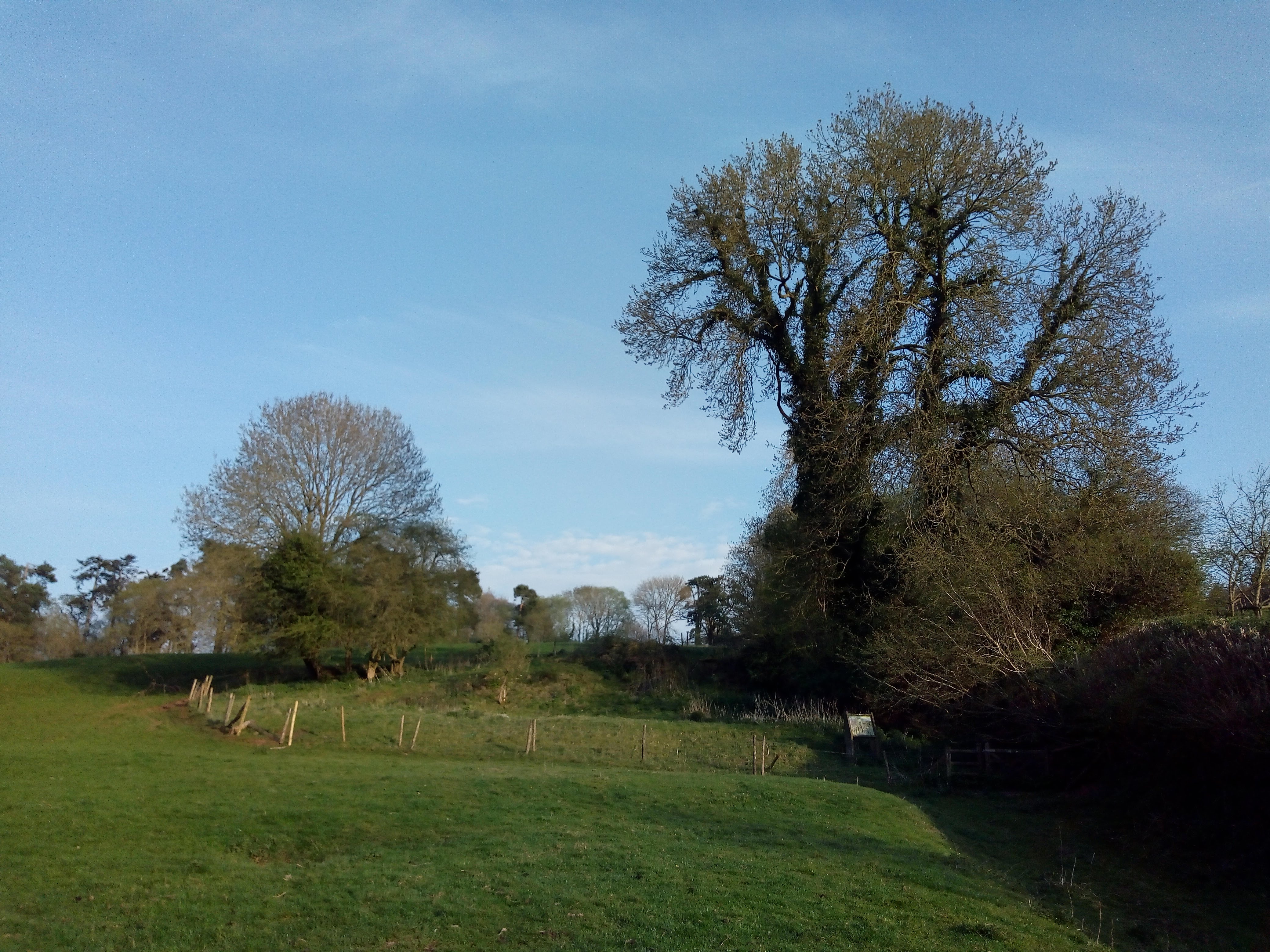
Round Hill is a prominent hill located in the county of Somerset in southwest England. Standing at an elevation of 1,062 feet (324 meters), it is one of the highest points in the county and offers panoramic views of the surrounding countryside. The hill is situated near the village of West Quantoxhead, within the Quantock Hills Area of Outstanding Natural Beauty.
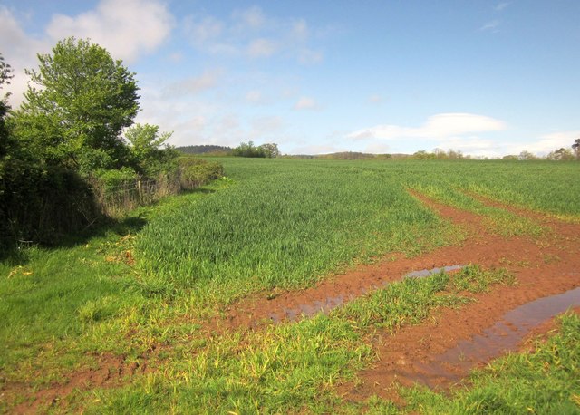
Round Hill is characterized by its gently sloping sides, which are covered in lush green grass and scattered with boulders. The summit of the hill is rounded, hence its name, and offers a great vantage point to admire the stunning landscapes of Somerset. On clear days, it is possible to see as far as the Bristol Channel and the distant hills of South Wales.
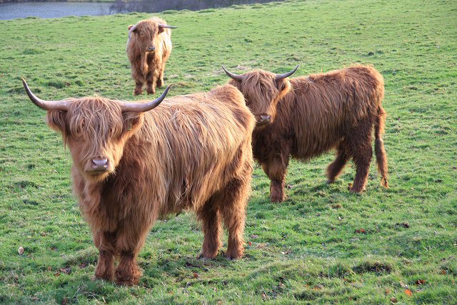
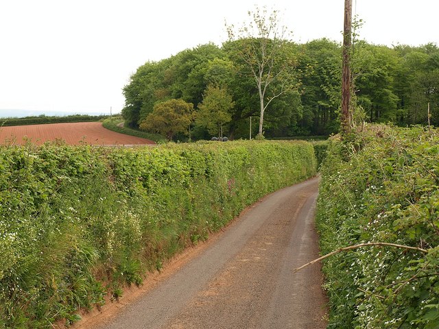
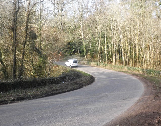
The hill is a popular destination for outdoor enthusiasts, offering a range of activities such as hiking, walking, and birdwatching. Several footpaths and trails crisscross the area, allowing visitors to explore the natural beauty of the Quantock Hills. The diverse flora and fauna found on Round Hill include heather, gorse, and various species of birds and butterflies.
Round Hill also holds historical significance, with evidence of ancient settlements and burial mounds dating back to the Bronze Age. These archaeological features add an extra layer of fascination to the hill, attracting history enthusiasts and researchers alike.
Overall, Round Hill in Somerset is a captivating natural landmark that offers both stunning views and a rich history. It is a haven for nature lovers and a perfect spot to immerse oneself in the beauty of the English countryside.
If you have any feedback on the listing, please let us know in the comments section below.
Round Hill Images
Images are sourced within 2km of 51.122726/-3.1635216 or Grid Reference ST1836. Thanks to Geograph Open Source API. All images are credited.


Round Hill is located at Grid Ref: ST1836 (Lat: 51.122726, Lng: -3.1635216)
Administrative County: Somerset
District: Sedgemoor
Police Authority: Avon and Somerset
What 3 Words
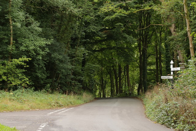
///skills.unclaimed.undertone. Near Nether Stowey, Somerset
Nearby Locations
Related Wikis

Plainsfield Camp
Plainsfield Camp (or Park Plantation or Cockercombe Castle) is a possible Iron Age earthwork on the Quantock Hills near Aisholt in Somerset, England.The...

Quantock Lodge
Quantock Lodge is a grade II listed nineteenth-century Gothic revival mansion built by Henry Labouchere, 1st Baron Taunton (1798–1869), to the design of...
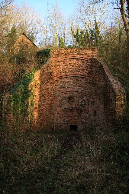
Adscombe Chapel
Adscombe Chapel: The site and remains of a medieval chapel, located 280 metres (920 ft) east of Adscombe Farm in Somerset, UK, situated on the north-west...
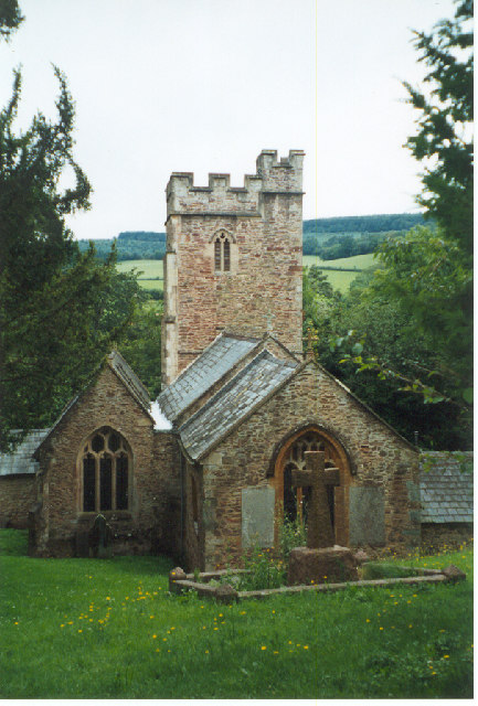
Church of All Saints, Aisholt
All Saints Church in Aisholt, Somerset, England, is the Anglican parish church for the ancient parish of Aisholt, now part of the Quantock Villages Benefice...

William Holland (diarist)
William Holland (9 May 1746 – 17 April 1819) is now best remembered for his diary, which he kept from 1799 to 1818. == Diary == The diary chronicles his...
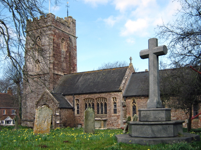
Church of St Peter and St Paul, Over Stowey
Church Of St Peter And St Paul in Over Stowey, Somerset, England, is the Anglican parish church for the ancient parish of Over Stowey, now part of the...

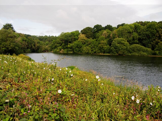
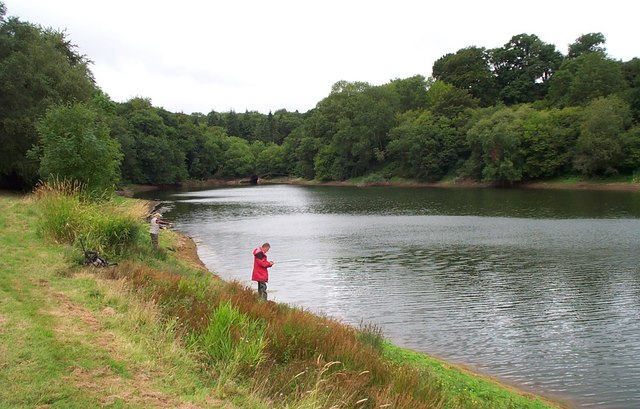
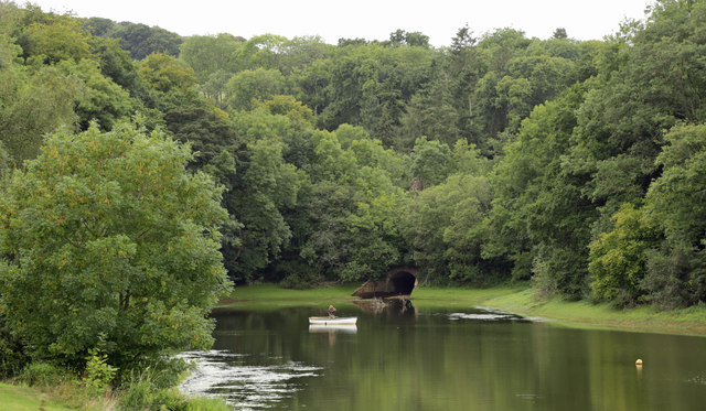
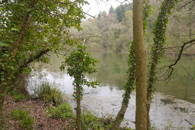
Hawkridge Reservoir
Hawkridge Reservoir is a reservoir near Spaxton, Somerset, England. The inflow is from several streams in the Quantock Hills Area of Outstanding Natural...

Wills Neck
Wills Neck is the highest summit on the Quantock Hills and one of the highest points in Somerset, England. Although only 1261 ft (384 m) high, it qualifies...
Nearby Amenities
Located within 500m of 51.122726,-3.1635216Have you been to Round Hill?
Leave your review of Round Hill below (or comments, questions and feedback).