Round Hills

Heritage Site in Lincolnshire South Kesteven

England

Round Hills

I hate some folk Look at this catering rubbish dumped on private land with no thought at all.
I hate some folk Credit: Bob Harvey

Round Hills is a historic site located in the county of Lincolnshire, England. It is a designated heritage site due to its cultural and historical significance. Situated near the village of Sleaford, Round Hills is a group of Bronze Age burial mounds, also known as barrows, dating back to around 2000-700 BC.

The site consists of six well-preserved round barrows, which are circular mounds of earth and stones. These barrows were constructed as burial places for important individuals in the Bronze Age community. The mounds vary in size, with the largest reaching a diameter of approximately 30 meters.

Excavations conducted at Round Hills have uncovered a wealth of artifacts and remains, shedding light on the lives and burial customs of the Bronze Age people. These discoveries include pottery, flint tools, and human remains, providing valuable insights into the material culture and social practices of the time.

Round Hills is not only significant for its archaeological value but also for its scenic and natural beauty. The site is surrounded by picturesque countryside, offering visitors a tranquil and idyllic setting. It attracts history enthusiasts, archaeologists, and nature lovers alike.

As a protected heritage site, Round Hills is managed and maintained by local authorities in collaboration with heritage organizations. The site is open to the public, allowing visitors to explore the ancient landscape, learn about its history, and appreciate the importance of preserving our cultural heritage.

If you have any feedback on the listing, please let us know in the comments section below.
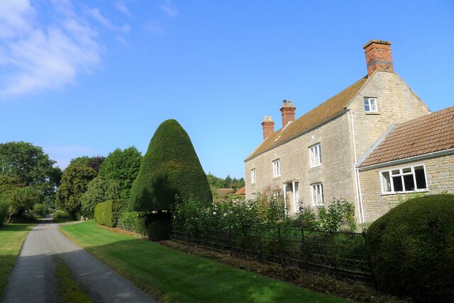
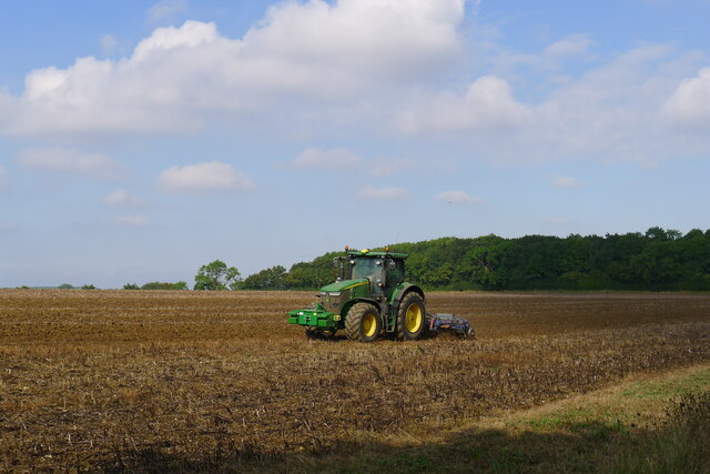
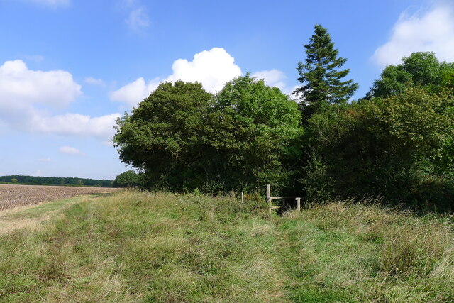
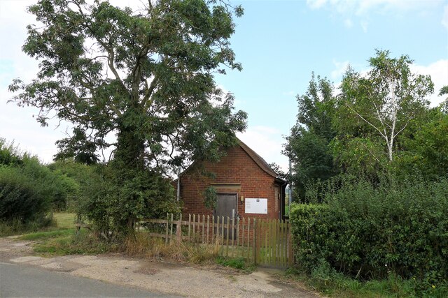
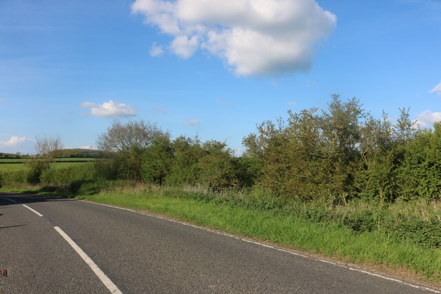
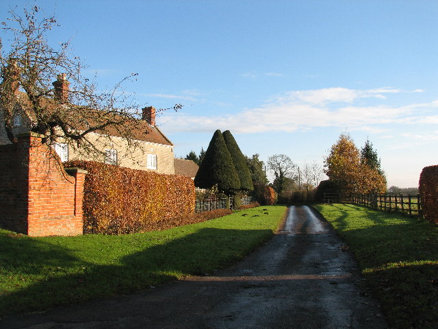
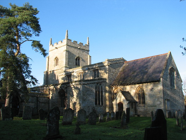
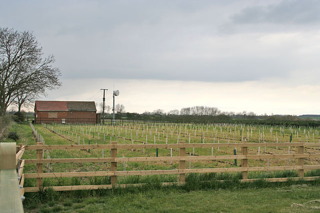
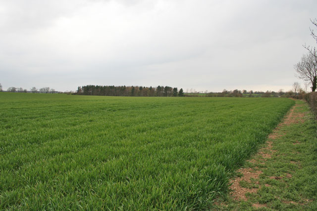
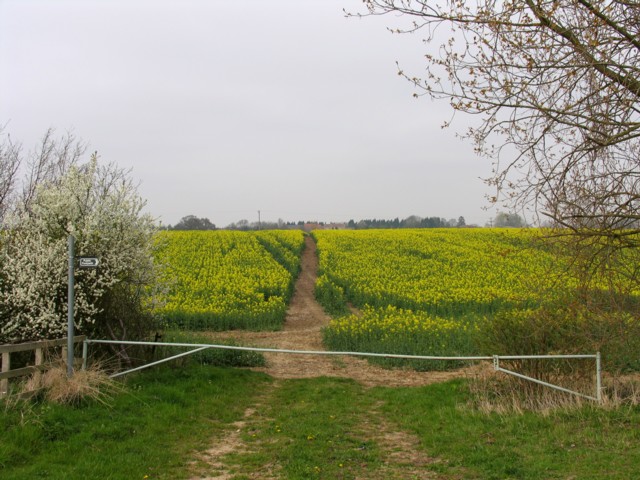
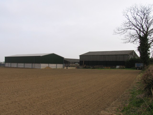
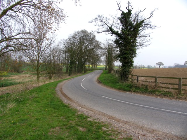
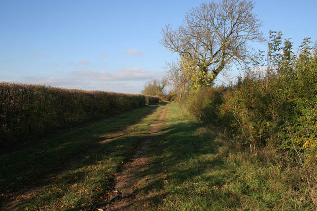
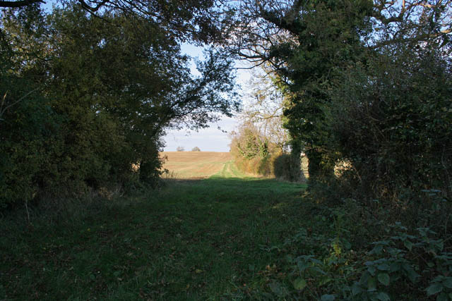
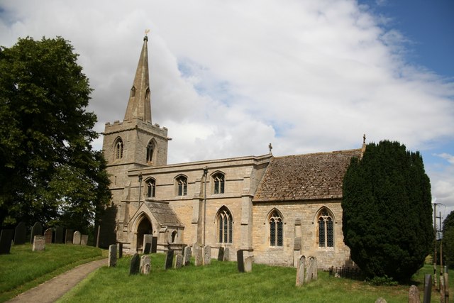
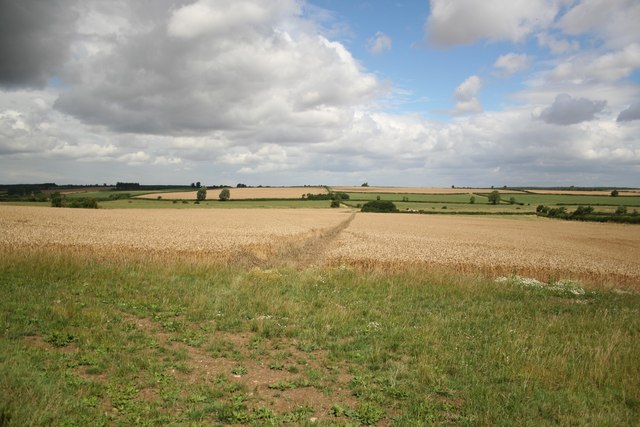
Round Hills Images

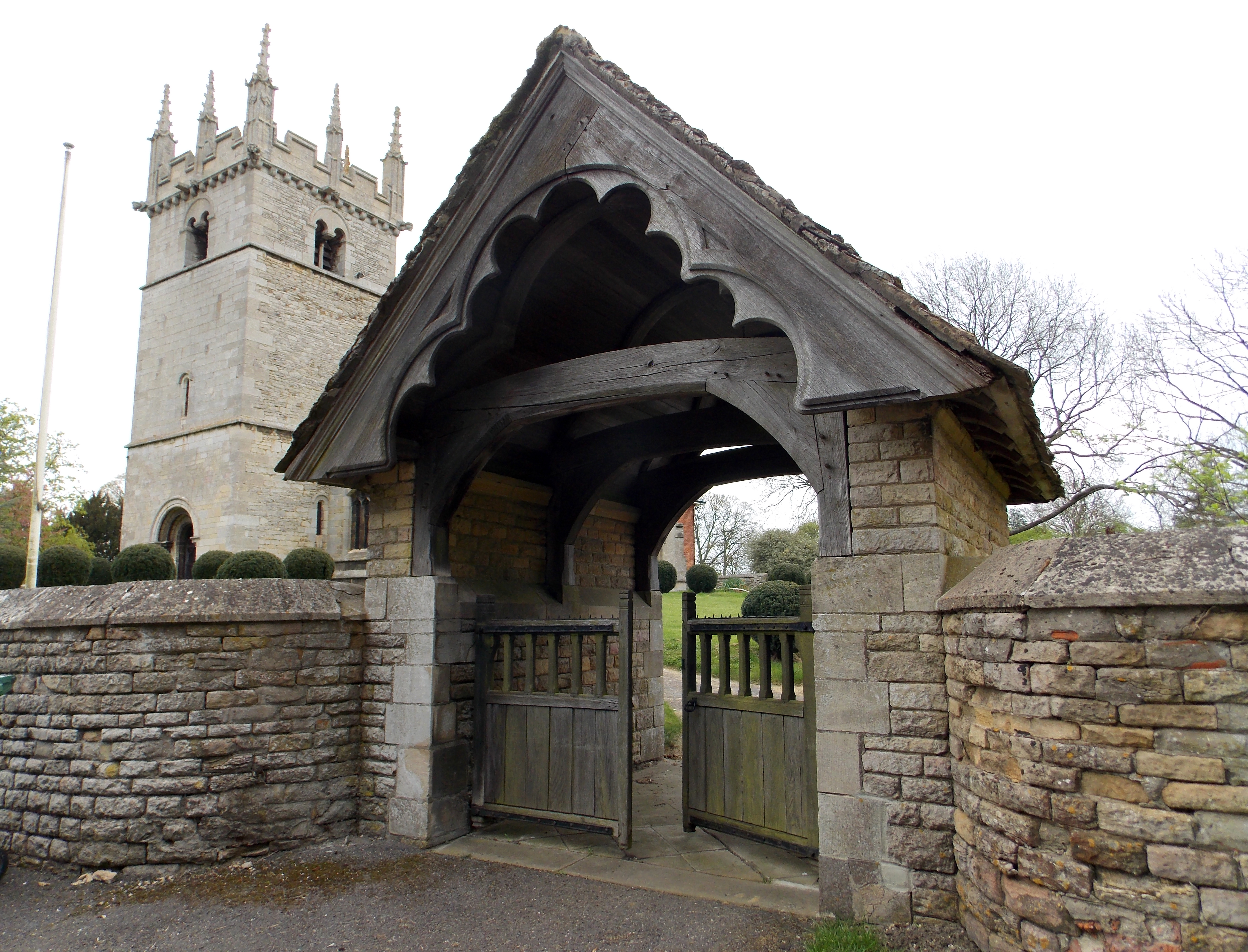
Images are sourced within 2km of 52.862/-0.522 or Grid Reference SK9930. Thanks to Geograph Open Source API. All images are credited.

I hate some folk Look at this catering rubbish dumped on private land with no thought at all.
I hate some folk
Look at this catering rubbish dumped on private land with no thought at all.
Entering Ingoldsby on Main Street Ingoldsby =  ‘Farmstead or village of a man called Ingjaldr’ <span class="nowrap"><a title="https://www.oxfordreference.com/view/10.1093/acref/9780199609086.001.0001/acref-9780199609086" rel="nofollow ugc noopener" href="https://www.oxfordreference.com/view/10.1093/acref/9780199609086.001.0001/acref-9780199609086">Link</a><img style="margin-left:2px;" alt="External link" title="External link - shift click to open in new window" src="https://s1.geograph.org.uk/img/external.png" width="10" height="10"/></span>
Entering Ingoldsby on Main Street
Ingoldsby = ‘Farmstead or village of a man called Ingjaldr’ LinkExternal link
The Old Heathcote Arms, Ingoldsby Originally built as farmer's cottages. It was converted to a pub by a member of the Heathcote family about 1811; then became an Everards pub; closed (when?), leaving the village 'dry'; and now produces honey <span class="nowrap"><a title="https://theheathcotearms.co.uk/history" rel="nofollow ugc noopener" href="https://theheathcotearms.co.uk/history">Link</a><img style="margin-left:2px;" alt="External link" title="External link - shift click to open in new window" src="https://s1.geograph.org.uk/img/external.png" width="10" height="10"/></span> <span class="nowrap"><a title="https://www.heathcotehoney.co.uk/" rel="nofollow ugc noopener" href="https://www.heathcotehoney.co.uk/">Link</a><img style="margin-left:2px;" alt="External link" title="External link - shift click to open in new window" src="https://s1.geograph.org.uk/img/external.png" width="10" height="10"/></span>
The Old Heathcote Arms, Ingoldsby
Originally built as farmer's cottages. It was converted to a pub by a member of the Heathcote family about 1811; then became an Everards pub; closed (when?), leaving the village 'dry'; and now produces honey LinkExternal link LinkExternal link
Entrance to Scotland Lane, Ingoldsby A No Through Road leading to the hamlet of Scotland.
Entrance to Scotland Lane, Ingoldsby
A No Through Road leading to the hamlet of Scotland.
Scotland House, Scotland Lane, Scotland Listed Grade II "House: c.1700 with mid C19 alterations" <span class="nowrap"><a title="https://historicengland.org.uk/listing/the-list/list-entry/1261912" rel="nofollow ugc noopener" href="https://historicengland.org.uk/listing/the-list/list-entry/1261912">Link</a><img style="margin-left:2px;" alt="External link" title="External link - shift click to open in new window" src="https://s1.geograph.org.uk/img/external.png" width="10" height="10"/></span>
Scotland House, Scotland Lane, Scotland
Listed Grade II "House: c.1700 with mid C19 alterations" LinkExternal link
Harrowing field next to Ingoldsby Wood The productive farmland of the Kesteven Uplands
Harrowing field next to Ingoldsby Wood
The productive farmland of the Kesteven Uplands
Bridleway approaching Ingoldsby Wood The Danelaw Way one third of its distance from Stamford to Lincoln.
Bridleway approaching Ingoldsby Wood
The Danelaw Way one third of its distance from Stamford to Lincoln.
Ingoldsby telephone exchange on Humby Road Network ID: EMINGOL, <span class="nowrap"><a title="https://telephone-exchange.co.uk/Ingoldsby-EMINGOL.html" rel="nofollow ugc noopener" href="https://telephone-exchange.co.uk/Ingoldsby-EMINGOL.html">Link</a><img style="margin-left:2px;" alt="External link" title="External link - shift click to open in new window" src="https://s1.geograph.org.uk/img/external.png" width="10" height="10"/></span>
Ingoldsby telephone exchange on Humby Road
Network ID: EMINGOL, LinkExternal link
The B1176, Bitchfield
Cottages, Scotland Lane, Ingoldsby.
Saint Bartholomew's Church, Ingoldsby
Humby Telephone Exchange Looking north from the entrance to Stadium Lodge. There are lots of new trees planted as "whips" along the road here; note the solid guards to protect against rabbits and voles, both of whom are partial to young bark.
Humby Telephone Exchange
Looking north from the entrance to Stadium Lodge. There are lots of new trees planted as "whips" along the road here; note the solid guards to protect against rabbits and voles, both of whom are partial to young bark.
Farmland near Humby, Lincolnshire Looking from the Ingoldsby road towards Great Humby.
Farmland near Humby, Lincolnshire
Looking from the Ingoldsby road towards Great Humby.
Footpath to Scotland Scotland Lane and Scotland House are at the other end of this footpath.
Footpath to Scotland
Scotland Lane and Scotland House are at the other end of this footpath.
Buildings at Ingoldsby Grange
Road to Ingoldsby
Road to Ingoldsby
Farm track near Ingoldsby According to the Phillips Street Atlas this is a public footpath but it isn't marked as such on the OS maps. The farmer who was cutting the hedge said that he didn't know either way and didn't mind people walking along the track.
Farm track near Ingoldsby
According to the Phillips Street Atlas this is a public footpath but it isn't marked as such on the OS maps. The farmer who was cutting the hedge said that he didn't know either way and didn't mind people walking along the track.
Footpath near Ingoldsby The farm track in <a title="https://www.geograph.org.uk/photo/600088" href="https://www.geograph.org.uk/photo/600088">Link</a> disappears into an overgrown path. Here is the end of the path with the open fields beyond.
Footpath near Ingoldsby
The farm track in Link disappears into an overgrown path. Here is the end of the path with the open fields beyond.
Show me another place!

Round Hills is located at Grid Ref: SK9930 (Lat: 52.862, Lng: -0.522)

Division: Parts of Kesteven

Administrative County: Lincolnshire

District: South Kesteven

Police Authority: Lincolnshire

What 3 Words

///marshes.softest.shoulders. Near Corby Glen, Lincolnshire

Related Wikis

Ingoldsby

Ingoldsby is a small village in the South Kesteven district of Lincolnshire, England. It is situated 7 miles (11 km) south-east from the market town of...

Bitchfield

Bitchfield is a village in the civil parish of Bitchfield and Bassingthorpe, in the South Kesteven district of Lincolnshire, England. It consists of two...

Bitchfield and Bassingthorpe

Bitchfield and Bassingthorpe is a civil parish which includes Boothby Pagnell and Burton Coggles in the South Kesteven district of Lincolnshire, England...

Boothby Pagnell

Boothby Pagnell is a village and civil parish in the South Kesteven district of Lincolnshire, England. The population is now included in the civil parish...

Nearby Amenities

Located within 500m of 52.862,-0.522
Moat Farm
Place: farm
Source: Bing
Lat/Long: 52.8609206/-0.5218757
Red Hill
Place: locality
Source: Bing
Lat/Long: 52.8662743/-0.5218197
Archaeological Site: fortification
Historic: archaeological_site
Source: Bing
Lat/Long: 52.8603755/-0.5208322
Woodleigh Cottages
Place: isolated_dwelling
Lat/Long: 52.8592938/-0.5206607
The data included in this document is from www.openstreetmap.org. The data is made available under ODbL.

Have you been to Round Hills ?

Leave your review of Round Hills below (or comments, questions and feedback).