Red Hill

Hill, Mountain in Lincolnshire South Kesteven

England

Red Hill

I hate some folk Look at this catering rubbish dumped on private land with no thought at all.
I hate some folk Credit: Bob Harvey

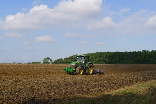
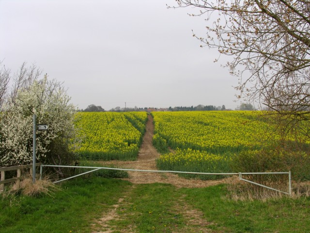
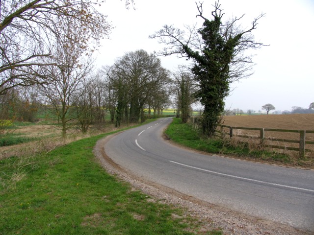
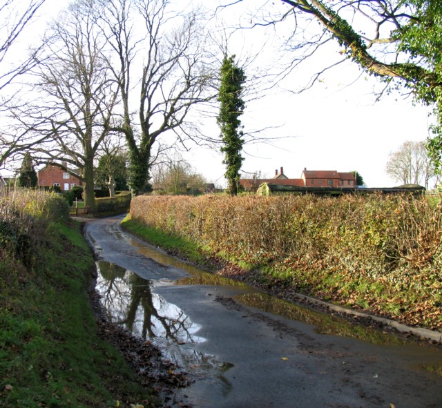
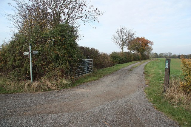
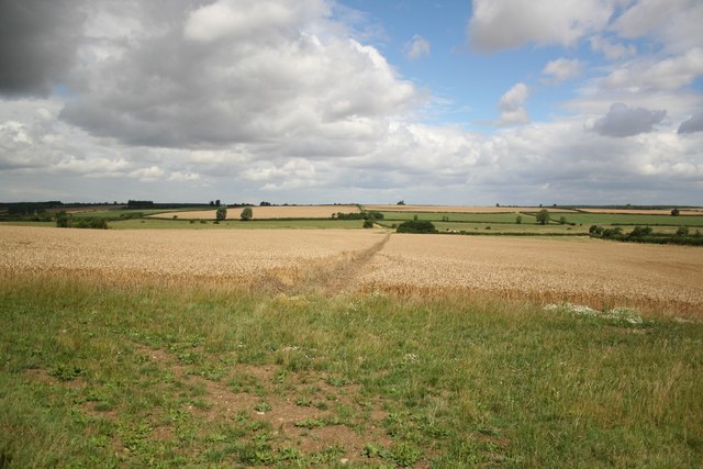
Red Hill, located in Lincolnshire, is a notable hill that stands apart from the generally flat landscape of the county. Rising to an elevation of approximately 197 feet (60 meters), it offers picturesque views of the surrounding countryside. Situated near the village of Goulceby, Red Hill is a prominent geographical feature in the area.

The hill itself is characterized by its distinctive reddish-brown soil, which gives it its name. This unique soil composition is due to the presence of iron oxide, a mineral that imparts the reddish color. Red Hill's soil is known for its fertility, making it suitable for agricultural purposes.

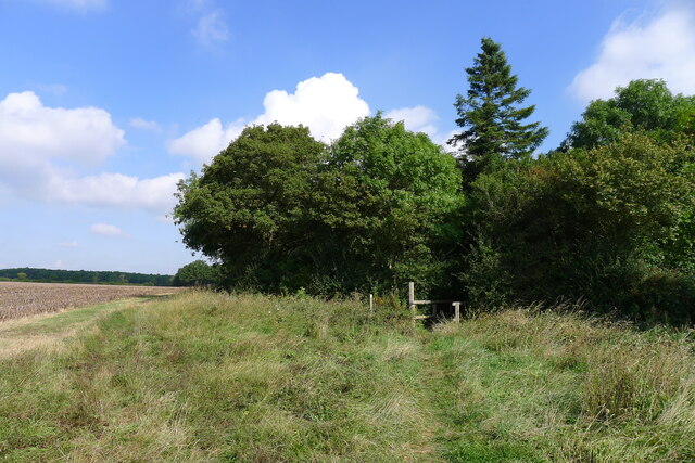
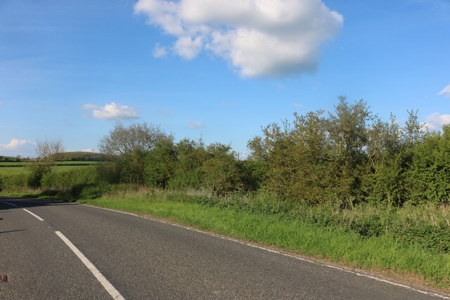
The hill is covered with a variety of vegetation, including grasses, shrubs, and scattered trees. This diverse flora provides a habitat for numerous bird species and small mammals. It is also a popular spot for nature enthusiasts who enjoy hiking and exploring the area.

Red Hill holds historical significance as it is believed to have been a site of human activity for centuries. Archaeological evidence suggests that it was utilized during the Iron Age and Roman period. Additionally, there are remnants of a medieval settlement nearby, further emphasizing the area's historical importance.

In recent years, Red Hill has become a popular destination for tourists and locals alike. Its natural beauty, combined with its historical significance, makes it an appealing place to visit for those seeking tranquility, scenic views, and a glimpse into Lincolnshire's past.

If you have any feedback on the listing, please let us know in the comments section below.
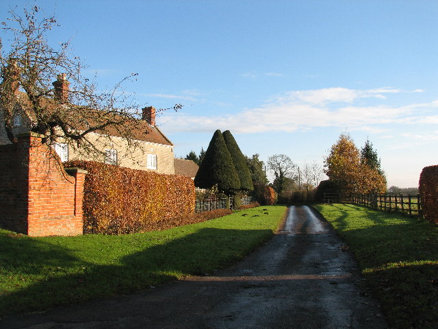
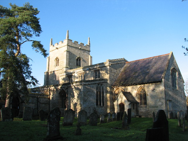
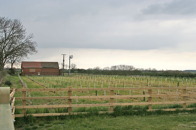
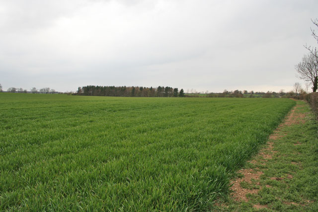
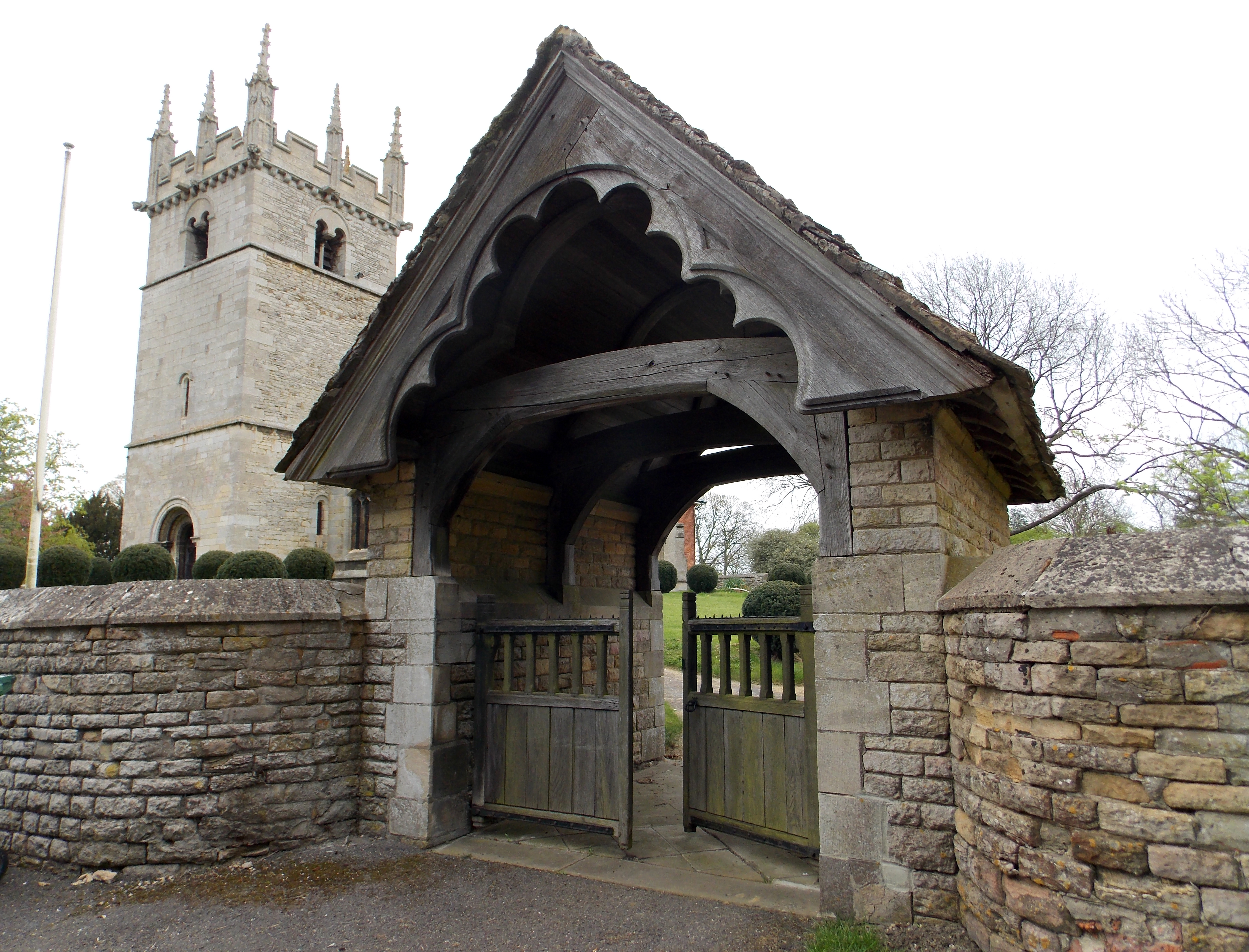
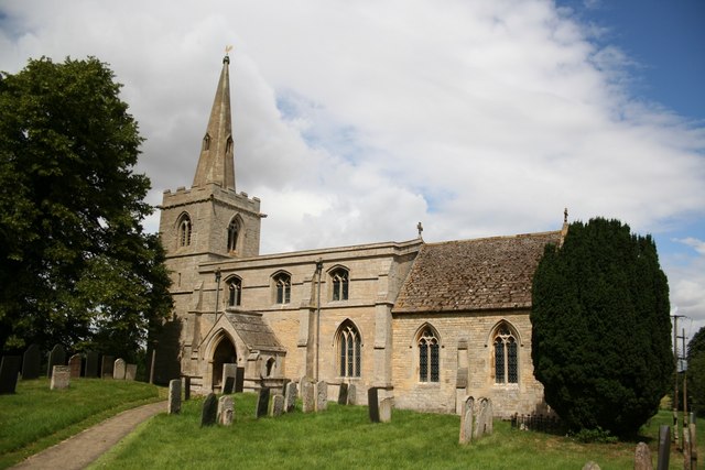
Red Hill Images

Images are sourced within 2km of 52.865507/-0.52803466 or Grid Reference SK9930. Thanks to Geograph Open Source API. All images are credited.

I hate some folk Look at this catering rubbish dumped on private land with no thought at all.
I hate some folk
Look at this catering rubbish dumped on private land with no thought at all.
The Old Heathcote Arms, Ingoldsby Originally built as farmer's cottages. It was converted to a pub by a member of the Heathcote family about 1811; then became an Everards pub; closed (when?), leaving the village 'dry'; and now produces honey <span class="nowrap"><a title="https://theheathcotearms.co.uk/history" rel="nofollow ugc noopener" href="https://theheathcotearms.co.uk/history">Link</a><img style="margin-left:2px;" alt="External link" title="External link - shift click to open in new window" src="https://s1.geograph.org.uk/img/external.png" width="10" height="10"/></span> <span class="nowrap"><a title="https://www.heathcotehoney.co.uk/" rel="nofollow ugc noopener" href="https://www.heathcotehoney.co.uk/">Link</a><img style="margin-left:2px;" alt="External link" title="External link - shift click to open in new window" src="https://s1.geograph.org.uk/img/external.png" width="10" height="10"/></span>
The Old Heathcote Arms, Ingoldsby
Originally built as farmer's cottages. It was converted to a pub by a member of the Heathcote family about 1811; then became an Everards pub; closed (when?), leaving the village 'dry'; and now produces honey LinkExternal link LinkExternal link
Entrance to Scotland Lane, Ingoldsby A No Through Road leading to the hamlet of Scotland.
Entrance to Scotland Lane, Ingoldsby
A No Through Road leading to the hamlet of Scotland.
Scotland House, Scotland Lane, Scotland Listed Grade II "House: c.1700 with mid C19 alterations" <span class="nowrap"><a title="https://historicengland.org.uk/listing/the-list/list-entry/1261912" rel="nofollow ugc noopener" href="https://historicengland.org.uk/listing/the-list/list-entry/1261912">Link</a><img style="margin-left:2px;" alt="External link" title="External link - shift click to open in new window" src="https://s1.geograph.org.uk/img/external.png" width="10" height="10"/></span>
Scotland House, Scotland Lane, Scotland
Listed Grade II "House: c.1700 with mid C19 alterations" LinkExternal link
Harrowing field next to Ingoldsby Wood The productive farmland of the Kesteven Uplands
Harrowing field next to Ingoldsby Wood
The productive farmland of the Kesteven Uplands
Bridleway approaching Ingoldsby Wood The Danelaw Way one third of its distance from Stamford to Lincoln.
Bridleway approaching Ingoldsby Wood
The Danelaw Way one third of its distance from Stamford to Lincoln.
Ingoldsby telephone exchange on Humby Road Network ID: EMINGOL, <span class="nowrap"><a title="https://telephone-exchange.co.uk/Ingoldsby-EMINGOL.html" rel="nofollow ugc noopener" href="https://telephone-exchange.co.uk/Ingoldsby-EMINGOL.html">Link</a><img style="margin-left:2px;" alt="External link" title="External link - shift click to open in new window" src="https://s1.geograph.org.uk/img/external.png" width="10" height="10"/></span>
Ingoldsby telephone exchange on Humby Road
Network ID: EMINGOL, LinkExternal link
The B1176, Bitchfield
Cottages, Scotland Lane, Ingoldsby.
Saint Bartholomew's Church, Ingoldsby
Humby Telephone Exchange Looking north from the entrance to Stadium Lodge. There are lots of new trees planted as "whips" along the road here; note the solid guards to protect against rabbits and voles, both of whom are partial to young bark.
Humby Telephone Exchange
Looking north from the entrance to Stadium Lodge. There are lots of new trees planted as "whips" along the road here; note the solid guards to protect against rabbits and voles, both of whom are partial to young bark.
Farmland near Humby, Lincolnshire Looking from the Ingoldsby road towards Great Humby.
Farmland near Humby, Lincolnshire
Looking from the Ingoldsby road towards Great Humby.
Footpath to Scotland Scotland Lane and Scotland House are at the other end of this footpath.
Footpath to Scotland
Scotland Lane and Scotland House are at the other end of this footpath.
Road to Ingoldsby
Road to Ingoldsby
Postbox number NG33 137 at Ingoldsby Scotland Lane
Scotland Lane
Scotland Lane
Grantham Road
Grantham Road
To The Ark Lane and public footpath from Ingoldsby to a farm called The Ark
To The Ark
Lane and public footpath from Ingoldsby to a farm called The Ark
Show me another place!

Red Hill is located at Grid Ref: SK9930 (Lat: 52.865507, Lng: -0.52803466)

Administrative County: Lincolnshire

District: South Kesteven

Police Authority: Lincolnshire

What 3 Words

///upset.relocated.coverings. Near Corby Glen, Lincolnshire

Related Wikis

Ingoldsby

Ingoldsby is a small village in the South Kesteven district of Lincolnshire, England. It is situated 7 miles (11 km) south-east from the market town of...

Boothby Pagnell

Boothby Pagnell is a village and civil parish in the South Kesteven district of Lincolnshire, England. The population is now included in the civil parish...

Bitchfield

Bitchfield is a village in the civil parish of Bitchfield and Bassingthorpe, in the South Kesteven district of Lincolnshire, England. It consists of two...

Bitchfield and Bassingthorpe

Bitchfield and Bassingthorpe is a civil parish which includes Boothby Pagnell and Burton Coggles in the South Kesteven district of Lincolnshire, England...

Nearby Amenities

Located within 500m of 52.865507,-0.52803466
Red Hill
Place: locality
Source: Bing
Lat/Long: 52.8662743/-0.5218197
Historic: archaeological_site
Source: Bing
Lat/Long: 52.8654175/-0.5281165
The data included in this document is from www.openstreetmap.org. The data is made available under ODbL.

Have you been to Red Hill?

Leave your review of Red Hill below (or comments, questions and feedback).