Julian's Bower

Heritage Site in Lincolnshire

England

Julian's Bower

Walcot Road A double line of pylons crosses over the road just ahead.
Walcot Road Credit: Marathon

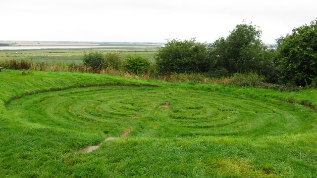
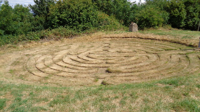
Julian's Bower, located in Alkborough, Lincolnshire, is a historic and intriguing site that holds great significance and mystery. This heritage site consists of an intricate turf maze, believed to be one of the oldest of its kind in England. The exact origins of Julian's Bower are unknown, with some theories dating it back to the medieval period.

The maze itself is circular in shape and consists of a series of winding paths that lead to a central point. The paths are formed by raised earth banks, and the maze covers an area of around 40 meters in diameter. The design of the maze is believed to be symbolic, representing a spiritual journey or a pilgrimage.

Visitors to Julian's Bower can explore the maze, attempting to navigate its complex pathways. It provides a unique and challenging experience, as the paths twist and turn, often leading the visitor in circles. Many visitors report feelings of intrigue and fascination when walking through the maze, captivated by its mysterious history.

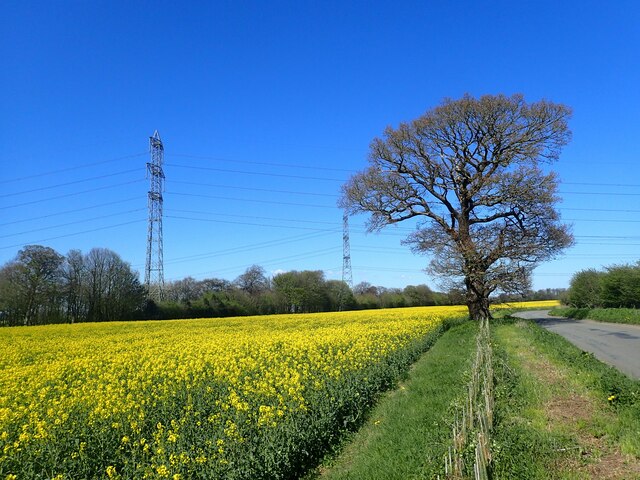
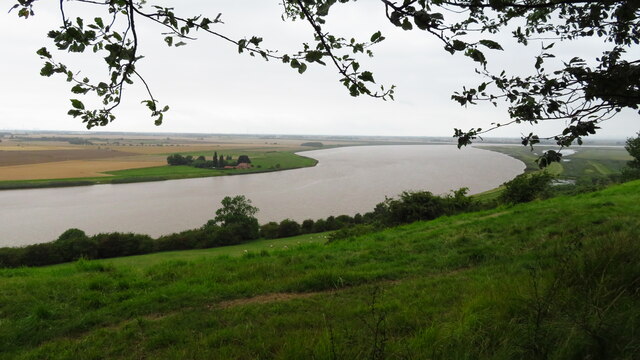
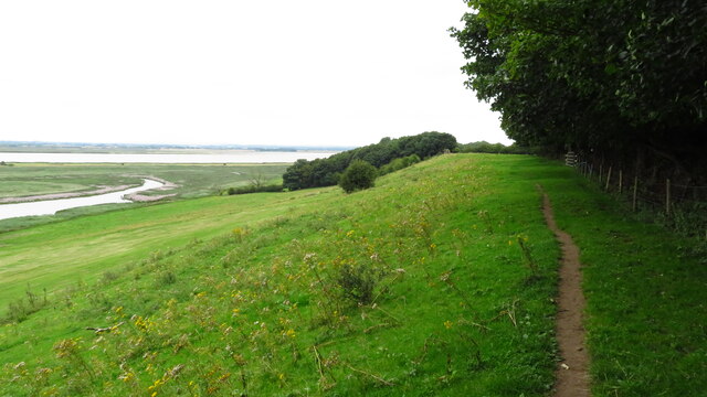
In addition to its historical and cultural significance, Julian's Bower also offers stunning views of the surrounding landscape. Situated on a hill, the site overlooks the confluence of the rivers Trent and Ouse, providing a picturesque backdrop for visitors.

Overall, Julian's Bower is a captivating heritage site that offers a glimpse into the past and provides an engaging and enjoyable experience for visitors. Its age-old maze and scenic location make it a must-visit destination for those interested in history, culture, and nature.

If you have any feedback on the listing, please let us know in the comments section below.

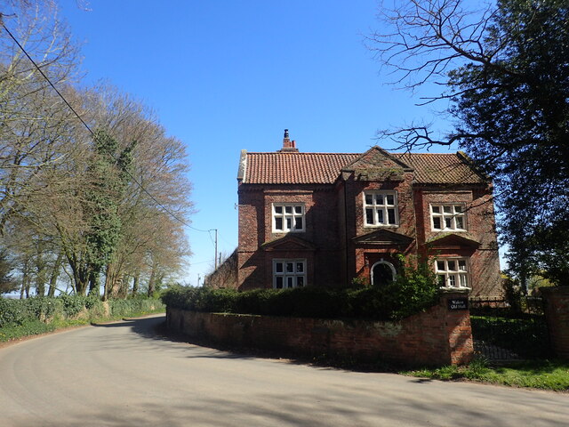
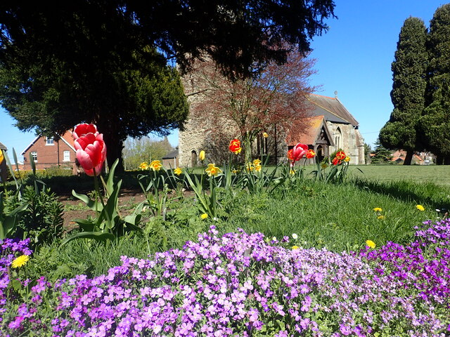
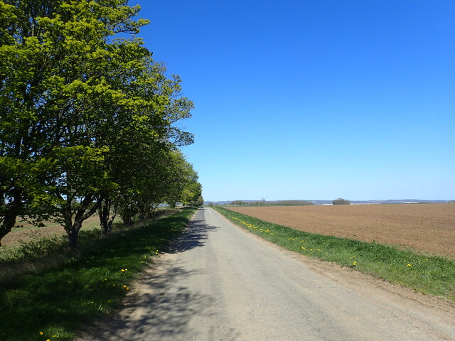
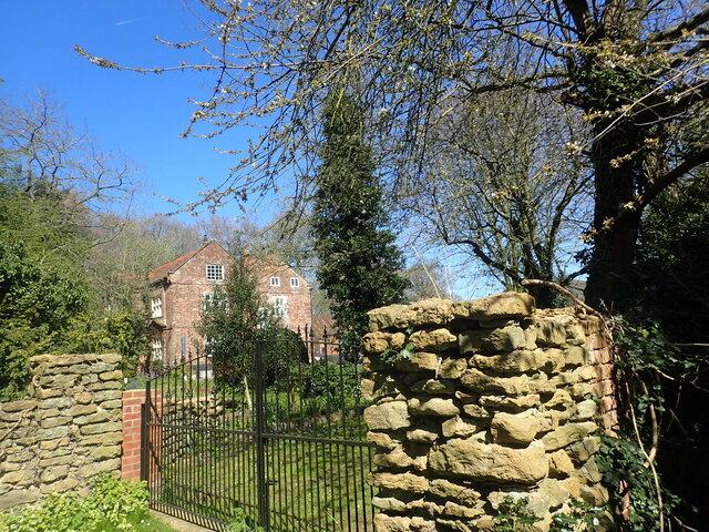
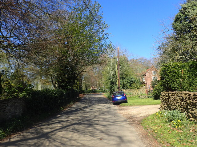
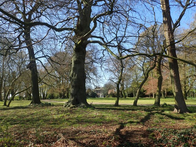
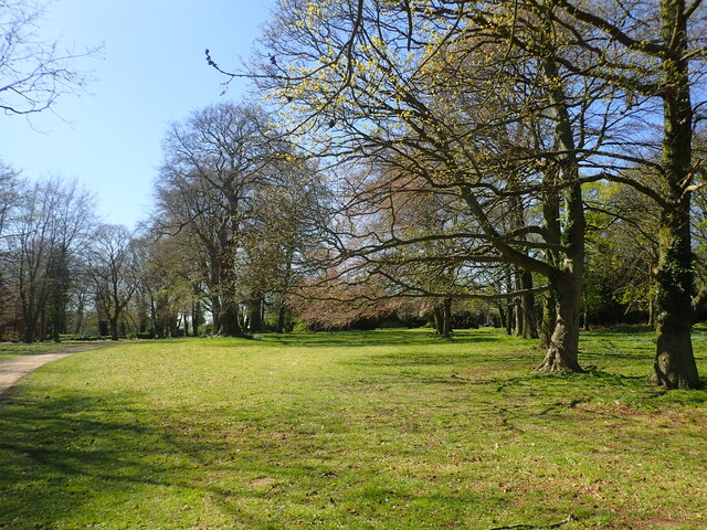
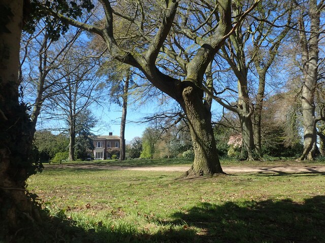
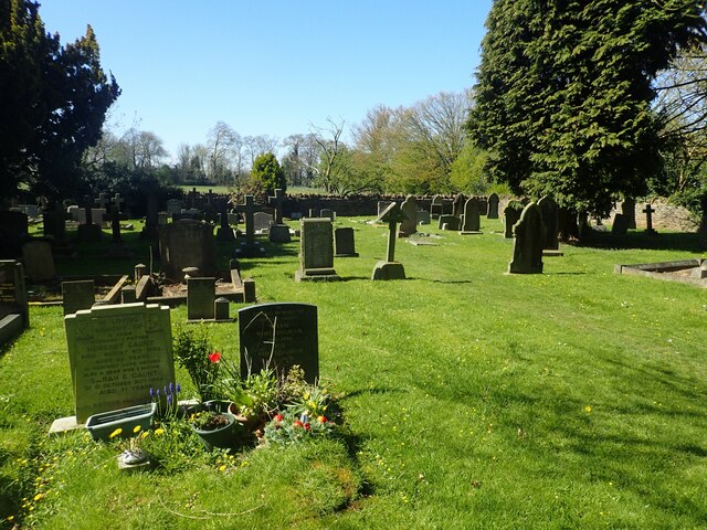
Julian's Bower Images

Images are sourced within 2km of 53.682/-0.675 or Grid Reference SE8721. Thanks to Geograph Open Source API. All images are credited.

Walcot Road A double line of pylons crosses over the road just ahead.
Walcot Road
A double line of pylons crosses over the road just ahead.
Looking along Walcot Road The pylons rise up beyond a field of oilseed rape.
Looking along Walcot Road
The pylons rise up beyond a field of oilseed rape.
Island House & the River Trent from Hill Top Plantation near Walcot
Julian's Bower (Maze), Alkborough
Alkborough - Church of St John the Baptist
Alkborough - War Memorial
On path between Alkborough & Whitton
Julian's Bower turf cut maze
Track off Walcot Road This track leads off Walcot Road, just south of Walcot.
Track off Walcot Road
This track leads off Walcot Road, just south of Walcot.
Walcot Old Hall Walcot Old Hall dates from the mid-17th century and is across the road from Walcot Hall which is mid-Georgian.
Walcot Old Hall
Walcot Old Hall dates from the mid-17th century and is across the road from Walcot Hall which is mid-Georgian.
St John Baptist Church, Alkborough The tower of the church is Anglo-Saxon while the upper part of the tower is Early English. The church was given to Spalding Priory in 1052. It is seen here from the corner of Church View and Church Side.
St John Baptist Church, Alkborough
The tower of the church is Anglo-Saxon while the upper part of the tower is Early English. The church was given to Spalding Priory in 1052. It is seen here from the corner of Church View and Church Side.
Whitton Road This is on the way out of Alkborough and heading towards the River Humber.
Whitton Road
This is on the way out of Alkborough and heading towards the River Humber.
Walcot Old Hall Walcot Old Hall dates from the mid-17th century and is across the road from Walcot Hall which is mid-Georgian. See also <a title="www.geograph.org.uk/photo/7468472" href="https://www.geograph.org.uk/photo/7468472">Link</a>
Walcot Old Hall
Walcot Old Hall dates from the mid-17th century and is across the road from Walcot Hall which is mid-Georgian. See also Link
Walcot Road Walcot Old Hall is on the right - see also <a title="www.geograph.org.uk/photo/7468472" href="https://www.geograph.org.uk/photo/7468472">Link</a>
Walcot Road
Walcot Old Hall is on the right - see also Link
Walcot Hall Walcot Hall was built in 1726 and is seen here from Walcot Road across its parkland. It is now a wedding venue - see <span class="nowrap"><a title="www.walcothallestate.co.uk" rel="nofollow ugc noopener" href="http://www.walcothallestate.co.uk">Link</a><img style="margin-left:2px;" alt="External link" title="External link - shift click to open in new window" src="https://s1.geograph.org.uk/img/external.png" width="10" height="10"/></span>  It is across the road from Walcot Old Hall - see <a title="www.geograph.org.uk/photo/7468472" href="https://www.geograph.org.uk/photo/7468472">Link</a>
Walcot Hall
Walcot Hall was built in 1726 and is seen here from Walcot Road across its parkland. It is now a wedding venue - see LinkExternal link It is across the road from Walcot Old Hall - see Link
The parkland of Walcot Hall Walcot Hall was built in 1726 and is seen here from Walcot Road across its parkland. It is now a wedding venue - see <span class="nowrap"><a title="www.walcothallestate.co.uk" rel="nofollow ugc noopener" href="http://www.walcothallestate.co.uk">Link</a><img style="margin-left:2px;" alt="External link" title="External link - shift click to open in new window" src="https://s1.geograph.org.uk/img/external.png" width="10" height="10"/></span>  It is across the road from Walcot Old Hall - see <a title="www.geograph.org.uk/photo/7468472" href="https://www.geograph.org.uk/photo/7468472">Link</a>
The parkland of Walcot Hall
Walcot Hall was built in 1726 and is seen here from Walcot Road across its parkland. It is now a wedding venue - see LinkExternal link It is across the road from Walcot Old Hall - see Link
Walcot Hall Walcot Hall was built in 1726 and is seen here from Walcot Road across its parkland. It is now a wedding venue - see <span class="nowrap"><a title="www.walcothallestate.co.uk" rel="nofollow ugc noopener" href="http://www.walcothallestate.co.uk">Link</a><img style="margin-left:2px;" alt="External link" title="External link - shift click to open in new window" src="https://s1.geograph.org.uk/img/external.png" width="10" height="10"/></span>  It is across the road from Walcot Old Hall - see <a title="www.geograph.org.uk/photo/7468472" href="https://www.geograph.org.uk/photo/7468472">Link</a>
Walcot Hall
Walcot Hall was built in 1726 and is seen here from Walcot Road across its parkland. It is now a wedding venue - see LinkExternal link It is across the road from Walcot Old Hall - see Link
Alkborough Cemetery Alkborough Cemetery is situated at the extreme south of the village off Walcot Road.
Alkborough Cemetery
Alkborough Cemetery is situated at the extreme south of the village off Walcot Road.
Show me another place!

Julian's Bower is located at Grid Ref: SE8721 (Lat: 53.682, Lng: -0.675)

Division: Parts of Lindsey

Unitary Authority: North Lincolnshire

Police Authority: Humberside

What 3 Words

///relaxing.hostels.alongside. Near Whitton, Lincolnshire

Related Wikis

Julian's Bower

Julian's Bower or Julian Bower is a name given to turf mazes in several different parts of England. Only one of this name still exists, at Alkborough in...
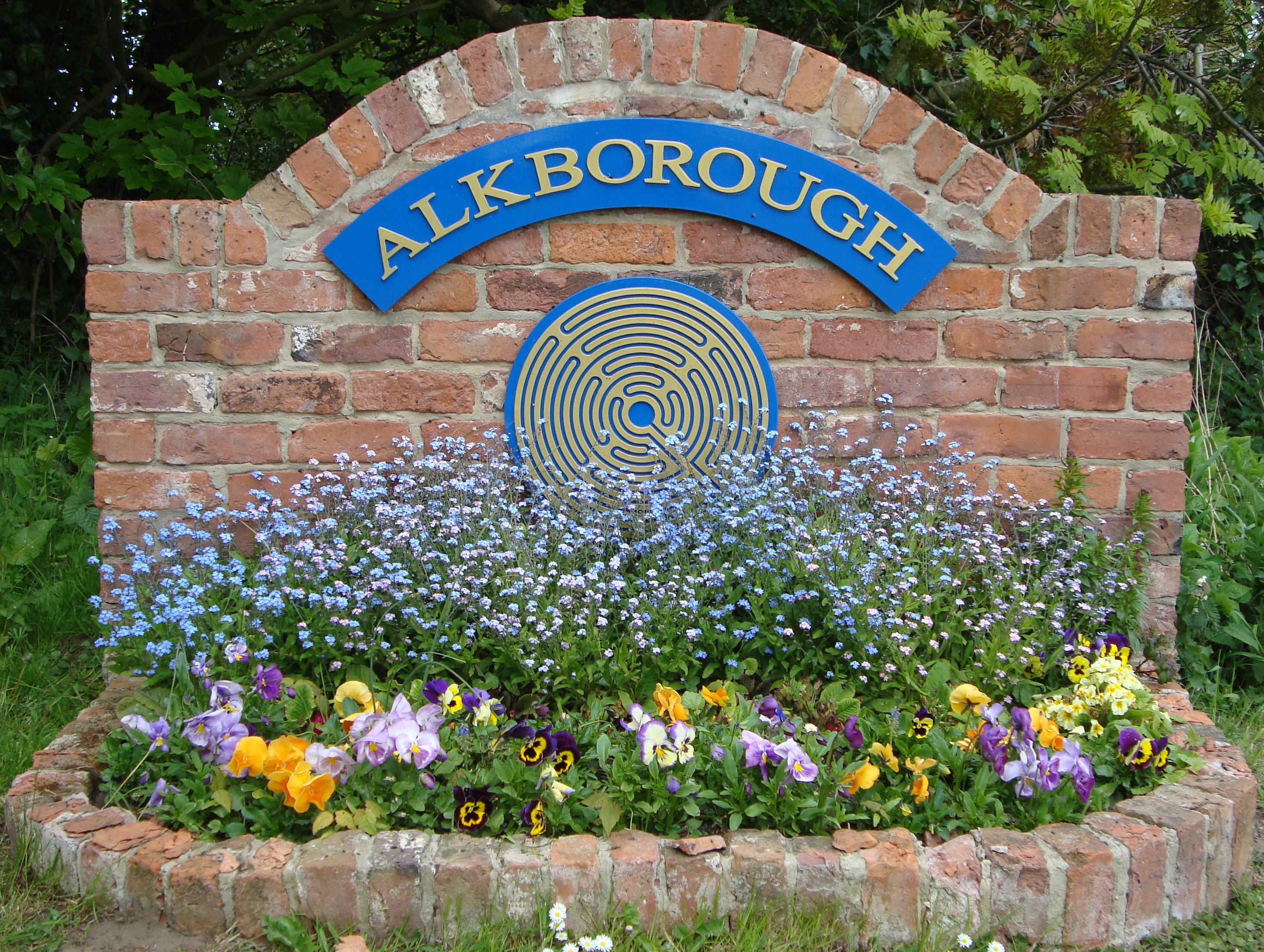
Alkborough

Alkborough is a parish of 471 people in 192 households (2021 census) in North Lincolnshire, England, located near the northern end of The Cliff range of...
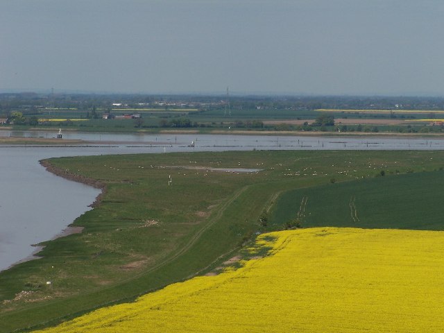
Trent Falls

Trent Falls is the confluence of the River Ouse and the River Trent which forms the Humber between Lincolnshire and the East Riding of Yorkshire in England...
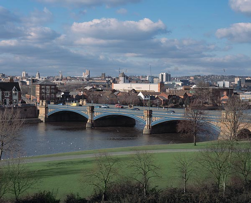
River Trent

The Trent is third in the list of longest rivers in the United Kingdom. Its source is in Staffordshire, on the southern edge of Biddulph Moor. It flows...

River Ouse, Yorkshire

The River Ouse ( OOZ) is a river in North Yorkshire, England. Hydrologically, the river is a continuation of the River Ure, and the combined length of...

Coleby, North Lincolnshire

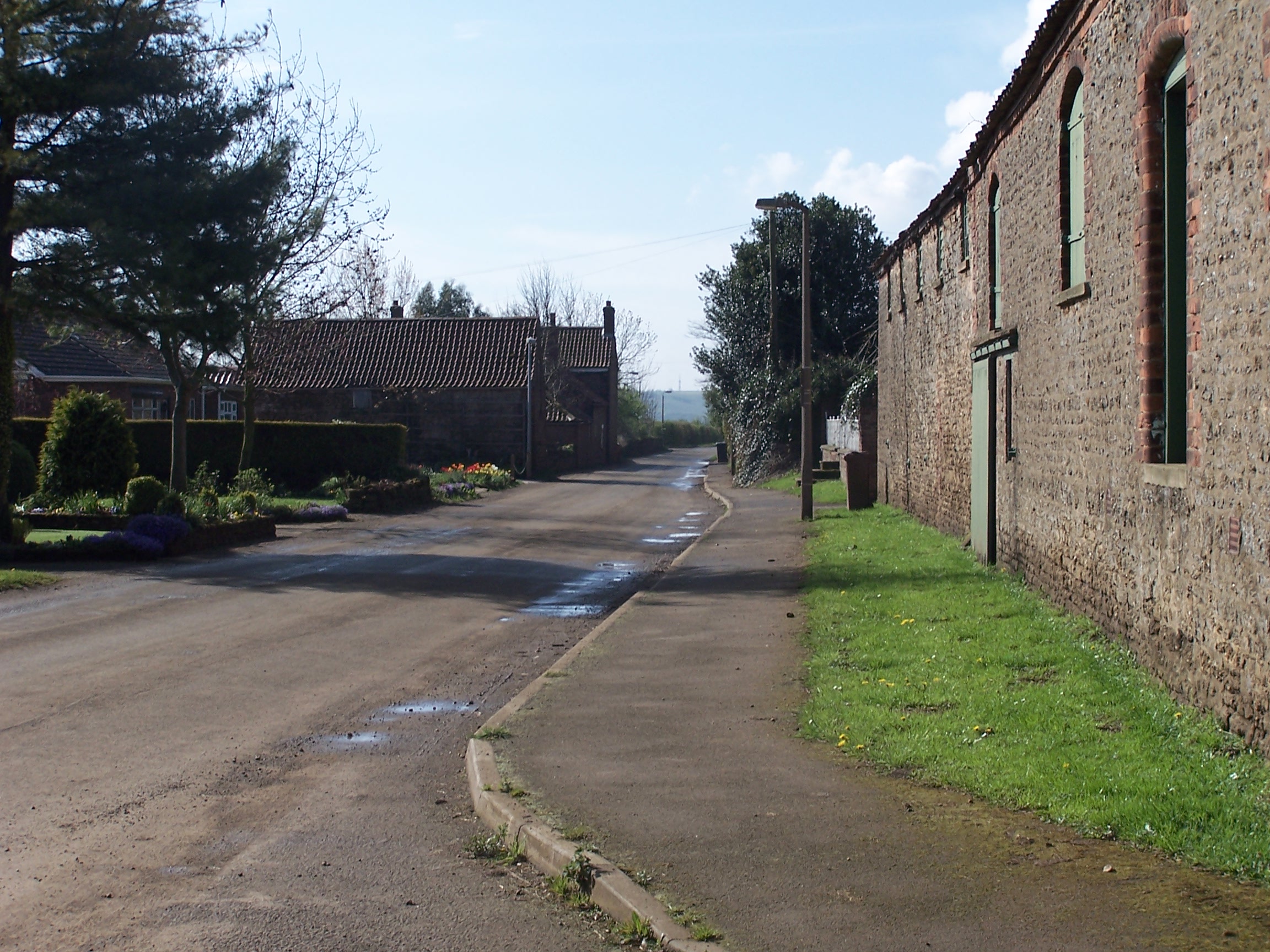
Coleby is a hamlet in the civil parish of West Halton in North Lincolnshire, England. It is situated approximately 7 miles (11 km) north from Scunthorpe...
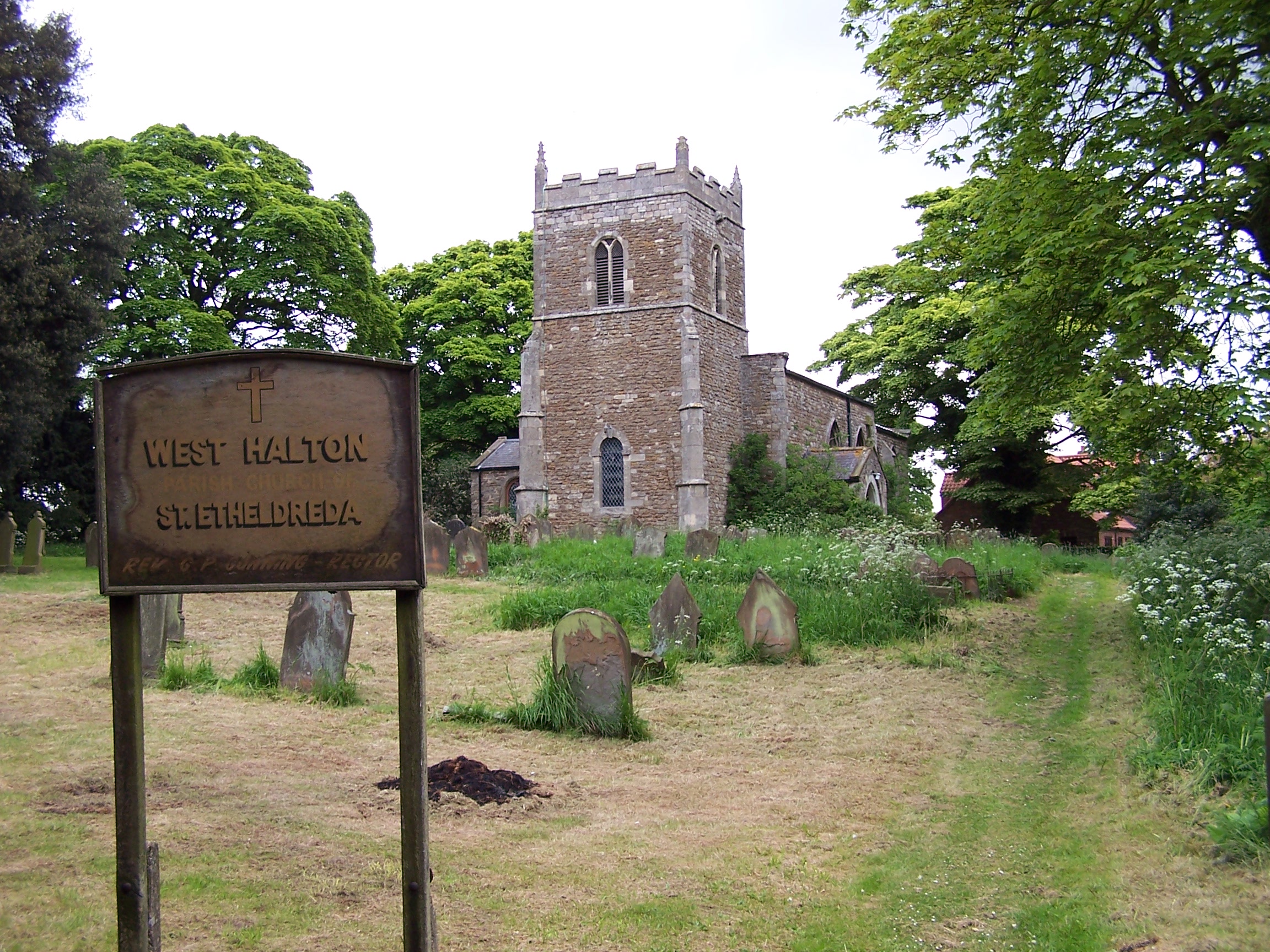
West Halton

West Halton is a village and civil parish in North Lincolnshire, England. It is situated 2.5 miles (4 km) north-west from Winterton, approximately 7 miles...

Faxfleet

Faxfleet is a hamlet and former civil parish, now in the parish of Blacktoft, in the East Riding of Yorkshire, England. It is situated approximately 6...

Nearby Amenities

Located within 500m of 53.682,-0.675
Walcot
Place: hamlet
Source: Bing
Lat/Long: 53.6783095/-0.670984
Post Box
Lat/Long: 53.6780522/-0.671558
College Farm
Place: farm
Source: Bing
Lat/Long: 53.6832897/-0.667721
Generator Method: photovoltaic
Generator Output Electricity: yes
Generator Source: solar
Generator Type: solar_photovoltaic_panel
Location: roof
Power: generator
Lat/Long: 53.6798446/-0.6726337
Generator Method: photovoltaic
Generator Output Electricity: yes
Generator Source: solar
Generator Type: solar_photovoltaic_panel
Location: roof
Power: generator
Lat/Long: 53.6830742/-0.6684977
Generator Method: photovoltaic
Generator Output Electricity: yes
Generator Source: solar
Generator Type: solar_photovoltaic_panel
Location: roof
Power: generator
Lat/Long: 53.6832124/-0.6682912
Generator Method: photovoltaic
Generator Output Electricity: yes
Generator Source: solar
Generator Type: solar_photovoltaic_panel
Location: roof
Power: generator
Lat/Long: 53.6834571/-0.668141
Generator Method: photovoltaic
Generator Output Electricity: yes
Generator Source: solar
Generator Type: solar_photovoltaic_panel
Location: roof
Power: generator
Lat/Long: 53.6833205/-0.6681946
The data included in this document is from www.openstreetmap.org. The data is made available under ODbL.

Have you been to Julian's Bower ?

Leave your review of Julian's Bower below (or comments, questions and feedback).