Countess Close
Heritage Site in Lincolnshire
England
Countess Close
Countess Close is a historical and archaeological site located in the county of Lincolnshire, England. It is situated near the village of Bardney and holds significant heritage value. The site is recognized for its well-preserved medieval earthworks, which consist of a motte and bailey castle.
The motte, or mound, is an artificial hill that was constructed during the 11th century as a defensive structure. It stands at an impressive height of approximately 15 meters and offers panoramic views of the surrounding landscape. The bailey, an enclosed courtyard, lies at the foot of the motte and would have housed various domestic buildings and structures.
Countess Close is believed to have been built by William de Roumare, who was granted the land by William the Conqueror after the Norman conquest of England. The site takes its name from Hawise, Countess of Lincoln, who owned the property in the 13th century. The castle played a significant role in the defense of the area during the medieval period.
Today, Countess Close is a popular heritage site and attracts visitors with its historical significance and scenic beauty. The earthworks remain well-maintained and offer a glimpse into the strategic and architectural prowess of the medieval era. The site is accessible to the public and provides opportunities for exploration, learning, and appreciation of the region's rich history.
If you have any feedback on the listing, please let us know in the comments section below.
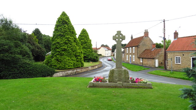
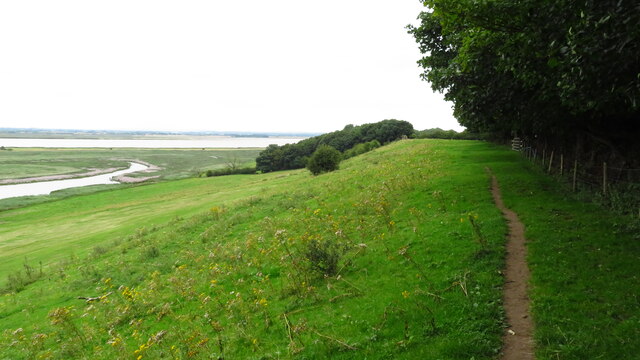
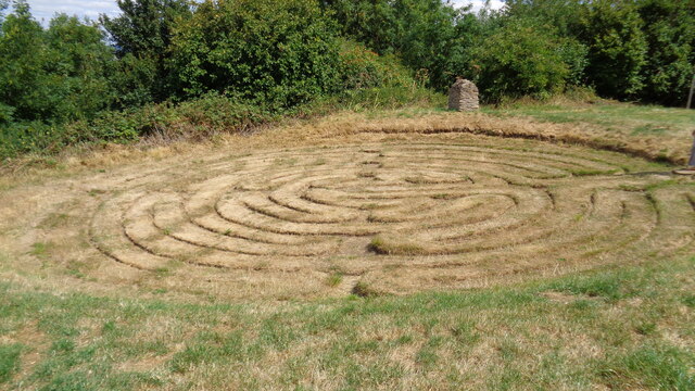
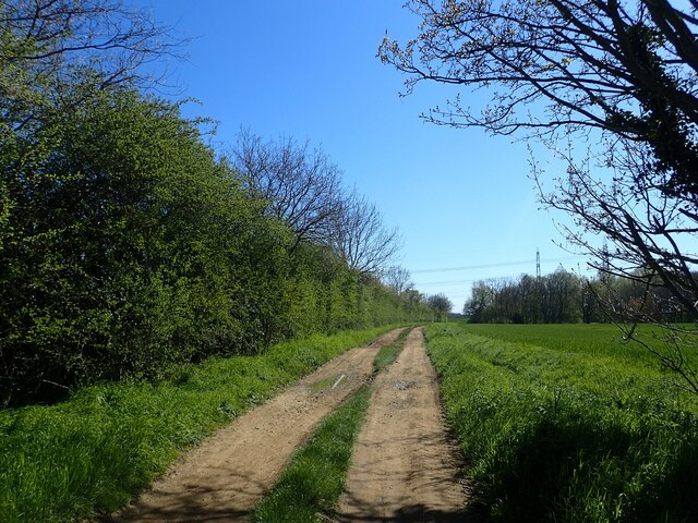
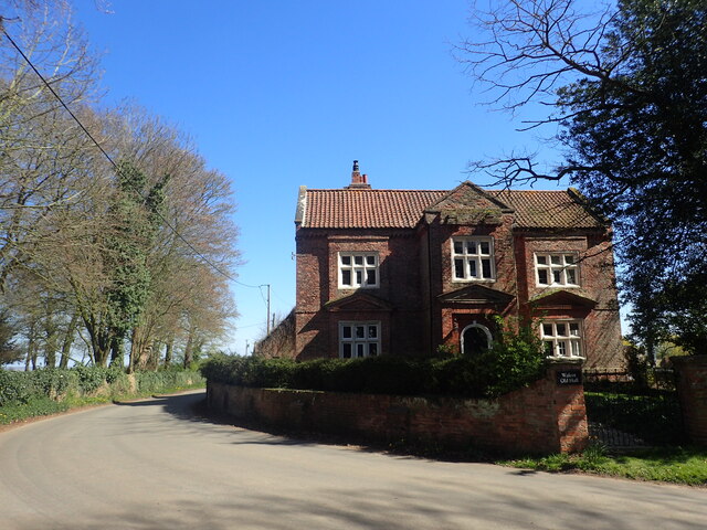
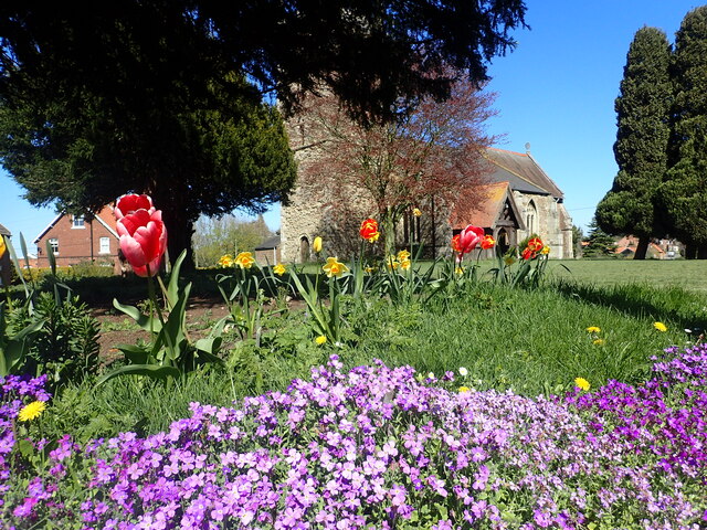
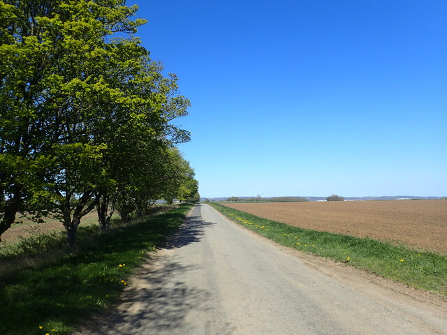
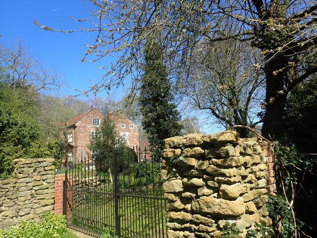
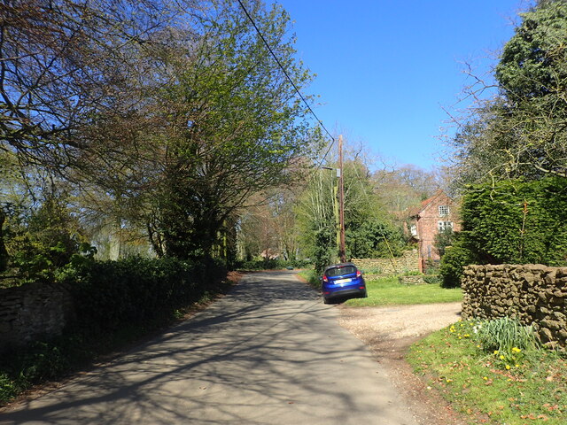
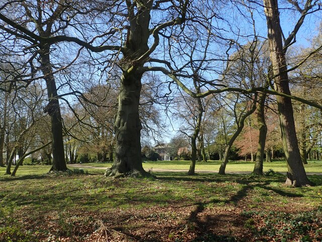
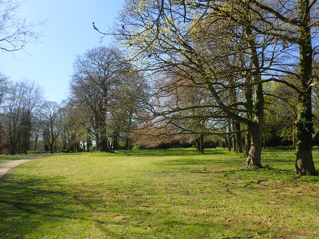
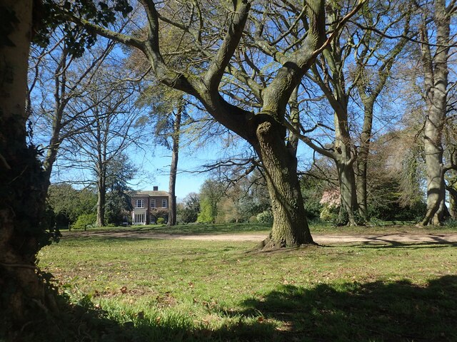
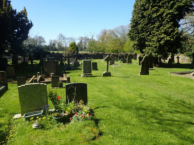
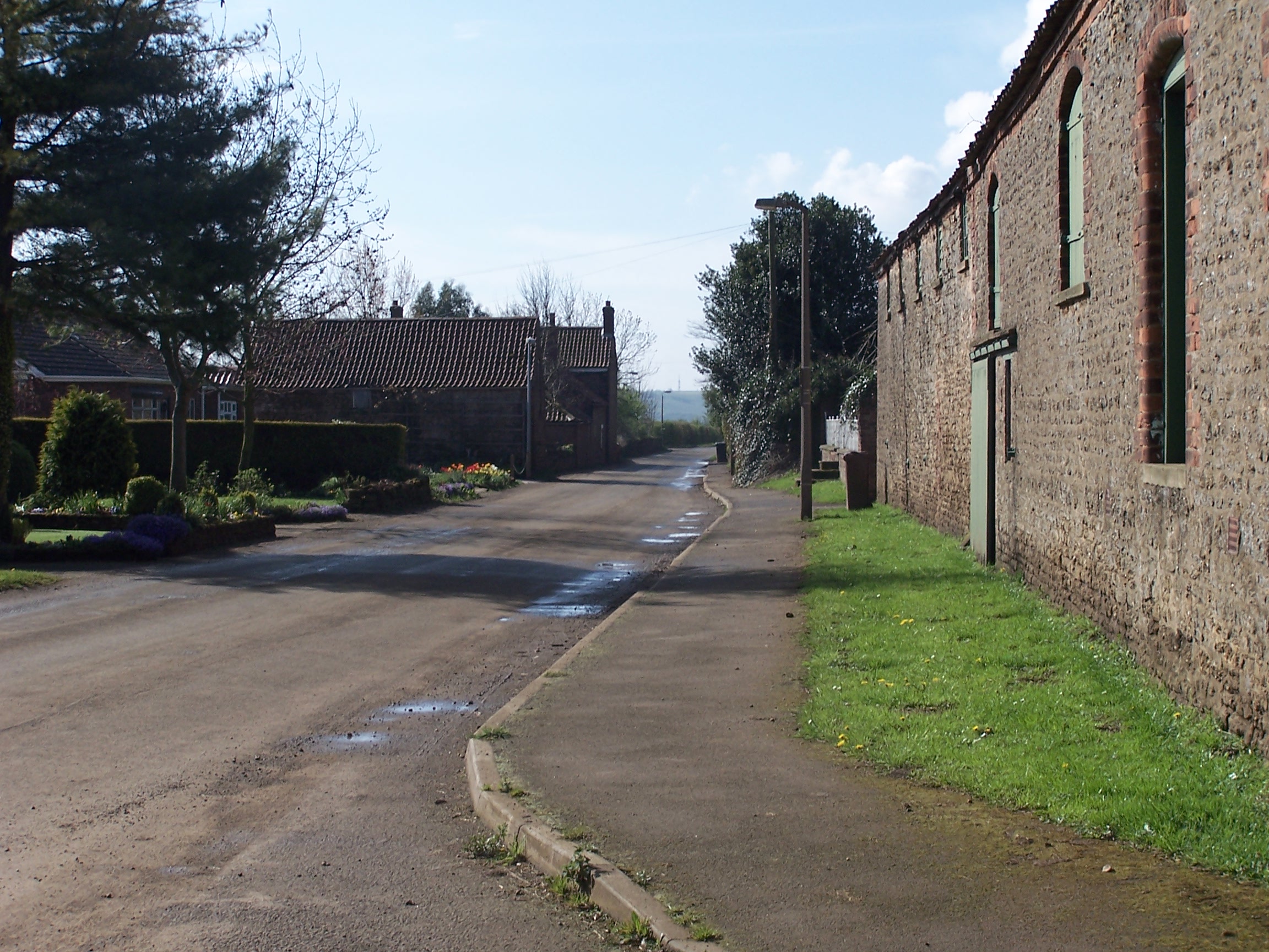
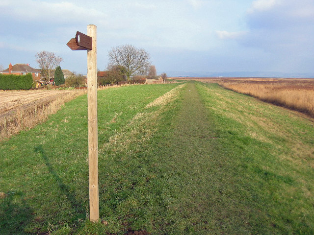
Countess Close Images
Images are sourced within 2km of 53.682/-0.675 or Grid Reference SE8721. Thanks to Geograph Open Source API. All images are credited.

Countess Close is located at Grid Ref: SE8721 (Lat: 53.682, Lng: -0.675)
Division: Parts of Lindsey
Unitary Authority: North Lincolnshire
Police Authority: Humberside
What 3 Words
///relaxing.hostels.alongside. Near Whitton, Lincolnshire
Nearby Locations
Related Wikis

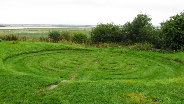
Julian's Bower
Julian's Bower or Julian Bower is a name given to turf mazes in several different parts of England. Only one of this name still exists, at Alkborough in...
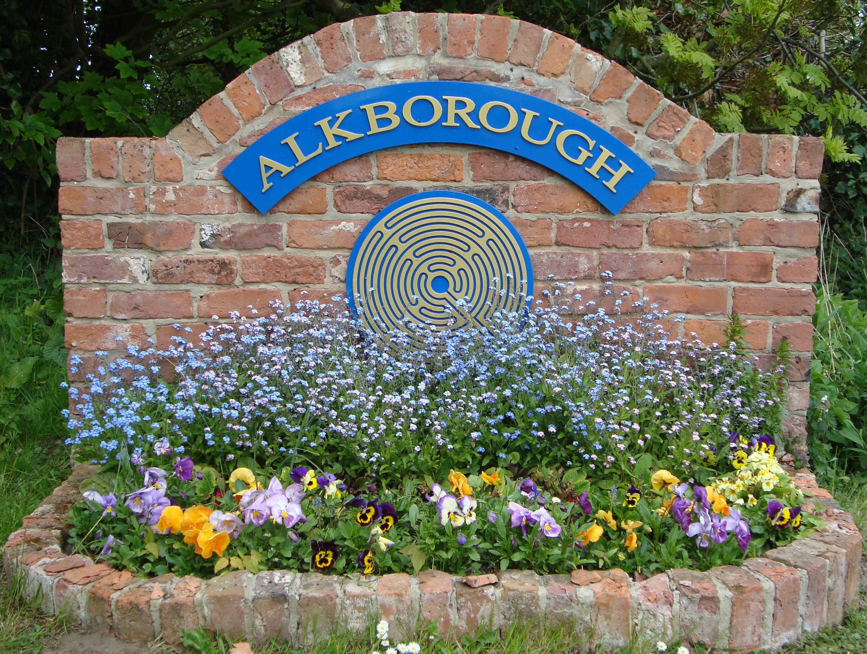
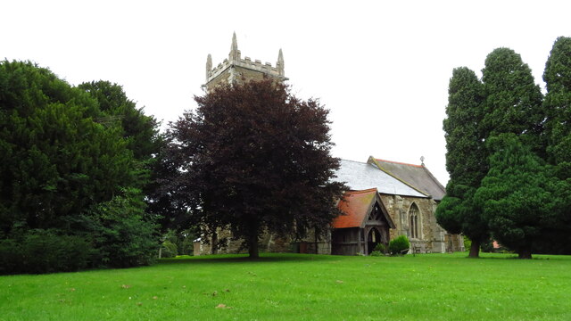
Alkborough
Alkborough is a parish of 471 people in 192 households (2021 census) in North Lincolnshire, England, located near the northern end of The Cliff range of...
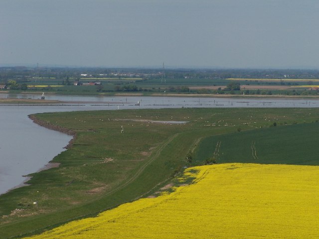
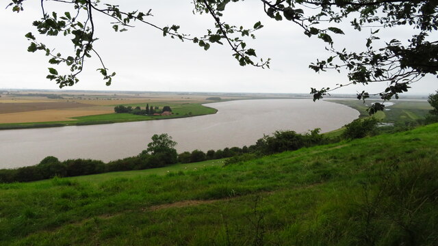
Trent Falls
Trent Falls is the confluence of the River Ouse and the River Trent which forms the Humber between Lincolnshire and the East Riding of Yorkshire in England...
River Trent
The Trent is third in the list of longest rivers in the United Kingdom. Its source is in Staffordshire, on the southern edge of Biddulph Moor. It flows...

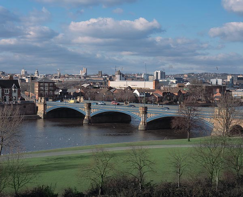
River Ouse, Yorkshire
The River Ouse ( OOZ) is a river in North Yorkshire, England. Hydrologically, the river is a continuation of the River Ure, and the combined length of...
Coleby, North Lincolnshire
Coleby is a hamlet in the civil parish of West Halton in North Lincolnshire, England. It is situated approximately 7 miles (11 km) north from Scunthorpe...
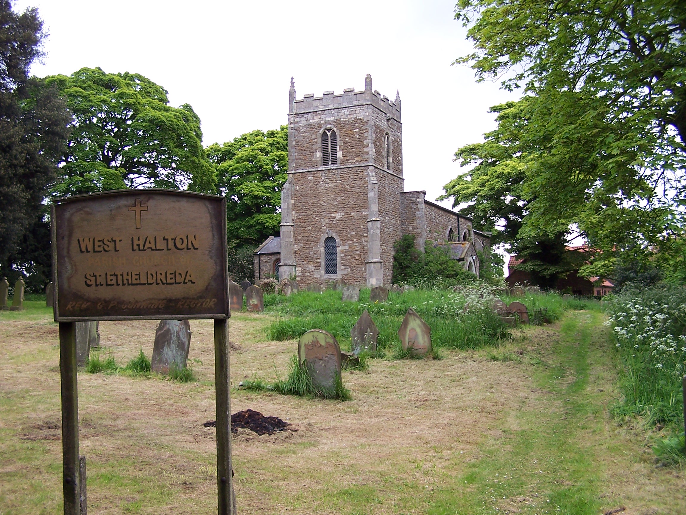
West Halton
West Halton is a village and civil parish in North Lincolnshire, England. It is situated 2.5 miles (4 km) north-west from Winterton, approximately 7 miles...
Faxfleet
Faxfleet is a hamlet and former civil parish, now in the parish of Blacktoft, in the East Riding of Yorkshire, England. It is situated approximately 6...
Nearby Amenities
Located within 500m of 53.682,-0.675Have you been to Countess Close?
Leave your review of Countess Close below (or comments, questions and feedback).