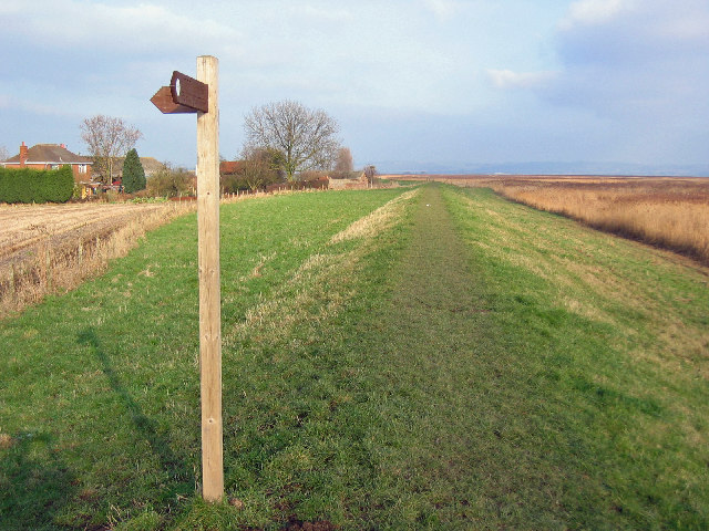
Hill Side Plantation
Wood, Forest in Lincolnshire
England
Hill Side Plantation
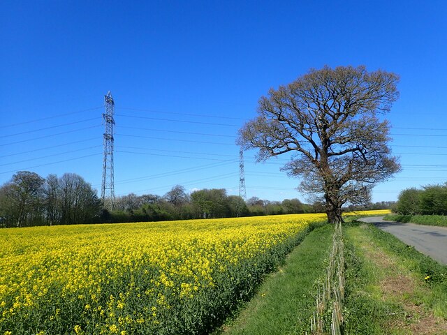
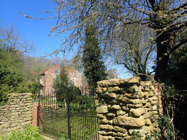
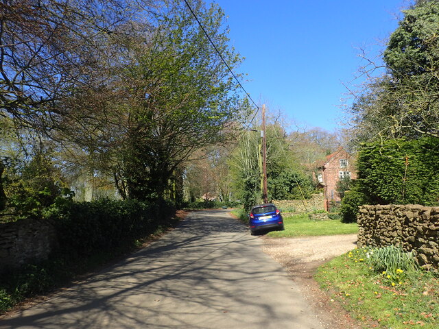
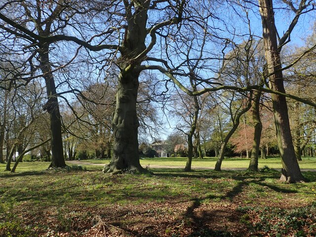
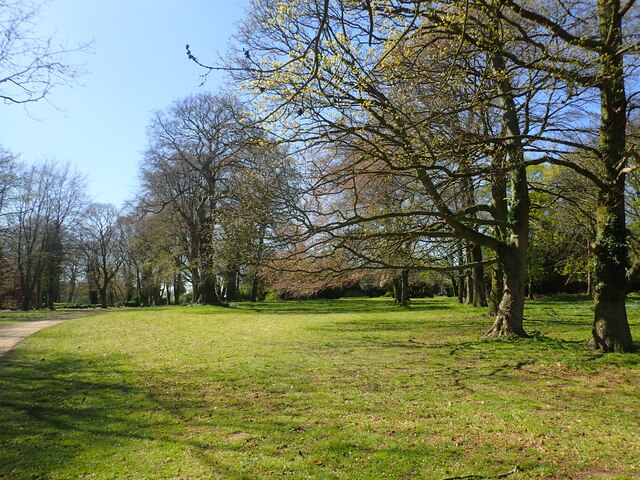
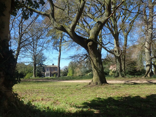
Hill Side Plantation, located in Lincolnshire, England, is a picturesque woodland area known for its natural beauty and diverse plant life. Spanning over a vast area, the plantation is a haven for nature enthusiasts and those seeking tranquility amidst the bustling city life.
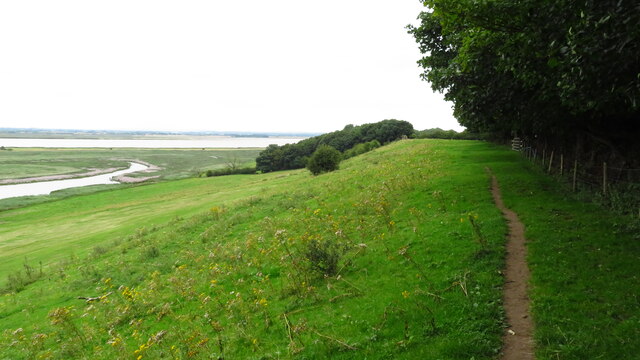
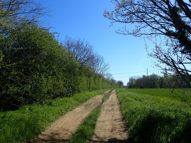
The plantation is characterized by its rolling hills, dense forests, and meandering streams, creating a captivating landscape that invites exploration. The diverse range of tree species found in Hill Side Plantation includes oak, beech, ash, and birch, among others, providing a rich tapestry of colors throughout the seasons.
Visitors to Hill Side Plantation can enjoy a variety of activities. Walking trails wind through the woodland, offering opportunities for leisurely strolls or more challenging hikes. The plantation also features picnic areas, allowing visitors to relax and soak in the natural surroundings while enjoying a meal.
The wildlife at Hill Side Plantation is equally impressive. The woodland is home to a range of animals, including deer, foxes, badgers, and a variety of bird species. Birdwatchers will especially appreciate the chance to spot rare species and observe their behaviors in their natural habitat.
Throughout the year, Hill Side Plantation hosts events and activities that celebrate the natural beauty and biodiversity of the area. These include guided nature walks, photography workshops, and educational programs for children.
Overall, Hill Side Plantation in Lincolnshire is a haven for nature lovers, offering a serene escape from the hustle and bustle of everyday life. Its diverse plant and animal life, along with its scenic landscapes, make it a must-visit destination for those seeking a connection with the natural world.
If you have any feedback on the listing, please let us know in the comments section below.
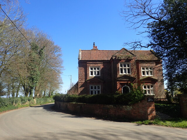
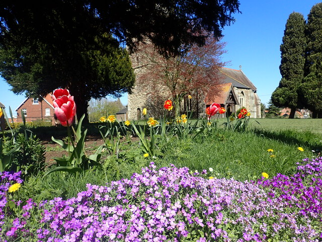
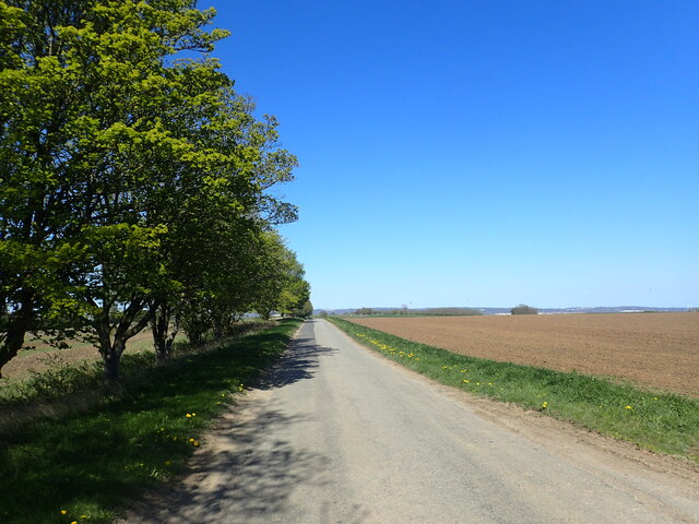
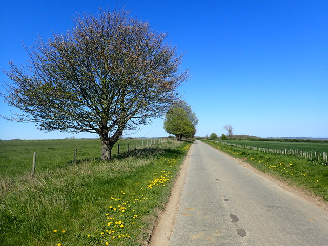
Hill Side Plantation Images
Images are sourced within 2km of 53.682347/-0.67277121 or Grid Reference SE8721. Thanks to Geograph Open Source API. All images are credited.

Hill Side Plantation is located at Grid Ref: SE8721 (Lat: 53.682347, Lng: -0.67277121)
Unitary Authority: North Lincolnshire
Police Authority: Humberside
What 3 Words
///operating.yoga.geek. Near Whitton, Lincolnshire
Nearby Locations
Related Wikis

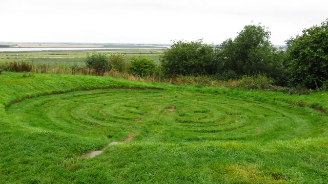
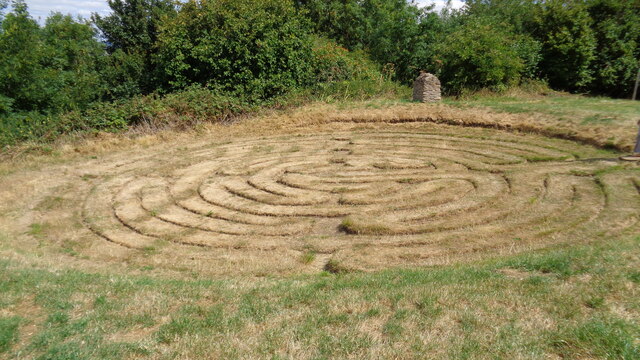
Julian's Bower
Julian's Bower or Julian Bower is a name given to turf mazes in several different parts of England. Only one of this name still exists, at Alkborough in...
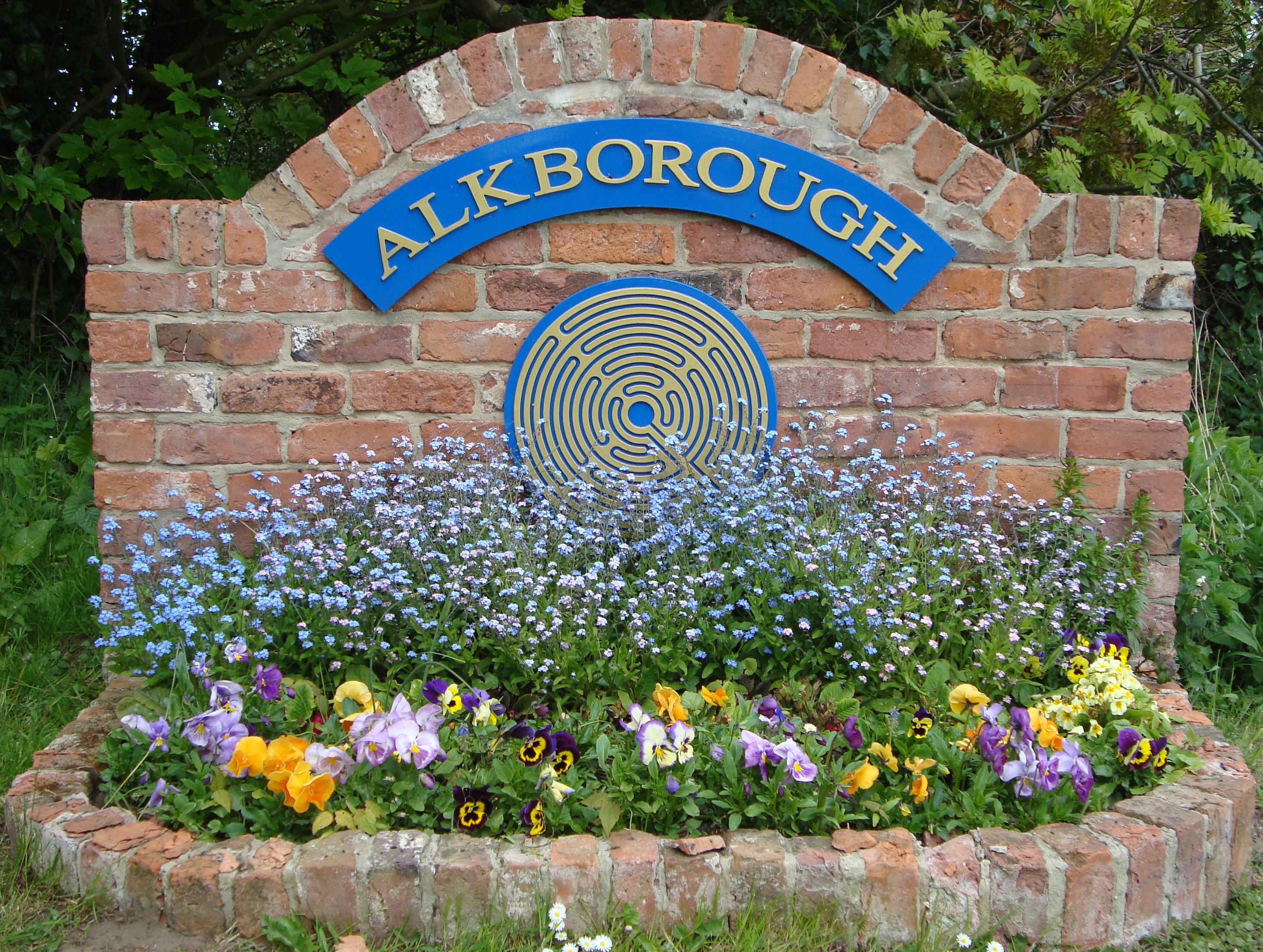
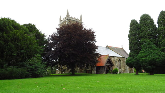
Alkborough
Alkborough is a parish of 471 people in 192 households (2021 census) in North Lincolnshire, England, located near the northern end of The Cliff range of...
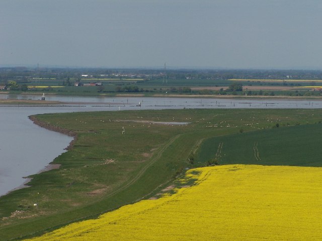
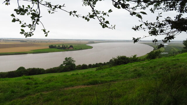
Trent Falls
Trent Falls is the confluence of the River Ouse and the River Trent which forms the Humber between Lincolnshire and the East Riding of Yorkshire in England...
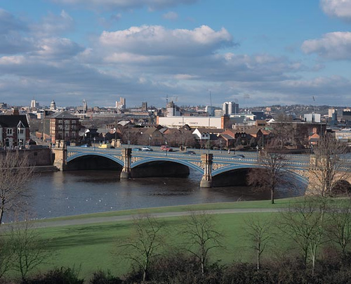
River Trent
The Trent is third in the list of longest rivers in the United Kingdom. Its source is in Staffordshire, on the southern edge of Biddulph Moor. It flows...

River Ouse, Yorkshire
The River Ouse ( OOZ) is a river in North Yorkshire, England. Hydrologically, the river is a continuation of the River Ure, and the combined length of...
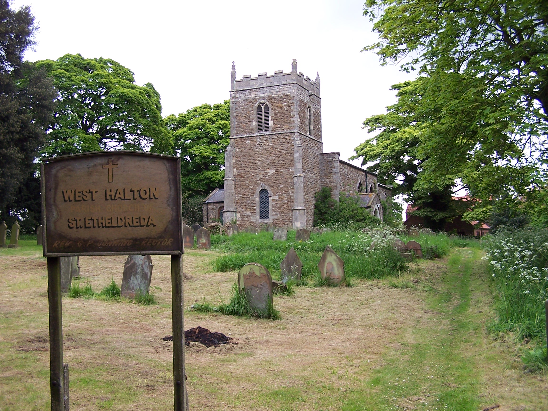
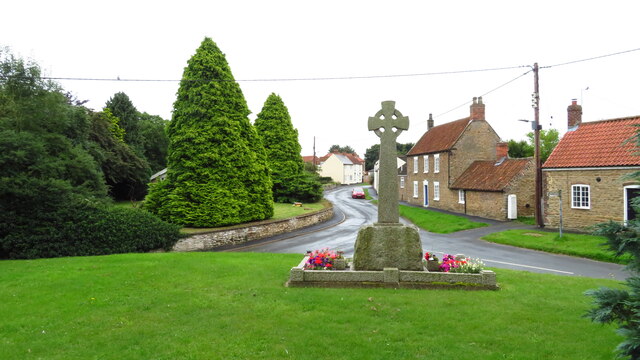
West Halton
West Halton is a village and civil parish in North Lincolnshire, England. It is situated 2.5 miles (4 km) north-west from Winterton, approximately 7 miles...
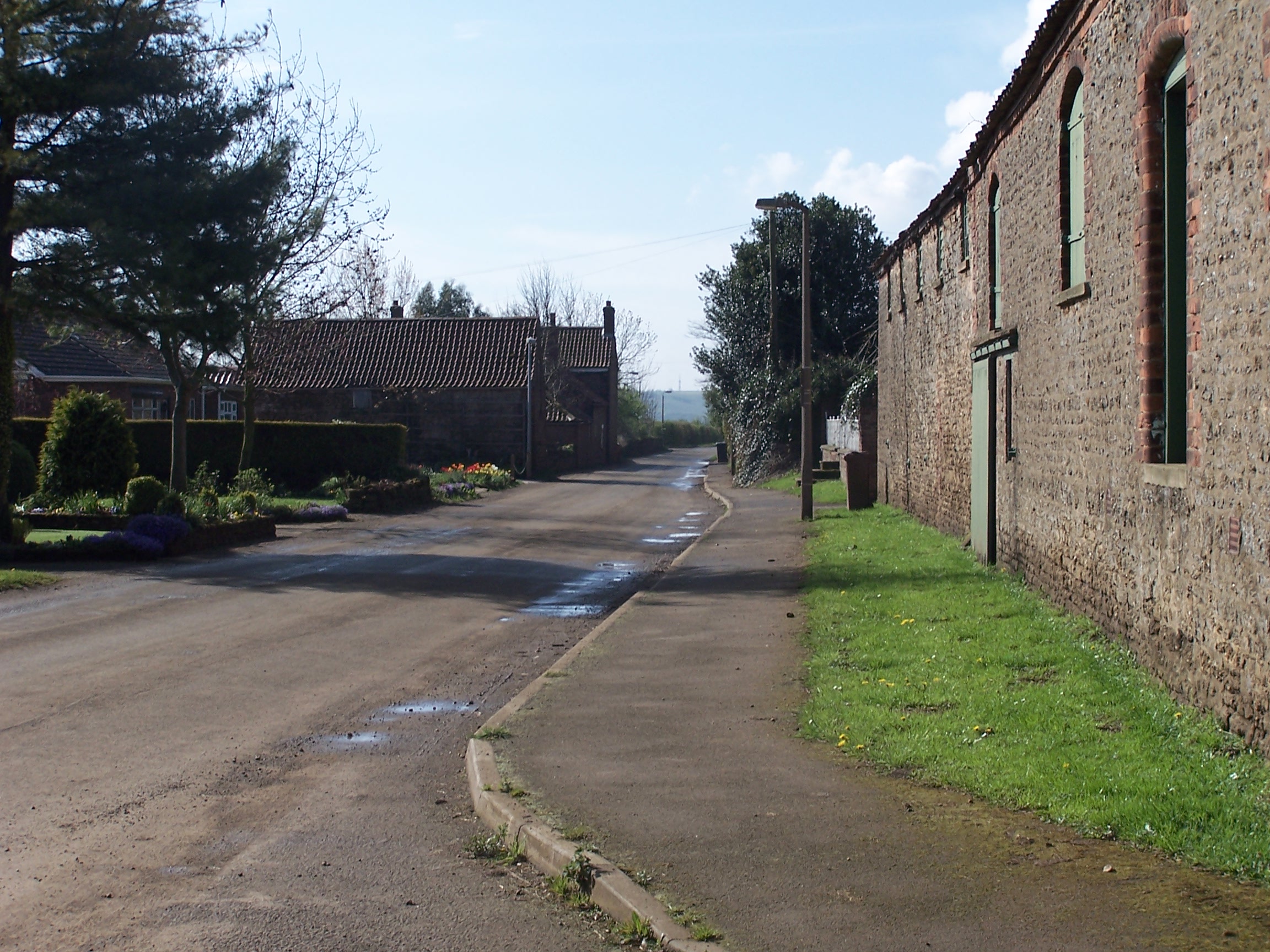
Coleby, North Lincolnshire
Coleby is a hamlet in the civil parish of West Halton in North Lincolnshire, England. It is situated approximately 7 miles (11 km) north from Scunthorpe...
Faxfleet
Faxfleet is a hamlet and former civil parish, now in the parish of Blacktoft, in the East Riding of Yorkshire, England. It is situated approximately 6...
Nearby Amenities
Located within 500m of 53.682347,-0.67277121Have you been to Hill Side Plantation?
Leave your review of Hill Side Plantation below (or comments, questions and feedback).