Jugger Howes

Heritage Site in Yorkshire Scarborough

England

Jugger Howes

The A171
The A171 Credit: David Lally

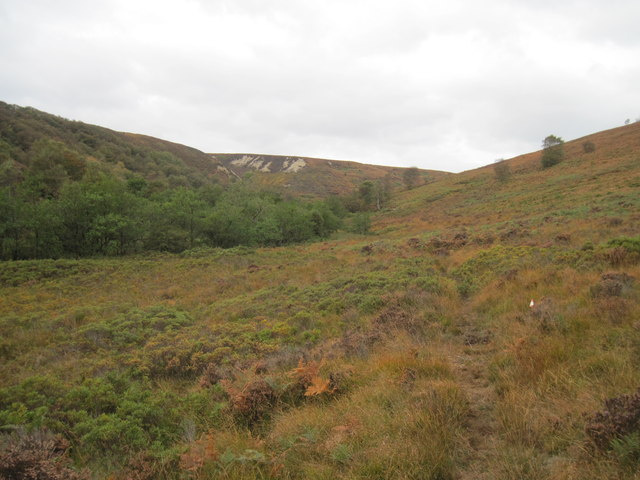
Jugger Howes, located in Yorkshire, England, is a significant heritage site that holds historical importance and attracts numerous visitors each year. This site is renowned for its remarkable collection of ancient standing stones, which are believed to date back to the Neolithic period, around 4000 to 2500 BC.

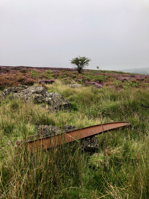
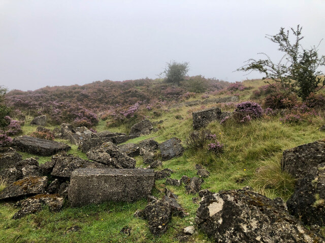
The standing stones at Jugger Howes are arranged in a circular formation, with the largest stone standing at an impressive height of 3 meters. Archaeological investigations have revealed that these stones were originally part of a much larger stone circle, which has unfortunately been partially destroyed over the centuries.

The purpose of this ancient stone circle remains a subject of debate among historians and archaeologists. Some speculate that it served as a religious or ceremonial site, while others believe it might have been used for astronomical observations or as a marker for seasonal events.

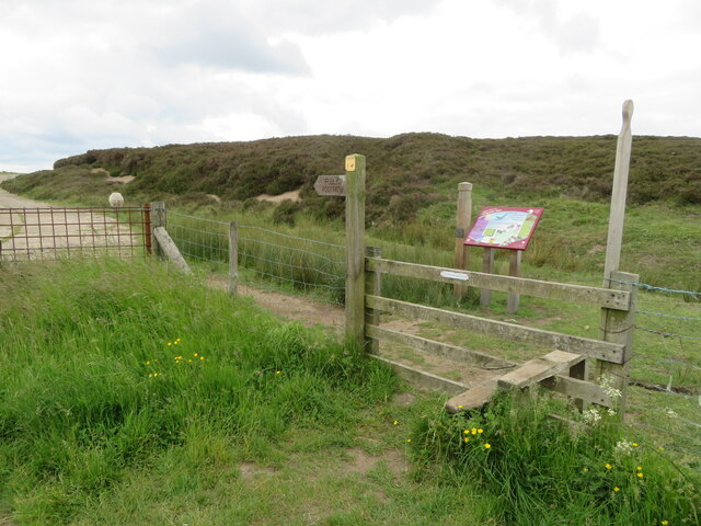
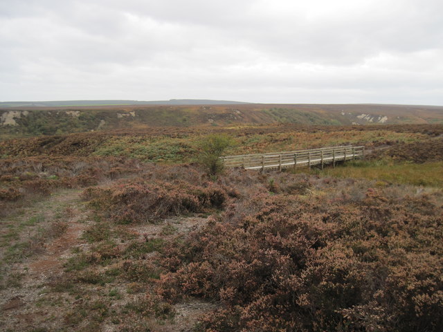
Visitors to Jugger Howes can explore the site and marvel at the ancient stones, gaining insight into the lives and beliefs of the people who erected them thousands of years ago. Interpretive panels provide information about the site's history, offering visitors a deeper understanding of its significance.

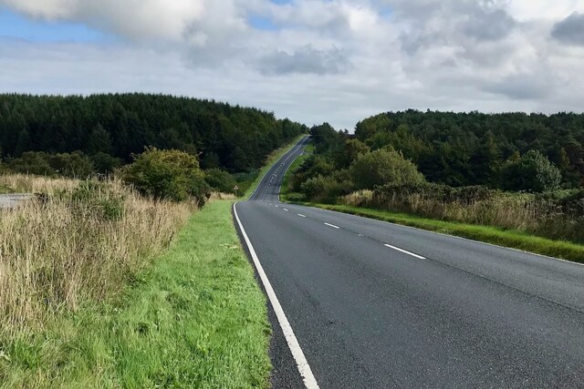
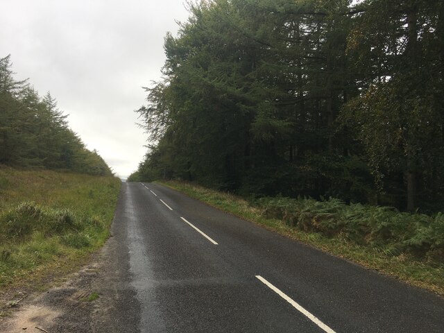
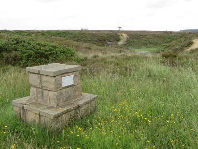
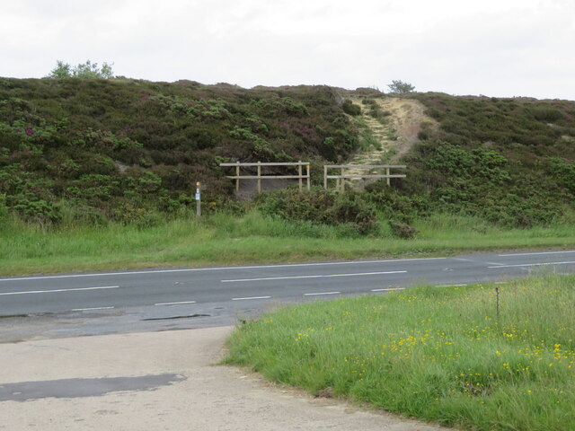
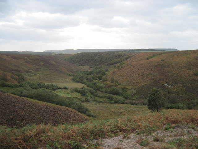
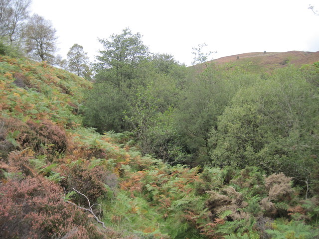
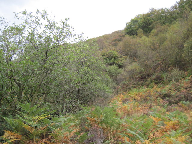
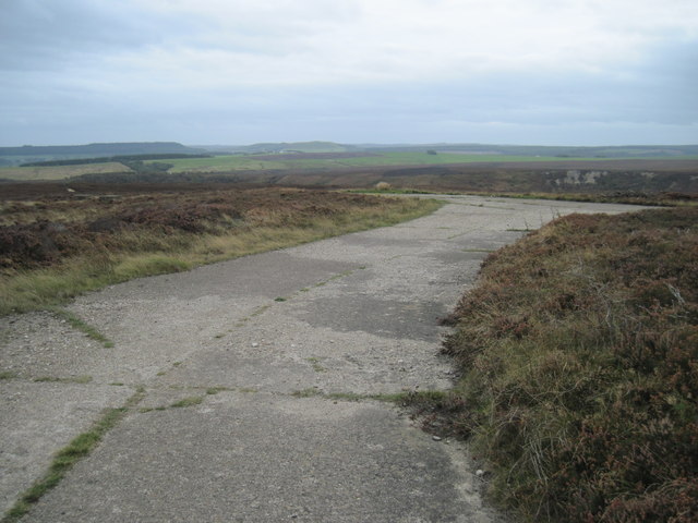
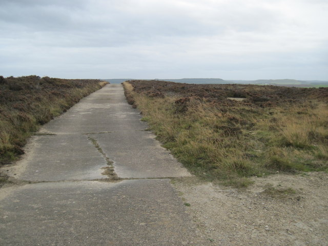
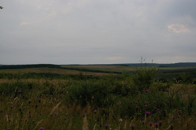
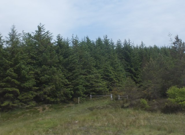
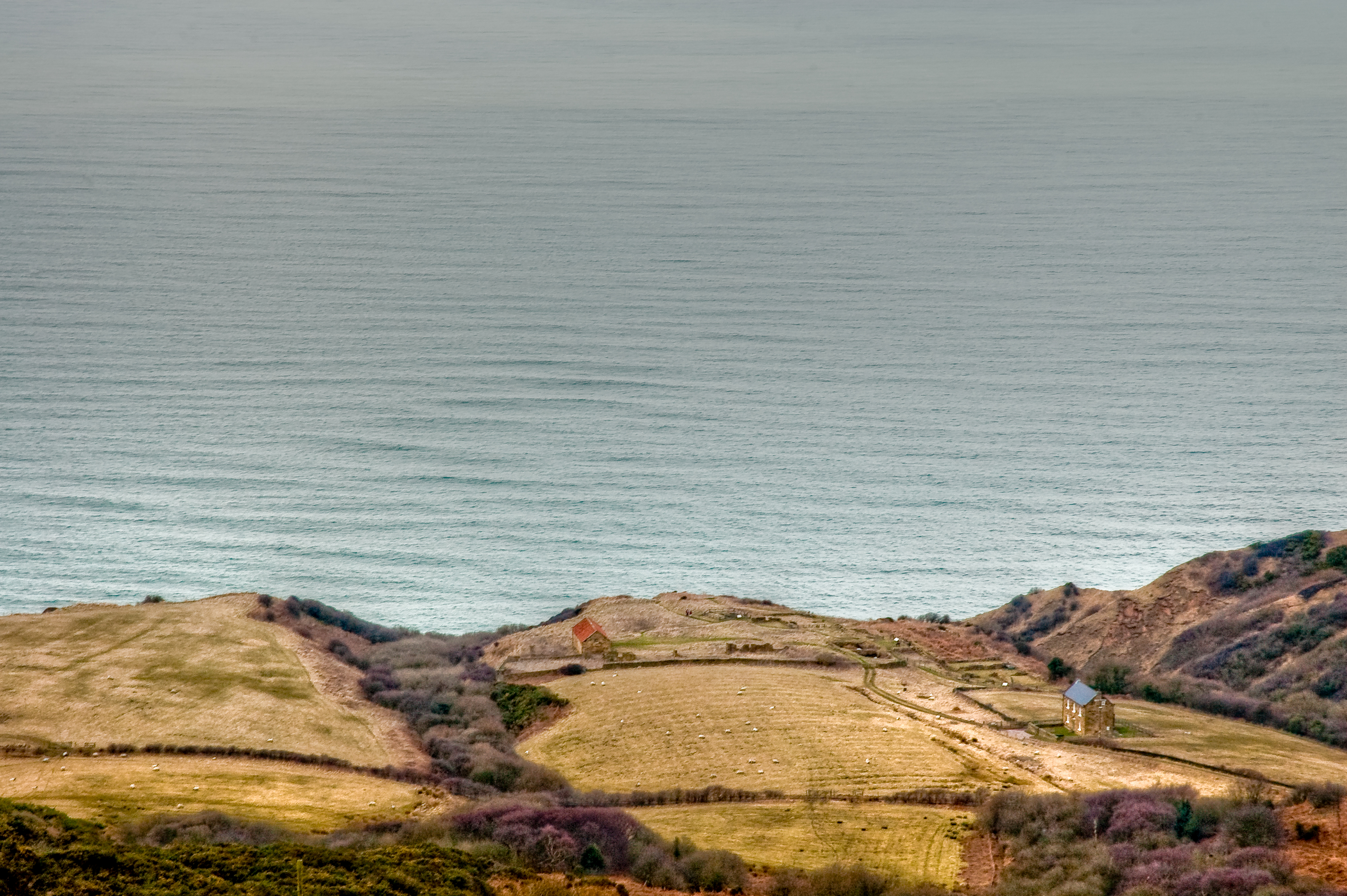
Jugger Howes is easily accessible, with designated walking paths and ample parking nearby. It is a popular destination for both history enthusiasts and nature lovers, as it offers stunning views of the surrounding Yorkshire countryside.

In summary, Jugger Howes in Yorkshire is a captivating heritage site featuring ancient standing stones that have endured for millennia. Its historical and cultural significance make it a must-visit destination for those interested in the ancient history of the region.

If you have any feedback on the listing, please let us know in the comments section below.
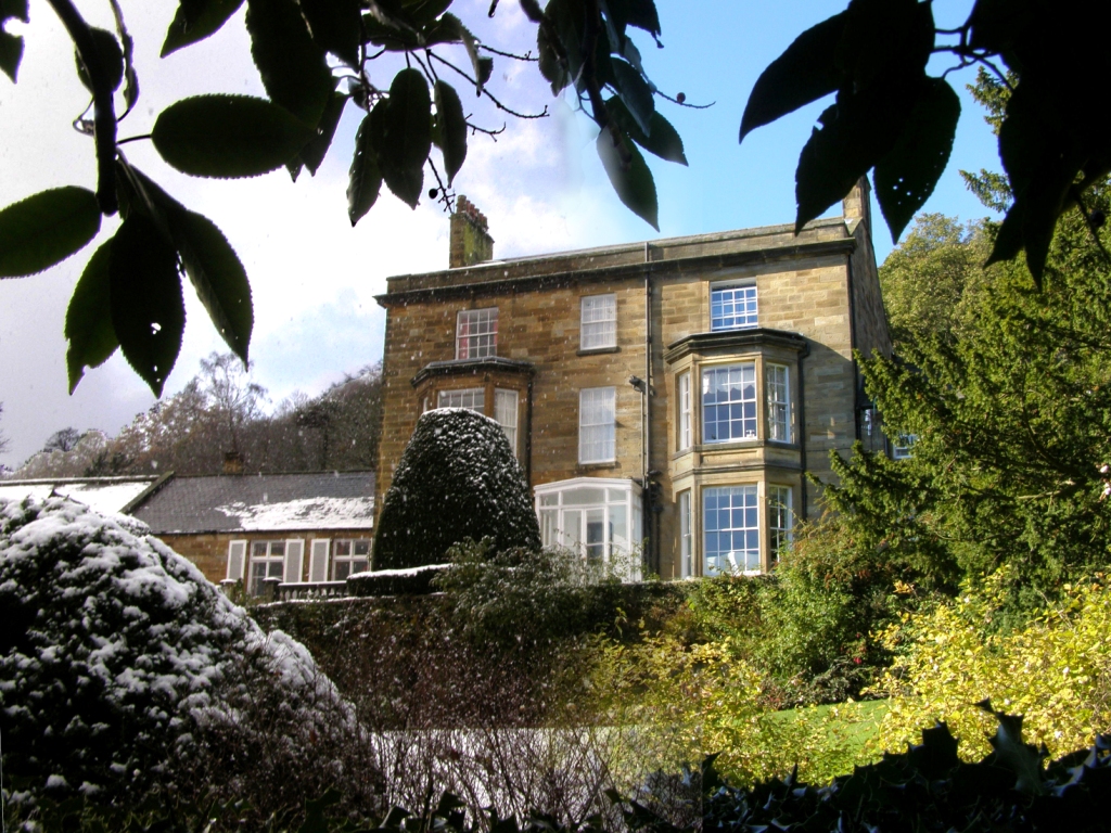
Jugger Howes Images

Images are sourced within 2km of 54.392/-0.545 or Grid Reference NZ9400. Thanks to Geograph Open Source API. All images are credited.

The A171
The A171
Purple Peril and Concrete Chaos: A Farce at Fylingdales Firing Range The remains of a World War II firing range including hut bases, concrete roads, a tramway used to carry moving targets, control tower and target bunkers.
NYM HER No: 7138/18299
Purple Peril and Concrete Chaos: A Farce at Fylingdales Firing Range
The remains of a World War II firing range including hut bases, concrete roads, a tramway used to carry moving targets, control tower and target bunkers. NYM HER No: 7138/18299
Heather Havoc: Remnants of War and Wily Bushes The remains of a World War II firing range including hut bases, concrete roads, a tramway used to carry moving targets, control tower and target bunkers.
NYM HER No: 7138/18299
Heather Havoc: Remnants of War and Wily Bushes
The remains of a World War II firing range including hut bases, concrete roads, a tramway used to carry moving targets, control tower and target bunkers. NYM HER No: 7138/18299
Helwath Road
Helwath Road
Lyke Wake Walk stile near Jugger Howe Moor This stile is off the A171 on the old by-passed road. The route is part of the Lyke Wake Walk from Osmotherley to Ravenscar.
Lyke Wake Walk stile near Jugger Howe Moor
This stile is off the A171 on the old by-passed road. The route is part of the Lyke Wake Walk from Osmotherley to Ravenscar.
Memorial to Pete Gough by the A171 and Lyke Wake Walk Pete Gough (1921-1994) was a founder member and team leader of the Scarborough and District Search and Rescue Team.
Memorial to Pete Gough by the A171 and Lyke Wake Walk
Pete Gough (1921-1994) was a founder member and team leader of the Scarborough and District Search and Rescue Team.
The A171 and the Lyke Wake Walk up on to Stony Marl Moor For the Wikipedia article on the Lyke Wake Walk see <span class="nowrap"><a title="http://en.wikipedia.org/wiki/Lyke_Wake_Walk" rel="nofollow ugc noopener" href="http://en.wikipedia.org/wiki/Lyke_Wake_Walk">Link</a><img style="margin-left:2px;" alt="External link" title="External link - shift click to open in new window" src="https://s1.geograph.org.uk/img/external.png" width="10" height="10"/></span>

The Lyke Wake Race is held in conjunction with the Osmotherley Summer Games and run in an East to West direction finishing in the village. On 11 July 1981 the author won the race in a time of 4 hours 51 minutes thereby setting a new record which lasted for several years.
The A171 and the Lyke Wake Walk up on to Stony Marl Moor
For the Wikipedia article on the Lyke Wake Walk see LinkExternal link The Lyke Wake Race is held in conjunction with the Osmotherley Summer Games and run in an East to West direction finishing in the village. On 11 July 1981 the author won the race in a time of 4 hours 51 minutes thereby setting a new record which lasted for several years.
The A171 at Helwath Road
Jugger  Howe Jugger Howe Beck follows the trees on the left, Jugger Howe Moor to the right
Jugger Howe
Jugger Howe Beck follows the trees on the left, Jugger Howe Moor to the right
New  Footbridge  Jugger  Howe  Moor Burn Howe Moor over the other side of Jugger Howe Slack
New Footbridge Jugger Howe Moor
Burn Howe Moor over the other side of Jugger Howe Slack
Jugger  Howe  Slack From Jugger Howe Moor looking into Jugger Howe Slack, Jugger Howe Beck follows the trees in the bottom
Jugger Howe Slack
From Jugger Howe Moor looking into Jugger Howe Slack, Jugger Howe Beck follows the trees in the bottom
Jugger  Howe  Beck Crossed the beck to see if a path existed at the other side!
Jugger Howe Beck
Crossed the beck to see if a path existed at the other side!
Looking  for  a  Path This is looking back, Jugger Howe Beck in the trees, Jugger Howe Moor high to the right
Looking for a Path
This is looking back, Jugger Howe Beck in the trees, Jugger Howe Moor high to the right
No  Footpath At this point we were beginning to think it was not a good idea to cross to this side of Jugger Howe Beck to find a footpath/animal track, and shortly after crossed back to the east bank.Jugger Howe Beck is to the left
No Footpath
At this point we were beginning to think it was not a good idea to cross to this side of Jugger Howe Beck to find a footpath/animal track, and shortly after crossed back to the east bank.Jugger Howe Beck is to the left
Disused  Military  Training  Area Jugger Howe Moor has a complex of concrete roads at its northern end, little else remains to show its military past.
Disused Military Training Area
Jugger Howe Moor has a complex of concrete roads at its northern end, little else remains to show its military past.
Disused  Military  Training  Area Section of concrete road on Jugger Howe Moor
Disused Military Training Area
Section of concrete road on Jugger Howe Moor
Burn Howe Moor from Harwood Dale Forest
Track into woodland To the east of the A171.
Track into woodland
To the east of the A171.
Show me another place!

Jugger Howes is located at Grid Ref: NZ9400 (Lat: 54.392, Lng: -0.545)

Division: North Riding

Administrative County: North Yorkshire

District: Scarborough

Police Authority: North Yorkshire

What 3 Words

///wing.regrowth.fails. Near Burniston, North Yorkshire

Related Wikis

Fyling Hall railway station

Fyling Hall railway station was a railway station on the Scarborough & Whitby Railway. It opened on 16 July 1885, and was named after Fyling Hall, near...

Fylingdales

Fylingdales is a civil parish in North Yorkshire, England situated south of Whitby, within the North York Moors National Park. It contains the villages...

Ravenscar, North Yorkshire

Ravenscar is a coastal village in the Scarborough district of North Yorkshire, England. It is within the civil parish of Staintondale and the North York...

Ramsdale Beck

Ramsdale Beck is a small river that feeds directly into the North Sea between Robin Hood's Bay and Ravenscar on the North Yorkshire coast in England. The...

The Pigsty

The Pigsty is a folly located next to Fyling Hall School, near Robin Hood's Bay, North Yorkshire, England. It is a Grade II* listed wooden building that...

Fyling Hall School

Fyling Hall is a private, co-educational day and boarding school situated near the small village of Fylingthorpe, near Robin Hood's Bay, 7 miles (11 km...

Ravenscar railway station

Ravenscar was a railway station on the Scarborough & Whitby Railway and served the village of Ravenscar, North Yorkshire, England. == History == The station...

Robin Hood's Bay Marine Laboratory

The Robin Hood's Bay Marine Laboratory was a marine scientific research and education unit in North Yorkshire, England, from 1912 to 1982. Purchased in...

Nearby Amenities

Located within 500m of 54.392,-0.545
Historic: archaeological_site
Source: OS 1:25k
Lat/Long: 54.3883585/-0.5480688
Historic: archaeological_site
Source: OS 1:25k
Lat/Long: 54.3882211/-0.5482941
Archaeological Site: tumulus
Historic: archaeological_site
Source: OS 1:25k
Lat/Long: 54.3902782/-0.5516307
Stony Mark Moor
Natural: moor
Source: OS 1:25k
Lat/Long: 54.3898659/-0.5388462
Historic: memorial
Inscription: Pete Gough
Lat/Long: 54.3891149/-0.5461363
Parking
Lat/Long: 54.3887076/-0.5454027
Jugger Howe
Information: board
Tourism: information
Lat/Long: 54.3888138/-0.5461856
The data included in this document is from www.openstreetmap.org. The data is made available under ODbL.

Have you been to Jugger Howes?

Leave your review of Jugger Howes below (or comments, questions and feedback).