Jubilee Cave
Heritage Site in Yorkshire
England
Jubilee Cave
Jubilee Cave, located in Yorkshire, England, is a renowned heritage site that holds significant historical and geological importance. Situated within the Yorkshire Dales National Park, this natural limestone cave has captivated visitors for centuries.
Jubilee Cave features a series of stunning stalactites and stalagmites, formed over thousands of years through the slow deposition of minerals. These formations create a mesmerizing underground landscape, showcasing the wonders of nature's artistry. The cave's vast chambers and narrow passageways provide a unique exploration experience for visitors.
The cave's historical significance lies in its use during the Victorian era. It was a popular destination for tourists and locals alike, who were drawn to its natural beauty. In 1887, Jubilee Cave was opened to celebrate Queen Victoria's Golden Jubilee, hence its name. To enhance the visitor experience, a pathway and staircase were constructed, allowing easier access to the cave's interior.
Today, Jubilee Cave is managed by the Yorkshire Dales National Park Authority, ensuring its preservation for future generations. Visitors can embark on guided tours to learn about the cave's geology, history, and wildlife. The cave's unique ecosystem supports a diverse range of species, including bats and cave spiders, which are protected under UK law.
Jubilee Cave continues to be a popular attraction, offering an enchanting underground experience for nature enthusiasts and history buffs alike. As visitors explore the cave's depths, they are transported to a world hidden beneath the surface, where the forces of nature have created a true marvel.
If you have any feedback on the listing, please let us know in the comments section below.
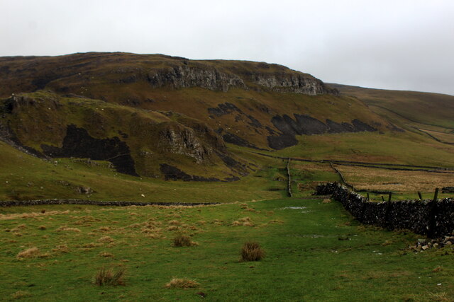
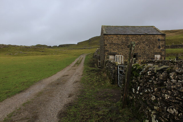
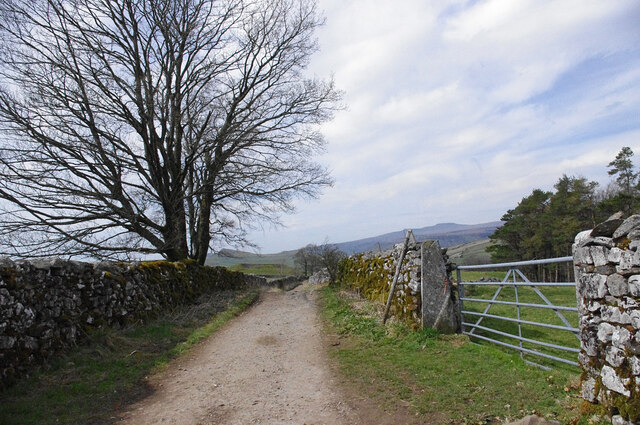
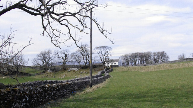
Jubilee Cave Images
Images are sourced within 2km of 54.085/-2.252 or Grid Reference SD8365. Thanks to Geograph Open Source API. All images are credited.
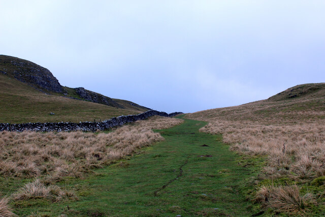
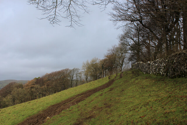
![Dry stone walls, Attermire [Image formed from 2 photos merged together.]](https://s2.geograph.org.uk/geophotos/07/14/80/7148022_a896aa42.jpg)
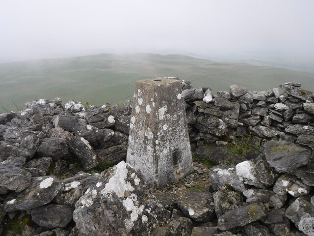
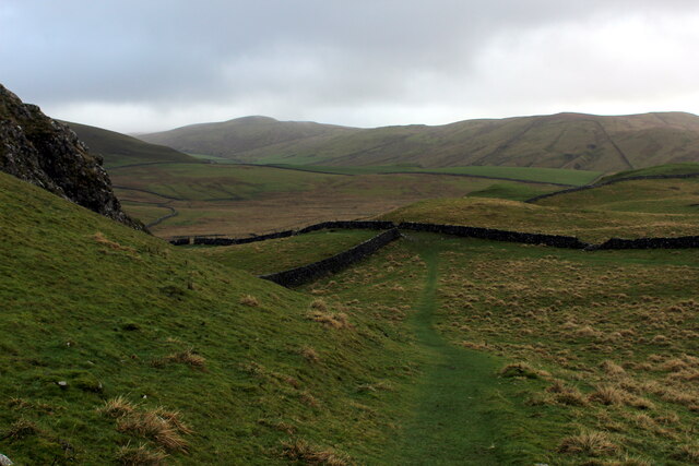
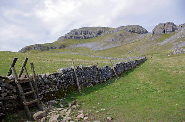
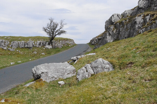
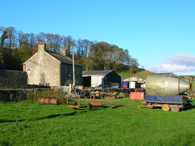
![Jubilee Cave [Image formed from 3 photos merged together.]](https://s2.geograph.org.uk/geophotos/07/14/80/7148030_2433a981.jpg)
![Catrigg Force Stainforth Beck falls into a wooded ravine.
[Image formed from 2 photos merged together.]](https://s2.geograph.org.uk/geophotos/07/14/80/7148054_c49cfc5a.jpg)
Jubilee Cave is located at Grid Ref: SD8365 (Lat: 54.085, Lng: -2.252)
Division: West Riding
What 3 Words
///streak.translated.compounds. Near Settle, North Yorkshire
Nearby Locations
Related Wikis
Langcliffe
Langcliffe is a village and civil parish in the Craven district of North Yorkshire, in England. It lies to the north of Settle and east of Giggleswick...
Stackhouse, North Yorkshire
Stackhouse (sometimes written as Stack House), is a hamlet near to Giggleswick on the western bank of the River Ribble in North Yorkshire, England. �...

Settle rail crash
The Settle rail crash was a railway accident that occurred at Langcliffe near Settle, England, on the night of 21 January 1960 in which two trains collided...

Settle Hydro
Settle Hydro is a micro hydroelectric scheme, owned by the community, in Settle, North Yorkshire, England. It is located on the River Ribble, at Settle...
Stainforth, North Yorkshire
Stainforth is a village and civil parish in the Craven district of North Yorkshire, England. It is situated north of Settle. Nearby there is a waterfall...

Stainforth Force
Stainforth Force (also known as Stainforth Foss and Ribble Falls), is a 2.5-metre (8 ft 2 in) high cascade waterfall on the River Ribble at Stainforth...

St Peter's Church, Stainforth
St Peter's Church is in the village of Stainforth, North Yorkshire, England. It is an active Anglican parish church in the deanery of Bowland, the archdeaconry...
Settle Rural District
Settle Rural District was an administrative district in the West Riding of Yorkshire, England. The rural district was named after the town of Settle and...
Nearby Amenities
Located within 500m of 54.085,-2.252Have you been to Jubilee Cave?
Leave your review of Jubilee Cave below (or comments, questions and feedback).